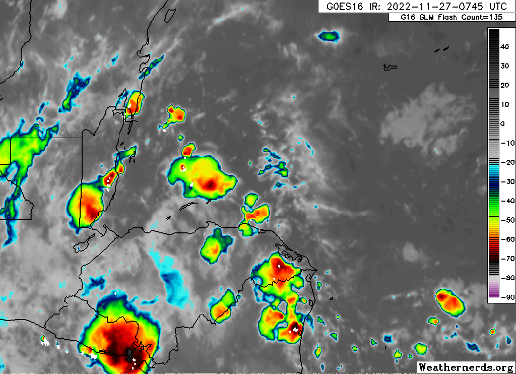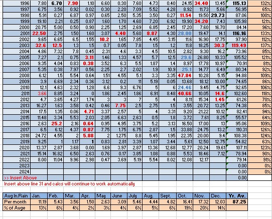
Rainfall for November 2022: If you want proof that rain varies on the island, just look at November’s rainfall. West Bay got about 9 inches, while West End picked up 20.25 inches. Midisland, Coral View got 12.17 while on the south side French Harbor got 17.16. The east side monitors were closer to the 13-14 inch mark. We will put Coral View’s 12.17 in the record books. While it might have seemed plenty wet, we were actually well under our normal November rainfall of just over 17 inches.
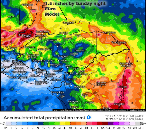
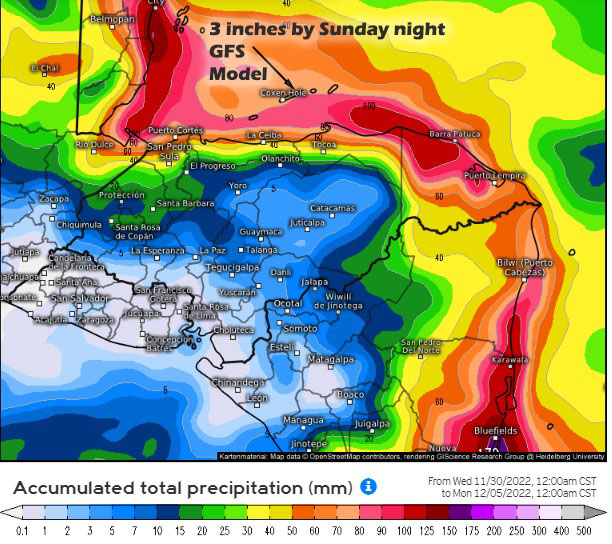
The 12 inches we got in November would be normal for December. Our weather pattern is starting out pretty moderate when it comes to rain. Most cold fronts have pushed east of the US instead of south this year, causing most of our energy to come from the northeast, giving us scattered showers but not torrential rains like we often get in rainy season.