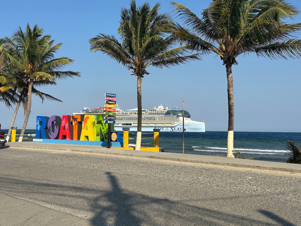
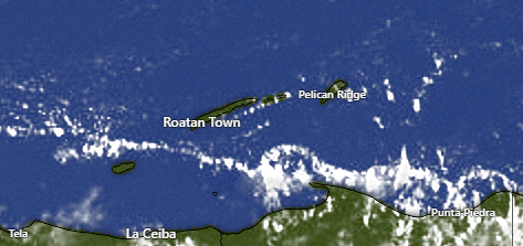
Good morning Bay Islands. For our photo of the day is Murray Diederich’s pic of the last time the world’s largest cruise ship docked on our island. This time it will be greeted with morning clouds, afternoon sun and brisk east winds.
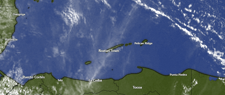
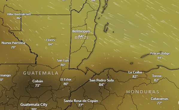
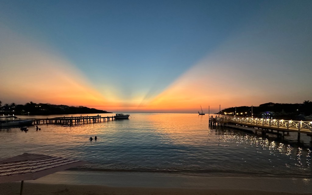
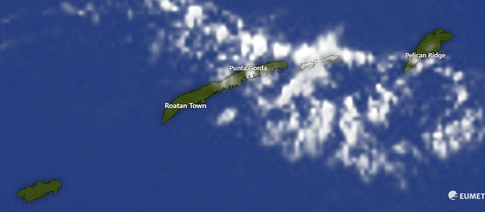
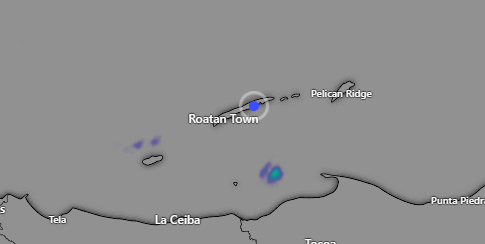
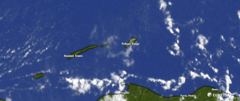
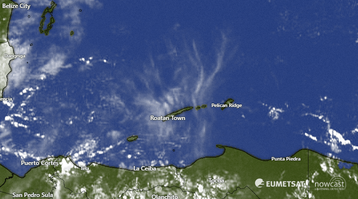
The clouds we have this morning are the result of these mid-level clouds moving in from Belize. These will bring us some relief from the morning sun, but no rain. We should see more sun midday and in the afternoon. Today we will have east winds 15-20 mph and seas 3-4 feet during the day southside and 20-30 mph tonight with seas 4-5 feet southside. Tomorrow winds and seas will be slightly less than today and by Wednesday they should be pretty consistently 15 mph and seas 2-3 feet. Unfortunately our midweek morning rain chances, which once looked pretty good, now look pretty bad. We’ll keep a 10 percent chance of a morning shower Wednesday and Thursday.

You only have two days left to get the great deal of 25 percent of Galaxy Wave tickets to La Ceiba. Remember you can purchase them at Petrosun and Roa Market locations, as well as Casa Blanca in Pandy Town!

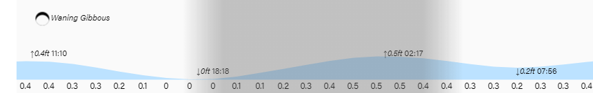
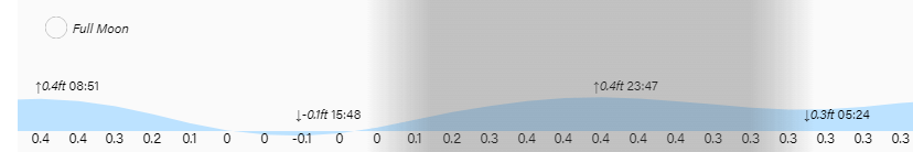
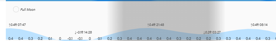
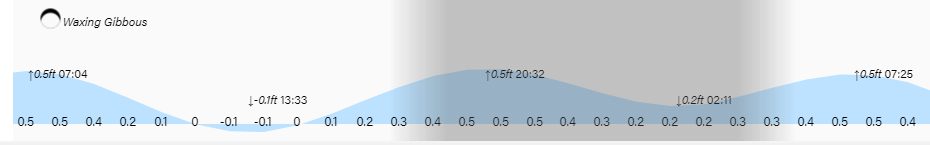
Low tide will be 7:45 p.m. Have a great week!