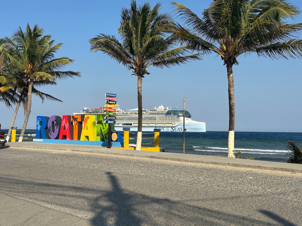
Good morning Bay Islands. Our photo of the day comes from Kathy Sidenstricker and shows the Icon of the Seas, the largest cruise ship in the world, behind the Flowers Bay Roatan sign. The Icon will be returning to the island tomorrow. It will be a windy, dry visit.
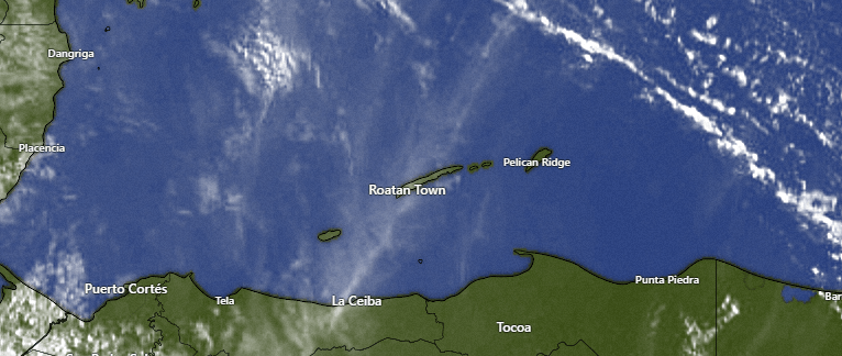
On satellite this morning, the popcorn clouds are well to our northeast, so another dry day is in store. We have some high hazy clouds and speaking of haze …
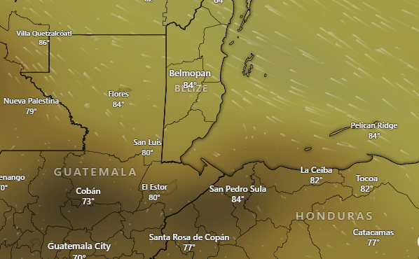
This is an image showing the concentration of carbon monoxide in the air. CO is a byproduct of combustion and indicates where the heaviest concentrations of smoke. This isn’t the smokiest day we’ve seen, but there are some fires on the mainland and some smoke in the air that is worse the closer to the mainland you are. We also have some Saharan dust in the air. The dust should get a little better by midweek, but until then, expect hazy skies instead of deep blue skies.
Speaking of annoyances, we are also dealing with sargassum. It’s kind of hard to see, but this loop shows patches of seagrass in red. The loop starts on April 24. This forecast map is put out once a week by the Mexican meteorological office, so we won’t have another forecast until Wednesday. This indicates things should get a little better by midweek, but I’m by no means an expert on seagrass forecasts.
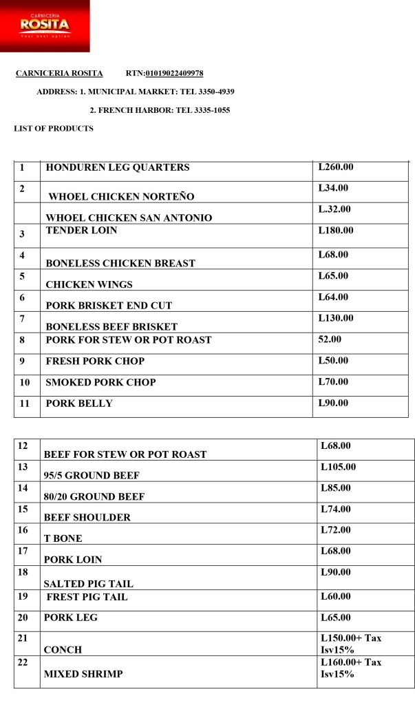
I am, however, an expert on meat. I know a great cut when I taste one and great meat is what you get at Carniceria Rosita. They are closed today, but drop by Monday through Saturday at either their French Harbor or Coxen Hole locations.
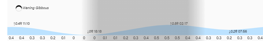
High tides are pretty low and low tide is 6:20 p.m. Have a great Sunday!
