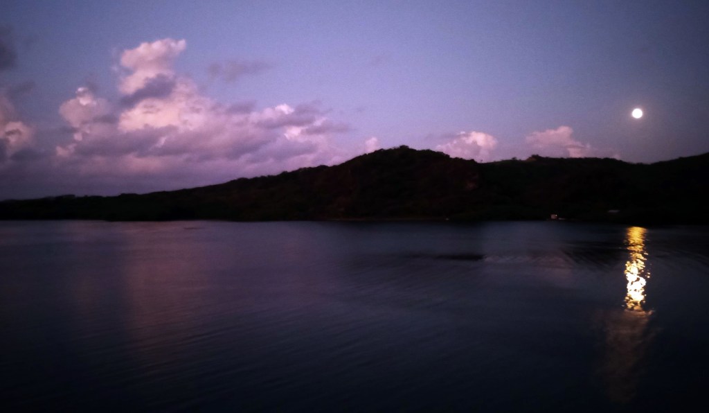
Good morning Bay Islands. Our full moon photo today was taken by Phil Sikora at Carib Bight below Juticalpa. We had a question in yesterday’s comments about the sargassum. We will take a stab at guessing when it gets less stinky.

Let’s start with our satellite photo. We see some popcorn clouds at 6:50 a.m., especially around Barbarat Island. These clouds are moving southwest. Paiz Sloane on the north side of Guanaja picked up .02 of an inch around 5:30 a.m. We will keep a small chance of a morning shower, but most of us will again stay sadly dry. Chances for morning showers will remain VERY small, around 5-10 percent until around Tuesday of next week, when we get a little more moisture and our chances go up to around 20-30 percent.
Wind and Galaxy Wave forecast: We’ve had pretty consistent 15 mph winds and 2-3 foot waves for about the past week. That will continue today and tomorrow, but tomorrow night we start getting a bit stronger east winds, especially at night. Starting Friday night we will get 25 mph east winds and Saturday night 30 mph east winds. Daytime winds will be mostly 15-20 mph from the east.
I got a question from Marty Klein in the comments yesterday about when we will get rid of the sargassum. I found a website, sargassummonitoring.com, that has a forecast map I’m showing here. Based on satellite observations, we are indeed in seagrass attack mode. It looks like it is predicting for most of it to move past the Bay Islands in two or three days, moving with the current from east to west.

Time is running out! You have until April 30 to get your 25 percent discount on tickets to La Ceiba!

Low tide is around 3 p.m. Have a great Thursday!
