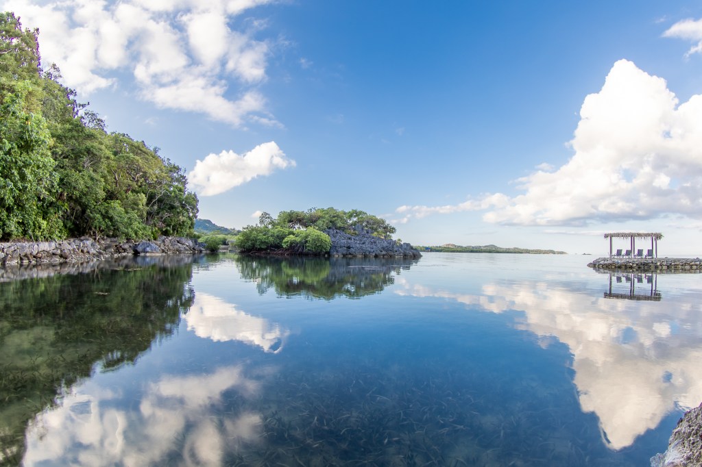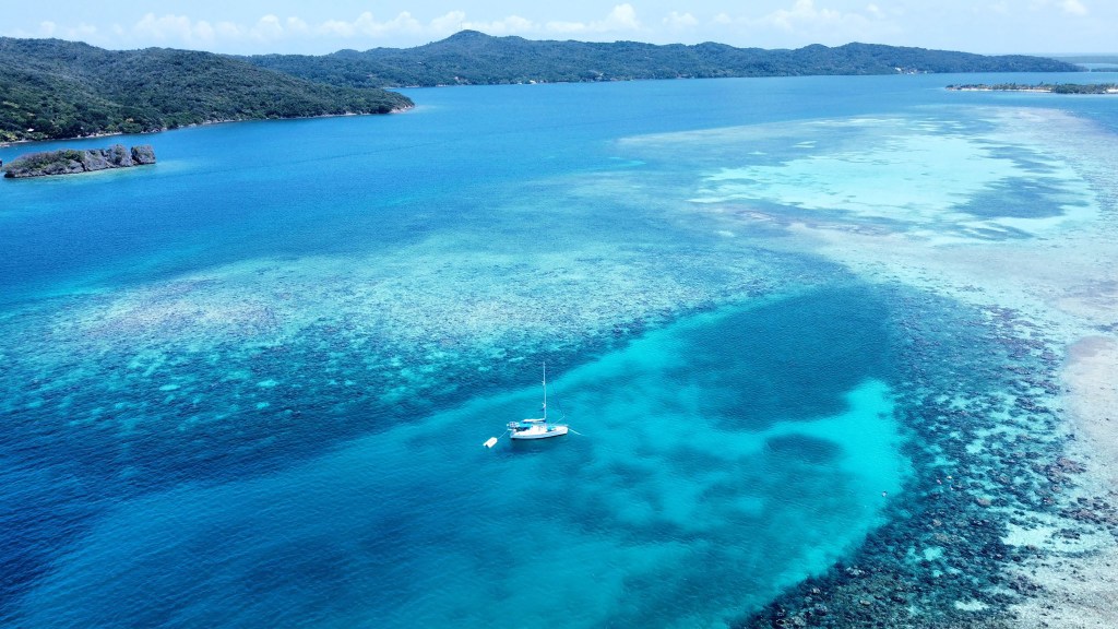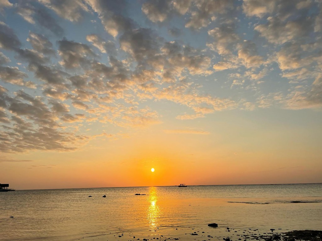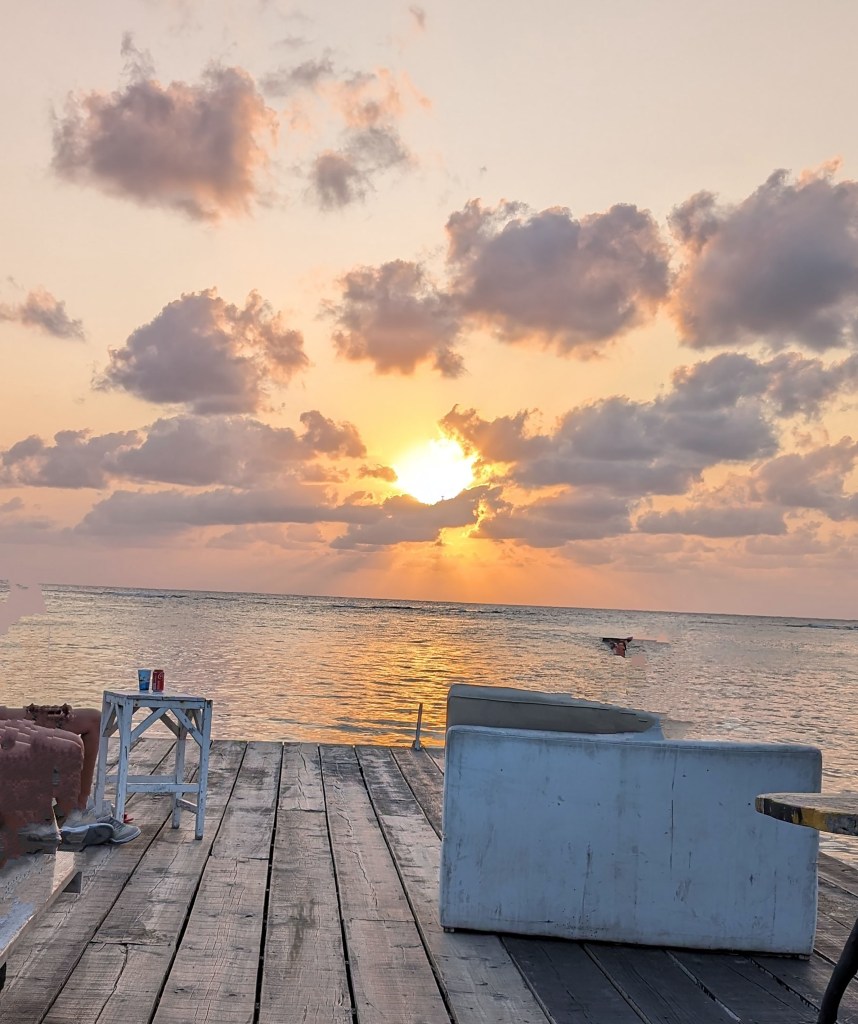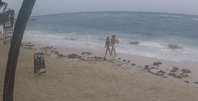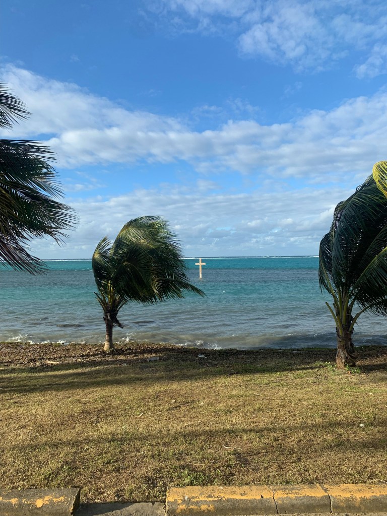
Good morning Bay Islands. Today’s photo comes from Debbie Robertson in Punta Gorda. It is appropriate because today is the celebration of the 227th anniversary of the Garifuna landing in Punta Gorda. There will be a small chance of a shower today, but mostly things should be OK, with fairly calm winds.
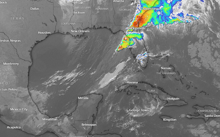
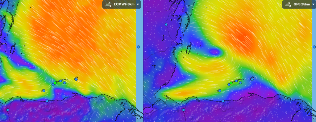
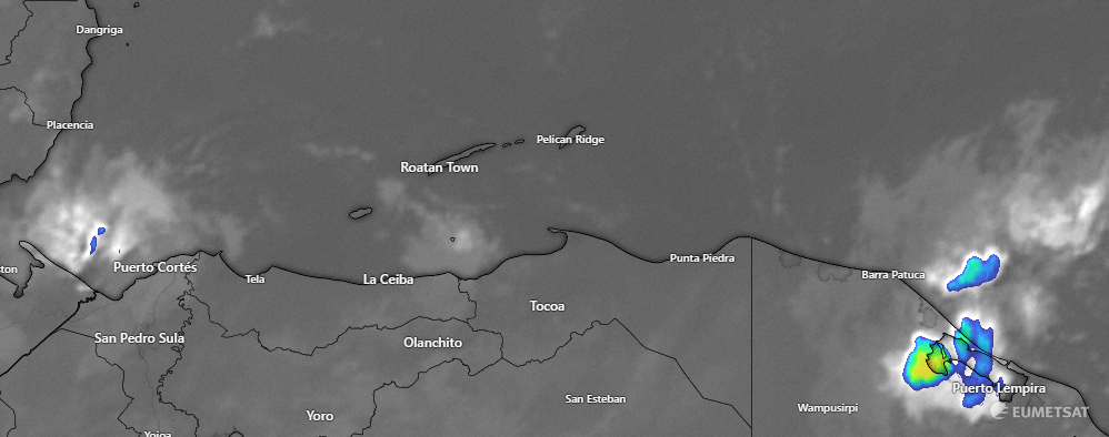
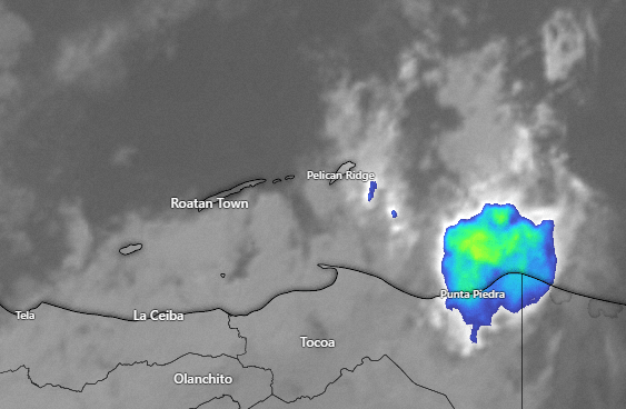
Want to see a sad video? Last night there was a nice-looking line of thundershowers entering the Caribbean and northern Belize and I had hopes we might have a round of morning showers, but you can see how these storms disappear this morning.
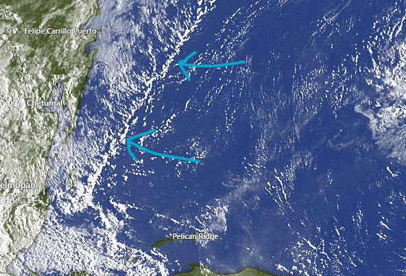
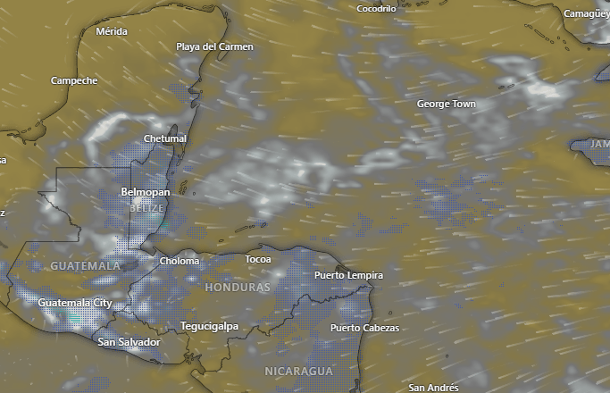
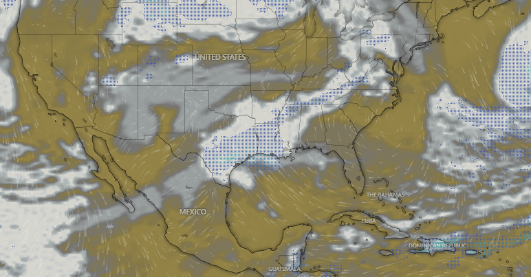
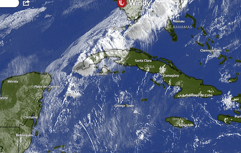
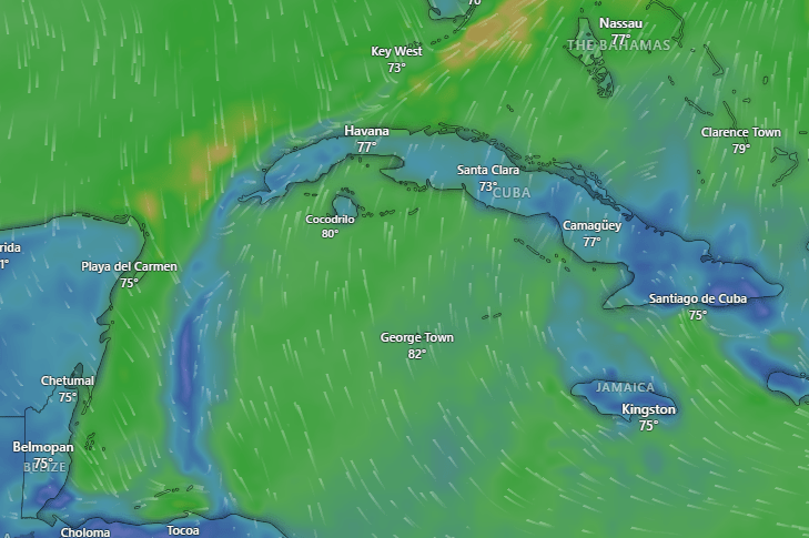
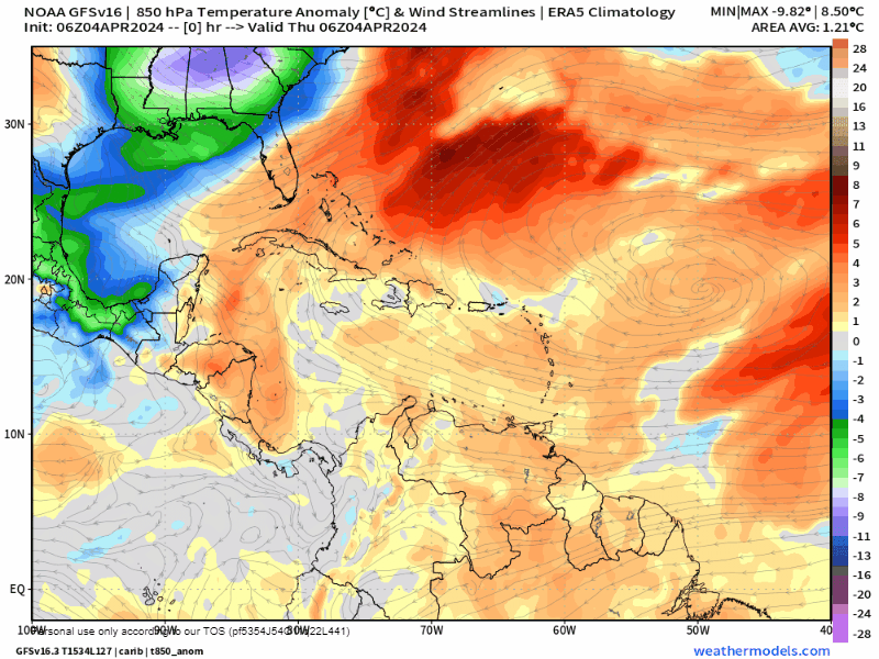
On satellite this morning we can see a very weak frontal boundary with some popcorn clouds behind it. This is drifting very slowly southeast. I sincerely hope some of these clouds make it our way, but it’s not a sure thing. We will have a 30 percent chance of rain through Sunday. I know folks in Punta Gorda don’t want a lot of rain today, but I think even they would welcome a little rain.

Saturday night is Steak Night at Ikigai by Robby Molina, and there is no more tender, juicy steak than the one put on the grill by our island’s top chef.
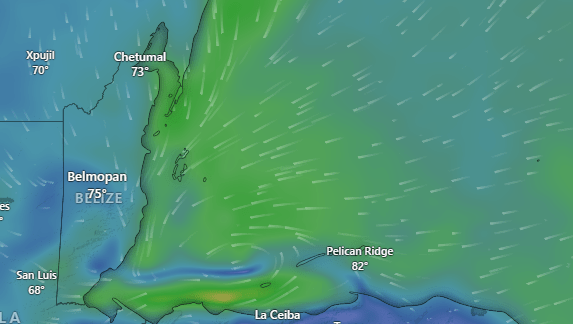
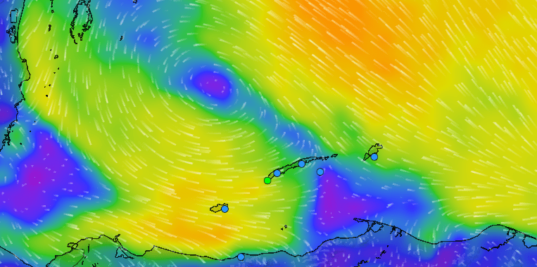
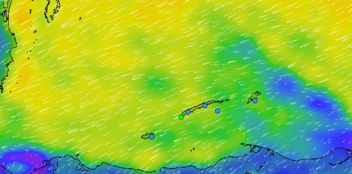
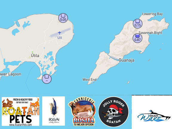
We have mostly light westerly winds, especially Utila and the west side of Roatan, due to a very small low pressure system to our northwest. We will have light and variable winds today but this evening we will switch back to light northeasterly winds. Tomorrow, because of winds to our north, we will have a little bit of surf on the north side, 2-3 feet. On Sunday we will have northeast winds 15 mph and seas around 3 feet northside.

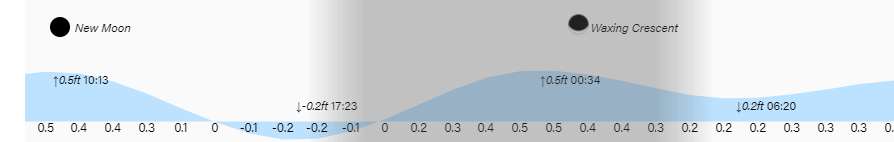
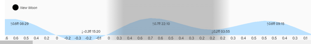
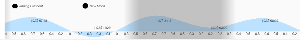
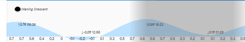
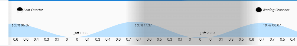
Lowest tide is around 7 p.m. Have a great Friday and hope to see you in Punta Gorda.