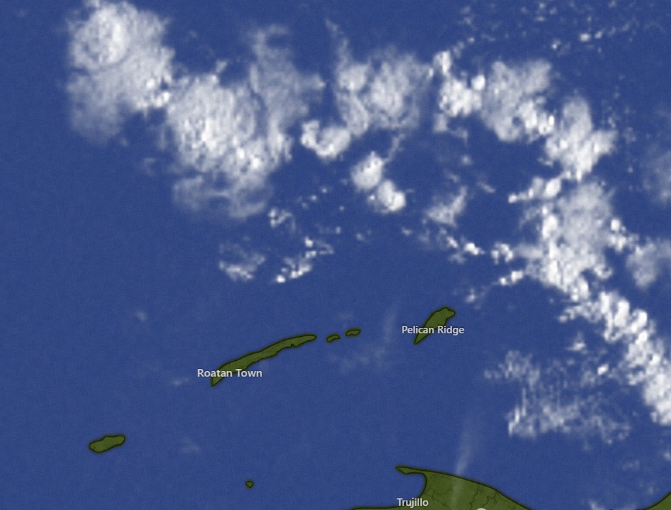
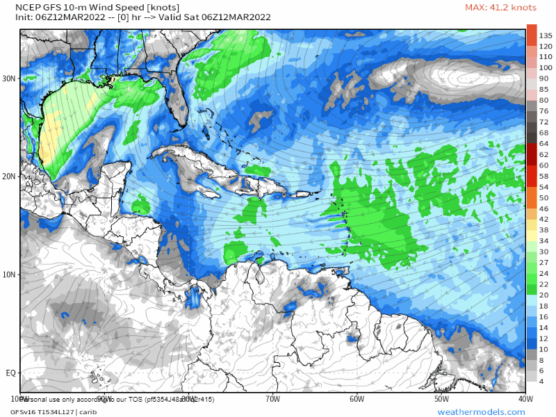
Jan. 27, 2022

Jan. 27, 2022: Good morning, Roatan! No rain the last 24 hours and we awake to mostly sunny skies.

There will be a small chance of a scattered shower this afternoon. Otherwise it will be partly cloudy with east winds around 10 mph and seas 1-2 feet (.3 to .6 meters).

Tomorrow looks nice with light and variable winds and calm seas.

Saturday our front passes through. Most of the rain will be right along the front. The timing of the front is still a little uncertain, but probably right around midday or mid-afternoon our north winds will pick up to around 20 mph and seas will kick up on the north side to 4-5 feet (1.3 to 1.6 meters).

Behind the front on Sunday morning north winds will still be around 20 mph, calming a bit during the day. Light sprinkles are always possible on the back side of a cold front, especially if low gray clouds set in.

Starting Monday and for most of the rest of the week we will be back to mostly sunny skies and east winds 15-20 mph. Have a great Thursday!

Jan. 26, 2022

Jan. 26, 2022: Good morning, Roatan! No rain in the last 24 hours islandwide.

Today we’ll have sunny skies and southeast winds 10-15 mph and seas at 2 feet (.6 meters).

Tomorrow we’ll have a small chance of a shower with partly cloudy skies and east winds at 10 mph and seas 1-2 feet (.3 to .6 meters).

Friday we will have a decent chance at a scattered shower and east winds 5-10 mph and seas 1-2 feet.

Saturday and Sunday a cold front passes through, giving us good rain chances and brisk north winds 20-25 mph and seas at 4-5 feet (1.3 to 1.6 meters) on the north side. Get ready for some cool temperatures! Have a great Wednesday!

Jan. 24, 2022

Jan. 24, 2022: Good morning, Roatan! Some of us got quite a rain yesterday. The west side of the island mostly got over an inch between yesterday morning and midday. We only picked up .13 of an inch here on Jonesville Point. A few locations picked up about a tenth of an inch in the early morning hours today as well.
This morning it is possible someone will see a shower, but it will be mostly sunny with east winds 10 mph and seas at 2 feet. This evening it will get windy, up 20 mph from the east and seas 3-4 feet (1-1.3 meters). Tomorrow we will have sunny skies, east winds 12-17 mph and seas 2-3 feet (.6 to 1 meter). This week will be mostly sunny with moderate east winds.

This weekend a front should pass through bringing rain and cooler weather for the end of January. Have a great week!

Jan. 22, 2022

Jan. 22, 2022: Good morning, Roatan! We wake up to mostly sunny skies across most of the islands. West Bay had a few early morning sprinkles but nothing measurable. Politilly got .06 of an inch around 7:15 a.m. As you can see in the satellite image, a cold front is to our north. It will stall north of us, but it will get a little closer, which should increase our rain chances as the weekend goes on.
Today we will have partly cloudy skies and a 30 percent chance of a scattered shower. Winds should be moderate and calming a bit as the day goes on, 5-10 from the east, turning to the northeast this evening and seas 2 feet this morning and 1 foot this evening. Overnight and into tomorrow morning we will have a 40 percent chance of a scattered shower and north/northeast winds 5 to 10 mph and seas at 1 foot. Monday we will have a chance of showers in the morning and winds turning back to the east at 7-12 mph and seas getting back up to 2 feet. After that next week looks pretty dry, with moderate east winds and seas in the 2 foot range. Have a great weekend!

Jan. 21, 2022

Jan. 21, 2022: Good morning, Roatan! We had plenty of clouds last night, but no rain islandwide.
This morning we awaken to clear skies and brisk east winds. As you can tell in the forecast map, a cold front in the southern US will get close but not quite make it down here, increasing our rain chances this weekend.
Today we will have mostly sunny skies and east winds 12-17 mph with 2 foot (.6 meter) seas. There will be only a small chance of a popup shower somewhere on the island.

Tonight the chances of scattered showers go up after midnight and last through Saturday and Sunday. Winds both days will be east/northeast 5-10 mph and seas at 1-2 feet (.3 to .6 meters).

Monday rain chances will be lower and winds still fairly calm, but starting Tuesday we go back to TRW (Typical Roatan Weather) with sunny days and strong east winds. There’s early indications we will get a cold front the following weekend.

Jan. 20, 2022

We picked up .06 of an inch of rain about 3 a.m. today and many locations picked up a little rain about 8 p.m. last night. We started today cool, but not as cool as recent days. We were at 71 (21.6 C) for the most part around the island.
This morning we returned to our easterly winds around 15 mph and seas at 2-3 feet (.6 to 1 meter) on the south side. We’ll have increasing clouds today and a chance of a shower before nightfall. Overnight there will be a good chance of rain around the island.

Tomorrow we will have a chance of a morning shower. Otherwise we will have mostly sunny skies, east/southeast winds at 12-17 mph and 2 foot seas.

Saturday into Sunday we will have scattered showers and mild north winds as a cool front stalls to our north.

The first part of next week looks sunny and windy.

Jan. 19, 2022

Sorry for the late post. No internet due to a downed Max line near Milton Bight. This morning we had a low around 68 degrees (20 C) but the sun finally came out and warmed us quickly to around 80 (27 C)
This evening we will see the return of the easterly breeze at 15-20 mph and seas 2-3 feet (.6 to 1 meter) especially on the south side. There will be a small chance of rain in the overnight or early morning hours tomorrow. Otherwise tomorrow will be mostly sunny with east winds 10-15 mph and seas at 2 feet (.6 meters).

Thursday and Friday we will continue with small chances of overnight showers, easterly winds 12-17 mph and seas at 2 feet.

This weekend we will have moderate rain chances as a cold front stalls to our north, bringing us mild north winds (nothing like we had this past weekend).

Jan. 18, 2022

We had a very cool day yesterday but the cloud cover kept us from reaching record lows. On Roatan we got down to 71 (21.6 C) and 68 (20 C) on Utila, not quite down to our all-time record low of 66 (18.8 C) .

Today we will have north/northeast winds at 5-10 mph and seas at 1 foot (.3 meters). Morning clouds should eventually give way to afternoon sun.

Tomorrow we will have mostly sunny skies and winds turning to the east at 10-15 mph and 1-2 foot seas.

Wednesday night into Thursday morning there will be a chance of showers, then turning mostly sunny with east/southeast winds 12-17 mph and 2 foot seas.

A cold front gets close, but likely stalls out to our north, bringing us rain chances Friday through the weekend, but also light north winds.

Jan. 17, 2022

Jan. 17, 2022: Good morning Roatan! That cold front came through on the dry side like we thought it wood. The east side caught a little rain, but not more than a tenth of an inch and the west side remained dry. But boy did that north wind blow. This morning we are waking up to five foot (1.6 meter) seas on the north side, as you can see in this picture taken near Lawson’s Rock.
Winds and clouds will diminish through the day, but overall it will still be pretty windy and wavy on the north side. There will be a chance of a few sprinkles here and there, especially in the morning. Tomorrrow winds will be much better, from the north 7-12 mph and seas down to two feet (.6 meters) on the north side. We’ll have morning clouds and evening sun. Also, with lighter winds, Tuesday morning and Wednesday morning should both be quite cool, perhaps 68-72 (20-22 C).

Wednesday looks very nice, with winds turning back to the east at 10-15 mph and seas at 1-2 feet (.3 to .6 meters).

Thursday we should see a return of moisture and a chance of rain, especially in the morning, but otherwise nice with east winds 10-15 mph and seas at 2 feet (.6 meters).

Another cold front get close for the weekend, giving us higher rain chances. Have a great Monday!

Jan. 16, 2022

Jan. 16, 2022: We’ve had a gorgeous 24 hours ending this morning. Today we will see a cold front come through, but as you can see in the satellite, the clouds are not as heavy on the front’s south end. That could definitely mean less rain for us than we normally see in a cold front. Clouds should increase through the day and winds will be 15-22 mph, first from the west, then from the northwest, meaning seas will build on the north side.

Tonight and tomorrow morning we should have strong north winds in the 20 mph range, giving us seas around 4 feet (1.3 meters) on the north side. Tomorrow should be mostly cloudy and cool with a chance of light rain showers. Tuesday morning will start off cloudy and quite cool. This is the morning I have my eyes open for some readings in the upper 60s (19 or 20 C). Winds will be much calmer, from the east, northeast at 10 mph. Seas will be in the 1 to 2 foot range (.3 to .6 meters) both Tuesday and Wednesday.

Rain chances increase Thursday into the weekend.