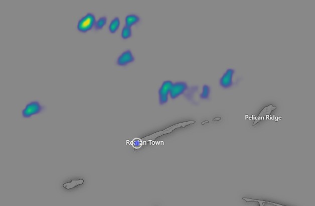
Jan. 12, 2023: Good morning, Roatan! Rain totals were pretty low yesterday on the west side and in Utila, with only about a quarter of an inch, but the total got higher the further east you went, with Punta Blanca picking up 1.19 inches. Overnight most of us were dry, though Sandy Bay got about a quarter of an inch around 4:30 a.m.
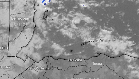
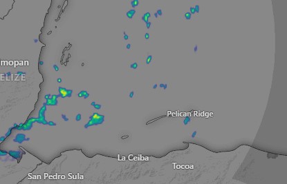
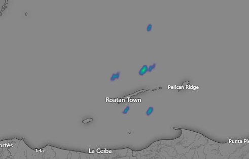
This morning we are mostly clear, though there are some clouds to our east as of 7 a.m. so a morning shower is possible, but otherwise we will be partly cloudy with an east wind 10-15 mph and seas at 2 feet (.6 meters).
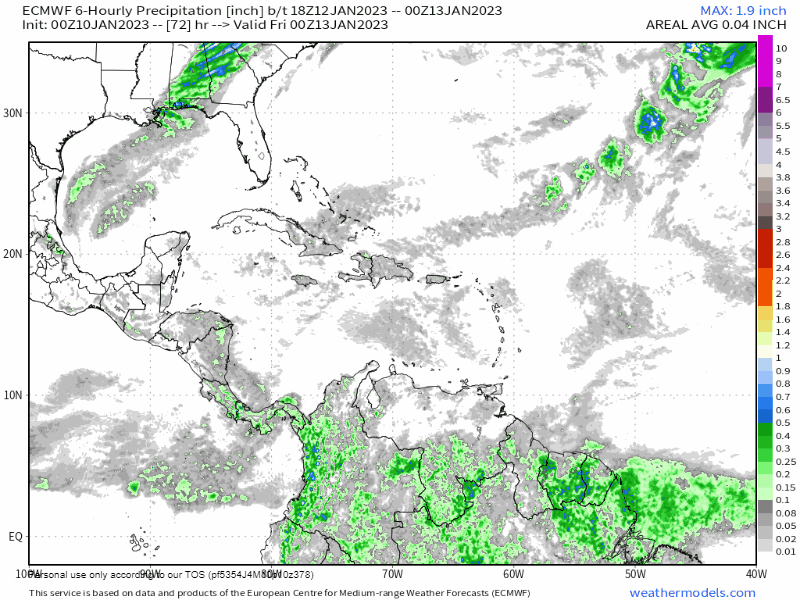
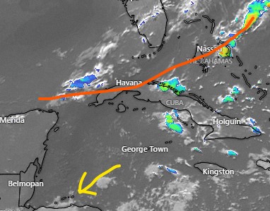
After midnight and through the day tomorrow we will have scattered showers as our front approaches. Winds will turn to the north around 10 mph. Seas will be fairly calm at 1-2 feet (.3 to .6 meters). Rain continues through Friday night and there is a good chance of heavy rain Saturday morning. Winds will be gusting to 30 mph from the north, giving us seas around 6 feet (2 meters), especially on the north side and 4 feet at Ceiba. By Saturday evening winds and rain should be less. Sunday might be one of the nicest days we’ve had in a couple of years, if you like cool weather.
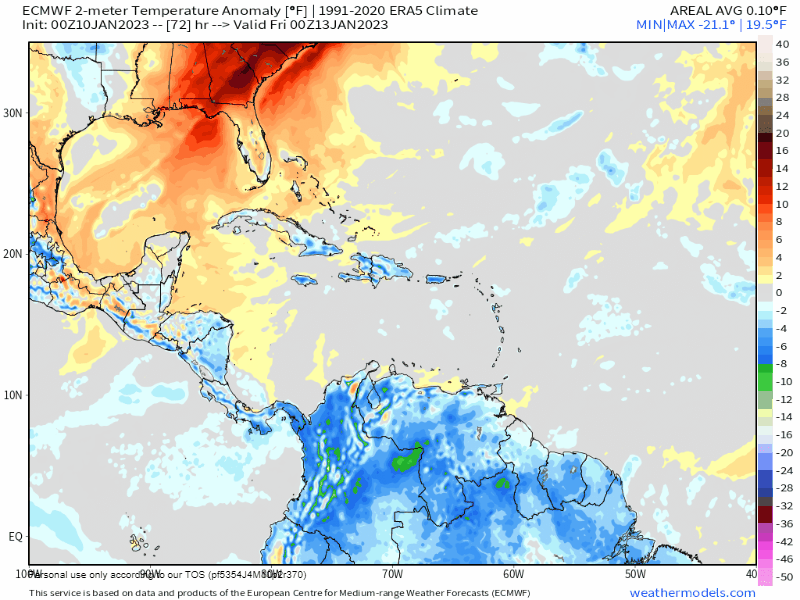
The map above shows dry air in blue and brown washing over the island. Saturday, not only will it feel cool, the air will feel dry, with dewpoints around 60 degrees (15 celsius). We are so used to humid air here, we almost forget what dry air feels like, but we will feel it Sunday, and perhaps into Monday morning.
Starting Sunday we will start a week with dry conditions. Our easterly trade winds will return starting Monday, 15-20 mph and seas 3-4 feet (1-1.3 meters) for the first half of the week and perhaps even gustier winds for the latter half of the week. Have a great Thursday!