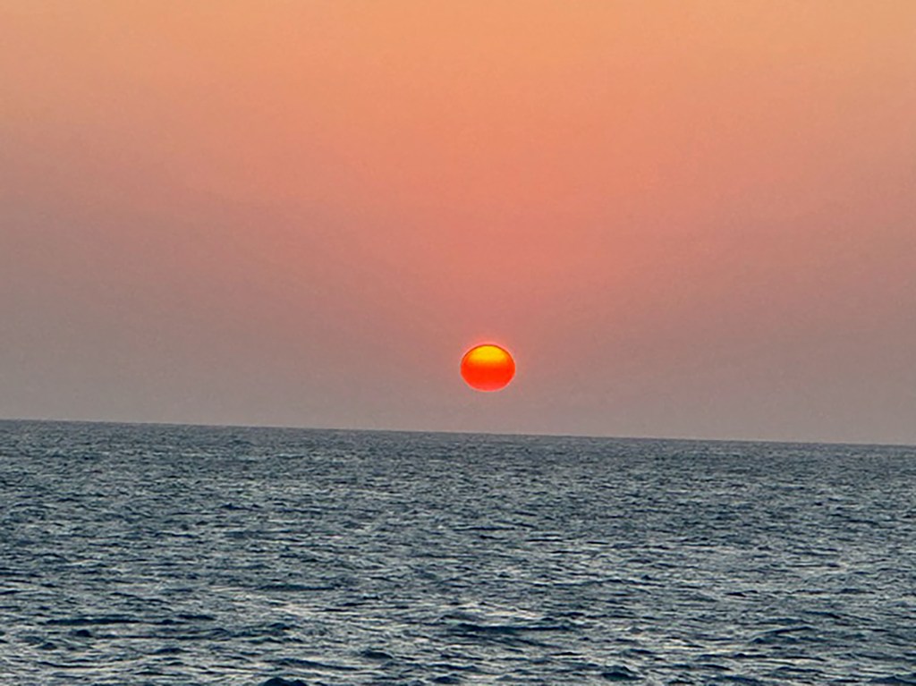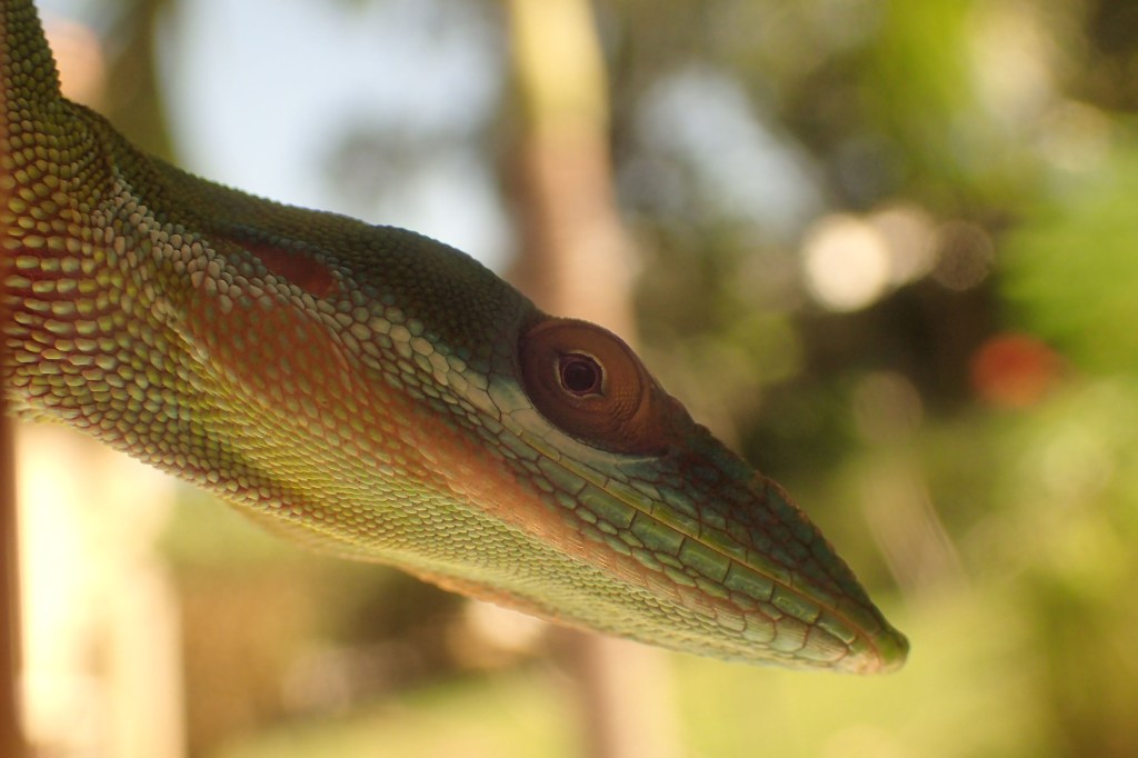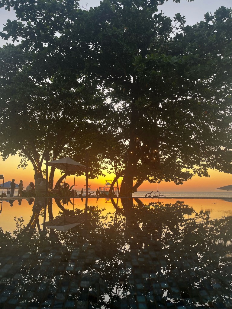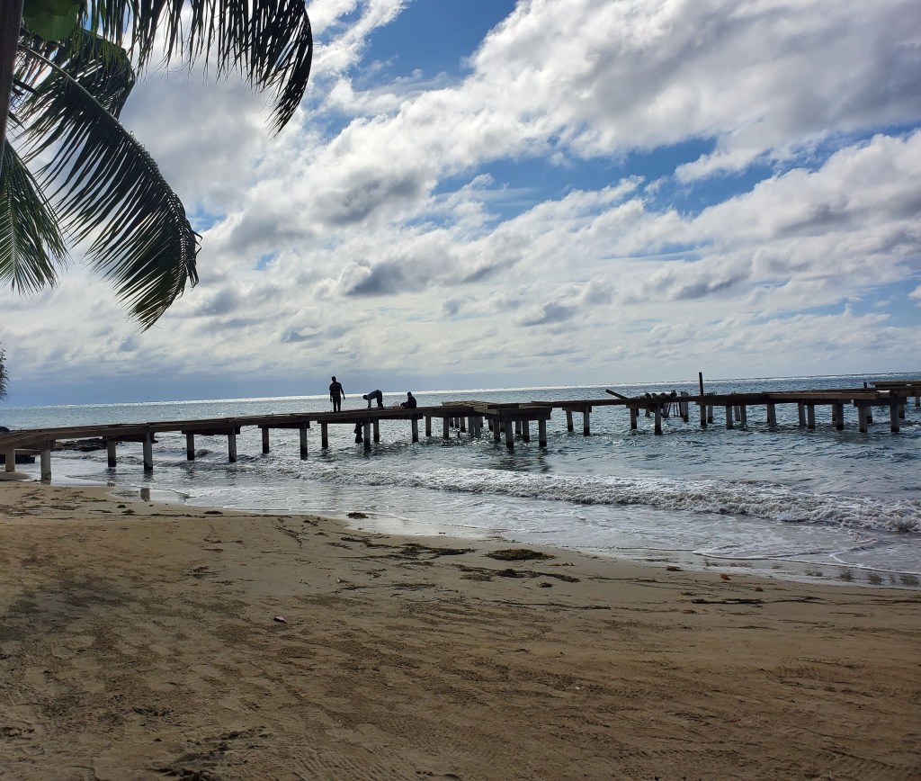
ood morning Bay Islands. Our photo of the day comes from Phil Sikora and shows the sunset over Maya Key from Coxen Hole. I picked this photo because this week we will see a few more clouds than last week. But the big headline is winds will be calmer.
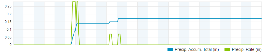
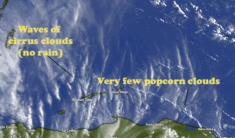
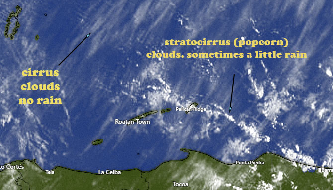
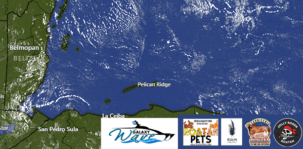
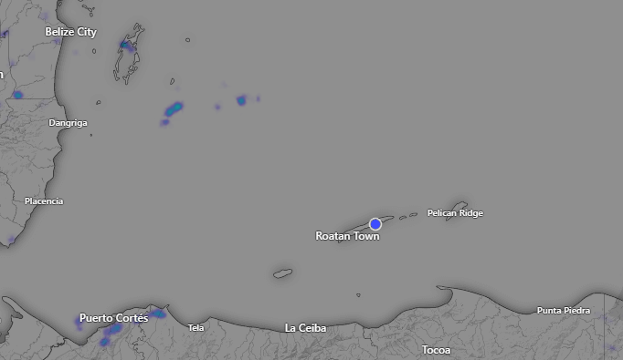
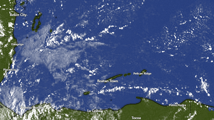
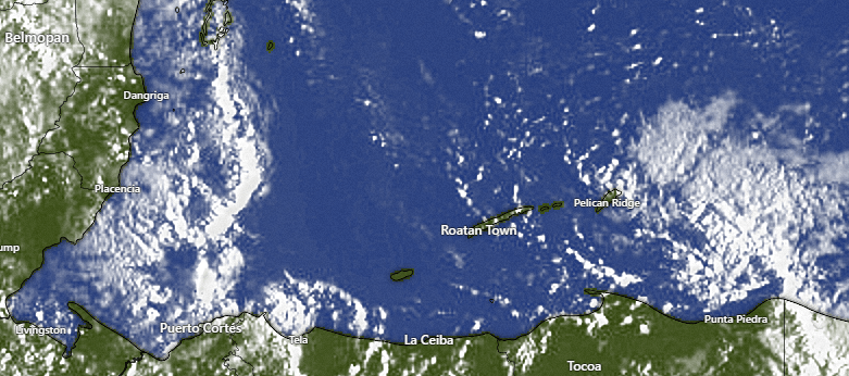
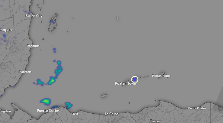
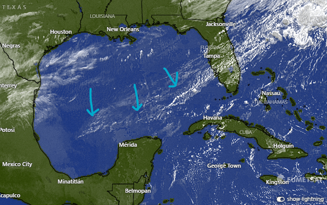
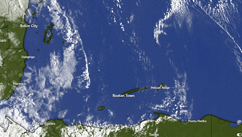
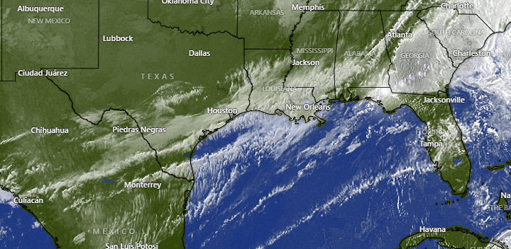
On our satellite view we can see a very weak cold front moving into the Gulf of Mexico. By this time of year, whatever arrives down here can’t be called a cold front, but it will be a few more clouds, starting this evening and lasting through most of the week. This should cool us down a couple of degrees. Our high yesterday at the airport was 88 (31.1C). So starting this evening into Thursday we should be more like 84-86 for highs (28.9-30C). Starting tomorrow and especially Wednesday and Thursday morning, I expect A FEW popcorn clouds around and someone getting a small shower, at least enough to wet down all the dust, but most of us probably won’t see a shower.
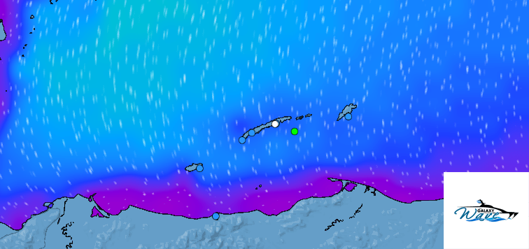
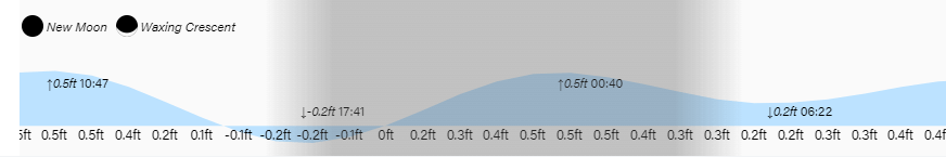
Wind and wave forecast: If there was ever a week for a Galaxy Wave ferry ride, this will be it. We start the day with winds already calming at 7 a.m. to 15 mph from the southeast and seas at 3 feet on the south side. We will have southeast winds 10 mph and seas 2-3 feet for the middle part of the day, but the real change comes tonight when winds stay around 15 mph overnight, whereas previous nights we’ve been getting up to 25-30 mph. Tomorrow we will have east winds 10-15 mph before they turn to the northeast in the evening. Wednesday looks quite calm with light and variable winds and seas at 1 foot even on the south side.
With such a great week with calmer winds, you definitely need to check out Jolly Roger Roatan if you’re planning an excursion, either for an island visit by air or on a cruise. You just concentrate on having fun and they will take care of the rest.
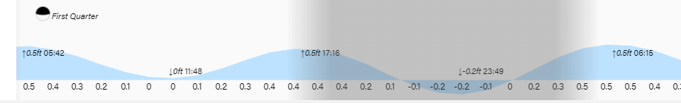
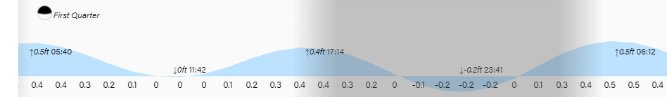
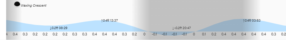
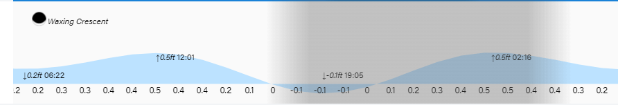
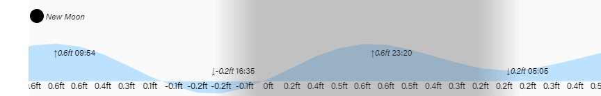
Low tides are close to noon and midnight. Have a great week!