June 3, 2026

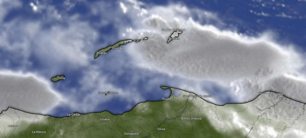
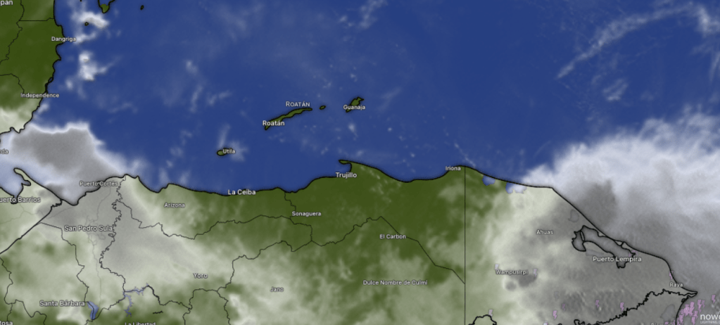
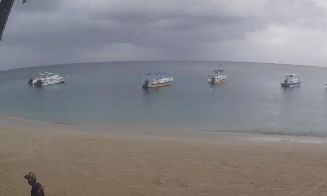
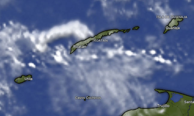
Good morning Bay Islands. At 9 a.m. we likely don’t have rain anywhere in the southern Caribbean, only some high clouds that aren’t going to keep our temperature away from 90 (32C). We will continue to have strong east winds and seas around 4 feet Southside.

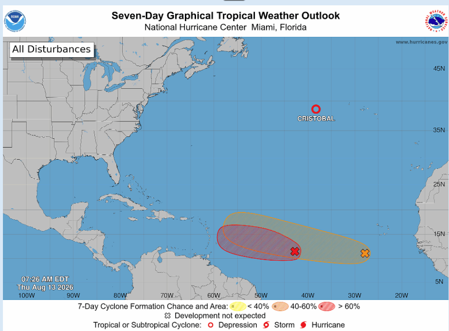
Here’s the NOAA NWS National Hurricane Center outlook for the next week in the eastern Pacific. You will notice a 40 to 60 percent chance of a tropical cyclone forming off the southern coast of mainland Honduras. This is where storms often form this time of year and bring rain to the Pacific Coast, not our coast.


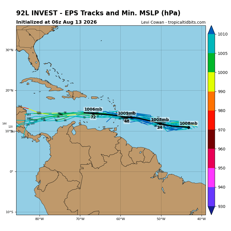
Here is the Euro forecast for moisture in the upper atmosphere. Currently we are in the dry yellow, and over the next few day we will get into the even dryer greens, so very little chance of rain this week. As we get into next week we will see an increase in moisture and better chances of June squalls. You will also note that at the end of this loop, something that looks like a tropical cyclone forms in the Gulf that lies between the US and Mexico. This is another area that often gets June tropical development. Right now, nothing in the short- or long-range forecast threatening our islands, but we’ll keep an eye on it. Have a great Wednesday!


May 31, 2026

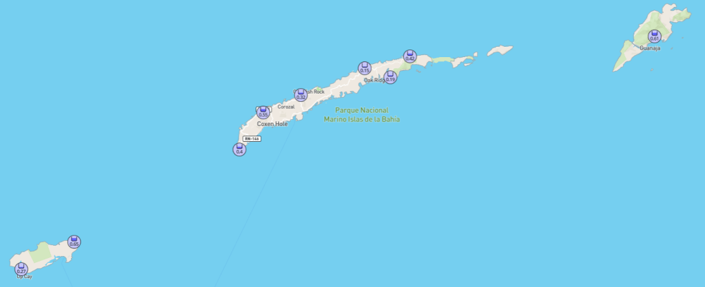
Good morning Bay Islands. Our photo of the day comes from Brad Ryon in Utila. Our surf on the Southside is back to 3 feet after a couple of days of a bit calmer winds. We start the day with east winds 15 mph and seas 3 feet. We will stay right around there today, with winds tonight around 20 mph and seas 4 feet. That cycle will continue for the next few days.

Like most mornings recently, there is rain on the satellite. This time it is well to our east and won’t make it here. We should remain partly cloudy and in the days ahead we will keep very small morning rain chances.

We aren’t too far away from World Cup season. Time to start planning your cookouts with Carniceria Rosita‘s fresh meats!

Low tide is 2:40 p.m. Have a great Sunday!


May 27, 2026

Good morning Bay Islands. at 7:45 a.m. we have a storm about 50 miles east of Guanaja, but it is nearly stationary, so I don’t expect it to move our way. We’re still seeing increasing clouds, but rain is unlikely today. We have a little better chance tomorrow morning, maybe 30 percent. Friday through Sunday is our best chance of rain. Tomorrow morning winds should be calmer at 15 mph, though afternoon winds will get back up to 20-25 mph. Friday morning a little calmer still at 10-15 mph and 15-20 mph in the afternoon. Much calmer conditions for the weekend, though seas will still be 2-3 feet. Have a great Wednesday!

May 26, 2026

Good morning Bay Islands. Our photo of the day comes from Jim Kaltenbacher, who captured this sun halo. Halos like this are caused by ice crystals in high cirrus clouds, such as what we are experiencing now. There are some cumulus clouds to our northeast this morning, but they are moving away from us. But we have calmer weather and rain chances in the forecast.

If there are any swans on Swan Island, they got wet this morning, as a thunderstorm moved over the island, but that storm is moving away from us and we have partly cloudy to mostly cloudy skies. We will keep high clouds around but should stay dry today and tomorrow, with east winds still around 15-20 mph daytimes and 22-27 mph nighttimes will keep our seas around 4 feet.
Thursday we get a bit calmer around 12-17 mph winds and 3 foot seas and our first, small chance at a morning shower. Rain chances are better Friday and Saturday mornings, and winds should be calmer, 5-10 mph and will be from variable directions, but swell (winds out to sea causing waves) will keep our waves around 3 feet Friday and Saturday. We’re not looking for a lot of rain and some of us may miss out completely, but there will be more clouds and rain in the area Friday and Saturday. Starting Sunday our rain chances go down, but east winds stay manageable, around 15 mph.

Book your next event (wedding, graduation party, anniversary celebration) on a luxurious catamaran and island outing from Jolly Roger Roatan.

Low tide is around noon. Have a great Tuesday!


May 24, 2026

Good morning Bay Islands. This morning’s satellite (9 a.m.) showed something we haven’t seen in awhile, heavy clouds and a little rain. Unfortunately it was over toward Livingston, Guatemala and Punta Gorda, Belize, but it was close enough to throw some high clouds our way. We will still stay dry through Wednesday morning, but high clouds should increase which should cool us down a couple of degrees (we’re talking highs of 86 instead of 89). Rain chances come perhaps as soon as Wednesday evening.

This forecast from the GFS shows more rain in our area from Wednesday evening into the weekend. The totals aren’t a lot (probably no more than half an inch) but anything will be welcomed and all of it should knock our temperature back another couple of degrees. This will be accompanied by calmer winds and seas Friday into the first part of next week. The GFS goes a little crazy at the end, trying to send a tropical wave over Cuba into Florida. The GFS tends to exaggerate the potential for tropical development, but it is a reminder that Hurricane Season starts June 1.

Explore Roatan real estate with the island’s top experts at Roatan Life Real Estate. Serving clients since 2001, we offer personalized guidance in buying and selling properties. Trust our dedicated team for unparalleled local knowledge. Start your journey at www.roatanlife.com

Low tide is 10:45 a.m. Have a great Sunday!


May 22, 2026

Good morning Bay Islands. We’ve been talking for awhile about a potential change in our weather for next week. This is the GFS (American model) forecast for Monday at 10 a.m. and you will see more high clouds than we’ve been experiencing. Starting Monday and into next week we should see more clouds, especially high in the atmosphere. This probably won’t mean much rain, but we will start seeing small morning chances of showers. The clouds will also bring welcome relief from the heat. East winds will stay strong probably until next Thursday or Friday. We will be clear and dry today through the weekend with strong east winds and seas 3-5 feet Southside.

This is our air quality this morning. It’s very similar to what we’ve been seeing previous days. Hopefully next week with more clouds and maybe some showers on the mainland, we will see this continue to improve and we will stop paying attention to the fire weather.

We are deep into the NBA playoffs, an exciting time for Knicks, Cavs, Thunder and Spurs fans. Don’t forget to get the best meats for your next basketball cookout at Carniceria Rosita in Coxen Hole or French Harbour.

Low tide is 8:45 a.m. Have a great Friday!


May 19, 2026

Good morning Bay Islands. Our photo of the day comes from Larry Cox in West Bay.
We will be windy, windy, windy and sunny, sunny, sunny. But we do have hope for a change toward the end of the month.

Let me start with the fire map, and for the first time since fire season started, the map is picking up on some fires this morning toward Diamond Rock.

This map shows moisture in the atmosphere. Currently we are in the dry greens and yellows, but toward the end of the month/ first of June, we see moisture (red and purple) returning. This should mean more clouds, a few morning showers and less wind. That would be a nice change.

Set the scene for your forever 💍🌊
Celebrate your love with a private, beautifully styled engagement experience aboard our catamaran, ocean views, intimate moments, and memories you’ll never forget ✨
Let us help you plan the perfect “YES” 💫
Book now: http://www.jollyrogerroatan.com
WhatsApp: +1 561 451 5377

Lowest tide is 5:30 p.m. have a great Tuesday!

May 8, 2026

Good evening Bay Islands. I wanted to do an afternoon post today to talk about the differences in morning and evening air quality during fire season. First, let’s look at air quality, which is actually in the “good” range on the Mosquito Coast for the first time in awhile. Yesterday I posted the forecast wind map that showed that during the midday and evening our wind came from due east, but overnight our wind came from the southeast and any smoke from Mosquitia would move in. Let’s take a look today at the difference between fire intensity in the mornings and evenings.

This is the satellite based fire map from this afternoon around 3 p.m. You can’t help but think it looks like a teenager with a bad case of acne, with fires dotted all over the place.

Here is this morning’s fire map, with many fewer fires. This makes sense, since many farmers put fires out at the end of the day … if they can.

We will continue to have clear skies, dry conditions and strong east winds (20 mph daytimes with 3-4 foot seas, 30 mph nighttimes with 4-5 foot seas) through Monday. Starting Tuesday we will see somewhat calmer winds (15 mph and 2-3 foot seas day and night) and A FEW more clouds and maybe one or two stray showers here or there if we are fortunate.

Lowest tides will be 8:30 p.m. and 9:30 a.m. Have a great Friday evening!

May 6, 2026

Good morning Bay Islands. Our photo of the day comes from Jordan Byrne in West Bay. As you probably know, moons aren’t supposed to orange. At least our moon isn’t supposed to be. It is this color because of all the smoke in the atmosphere.

Our air quality numbers are similar to yesterday’s, though the fires closer to Teguc seem a little better.

Keep a close eye on these fire hotspots in eastern Colon department. They would be the source of our smoke if they get worse. I’m still hopeful we will avoid a fire season as bad as last year’s, when at times the airport had to close. But we have a dry and windy two weeks ahead with east winds 20 to sometimes 30 mph and seas 3-4 sometimes 5 feet.

Tides are quite mild. Have a great Wednesday!

April 26, 2026

Good morning Bay Islands. Our photo of the day comes from Fran Cruz taken from Las Palmas looking toward the airport. Like in this photo we have some high, hazy clouds, and speaking of haze

The latest air quality numbers are not terrible, especially for northern Honduras, but they are worse than last week, and we are starting a very dry period of weather. There is very little if any rain in the forecast for the next two weeks, and our trade winds are picking up out of the east. (for the next week we will have 15 mph daytime east winds with 3 foot seas and 15-20 mph nighttime east winds and 4 foot seas.) I’ll keep an eye especially on Mosquitia on the northeast coast, because that is where our smoke comes from, but over the next two weeks we should keep on the watch for increasing smoke. Have a great Sunday!