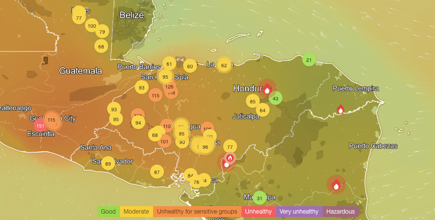
Good evening Bay Islands. I wanted to do an afternoon post today to talk about the differences in morning and evening air quality during fire season. First, let’s look at air quality, which is actually in the “good” range on the Mosquito Coast for the first time in awhile. Yesterday I posted the forecast wind map that showed that during the midday and evening our wind came from due east, but overnight our wind came from the southeast and any smoke from Mosquitia would move in. Let’s take a look today at the difference between fire intensity in the mornings and evenings.
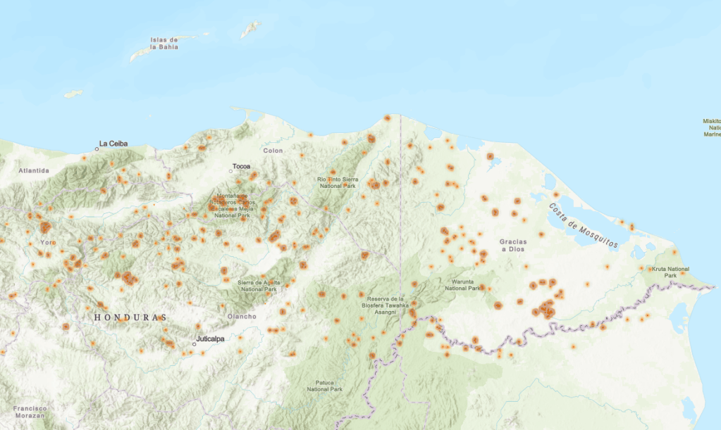
This is the satellite based fire map from this afternoon around 3 p.m. You can’t help but think it looks like a teenager with a bad case of acne, with fires dotted all over the place.
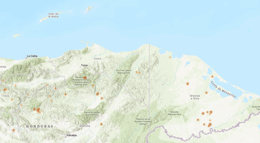
Here is this morning’s fire map, with many fewer fires. This makes sense, since many farmers put fires out at the end of the day … if they can.
We will continue to have clear skies, dry conditions and strong east winds (20 mph daytimes with 3-4 foot seas, 30 mph nighttimes with 4-5 foot seas) through Monday. Starting Tuesday we will see somewhat calmer winds (15 mph and 2-3 foot seas day and night) and A FEW more clouds and maybe one or two stray showers here or there if we are fortunate.

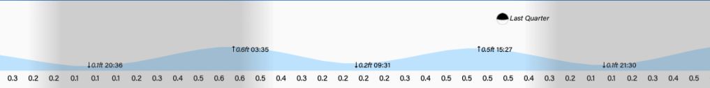
Lowest tides will be 8:30 p.m. and 9:30 a.m. Have a great Friday evening!
