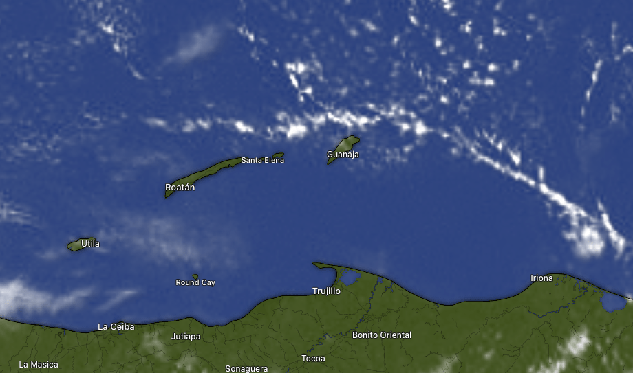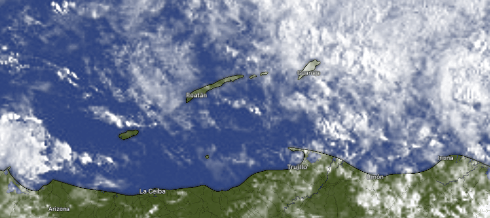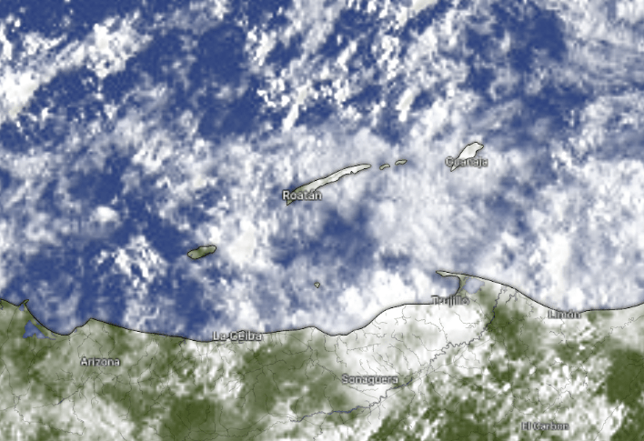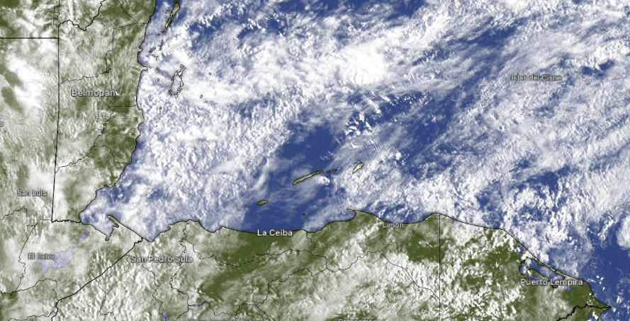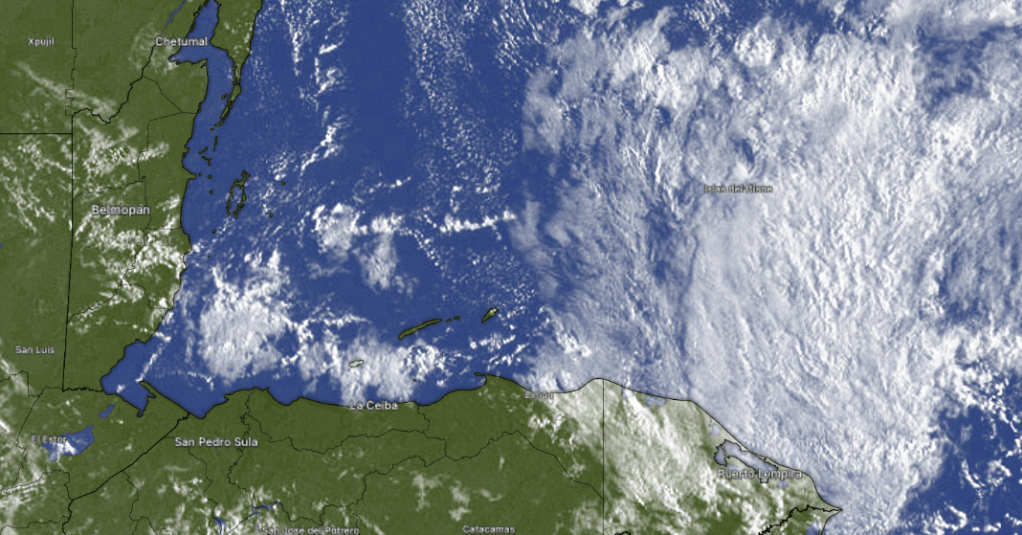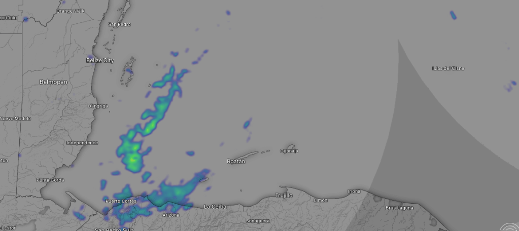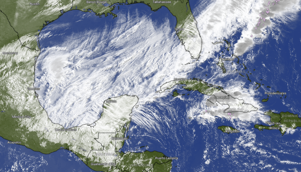
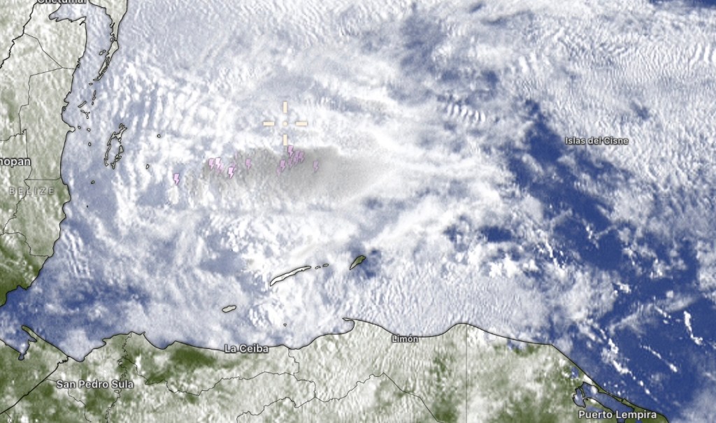
At 6:45 a.m. we see quite a few clouds. The heaviest shower is to our north with some thunder. Fortunately the worst of it is moving away from us. Rain and clouds should decrease as the day goes on, but we will still have a shower here or there today. Rain chances increase again tonight. There will be another chance of morning showers tomorrow, but the weekend looks drier and sunnier.
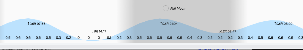
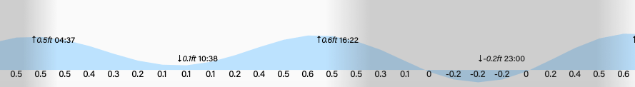
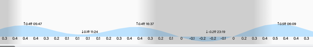
Wind and wave forecast: We start the day with southeast winds 10 mph and seas 3 feet. Winds should turn more easterly as the day goes on 10-15 mph and seas remain 3 feet. Tonight winds pick up to 15-20 mph and seas 4 feet. These conditions will last through the weekend, with calmer winds early next week.
Wind and wave forecast: We start the day with southeast winds 10 mph and seas 3 feet. Winds should turn more easterly as the day goes on 10-15 mph and seas remain 3 feet. Tonight winds pick up to 15-20 mph and seas 4 feet. These conditions will last through the weekend, with calmer winds early next week.
https://www.jw.org/en/jehovahs-witnesses/memorial/
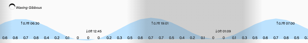
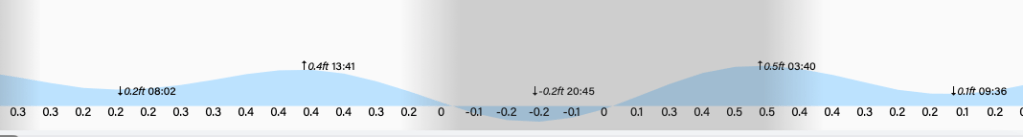
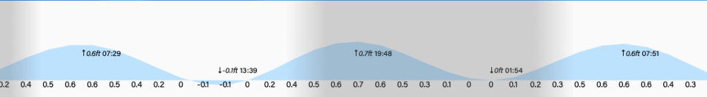
Low tide is 2:50 p.m. and tonight is full Passover moon. Have a great Thursday!