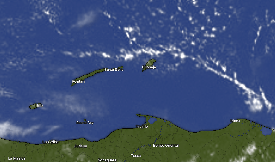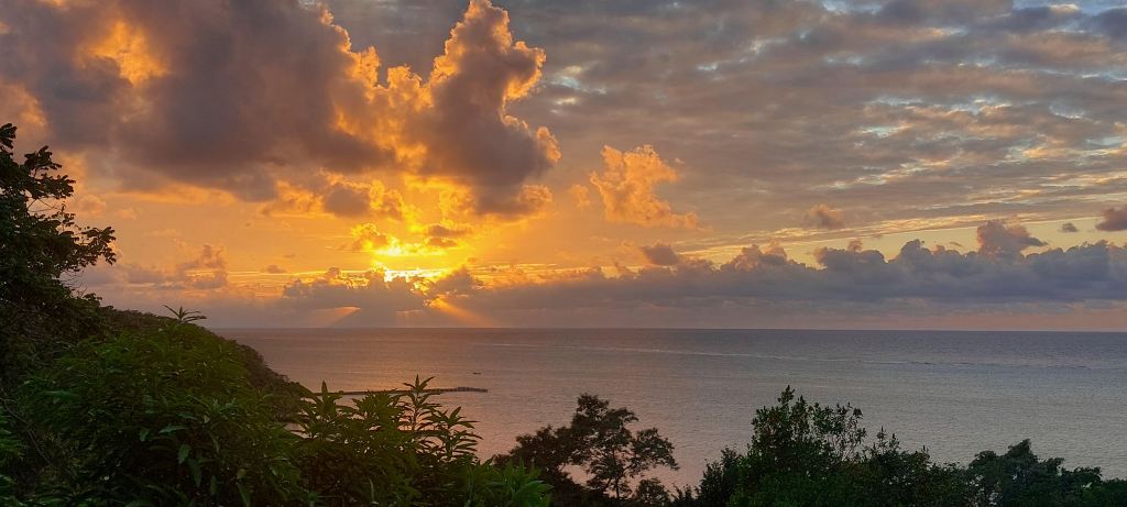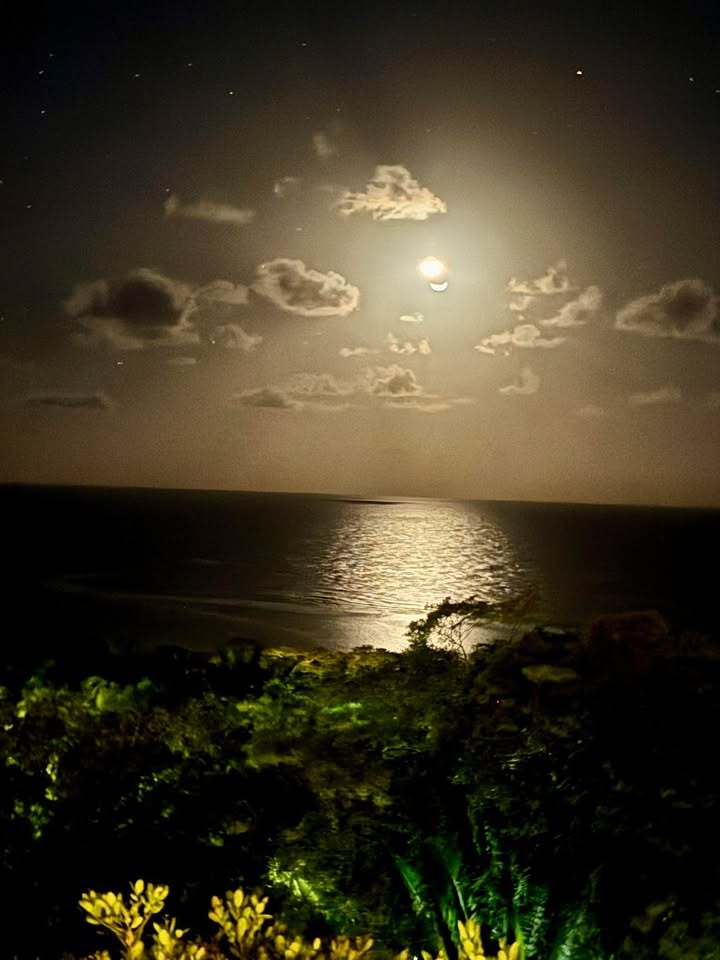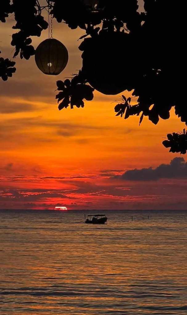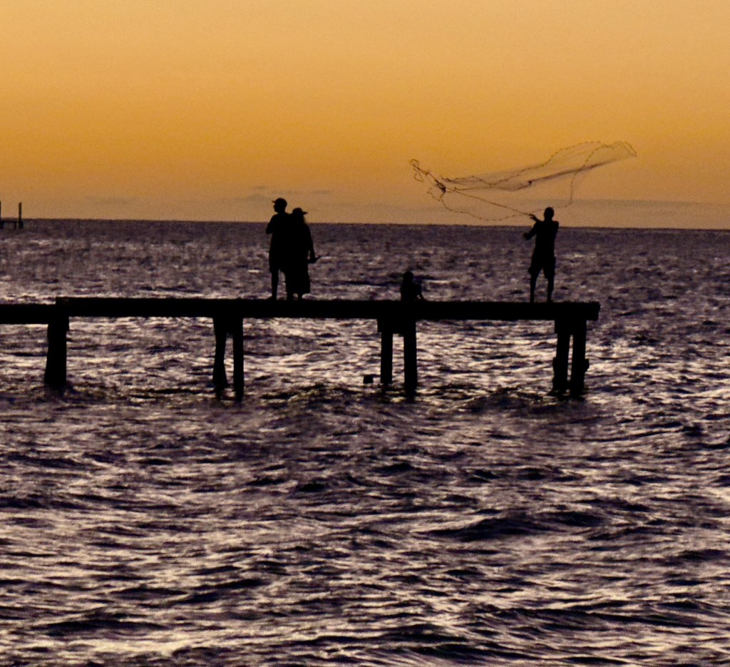
Good morning Bay Islands. Our photo of the day comes from Dalton McCoole and shows net fishing near Camp Bay Beach.
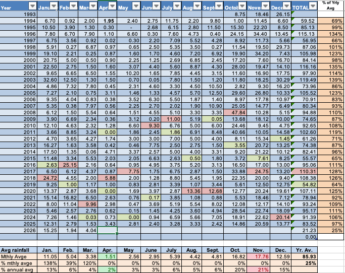
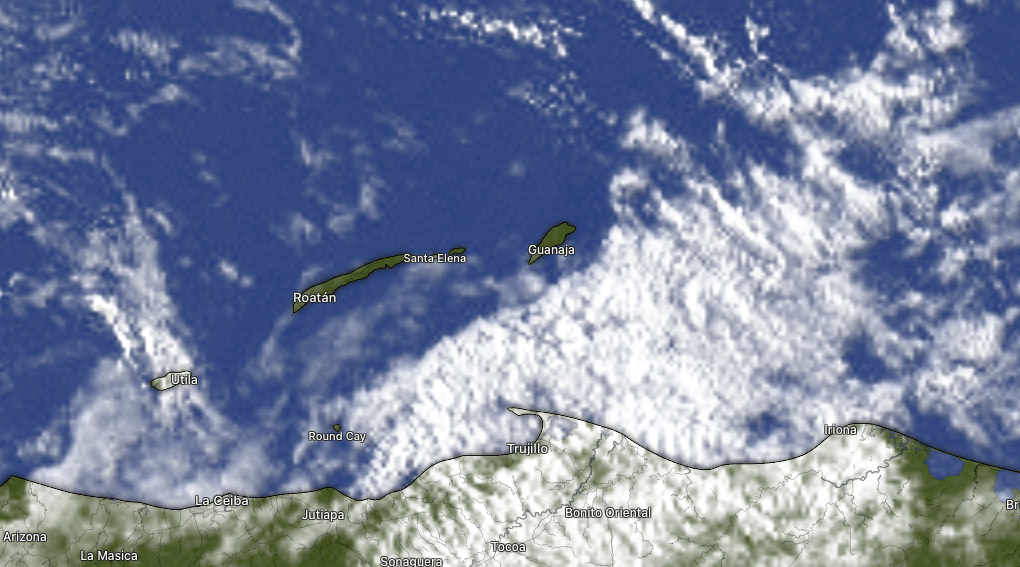
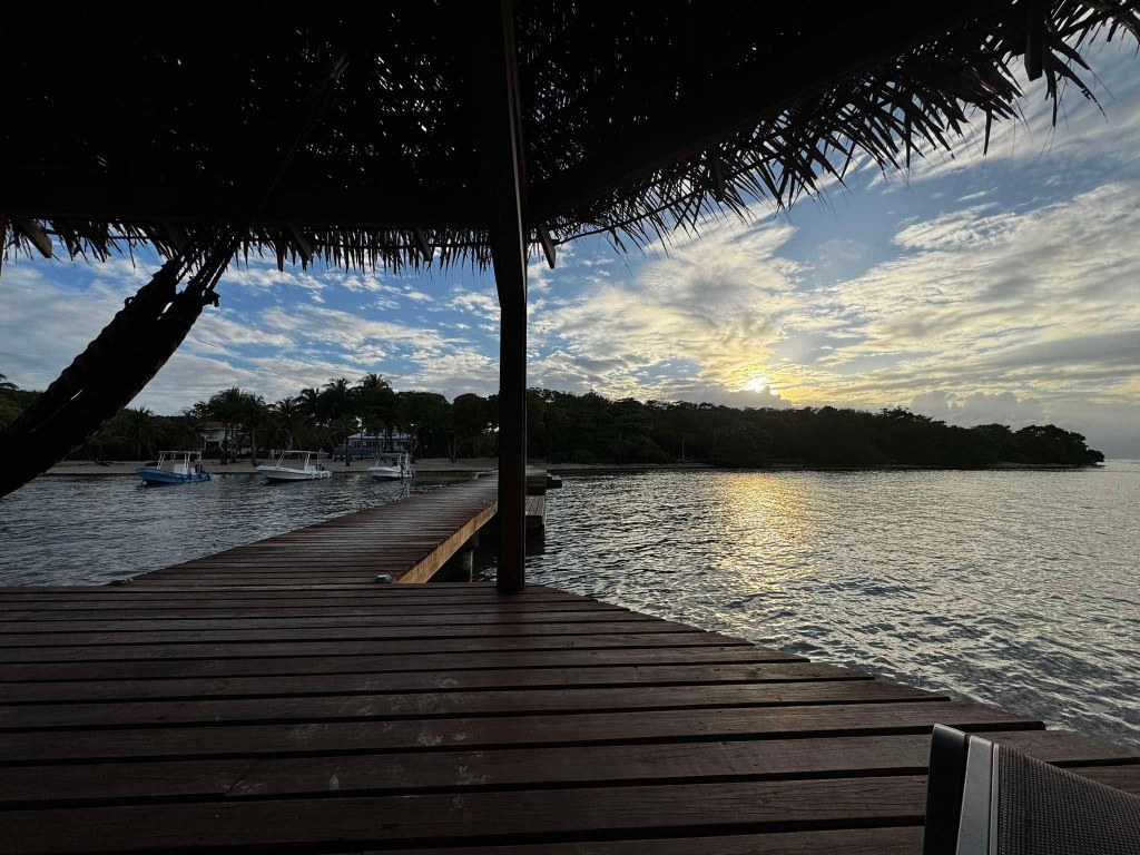
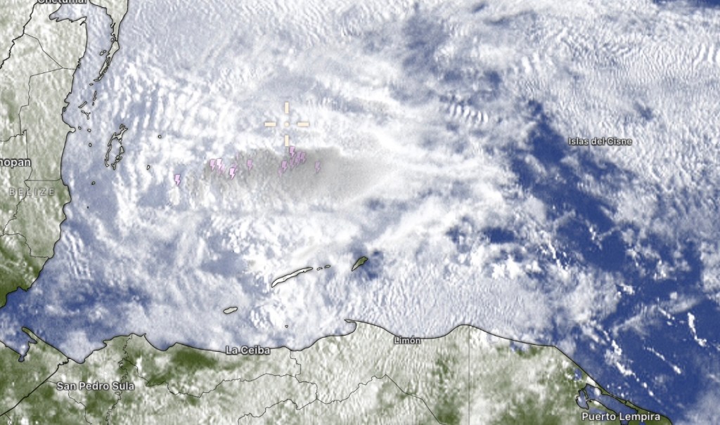
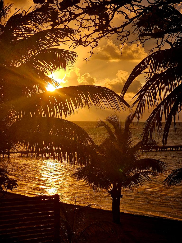
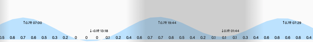
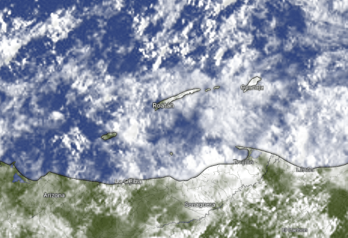
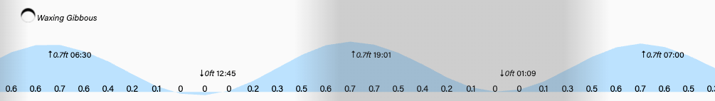
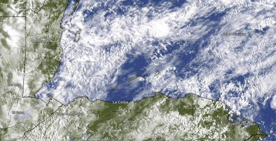
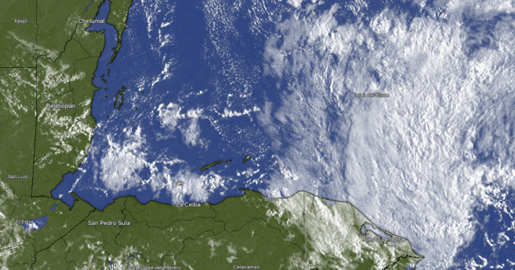
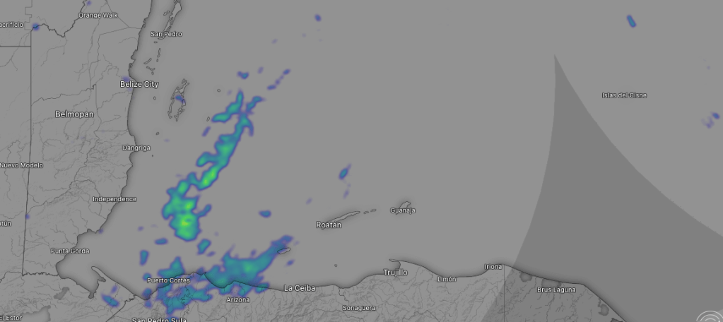
Our skies are mostly clear and the main story is going to be calmer winds, starting today around 10 mph and turning to the northeast with 2 foot seas and getting even calmer tomorrow and Wednesday at about 5 mph and 1 foot seas with very little chance of any rain. Winds turn back to the east starting Thursday into the weekend, but even then, it won’t be too bad, with 10-15 mph east winds. Have a great week!
Explore Roatan real estate with the island’s top experts at Roatan Life Real Estate. Serving clients since 2001, we offer personalized guidance in buying and selling properties. Trust our dedicated team for unparalleled local knowledge. Start your journey at http://www.roatanlife.com