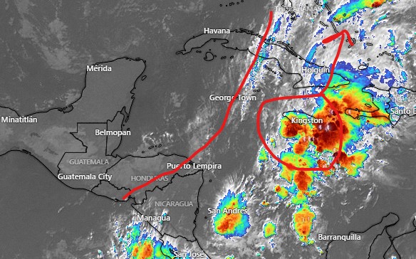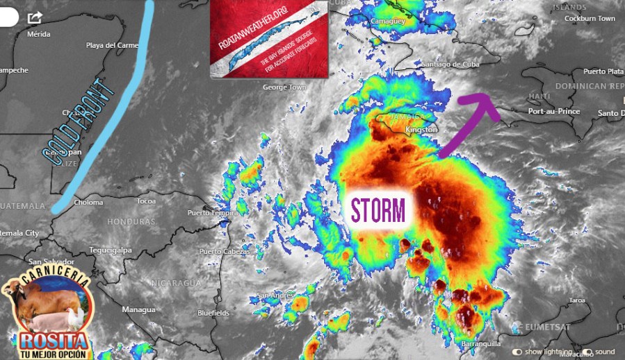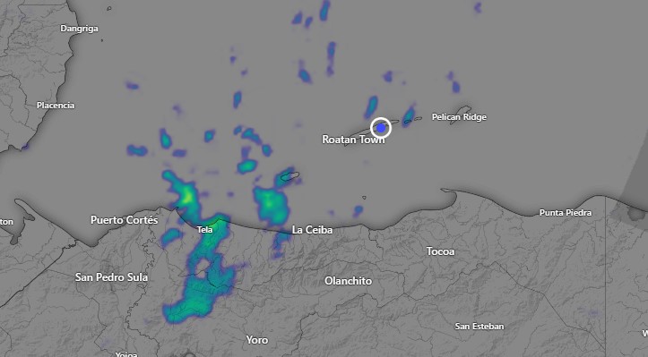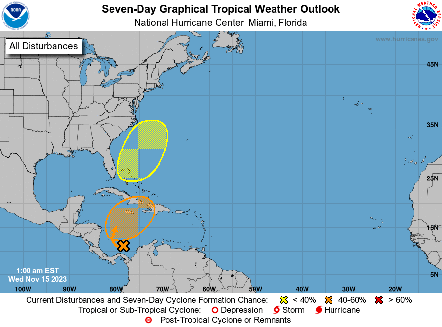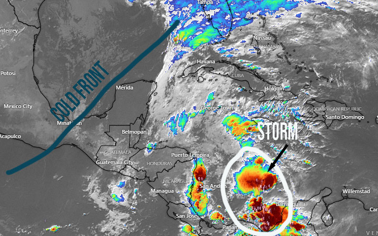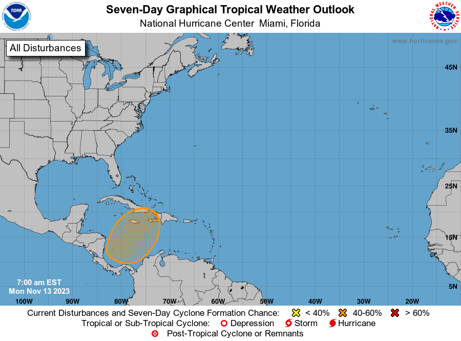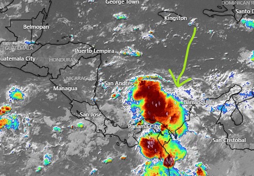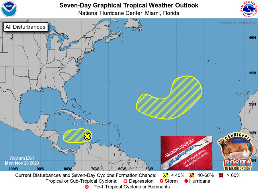
Surprise surprise. We have an area for investigation to be a potential tropical storm. Fortunately for us it is only a 10 percent chance of developing. The storm they are looking at is the one that originally made me think this weekend might be rainy.
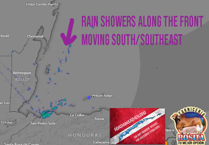
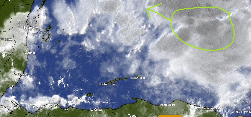
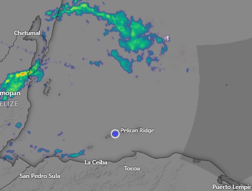
At the start of this map, you will see some rain north of Colombia moving to the west, but as it moves toward us, it never really gets very strong, because it is running into all the dry air that is giving us this dry weather. In fact, right now this weekend looks like only scattered showers, not heavy rain, so chances are not good for a tropical storm at all. But the National Hurricane Center thought the chance was good enough to mark it for investigation, so we will keep an eye on it.
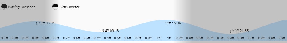
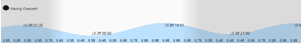
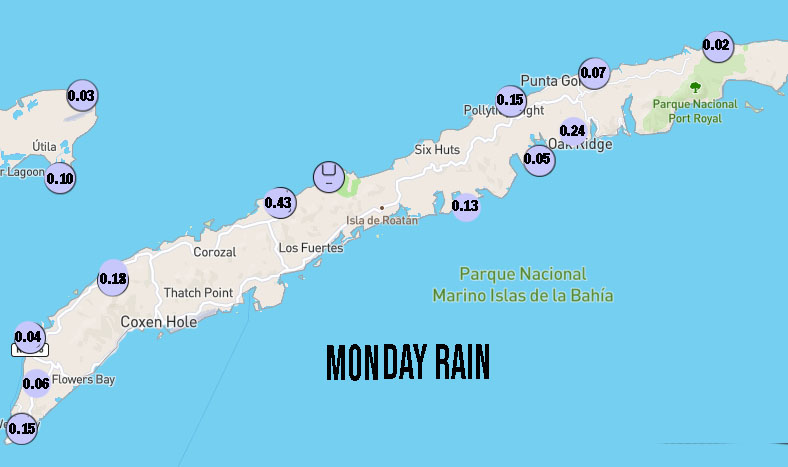
Other than that, this week looks very nice. We start the day with fairly calm winds and seas and almost clear skies. Winds will get up to around 15 mph this evening and seas to 3 feet, but starting tomorrow evening and into the weekend we will have remarkably calm winds and seas. Of course with lots of sun and little wind, its going to feel hot, especially compared to the fresh air we had this past weekend.