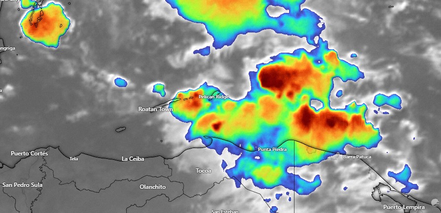
Good morning Bay Islands. Here is the satellite image of a thundershower were dealing with here on the east side.
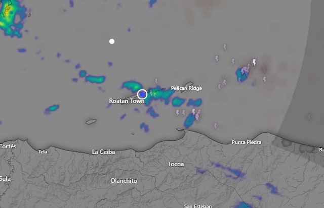
The rain is moving to the west-northwest.
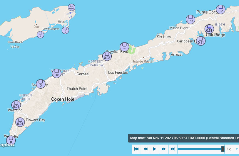
These are rain totals as of 6:55 a.m.
We’ll be dealing with frequent showers through the morning. Rain should become less this afternoon through tomorrow morning and increase tomorrow afternoon. Monday through Wednesday still have the potential for heavy rain, especially Tuesday and Wednesday. Most of the models show some sort of tropical disturbance forming off the Mosquito Coast, but the center of the storm has almost no chance of coming this way. It will eventually move northeast, giving us lower rain chances the end of next week. I am very excited that we might have a dry and fresh weekend, with sunny skies and temperatures only around 80 degrees.
Here’s our video forecast for today, in which I talk about the potential for Tropical Storm Vince and why we really want him to form. Also, nice weather next weekend.
