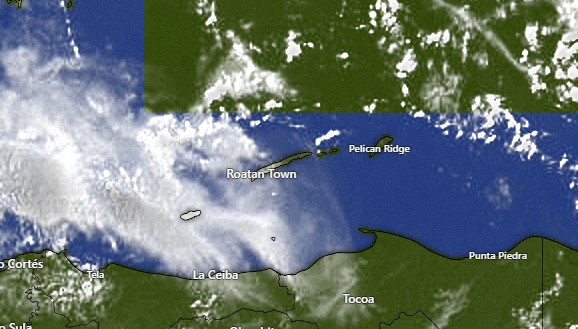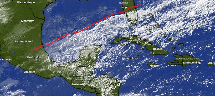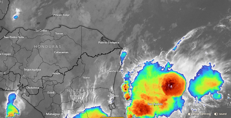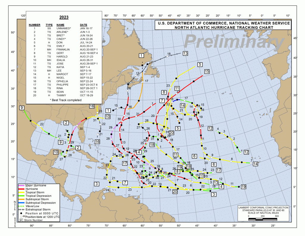
Tropical update for Dec. 1, 2023: This update is that the 2023 hurricane season officially ended yesterday. In past years that hasn’t meant much, because we still had tropical storms in December and sometimes even January. This year everything is quiet and it really seems like it is over. This was an El Nino year and El Nino years usually have fewer Atlantic hurricanes. This year we had 20 named storms and, as you can tell from the map, none of them came close to us. The closest was Idalia which formed near Belize in August and made landfall in Florida. It had no effect on our weather, and at the time we would have loved some rain.
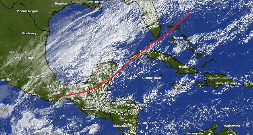
The bigger story this year was the Pacific hurricane season, with Hurricane Dora feeding the flames of the horrible Maui fires, Hurricane Hilary making an almost unheard of entry into southern California in the US, and worst of all, Hurricane Otis slamming into Acapulco, killing 50 and serving as a reminder that forecasting is not an exact science. Hurricane season starts again June 1.