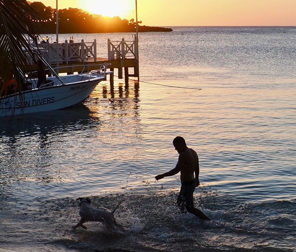
Good morning Bay Islands. Today’s photo of the day comes from Ontario resident Sylvia Lockard showing two very good boys frolicking in the waters of Half Moon Bay in West End. Sylvia’s photo is the last to compete for a $50 gift certificate to La Sirena de Camp Bay, Restaurant & Bar. The top five most-liked will compete in a poll tomorrow over at Roatan Weather on Facebook.
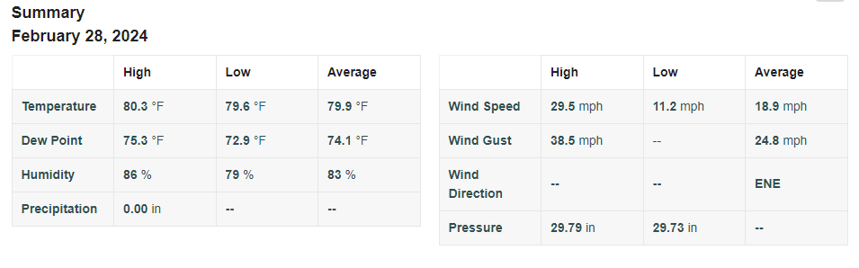
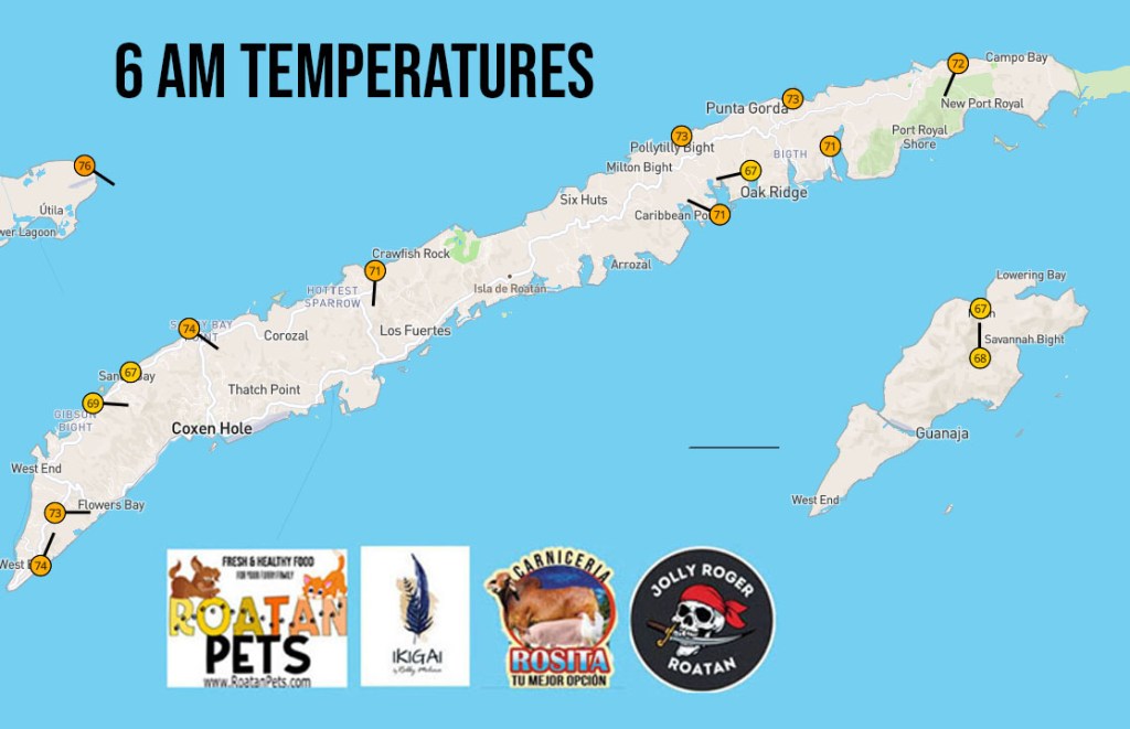
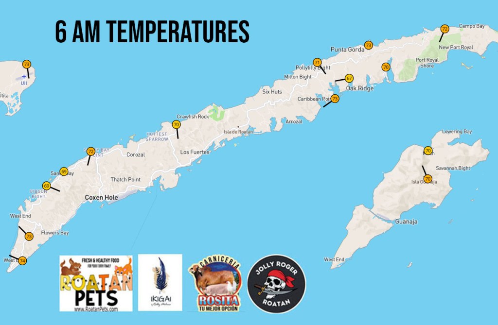
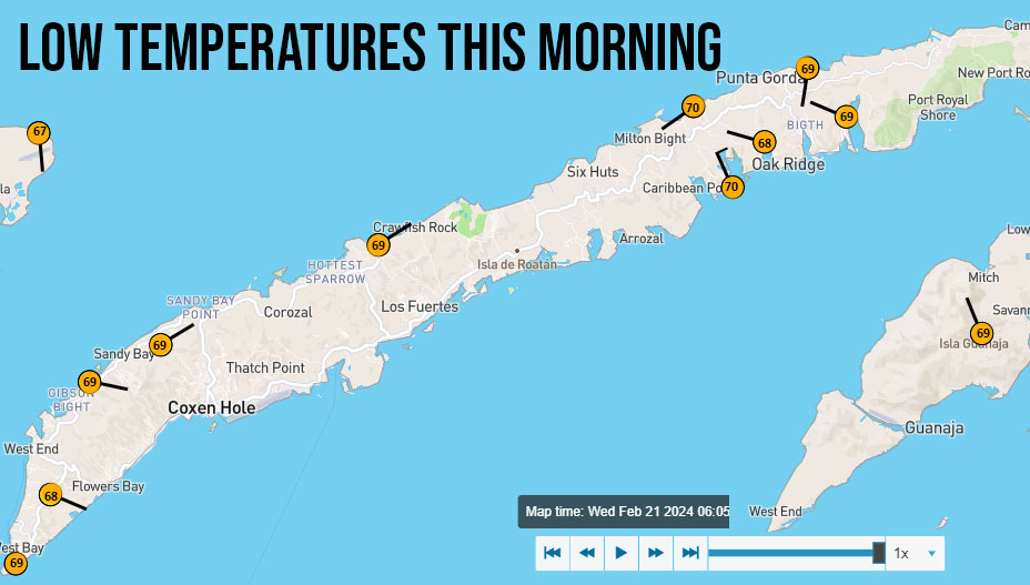
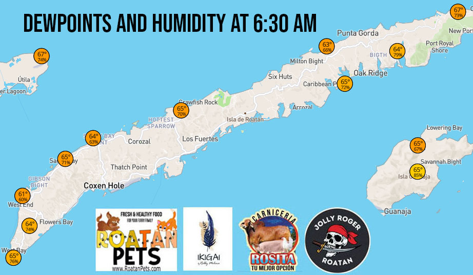
Here is the report as of 6:30 a.m. from the weather station in Keyhole Bay in West Bay. It shows a top wind gust overnight of 38.5 mph.
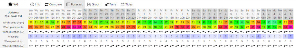
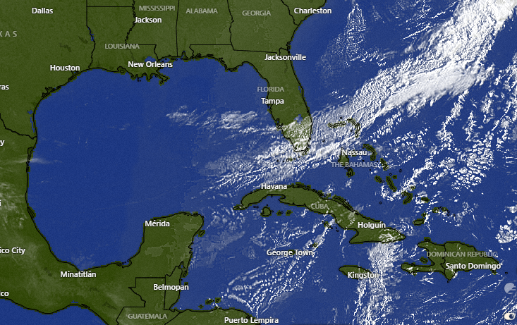
This wind chart shows that we are expecting similar winds through the week and the weekend. We start this morning with 20 mph east winds and seas 4 feet on the southside. Winds should calm a bit to 15-20 mph and seas to 3 feet on the south side but we are in for another quite windy night with gusts to 35 mph and seas 5-6 feet on the south side. There is some indication late next week we may get a little calmer, but these trade winds are a trademark of March/April in the islands.
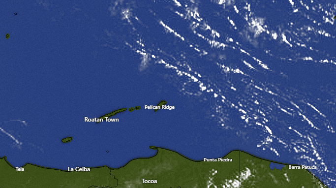
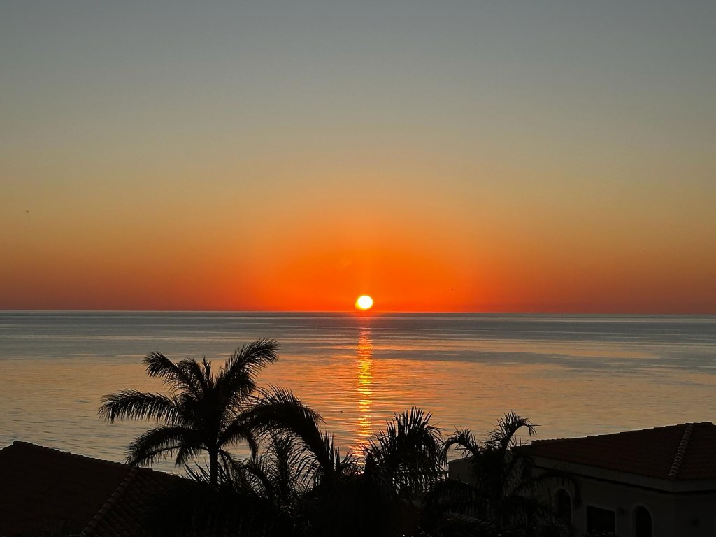
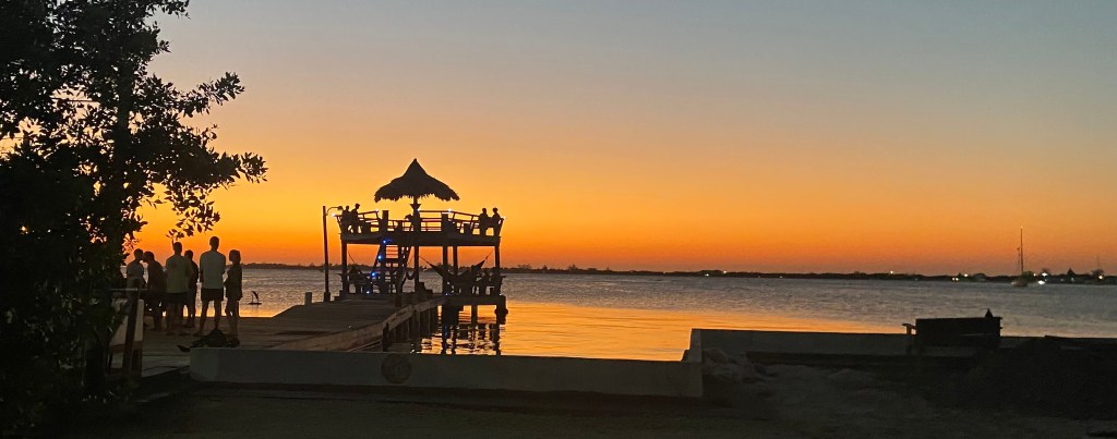
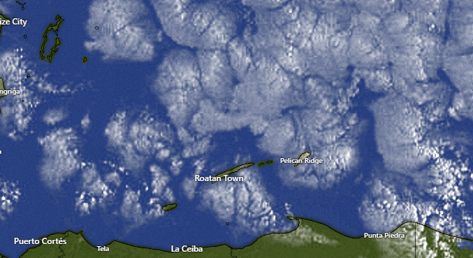
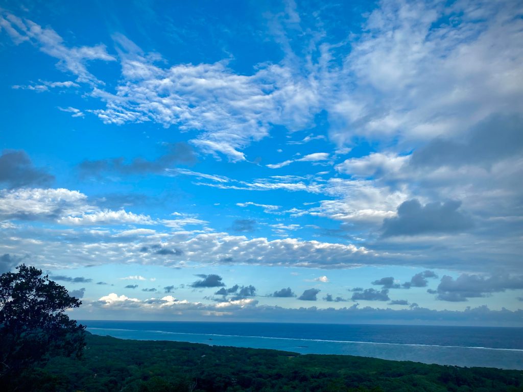
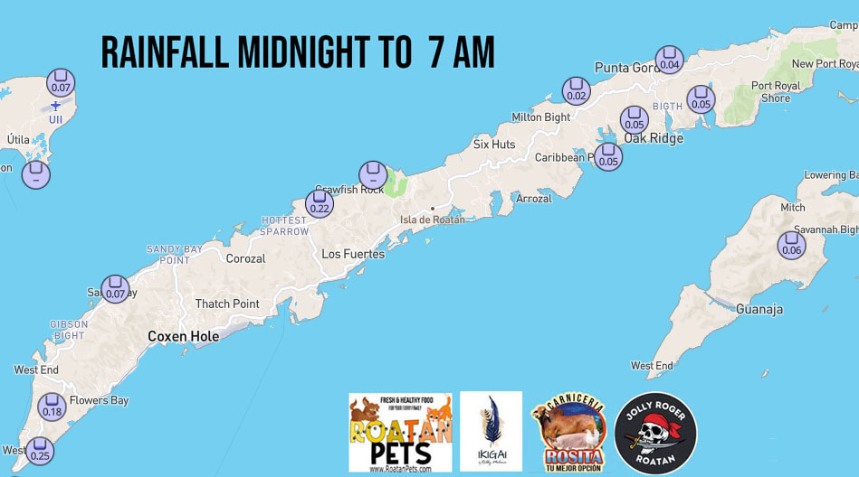
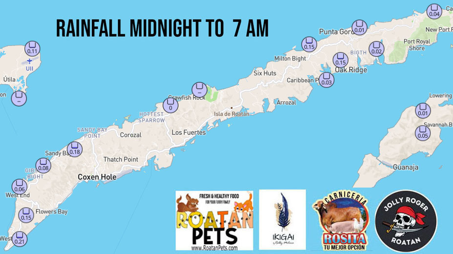
When it comes to rain, we look quite dry for the next week. There is a slight chance of a shower Thursday night into Friday morning, but that is about it when it comes to rain. We will have very few clouds, in fact.

Tomorrow the photo of the day will be competing for the March prize of $50 in food from Roatan Pets. If the winner doesn’t own a dog, he or she can continue the great work that Mitch Cummins is doing by donating it, along with the 10 percent of proceeds Mitch already donates, to Roatan Operation Animal Rescue. I think we can all agree the animals of Roatan need all the help they can get and ROAR does great work.
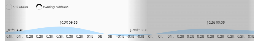
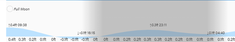
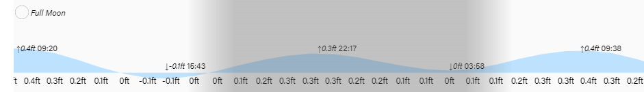
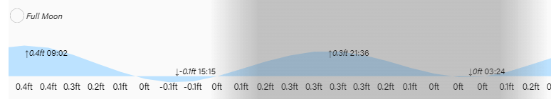
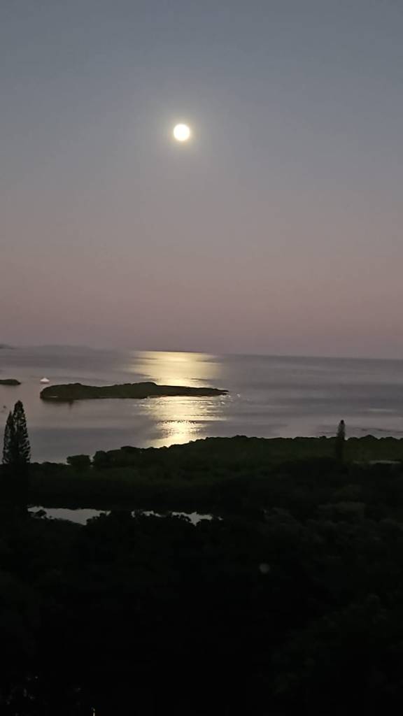
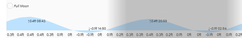
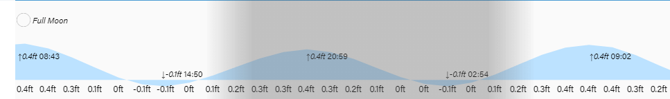
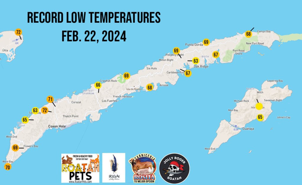
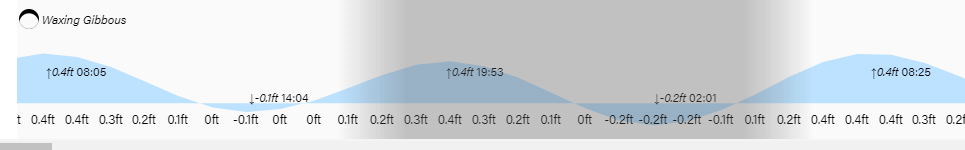
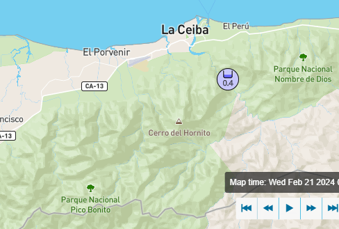
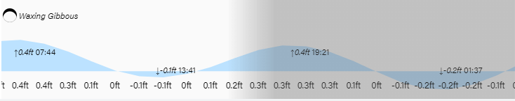
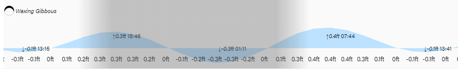
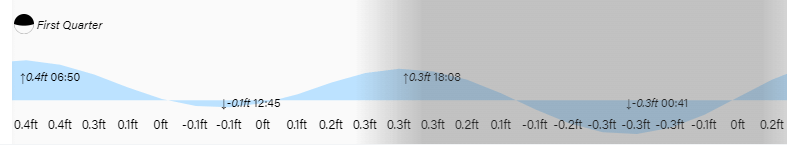
The full moon is on the wane and high and low tides are mild. Have a great Wednesday!