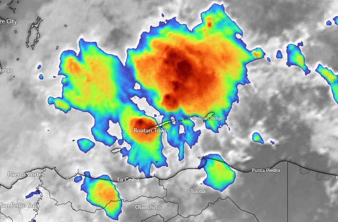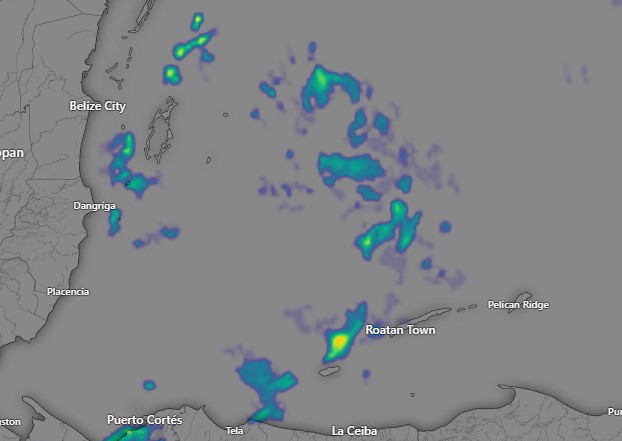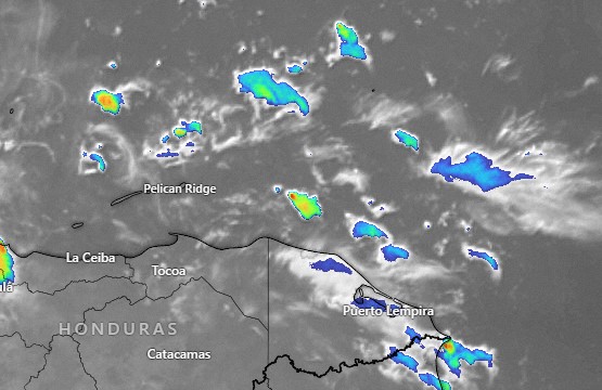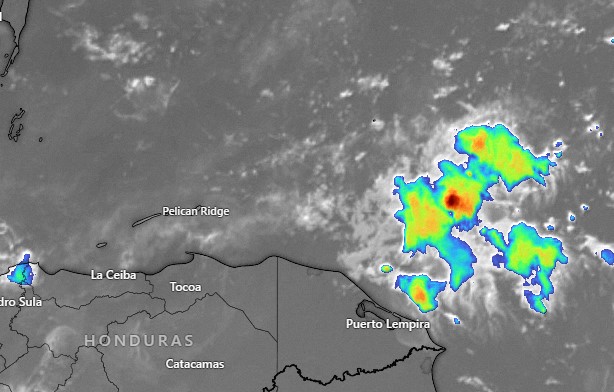
Good morning, Roatan! Yesterday afternoon we got a rainy, cool, island autumn day! We were in the mid-70s and we got rainfall totals between half an inch and an inch and a half, adding to what we had already gotten. This morning the clouds and rain are to our east and mostly moving away from us. I would imagine Guanaja got rain this morning, while Roatan has been dry since midnight. The northside is still choppy.
Today we will have partly cloudy skies and a 40 percent chance of rain, especially this evening, and a 60 percent chance of a shower tonight. Winds will be north/northeast at 10-15 mph and seas on the northside. Tomorrow there will be a chance of a morning shower, but then mostly sunny with northeast winds 5-10 mph and seas on the northside 2-3 feet.
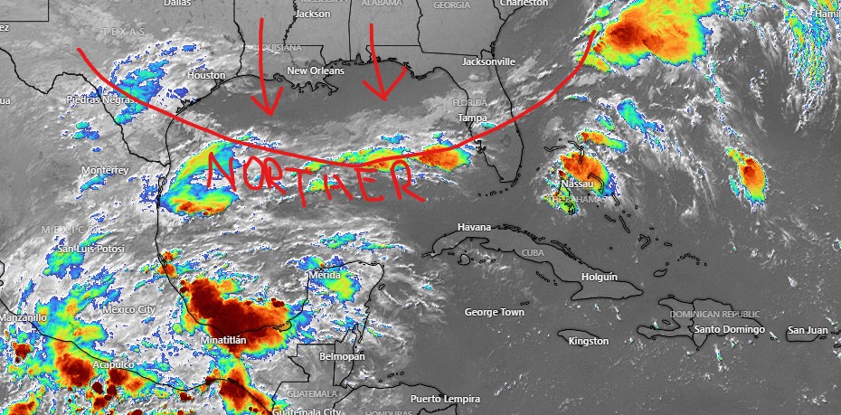
As we’ve been saying for a while, the week ahead looks nice, with mild winds shifting back to the east, seas 1-2 feet on the southside and only a very small chance of getting a passing shower. Have a great weekend!