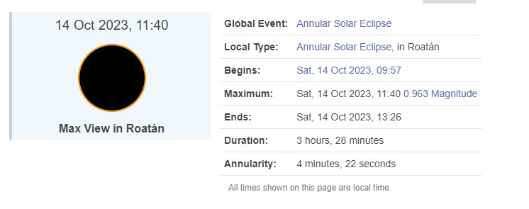
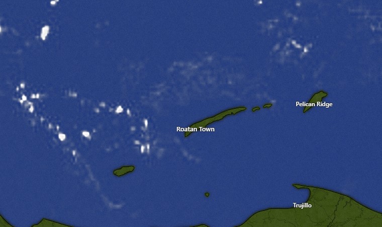
Good morning Bay Islands. We wake up to mostly clear skies and seas 1-2 feet. We will stay mostly dry through Saturday, but our winds, especially in the evenings, will pick up to 15-20 mph from the east tonight and tomorrow night and 20-25 mph on Saturday night. Sunday we will start to see our weather change as our norther (cold front) approaches. We will have scattered showers Sunday, more widespread showers Monday and Tuesday and Wednesday could be days with very heavy rain and a cool north breeze.
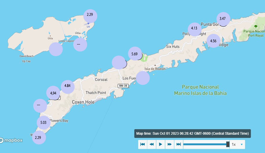
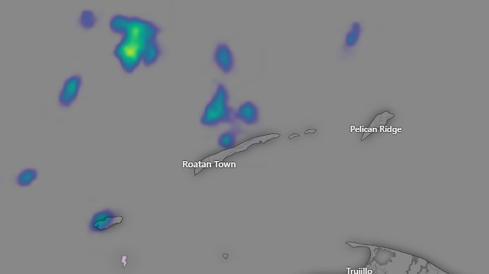
I have two rainfall maps for predicted rain on Tuesday.
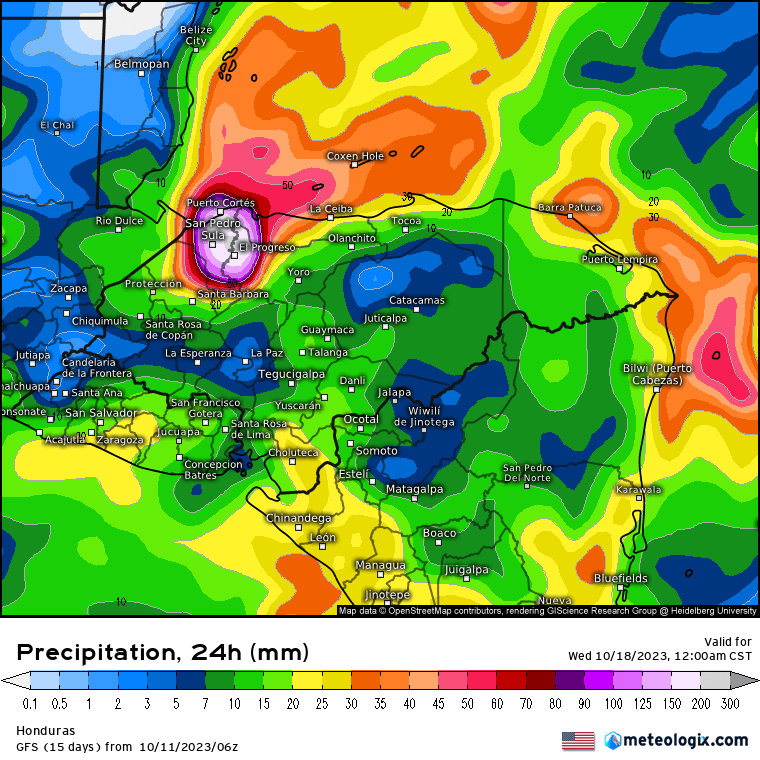
The US GFS has most of the rain to our west, but still gives us an inch and a half on Tuesday.
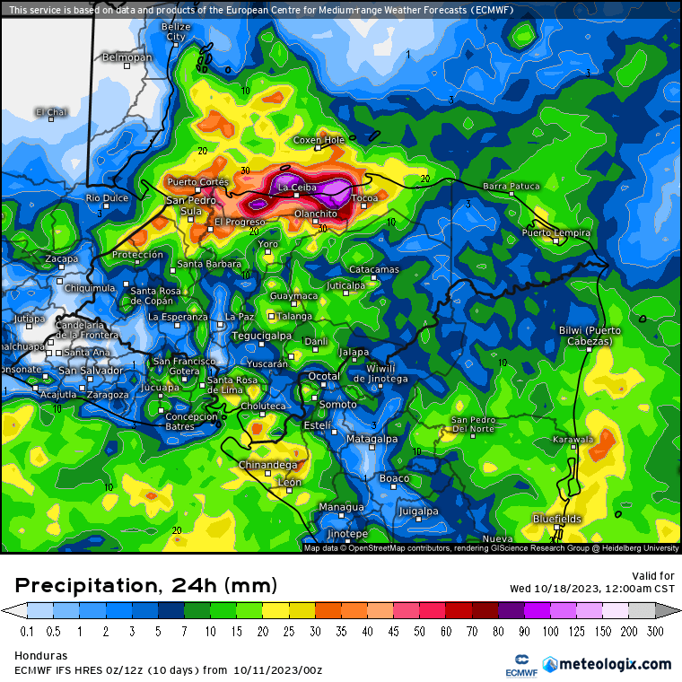
The Euro has a more typical setup for a norther, where the winds from the north run into the mountains on the coast, giving La Ceiba the heaviest rain and less rain the farther north you go from the coast. Most models give us 2-4 inches before the rain decreases next Thursday, but there is a chance some areas get more — much more. Have a great Wednesday!