Good morning Bay Islands. We have some clouds and a few thundershowers to the east of Guanaja. Those are weakening as they move west. Guanaja and perhaps even east Roatan will see some clouds over the next few hours and perhaps a small shower or two, but nothing major. Our forecast continues to be mostly sunny and hot for this week. We have 2 foot seas and east winds 10-15 mph this morning. We’re going to see winds and seas pick up as we go through the week, 2-3 feet tomorrow, 3-4 feet Thursday and Friday. Winds especially in the evenings will get up around 20 mph toward the end of the week.
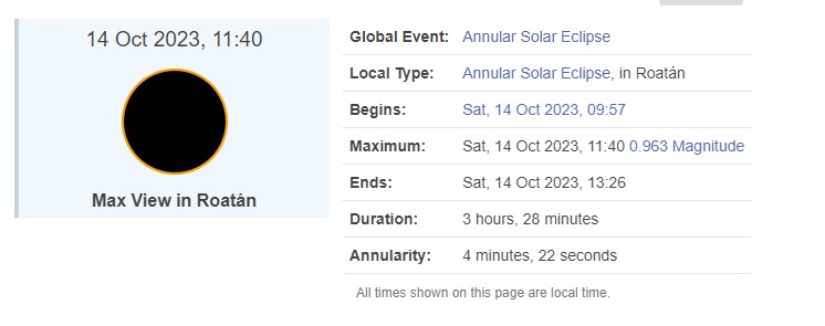
Lots of folks have been asking about the weather for our near-total solar eclipse. Right now I’d say it looks pretty good. We should have some high clouds in advance of our cold front next week, but the cold front itself will still be to our north, so we should have partly cloudy to mostly sunny skies. Get ready, because it will be our last solar eclipse this good until Dec. 6, 2067.
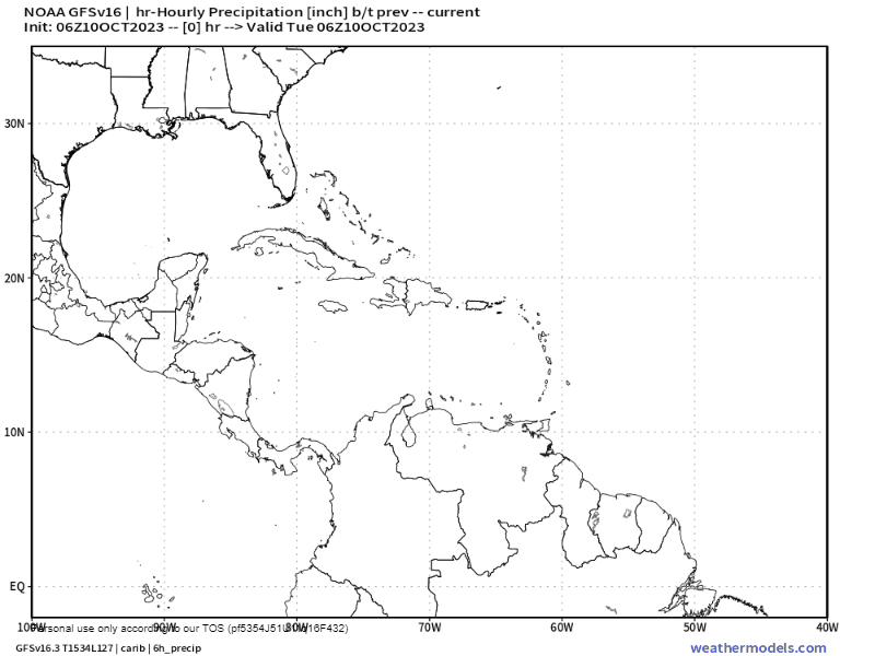
The big story next week is the norther that is on the way. Scattered showers will increase as it approaches Sunday evening, Monday and Tuesday. Right now Wednesday and Thursday of next week look like days of heavy rain.
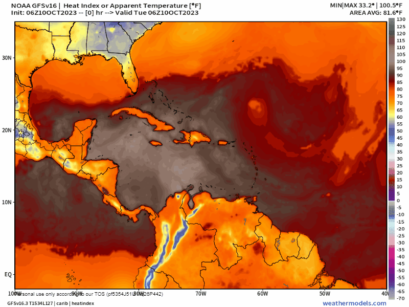
This will bring great relief from the heat. This is a heat index (the temperature our body feels) map for this week and next. Notice the light brown we are surrounded with this week? Those are heat indexes well over 100 degrees (38-40C). When the front gets here starting the beginning of next week, our heat indexes go down to red (80s) and orange (70sF, around 24C). It will be a noticeable cooldown. Have a great Tuesday!
