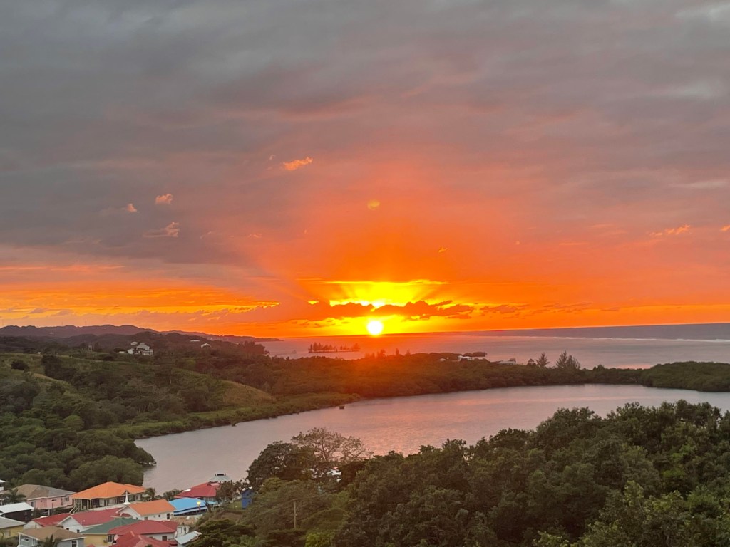
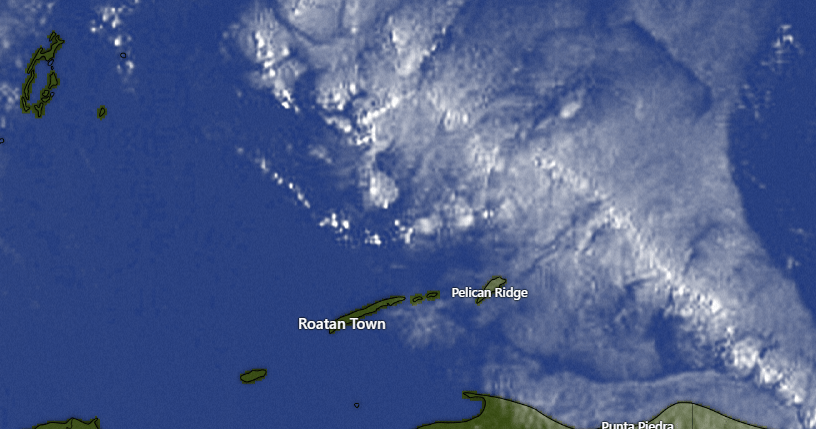
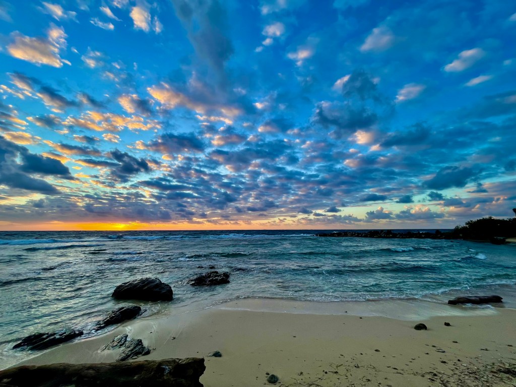
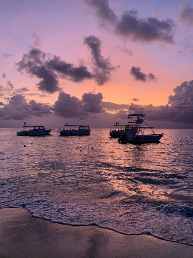
This morning’s photo comes from Philip Sikora and is looking at the mountains of the mainland from Flowers Bay. I love days when you can see the mainland clearly and it generally happens after a nice rain clears. We don’t have a lot of rain in the forecast through Saturday, but a norther should bring more rains Sunday and Monday.
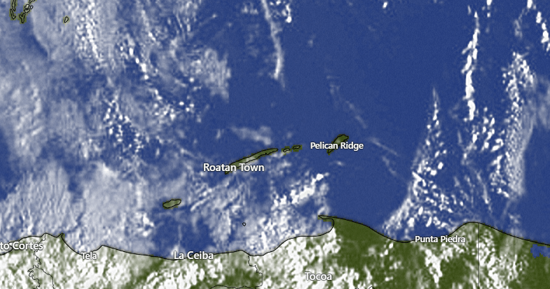
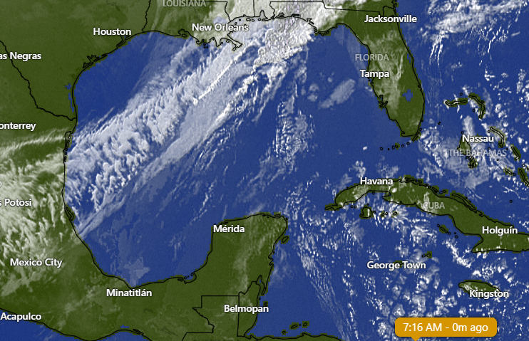
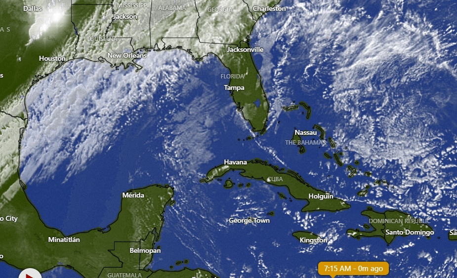
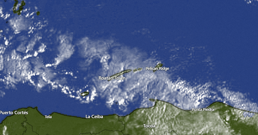
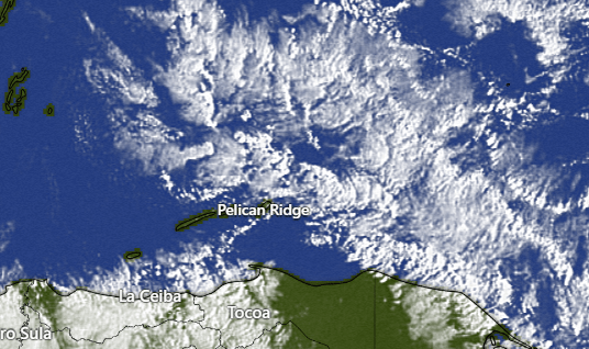
Rain forecast: On this morning’s satellite we can see a few popcorn clouds moving from east to west and at 7:30 a.m. some are approaching Guanaja. So we will leave a small chance of a scattered shower until midmorning. After that we should be mostly dry through Saturday, though I can’t rule out a nighttime or early morning shower tomorrow. Sunday through Tuesday rain chances go up as our next norther, which looks a lot like our last norther, comes through. Not all day rains, just scattered showers here and there.

Speaking of rain, many of us got a shower just after midnight this morning. Here are the rain totals.
If your “good boy” is a growing pup and an graying older dog, you need to give Mitch Cummins at Roatan Pets a call at 98017828. He can create a formula specifically designed to your dog’s needs.
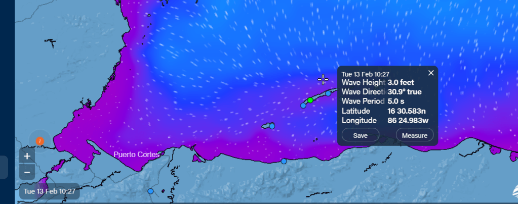
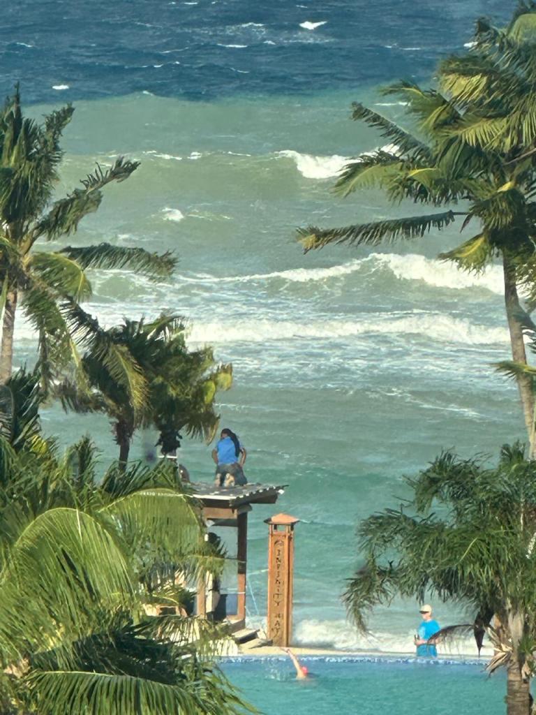
Wind forecast: We wake up to east winds around 10 mph and seas from the northeast around 3 feet. When seas are from the northeast, the waves are similar on both sides of the islands. Seas should be 2-3 feet through tomorrow with a tendency to be more from the east, meaning that the north side may get even calmer. Winds will be from the east 10-15 mph today and tomorrow. Saturday looks quite calm with very light winds and seas 1-2 feet. Sunday winds turn to the northwest at 17-22 mph and seas from the northwest at 2-3 feet.
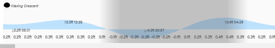
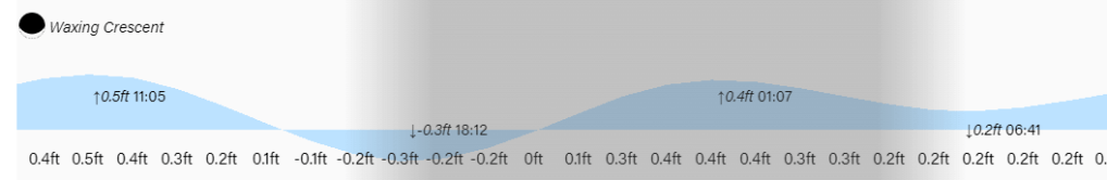
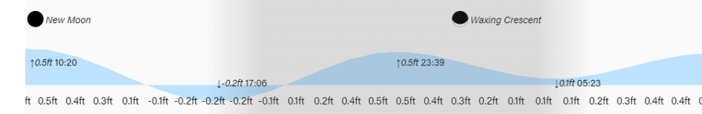
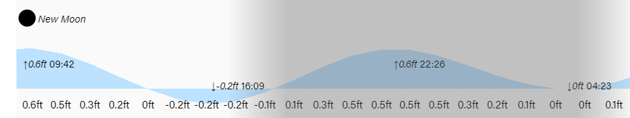
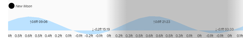
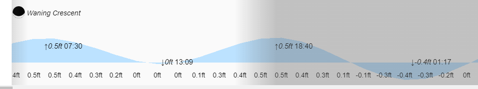
Low tide is 9 p.m. Have a great Thursday!