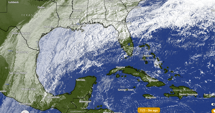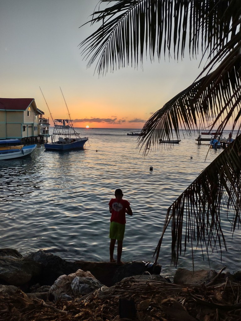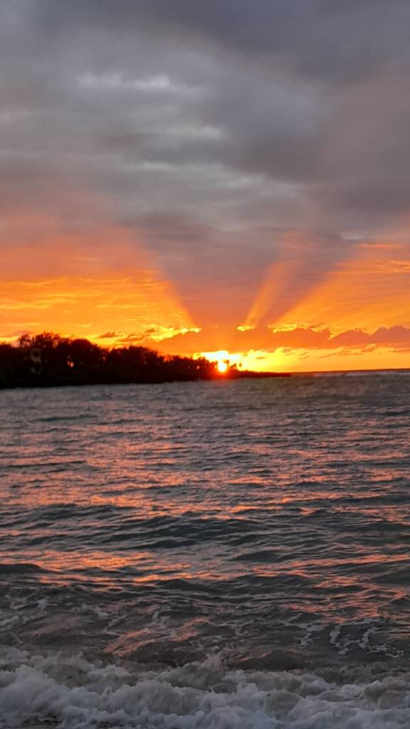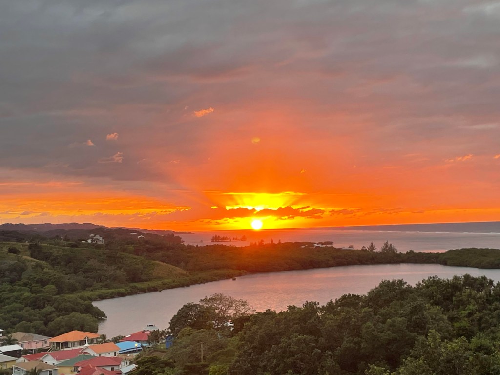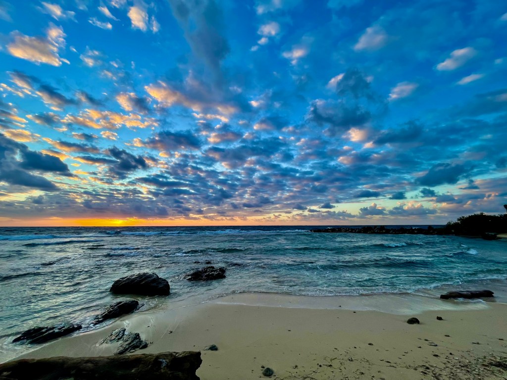
Good morning Bay Islands. Did I say I love seeing people in the weather photos? You gotta love the cute little girl in Rob Vagnier’s photo from West Bay. Remember the five photos with the most likes compete on Feb. 29 for $50 in food at La Sirena in Camp Bay. A norther is closing in this morning.
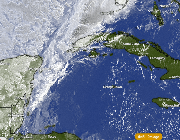
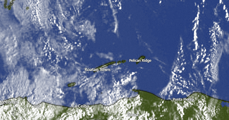
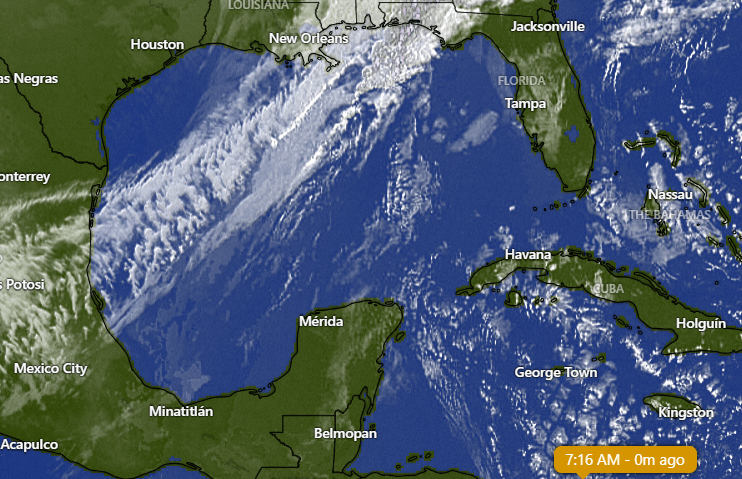
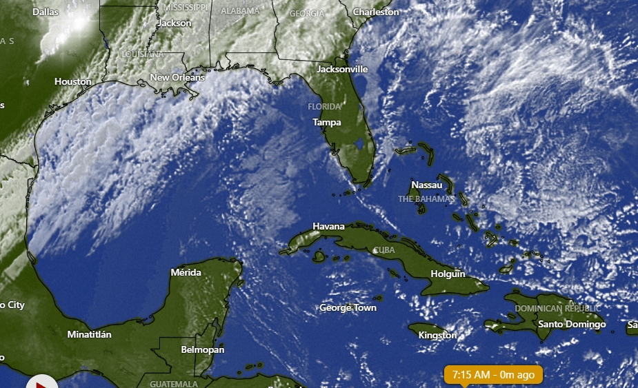
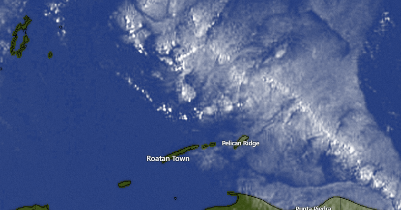
In the satellite you can clearly see the clouds on their way. Looks bad, right?
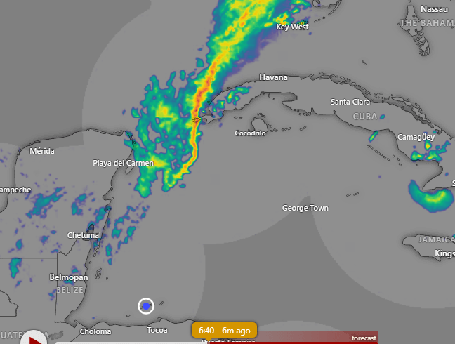
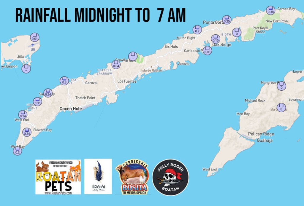
But when you look at the radar you can see that the heaviest rain is staying well to our north. The southern end of this cold front only has scattered showers.
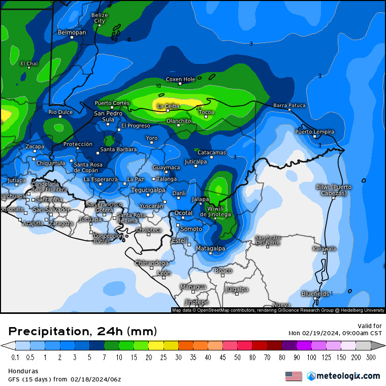
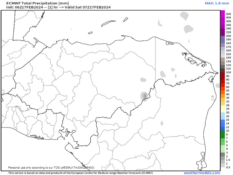
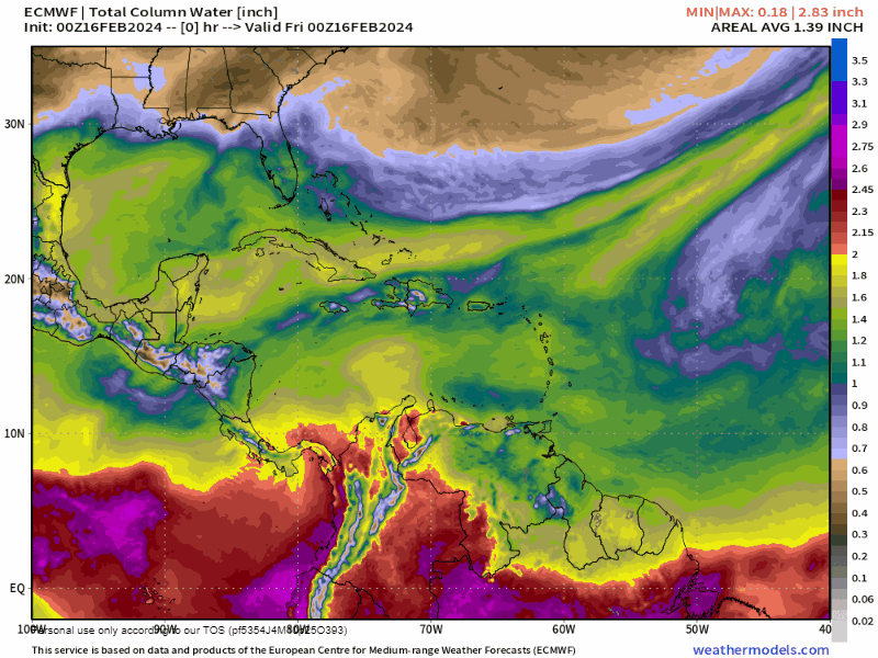
This is the GFS forecast for rainfall for the next 24 hours. You can see that it is predicting about an inch for La Ceiba and less the farther north you go. If this forecast holds true, then Utila should get the most rain, a little under an inch. Usually the real totals aren’t this neat, so some folks will likely get close to an inch and others may get very little rain. But we will have clouds today. There will be a chance of rain tomorrow morning and after that decreasing clouds in the afternoon. Tuesday morning there will be a small chance of rain, but after that we will be dry, mostly sunny and cool for the rest of the week.
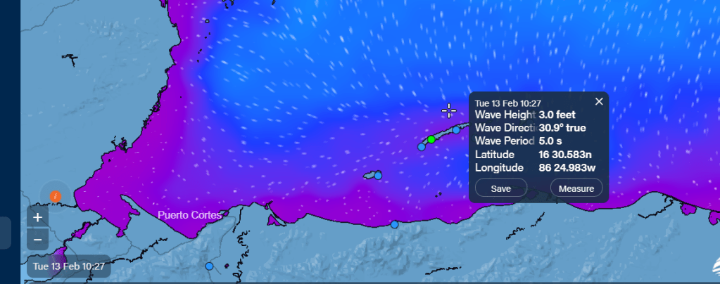
We start the day with winds from the west at 20 mph and seas 2-3 feet. As we get toward midday those seas should get a little wavier, especially on the north side, toward 4 feet and winds will come from the northwest 20-25 mph. Overnight seas will be up to 5-6 feet. Tomorrow winds will start to calm, turning to the north 10-15 mph and seas will start the day at 5 feet and calm to 4 feet on the north side. Tuesday and Wednesday light winds will still be from the north and seas 3 feet on the north side.
The end of next week into the weekend looks like beautiful weather, with mild winds and sunny skies.
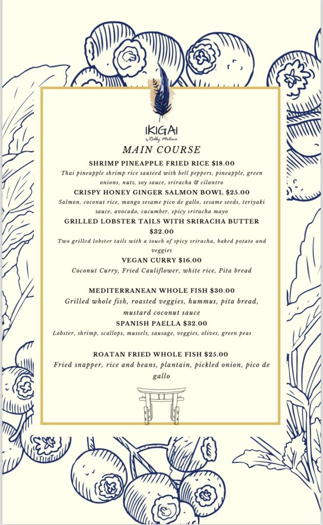
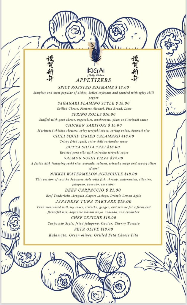
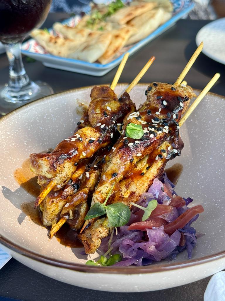
The main courses on the new menu at Ikigai by Robby Molina look awesome. I’m a sucker for fried rice, or as many on the island call it, China rice. My wife will probably go for the vegan curry. No, she’s not vegan, but she loves curry and cauliflower. What do you want to try?
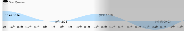
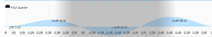
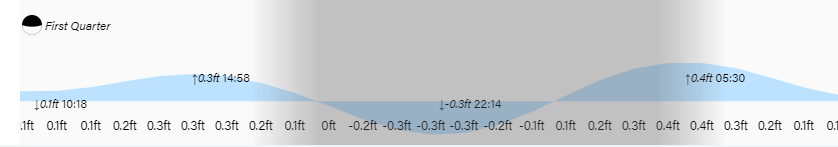
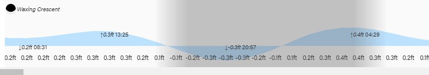
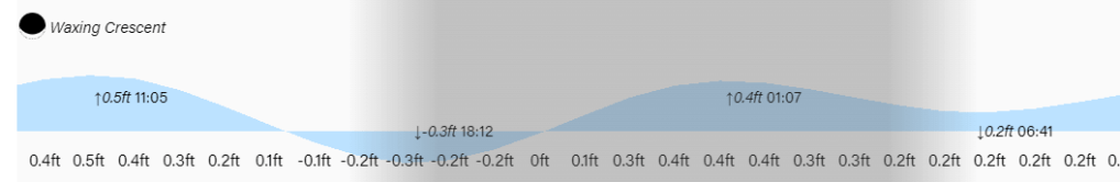
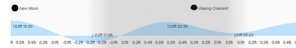
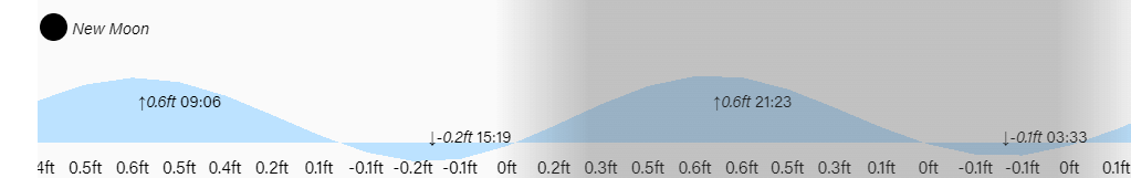
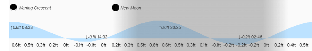
Low tides are noon and midnight under a half moon. Have a great Sunday!