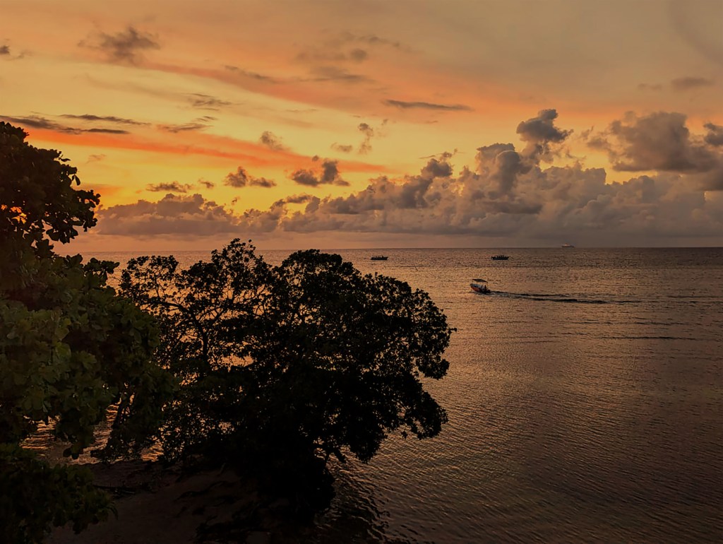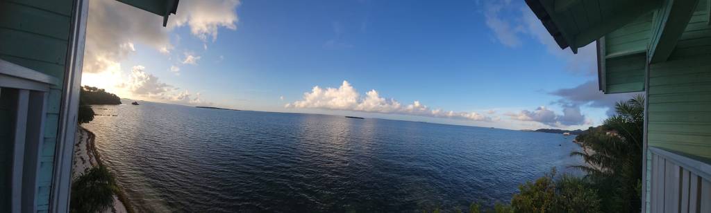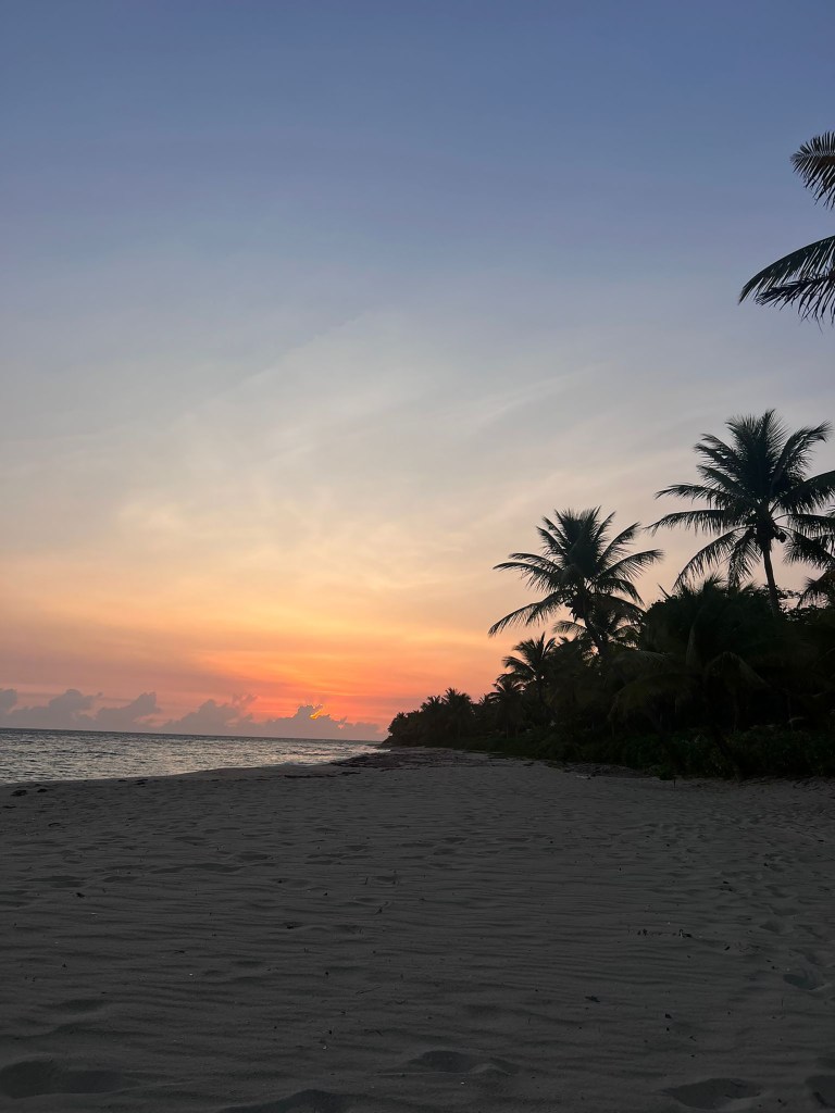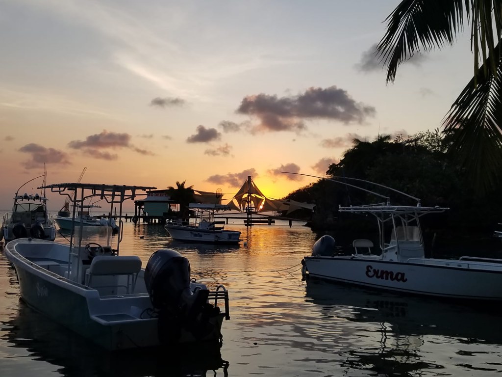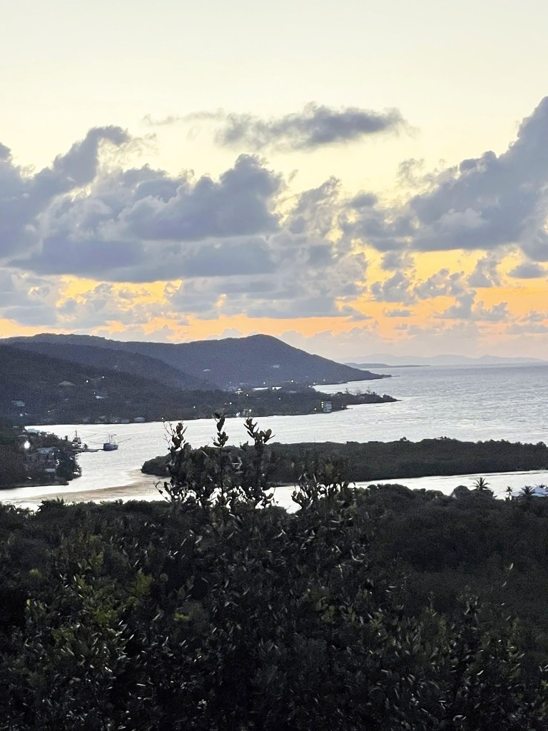
Good smokey morning Bay Islands. Our photo of the day is from Jeffrey Hill, taken from the top of the hill above Jonesville Point and Czech Village looking toward Oakridge and Calabash. I got a good view of this area from the sea side during my weekend trip to Guanaja. I’m working on a video of my experience I hope to have out this weekend.
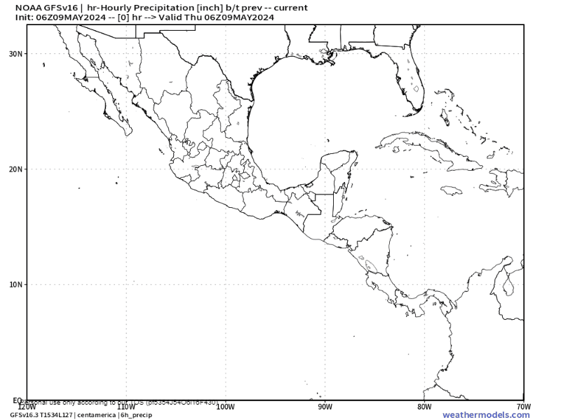
The GFS weather model keeps wanting to turn the storms on the Pacific side of the mainland into a tropical storm, but the National Hurricane Center isn’t buying it. Even if this happens, it won’t help us since these storms are moving into west into the Pacific.

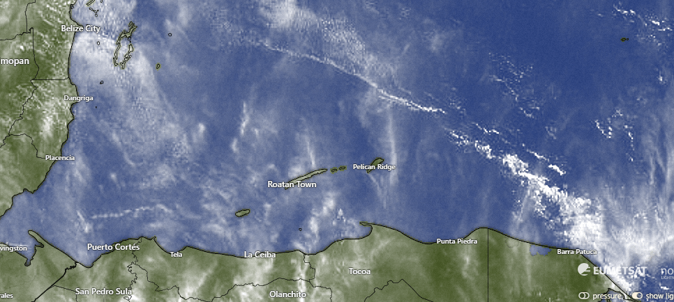
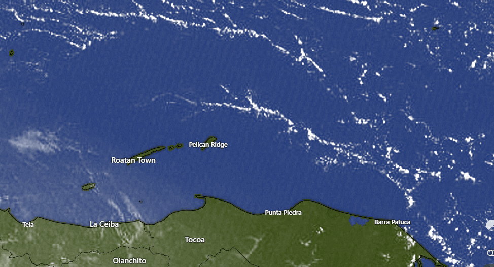
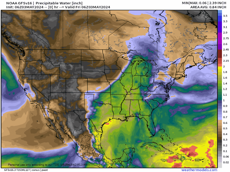
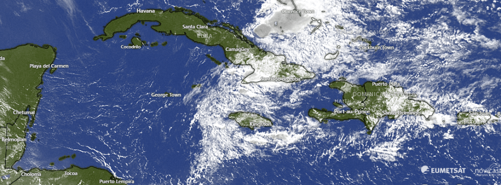
On our satellite we see that it isn’t just dust and smoke in the air. We also have actual clouds. There’s even some storms on the Pacific side of Honduras. Unfortunately, those are not moving north. Today and tomorrow we will be mostly cloudy in the mornings with some hazy sun in the afternoons. This weekend should be less cloudy.
Wind and Galaxy Wave forecast: We will continue to have east winds around 15 mph and seas 3 feet southside middays and gusting to 25 mph and 5 feet southside evenings.
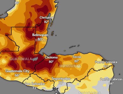
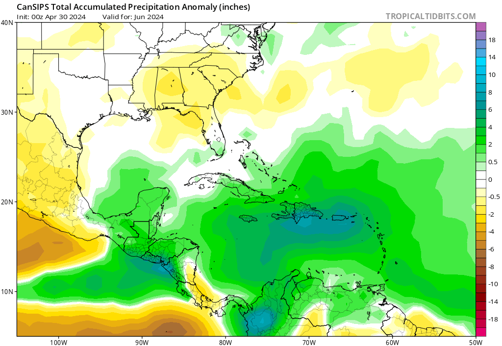
We aren’t the only ones who are dry. The mainland, especially the western side, and Belize up into the Yucatan of Mexico is in exceptional drought. There isn’t much in the forecast that says this will change over the next week.

Smoke from fires can be seen in the darker shades here. Usually these are agricultural fires from farmers clearing land. Visibility at the airport is down to 5 kilometers and modified visual flight rules. Hopefully we don’t have a repeat of last year, when flights were diverted due to smoke.

Ikigai by Robby Molina is hosting a special Sunday Bruch for Mom this Sunday. Check it out, along with the dinner special the same day.
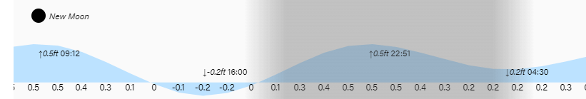
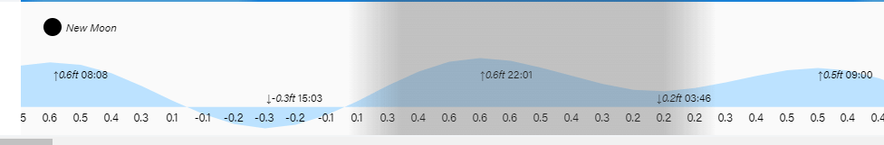
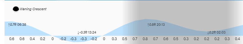
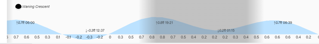
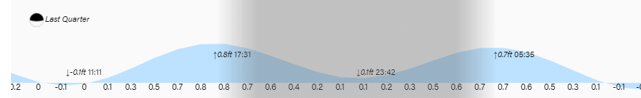
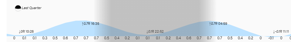
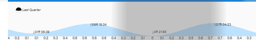
Lowest tide is 4 p.m. Have a great Thursday!