Good morning Bay Islands. Our photo of the day is the setting moon on Sandy Bay from Regina Alpaugh.
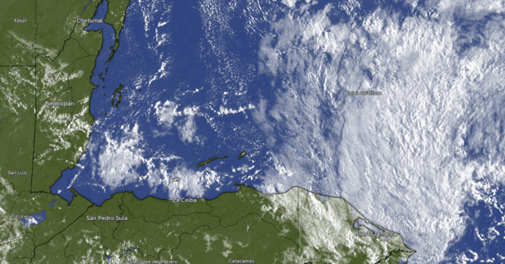
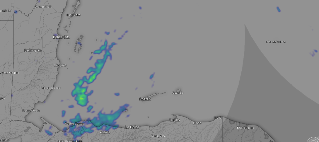
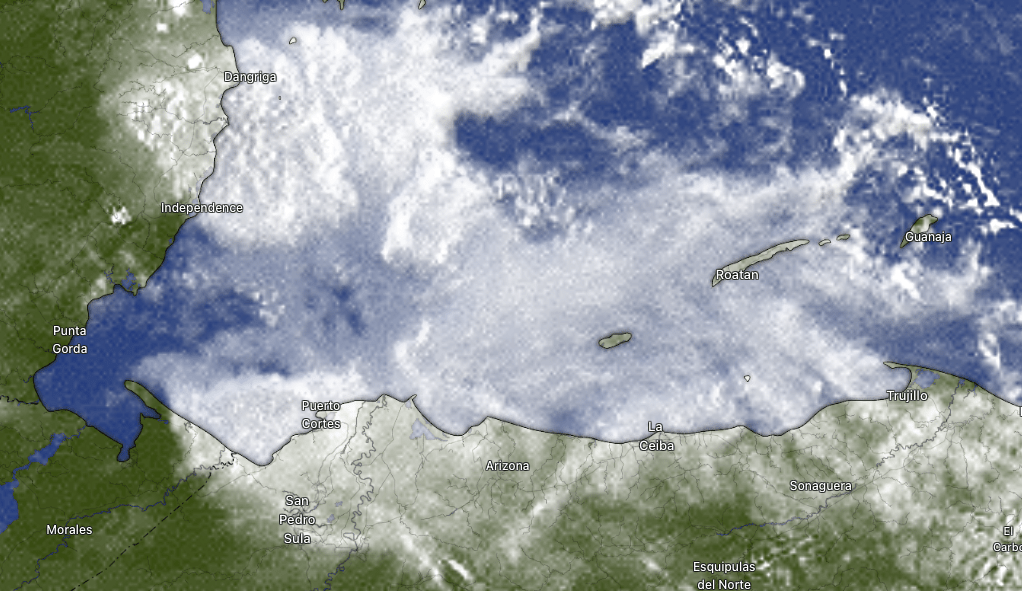
It’s been kind of hard to see the moon with all these clouds and showers around, especially on the east side, which got close to an inch of rain yesterday and many of us have picked up one to two tenths of an inch this morning. Rain showers will continue into the weekend, but we will get some peeks of sun.
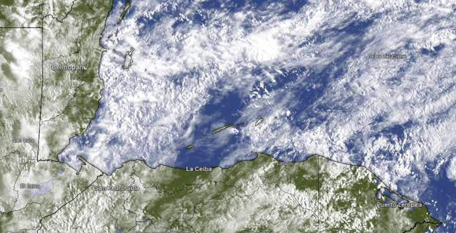
At 7:30 a.m. we are in a bit of a break in the clouds, so most of us are getting some hazy sunshine. We’ve also had some rain cooled temperatures. The airport yesterday recorded a high of only 77 (25C) and this morning had a low of 71 (22C). We will continue to have off-and-on showers the next few days. As we get toward Sunday those showers should be come less frequent.
This morning we start the day with northeast winds 15 mph and seas 3-4 feet. Those winds and seas will calm today, with daytime winds 5-10 mph and seas 2-3 feet, and closer to 2 feet daytimes. Winds will get up to 15 mph nighttimes.

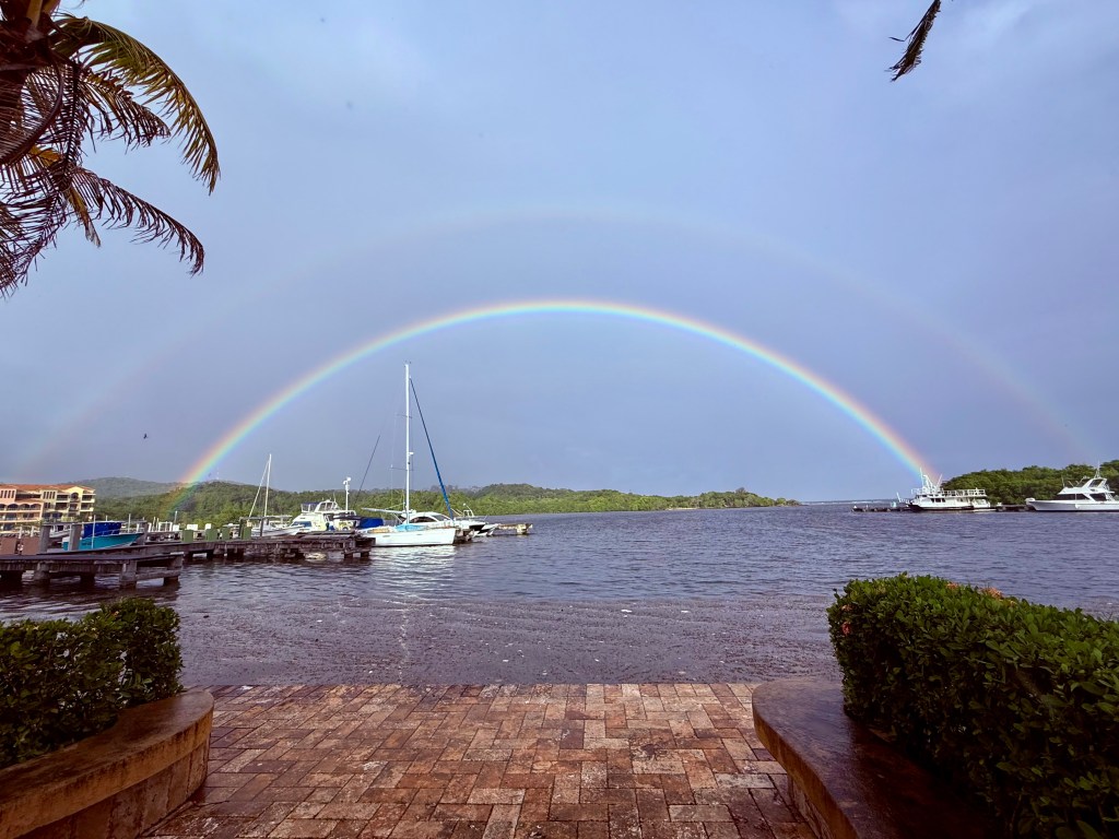
I’ve never complained about snorkeling in the rain. I mean, I’m going to be wet anyway and the fish don’t know. But if anyone knows how to dodge the raindrops, it is Jolly Roger Roatan.
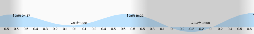
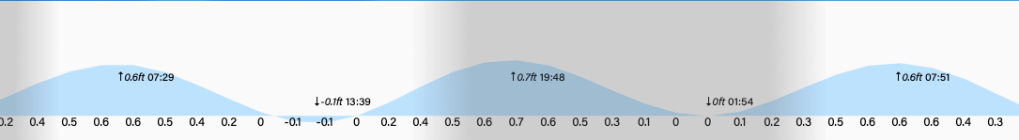
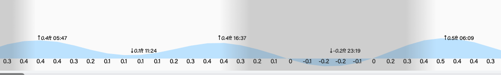
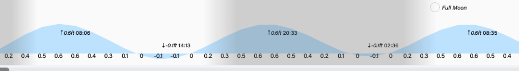
Low tides are 10:30 a.m. and 11 p.m. Have a great Thursday!