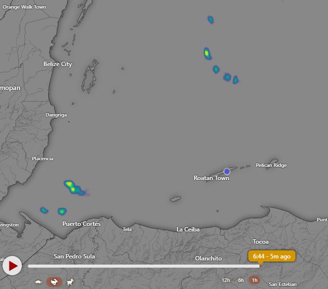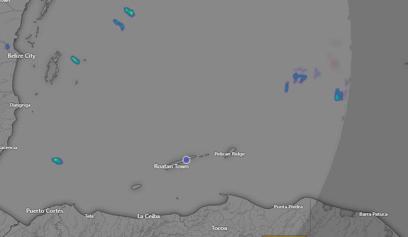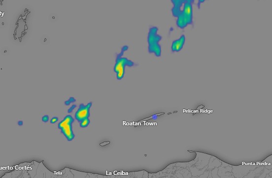
May 27, 2023: Good morning Bay Islands. We’re still watching the northern sky to see if we can get a shower over the island, perhaps around 9 a.m. If so, consider yourself fortunate. After that we will have partly sunny skies and dry conditions. We should have small chances of early morning showers through Wednesday. After that, I’m afraid things look completely dry again.
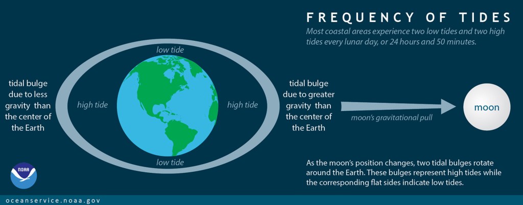
Winds will be light today and tomorrow, 5-10 mph and seas 1 foot, Monday and Tuesday will be a little breezier with winds 10-17 mph and seas around 2 feet. After that winds and seas look calm. We are in a mostly dry and very hot cycle that doesn’t seem to be going away any time soon. Let’s hope we can pull in some of these morning showers the next few days. Low tides are 10 a.m. and 10 p.m. Have a great weekend!