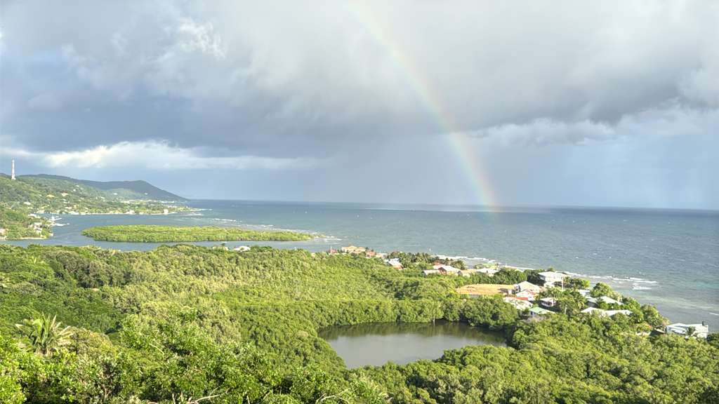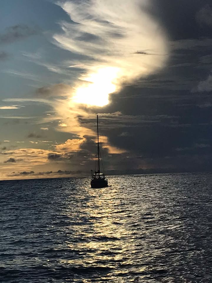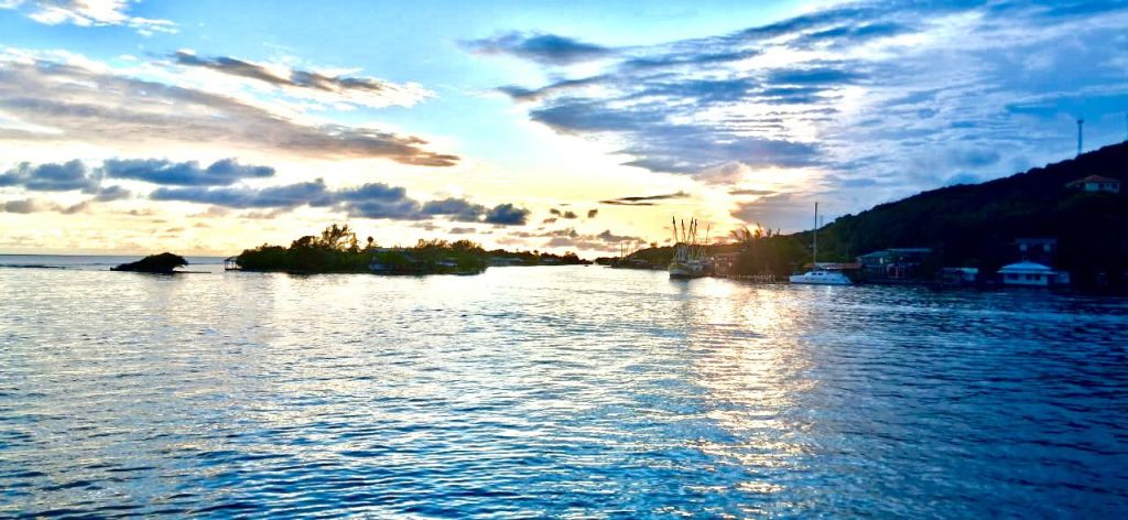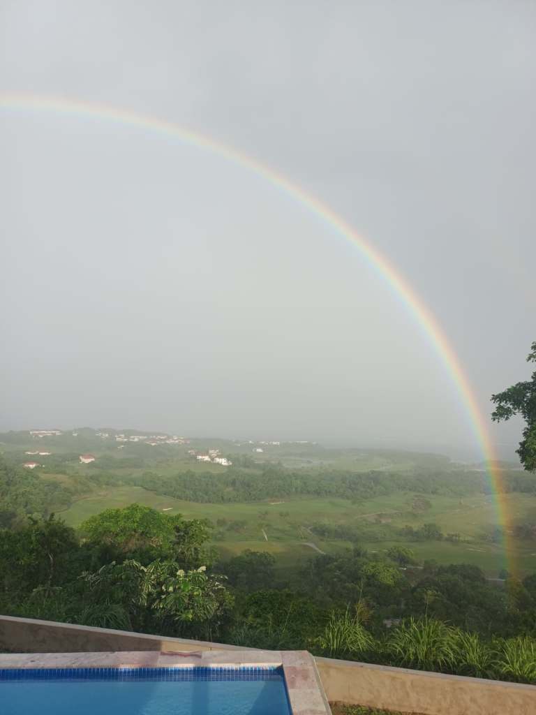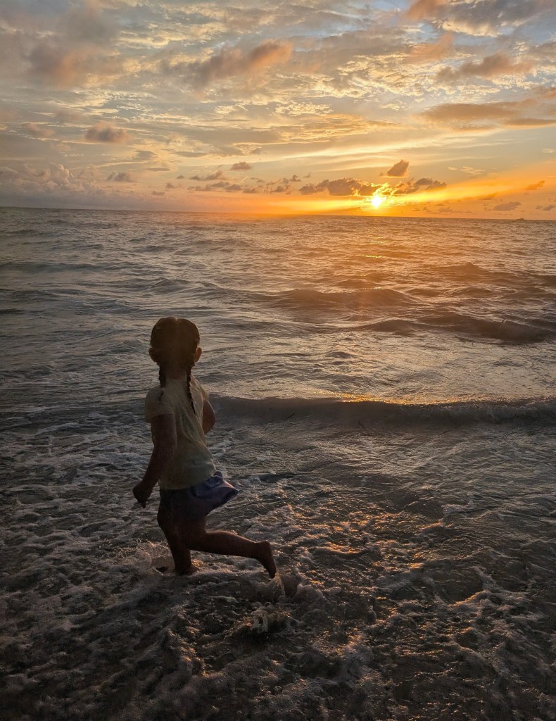
Good morning Bay Islands. Our photo of the day is from Michelle Meyer, showing her daughter taking a look at the sunset on West Bay Beach.
Guanaja and a few spots in Sandy Bay picked up a very quick shower this morning, but most of us have been dry. We should be mostly dry today with very calm winds and seas.
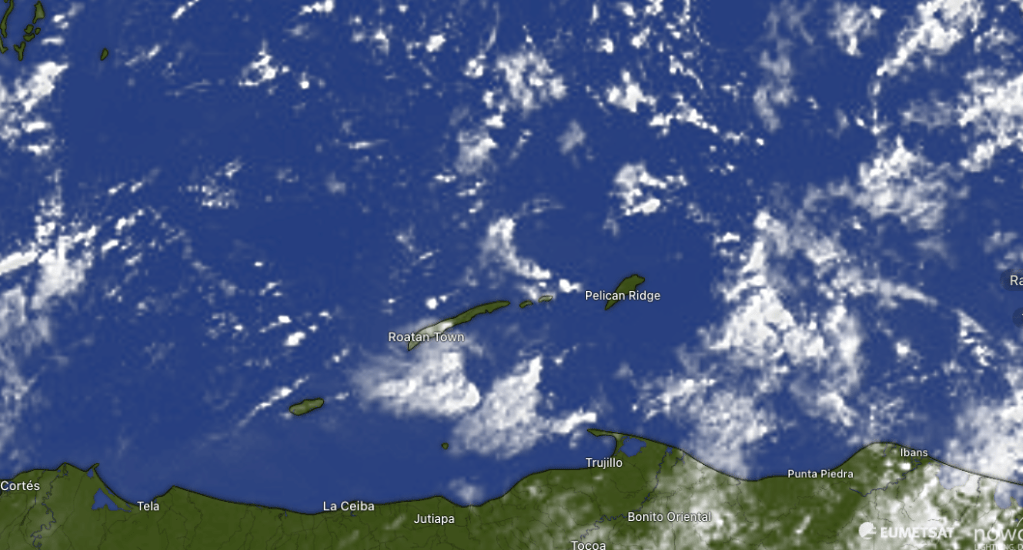
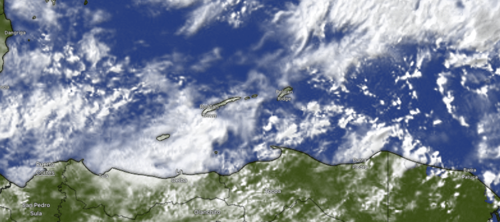
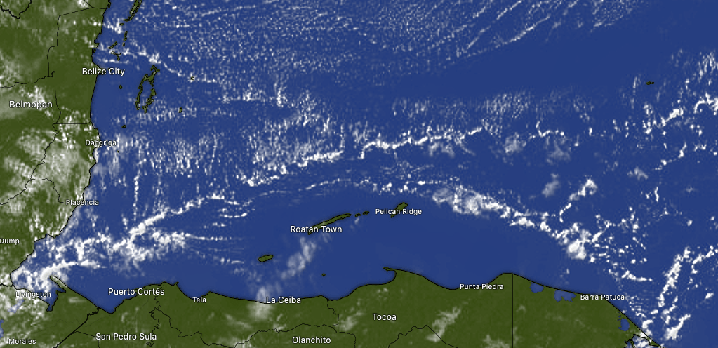
On satellite at 8:30 a.m. we can see a few clouds and a shower here or there. There’s a possibility of a small shower, especially before noon, but most of us should stay dry. There’s a decent chance of overnight showers that could extend into early morning tomorrow. As the week goes on though, things should get even drier, with the end of the week and the weekend looking quite sunny.
Wind and Galaxy Wave forecast: Buoys are showing 2 foot seas this morning, but to be honest the sea looks more like 1 foot to me. We will be quite calm today through Wednesday before the trade winds pick up a bit for the end of the week.

This week will be great for a ferry ride among the islands or to the mainland. Don’t forget to download your Roatan Ferry Galaxy Wave app on Apple App Store or Google Play.
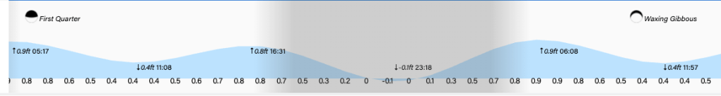
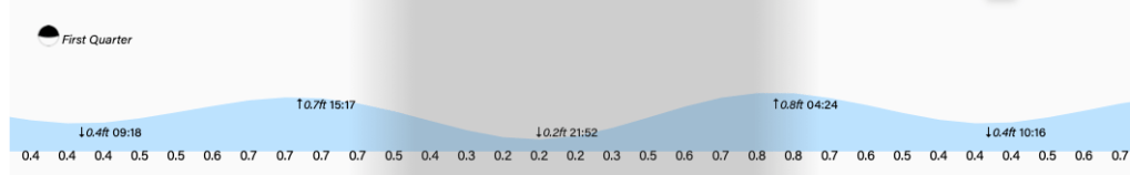
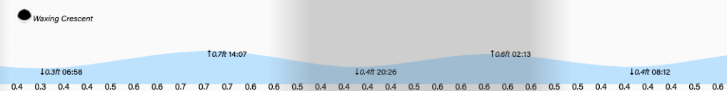
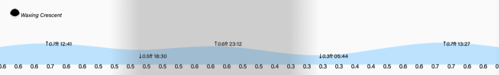
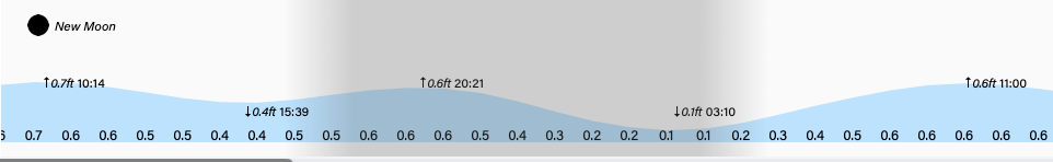
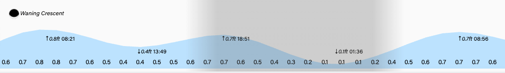
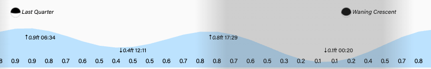
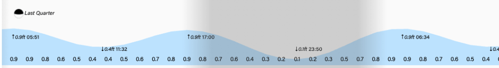
Low tide will be quite low at 11 p.m. Have a great, and safe, Sunday!