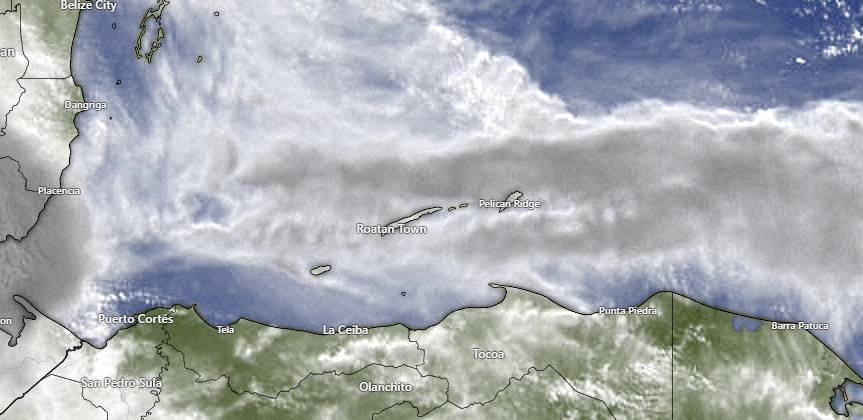
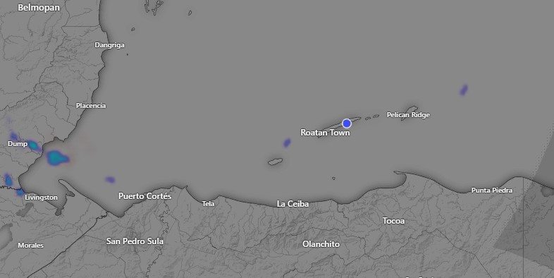
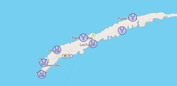
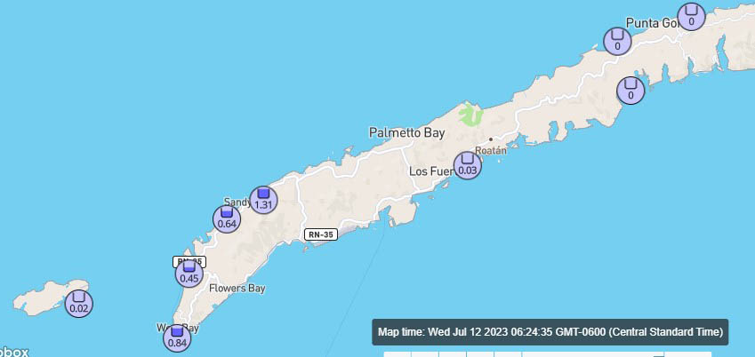
For much of the night the rain was teasing us to the north, but we finally got some rain to come over the island around 4:30 a.m. giving West End half an inch.
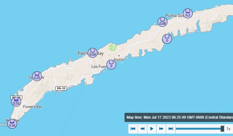
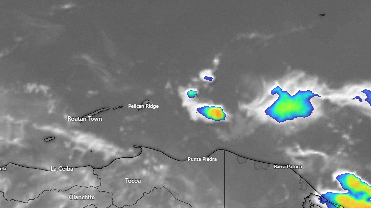
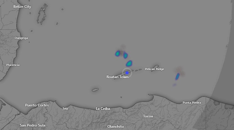
Several other locations got rain, but unfortunately for us, we’re still dry on Jonesville Point. At 7 a.m. most of the rain is well to our north, but there is the possibility of a small shower through mid-morning.
Rain chances tonight are pretty small, but they get better Tuesday night into Wednesday morning and much better Wednesday night through Friday or maybe Saturday. Thursday and Friday we could even have some midday or afternoon showers.
Winds will be from the east northeast at 10-20 mph and seas at 2 feet for much of the week ahead. Low tide is 2:45 p.m. Have a great week.