July 27, 2023: Good morning Bay Islands. Some clouds and perhaps some showers are to our north. There is a small chance of a shower through midmorning, but most of us will stay dry the rest of today.
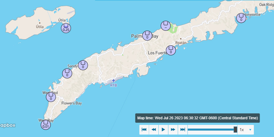
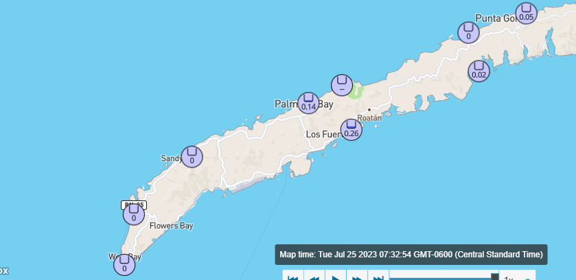
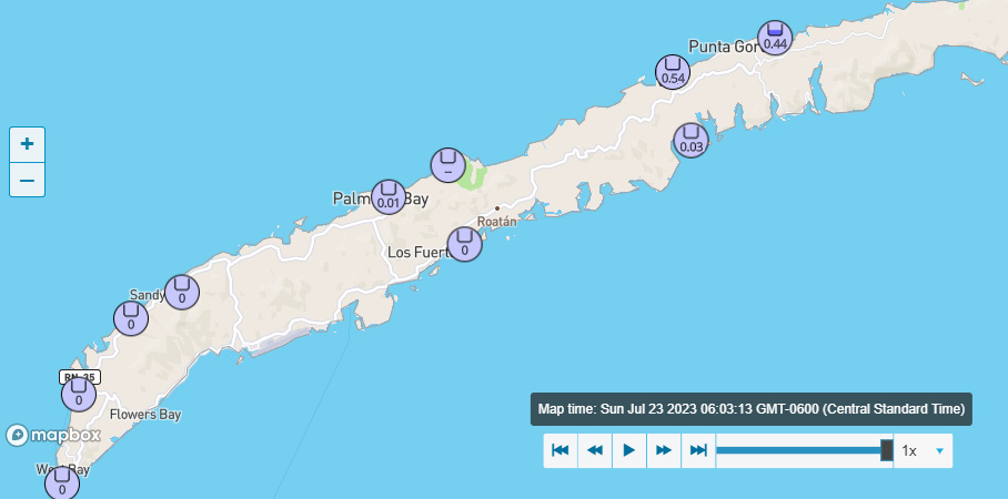
The rain the fell overnight mostly happened just after midnight. We wake up to light and variable winds and seas 1-2 feet. Those fairly calm winds and seas will last through tomorrow morning.
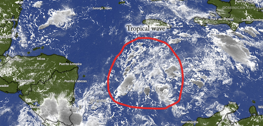
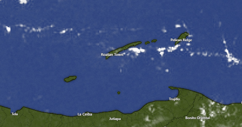
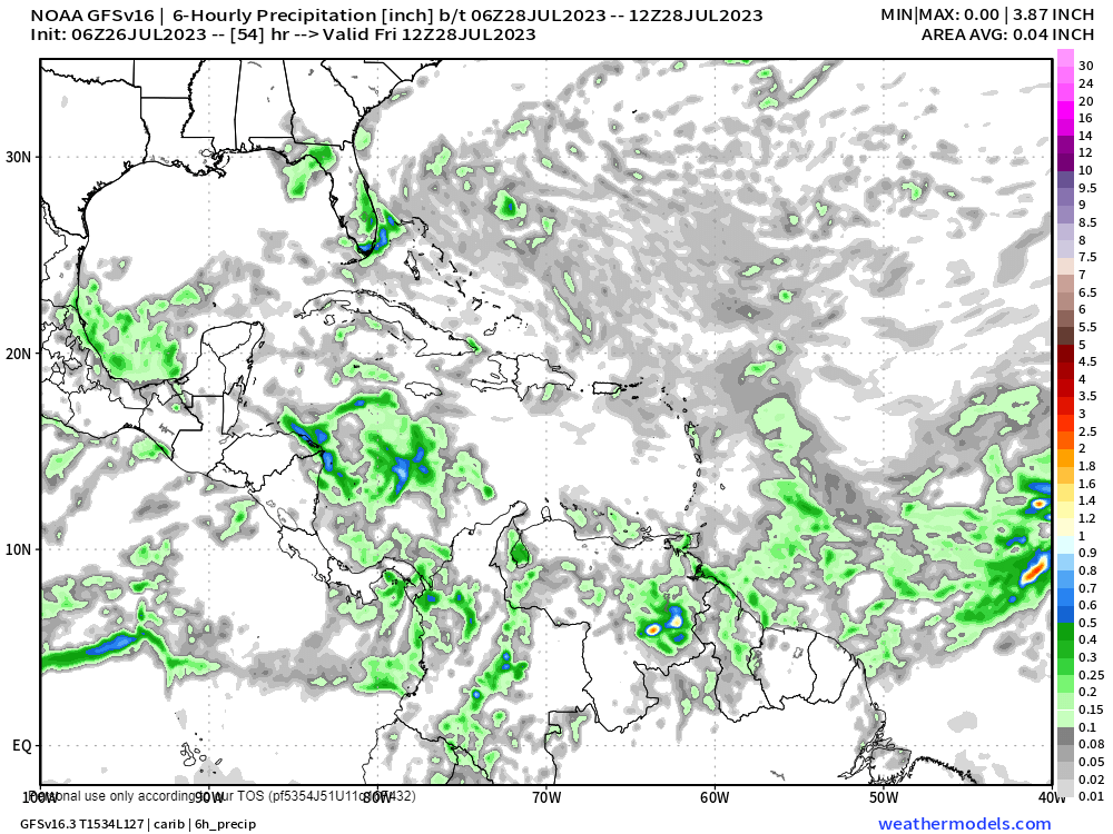
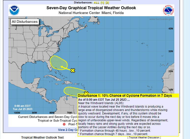
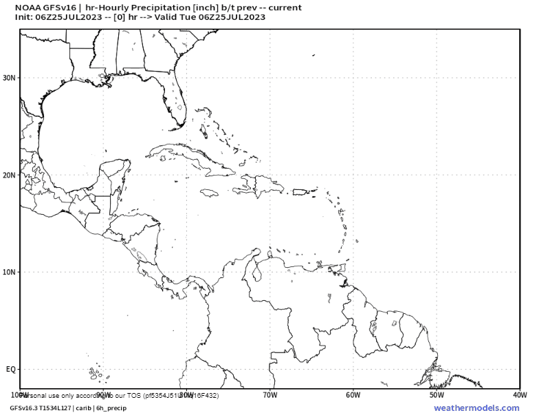
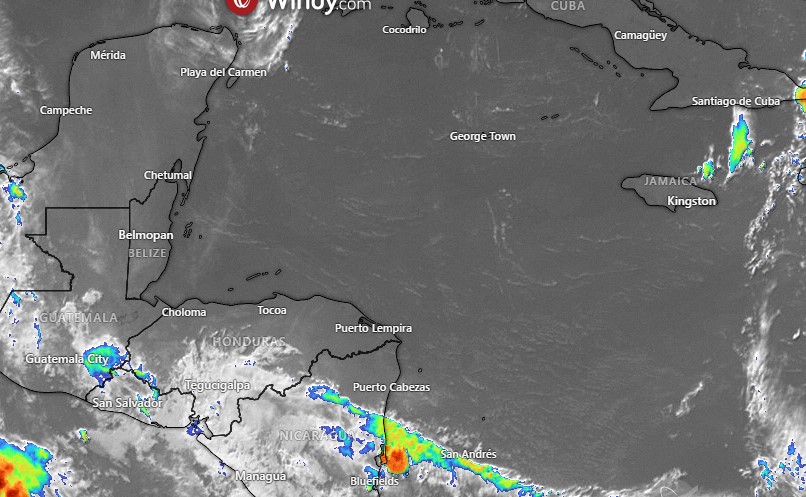
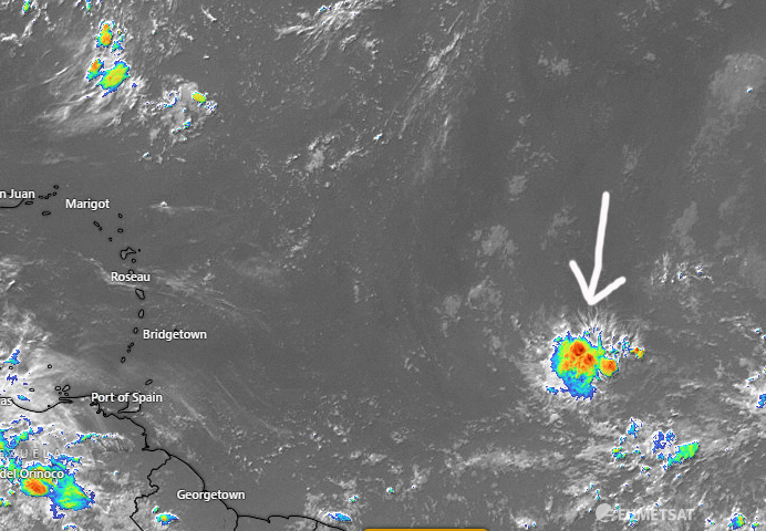
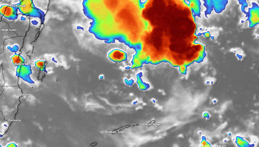
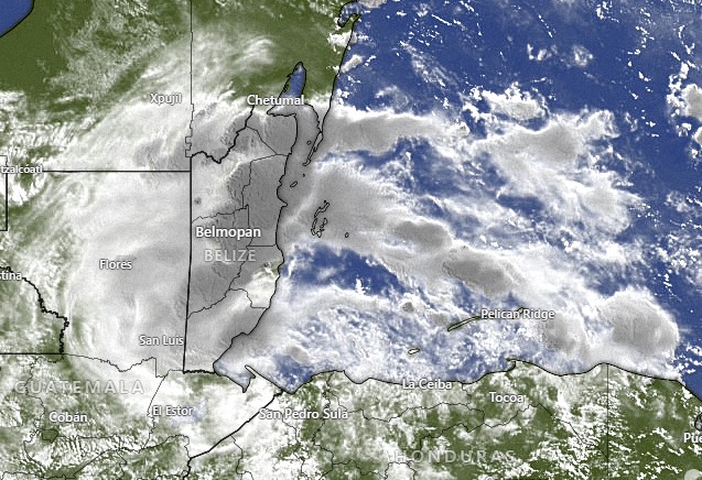
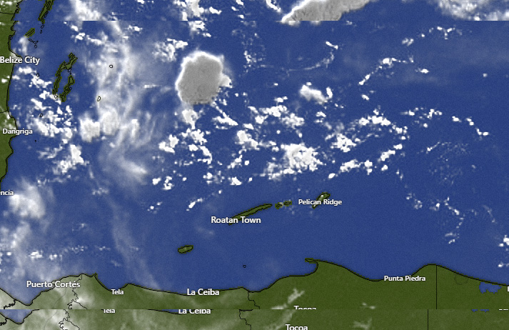
As you can see in the satellite image, our tropical wave is now in the central Caribbean, just south of Jamaica. Tomorrow morning we will have a small chance of a morning shower, but this wave should move in Friday afternoon. The greatest chance of showers will occur from about midday Friday to midday Saturday, though showers might linger Saturday afternoon. Between midday Friday and midday Saturday, some of these storms will likely have thunder and gusty winds, so be careful. Most of the models give us around an inch through this period. Starting Saturday night we will get back to the scattered showers, primarily in the overnight and early morning, like we have had the past week. Low tide is 10:30 a.m.

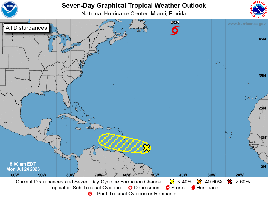
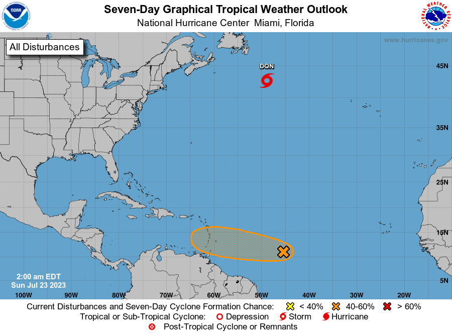
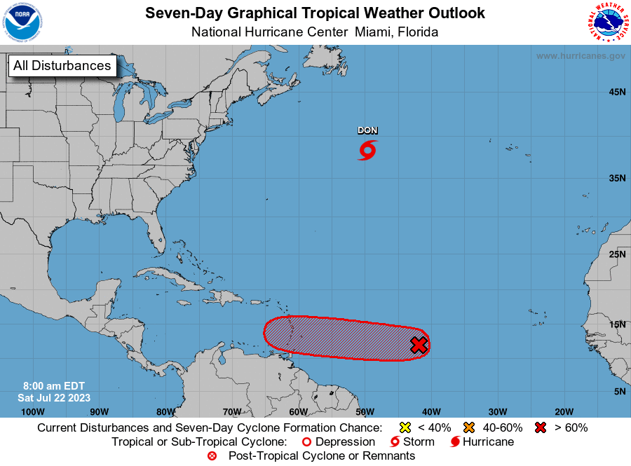
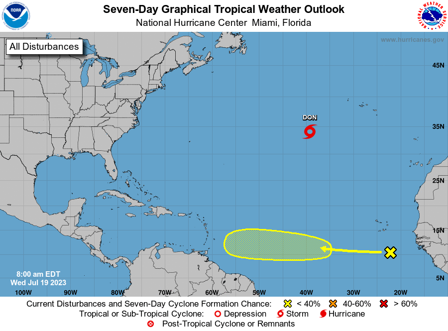
There is another tropical wave in the Atlantic, but right now it is forecast to turn to the north before entering the Caribbean. Have a great Thursday!