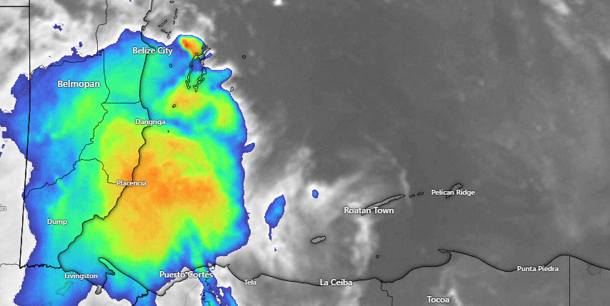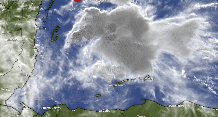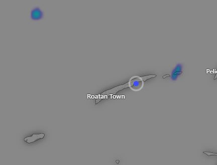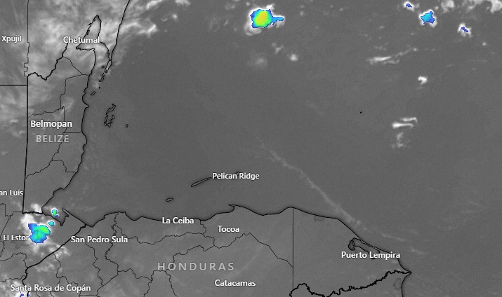
Aug. 5, 2023: Good morning Bay Islands. As you can see in this mornings satellite, skies are clear. The weekend will be mostly sunny. We will start getting more clouds on Monday, but rain chances will be low, about 20 percent and even that chance is mostly overnight. It looks like a pretty dry week ahead.
Winds this morning are 15 mph from the east and seas are 3 feet (1 meter) on the south side and 2 feet on the north side. Winds will stay in the 12-17 mph range and seas at 2 feet for the weekend and the early part of next week.
Lowest tide doesn’t come until around 7 a.m. tomorrow.
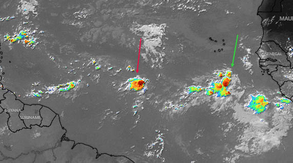
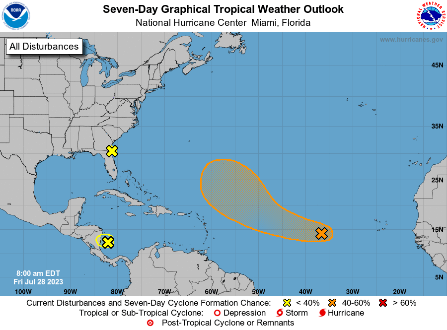
Yesterday I pointed out the tropical wave with the red arrow. There is another tropical wave behind it coming off the coast of Africa (green arrow). Both of them look weaker than they did yesterday due to dry air in the upper atmosphere in the Atlantic. We’ll continue to keep an eye on them. Have a great weekend.