Special forecast for Boat Parade for Sunday evening: I have received a request to do a special wind and wave forcast for a parade of boats that is scheduled for Sunday evening starting at 5 p.m. on the southeast side of the island (Jonesville, Calabash, Port Royal area). I know that Sunday is the day that there is a norther coming and there’s a lot of concern about how the waves will be for the parade. There are two things working in the favor of the parade.
1. The winds are supposed to be at their windiest Sunday morning.
2. The parade is on the south side inside the reef, the most protected area of the island in a norther.
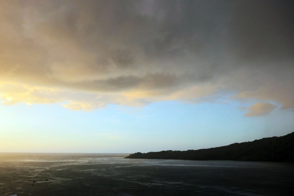
A lot of our recent northers have been from the northeast which has meant more waves on the south side. But this one should be from the NORTHWEST, which offers more protection on the south side.
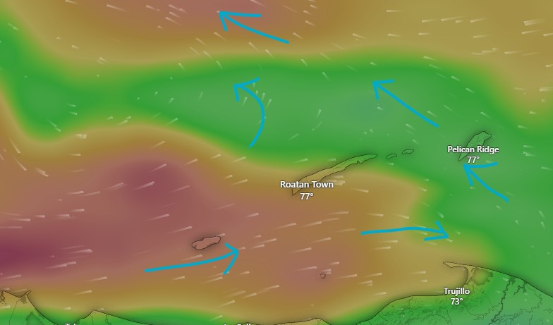
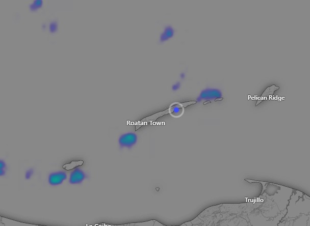
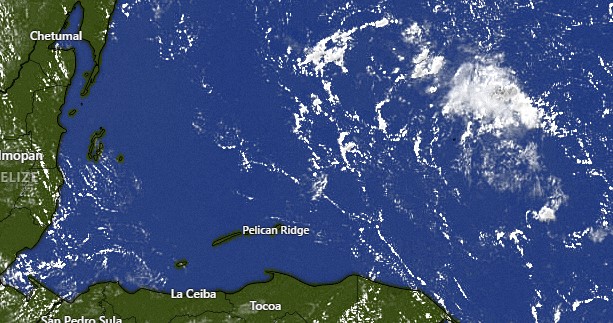
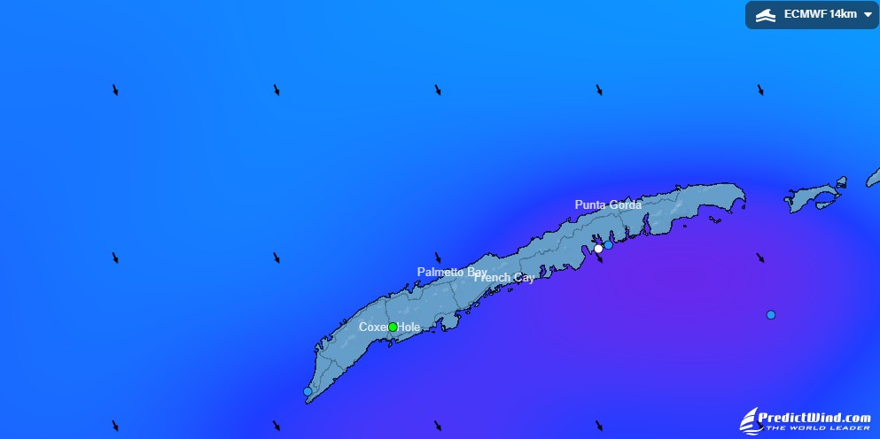
I am posting the wave map from PredictWind for 5:40 p.m. Sunday. The blues on the north side indicated waves 4-5 feet. The purples on the south side of the island indicate the wraparound waves we’ll receive on the southside, generally 2-3 feet. On top of that the wave maps don’t adequately reflect the protection the reef provides from waves, so for the period from 5-8 p.m. when the parade is scheduled, we’re probably talking about 1-2 foot waves inside the reef and 2-3 feet outside. Of course, the winds are calming as the evening goes on, so 5 p.m. will be the waviest and 8 p.m. the calmest. These forecasts get better as we get closer to the event, so we’ll keep our eyes on any changes as we get closer to the event. As always please wear your lifejacket just to be on the safe side.