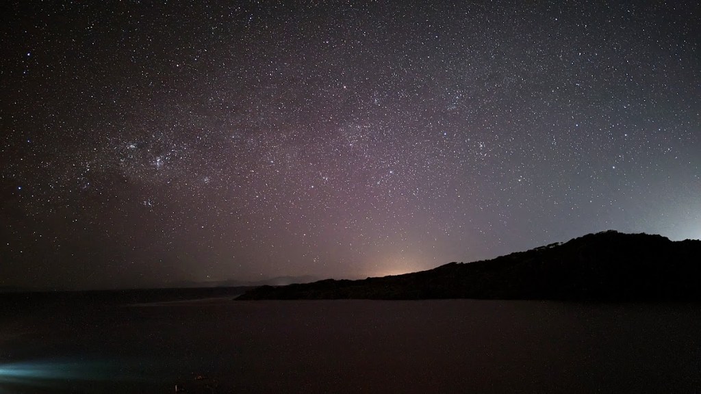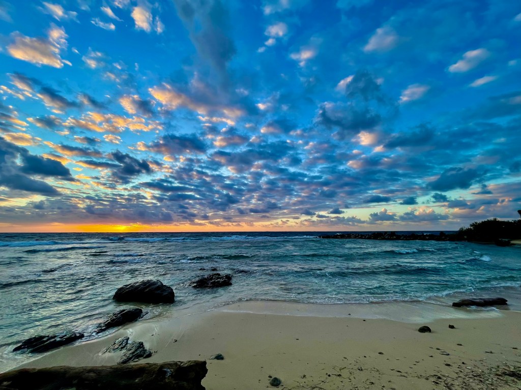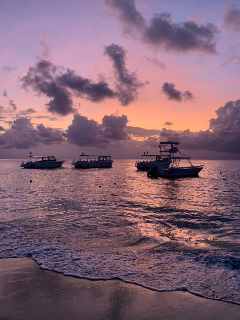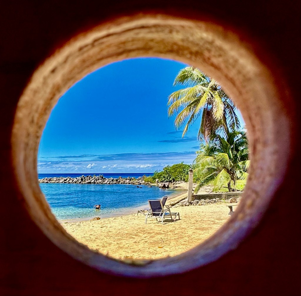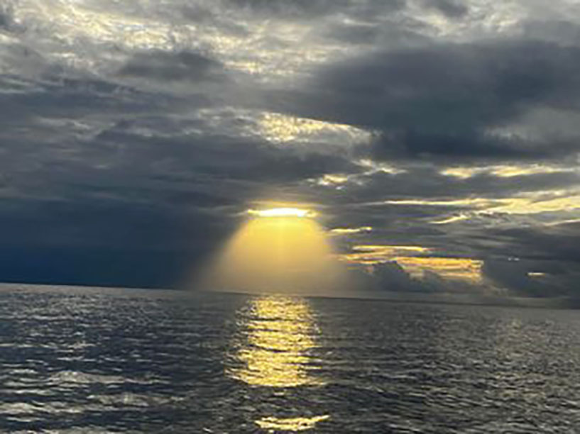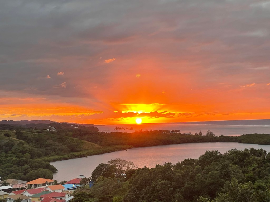
Good morning Bay Islands. David and Heather Granada send us this picture from the hill overlooking Politilly Bight at sunset. I love that this weather picture includes one of our communities. Don’t forget that the five photos with the most likes get into the poll on Feb. 29 to compete for a $50 La Sirena de Camp Bay, Restaurant & Bar gift certificate. Don’t forget to get your Roatan Weather calendar when you stop by La Sirena as well (or Hangover Hut or CC Printing). When you send me your photo at bookmybio@gmail.com, tell me the name of the photographer and the location of the photo.
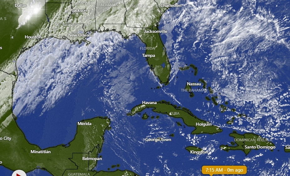
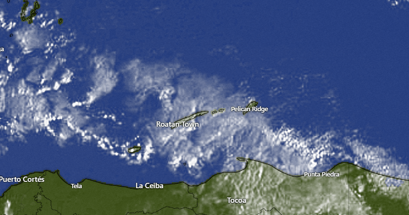
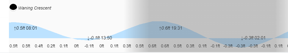
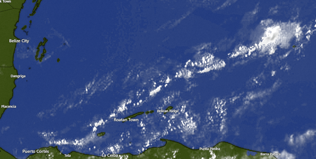
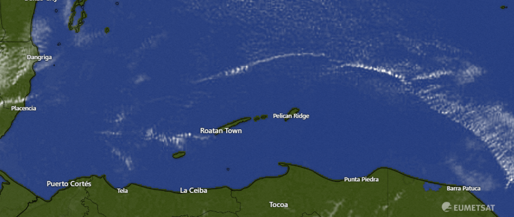
Rain forecast: We have clear skies over our islands this morning and that will last through today and tomorrow with dry conditions. We can see the cold front cutting through the southeast US headed our way, but it will weaken greatly. We will have a good chance of rain Tuesday and then scattered showers Wednesday and Thursday. But total precipitation should only be a half inch to an inch, maybe two inches toward Utila, so it won’t be raining all the time, just passing showers. Things dry up for the end of next week into the weekend.
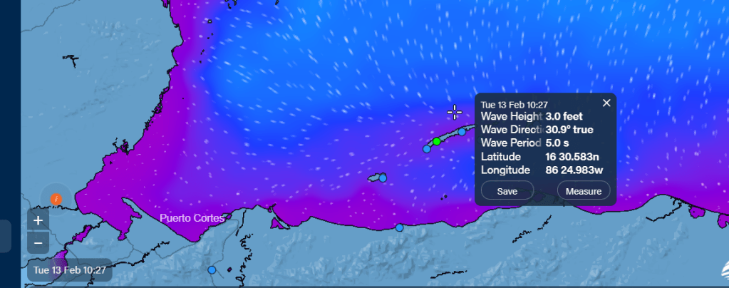
Wind forecast: We have brisk east/southeast winds today bringing 4-5 foot seas on the south side. Winds will get calmer tomorrow from the east 7-12 mph though seas will still be 3-4 feet on the south side. Tuesday winds come from the north, but only around 10-15 mph, giving us 2-3 foot seas on the northside and maybe 3-4 foot seas for Thursday morning.
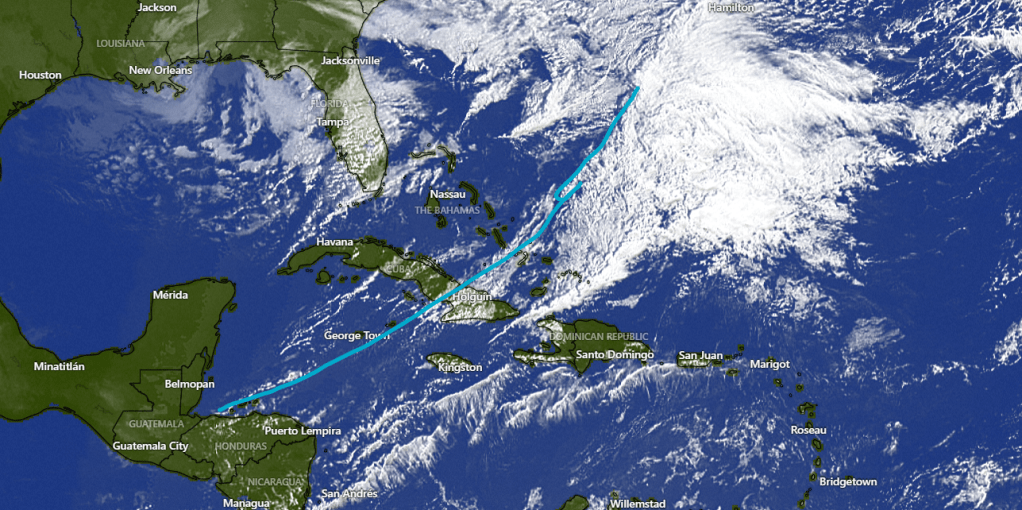
Long-range forecast: We are still looking at a stronger norther coming for next Sunday night into Monday Feb. 19. But there is disagreement about how strong. The GFS is giving us quite a strong norther with high winds and rains, but most of the rest of the models have this weaker. As we get toward the end of rainy season, I tend to agree with the weaker models, but we’ll keep an eye on it.

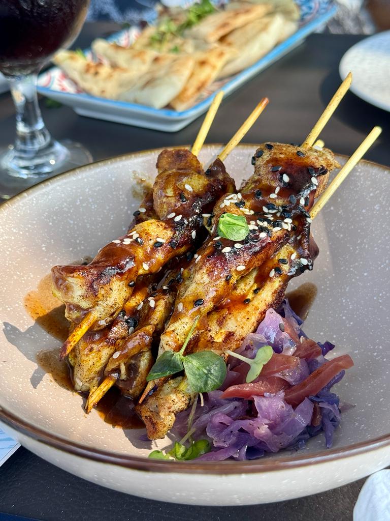
From Melissa Dixon, manager at Ikigai: “Rediscover romance at Ikigai this Valentine’s Day! Indulge in an exquisite dining experience with our specially curated menu for lovers, meticulously prepared by the renowned Chef Robby Molina. As one of the top 100 chefs in the world, Chef Molina’s culinary expertise promises to elevate your Valentine’s Day celebration to new heights.
Nestled in the historic Romeo’s building in French Harbor, Ikigai offers a picturesque setting with a commanding view of the harbor, setting the stage for a truly romantic evening. As the sun sets at 5:45pm, immerse yourselves in the beauty of the moment and savor the culinary creations of Chef Molina.
This Valentine’s Day, create unforgettable memories with your loved one at Ikigai. Book your table now and let Chef Molina’s extraordinary talents and the stunning backdrop of the harbor make your evening truly magical.”
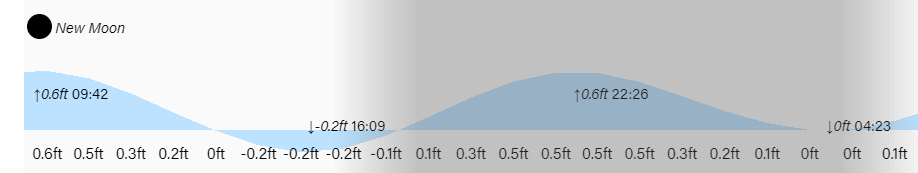
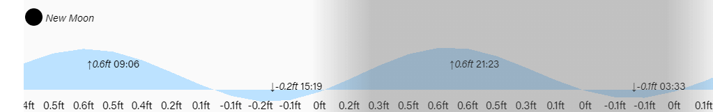
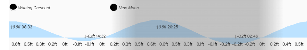
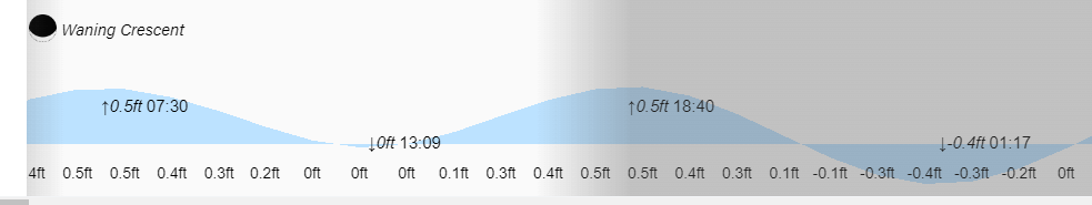
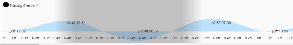
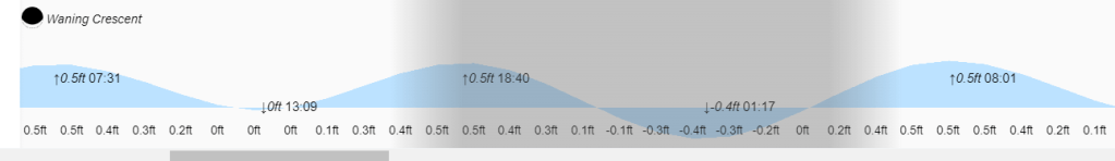
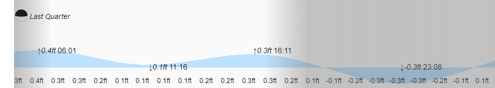
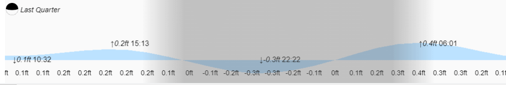
Low tides are 4:10 p.m. and 4:20 a.m. Have a great Sunday!