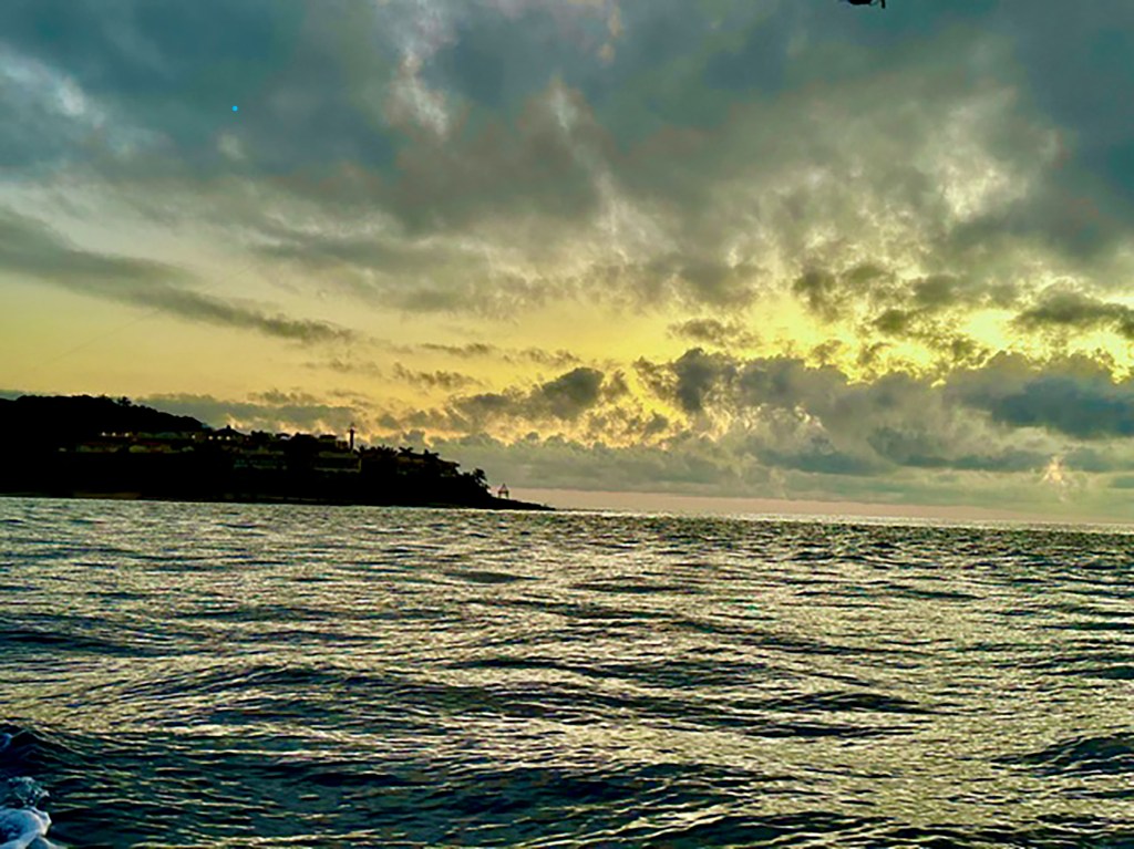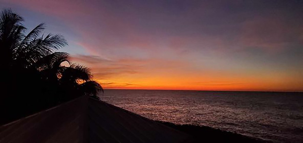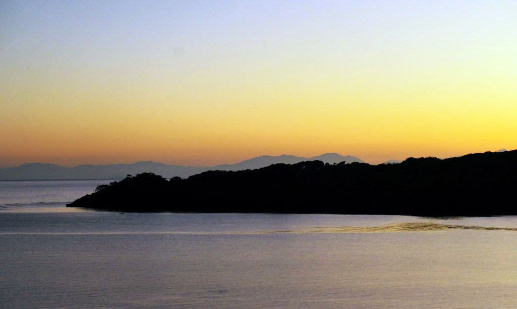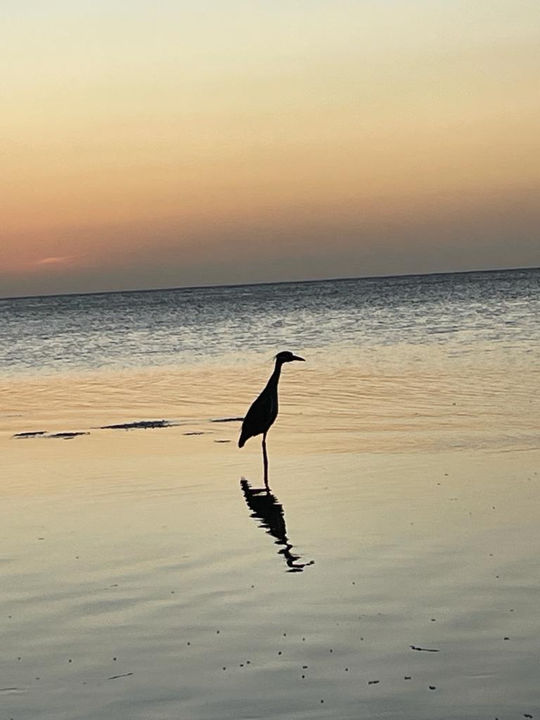
Good morning Bay Islands. Our photo of the day comes from Marcela Z. and shows a lone garza (heron) on the beach at Sandy Bay. I’m pleased to announce that Carniceria Rosita is generously offering a prize of $50 worth of their premium meats to the winner of the Photo of the Month contest. The five photos with the most likes will compete in a poll on Jan. 31.
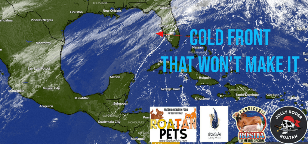
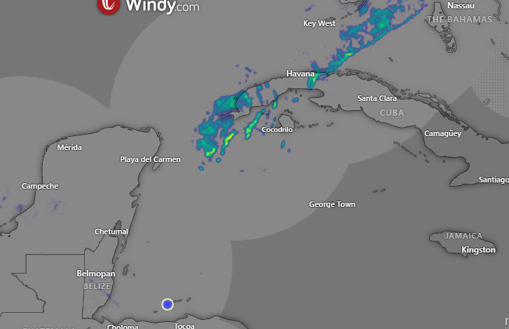
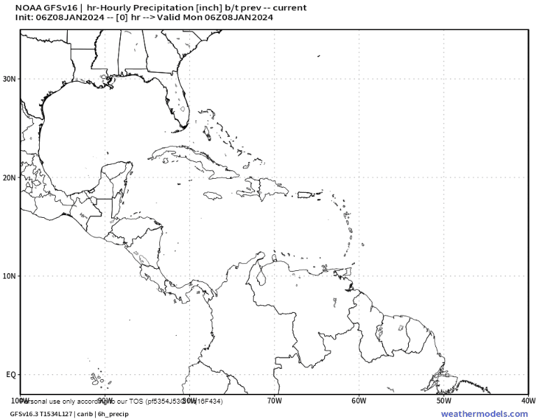
Rainfall forecast: We will be dry today, but we will finally get a good chance of rain (60%) tomorrow, especially around midday. Most models say about a quarter to half an inch of rain. Rain chances continue into tomorrow night. We should dry out Thursday and Friday but rain returns for the weekend.
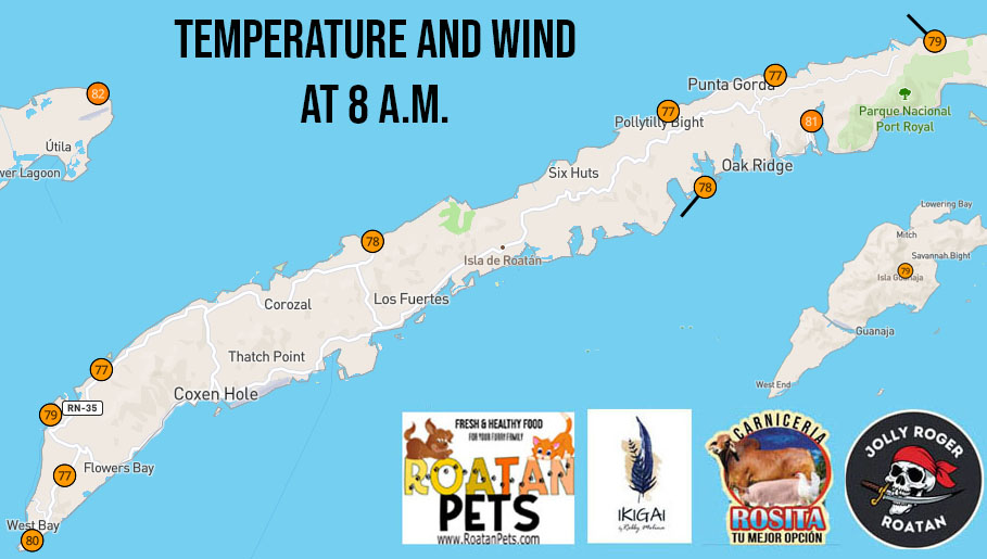
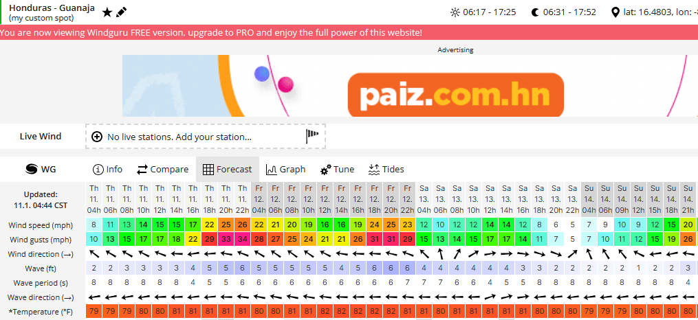
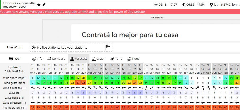
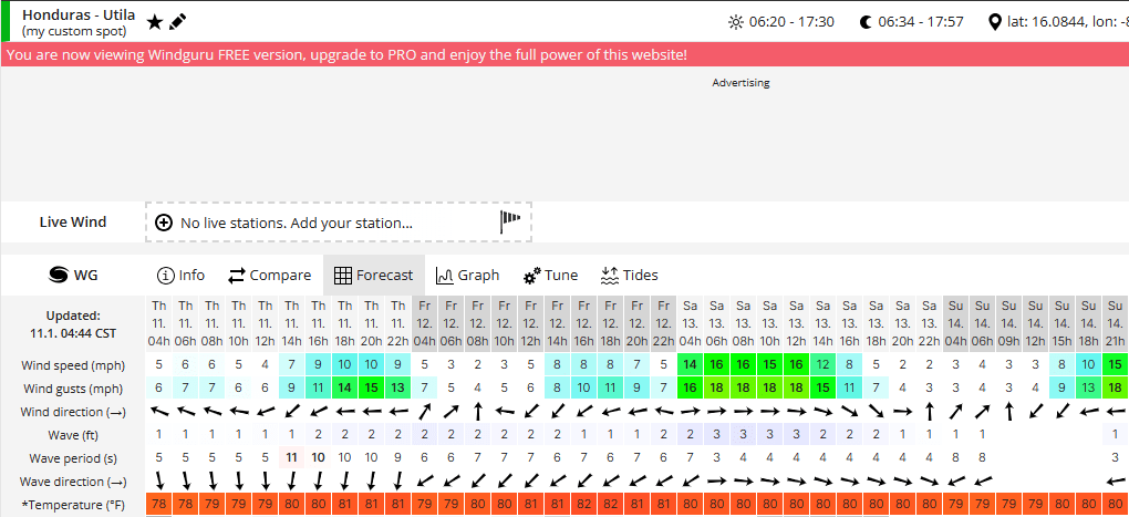
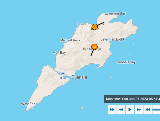
Wind and wave forecast: We start the day with east winds at 15 mph and seas at 3 feet, but we should calm a bit to 5-10 mph and 2 feet later this afternoon. Calmer conditions continue into tomorrow morning. Tomorrow evening into Thursday east winds will be 15-20 mph and seas up to 4 feet. Sunday into early next week looks windy from the east.
Don’t forget to get your Roatan Weather Calendar at Hangover Hut and La Sirena for $14 or 350 lemps. If you want to pick up at CC Printing in Coxen or Trico in Jonesville Point, contact me here or at 94754406.
I owe Mitch Cummins and apology for misspelling his name (fortunately he says it is a common mistake). What I didn’t get wrong is how healthy and environmentally friendly his dog food is. 10 percent of proceed goes to ROARoatan.
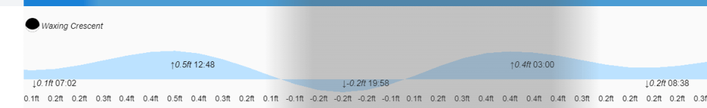
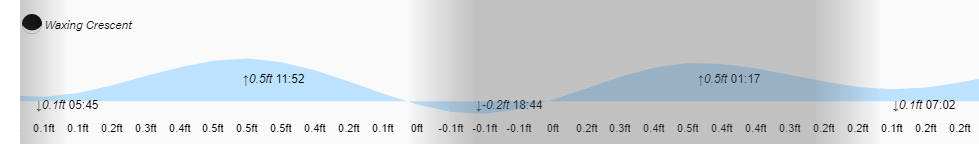
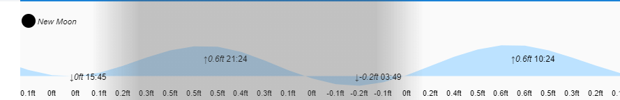
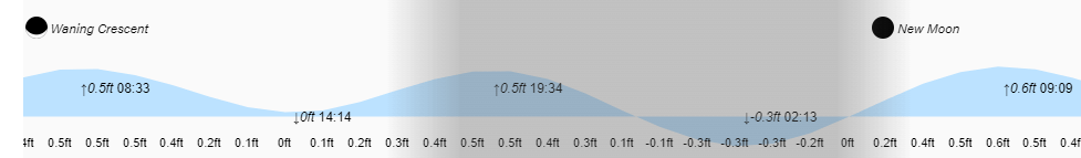
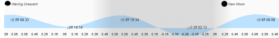
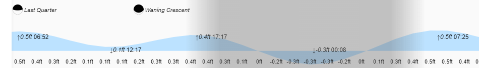
Low tide is 8 p.m. Have a great Tuesday!