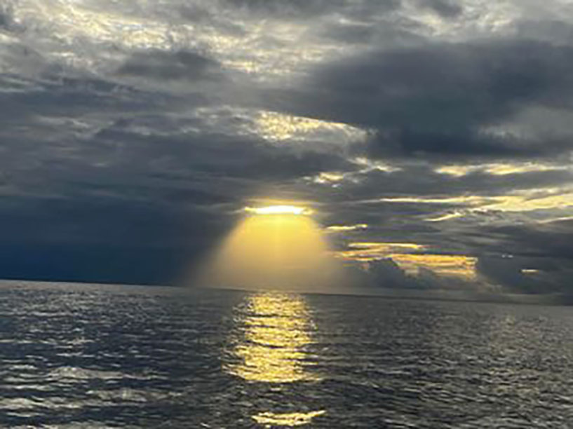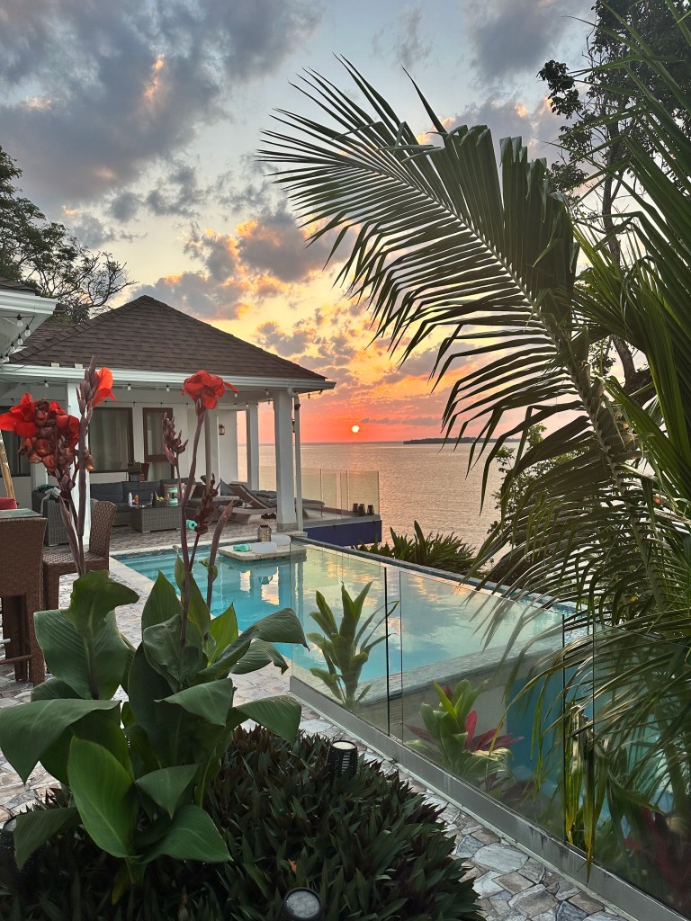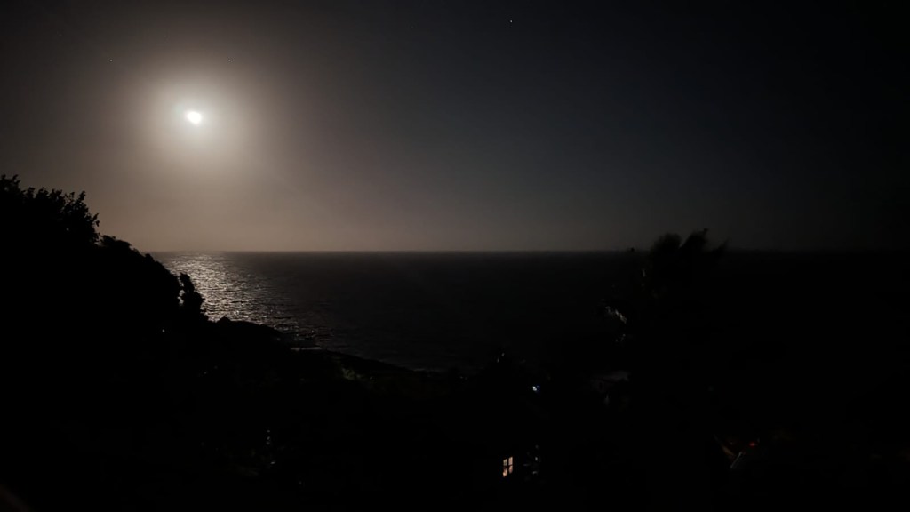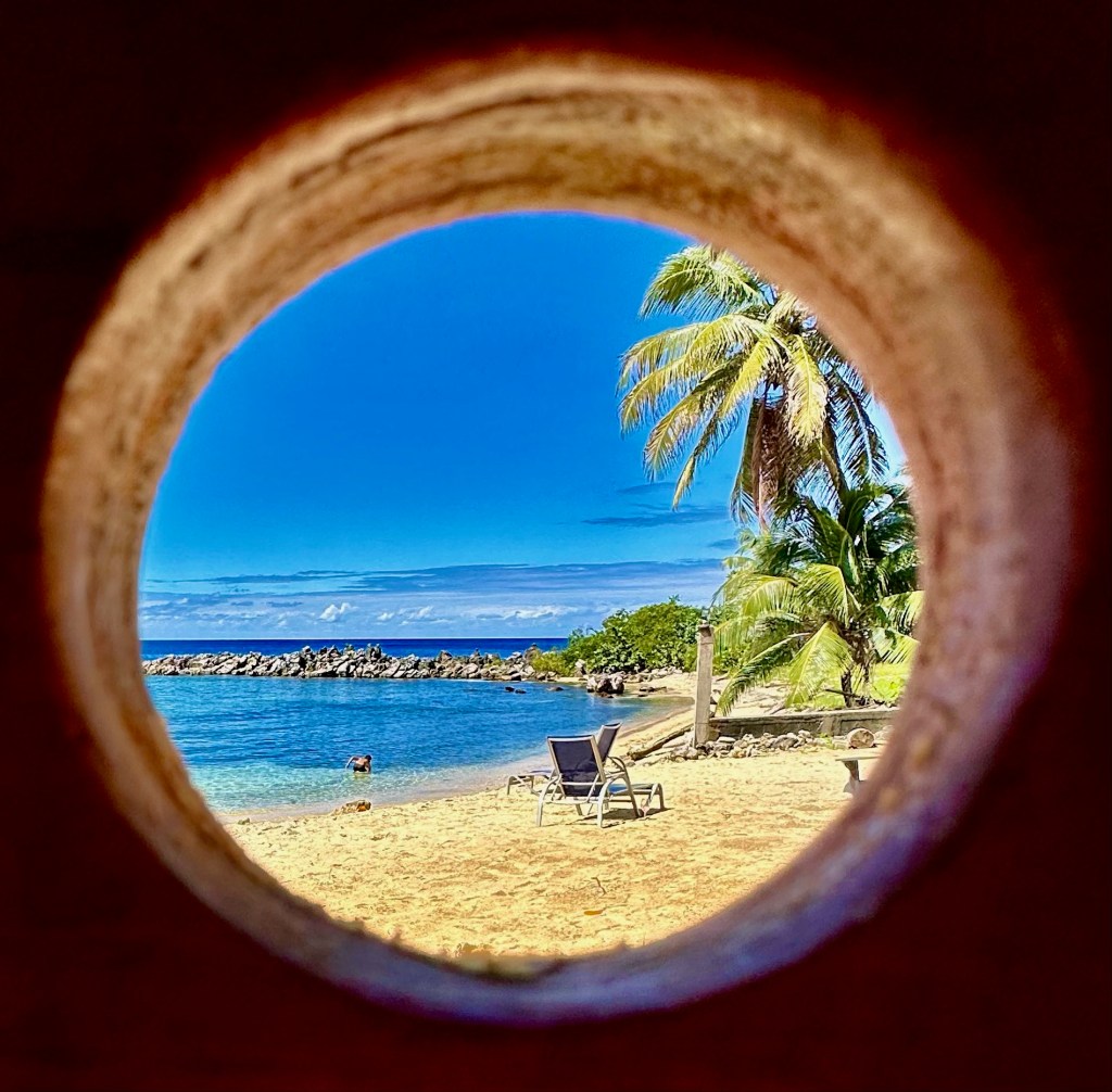
Good morning Bay Islands. Our photo of the day comes from Kelly Kosmin and shows a keyhole view of West Bay. At 7 a.m. things are pretty calm, but they will get windier.
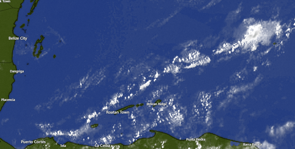
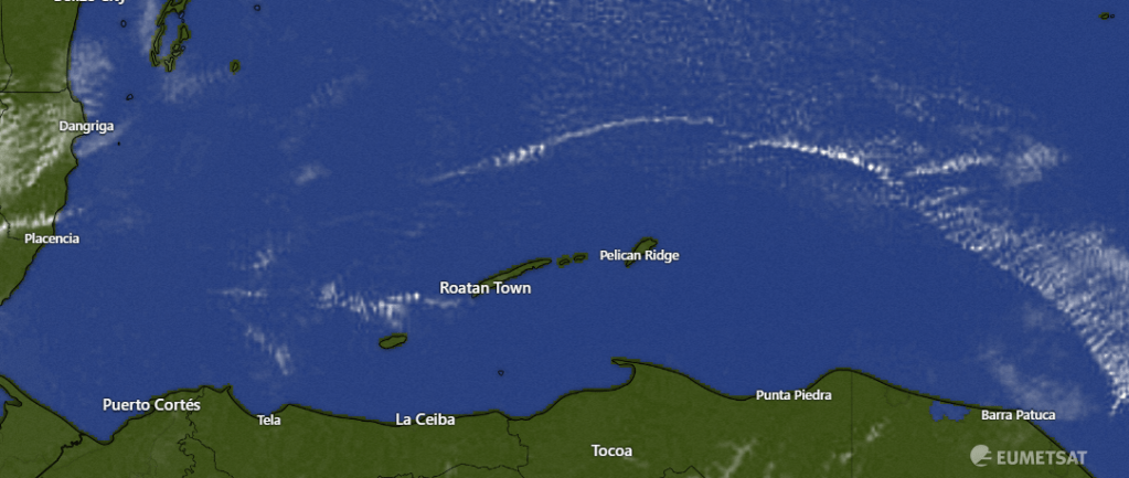
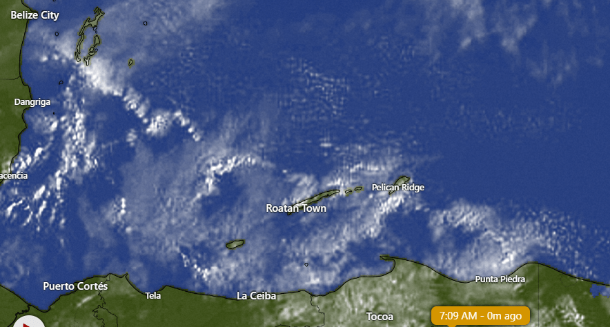
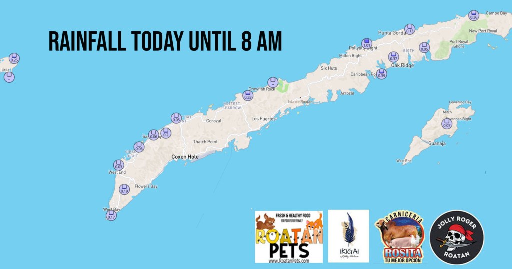
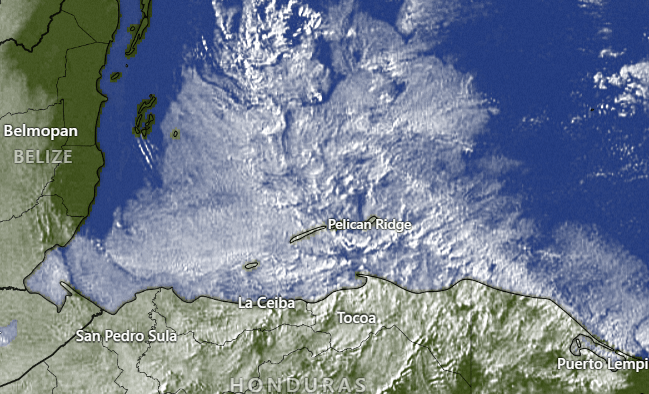
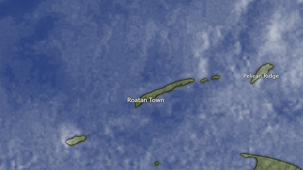
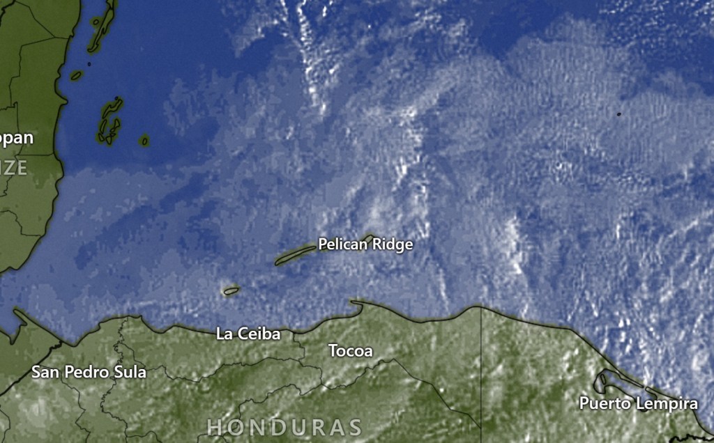
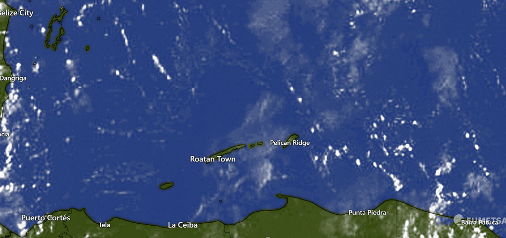
The close up satellite shows a few clouds around, These are moving to the southeast and may have a few showers in them, but overall rainfall amounts should be low this morning and we should be mostly sunny, especially this afternoon.
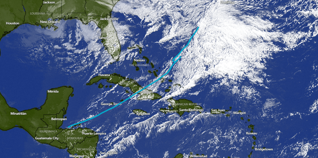
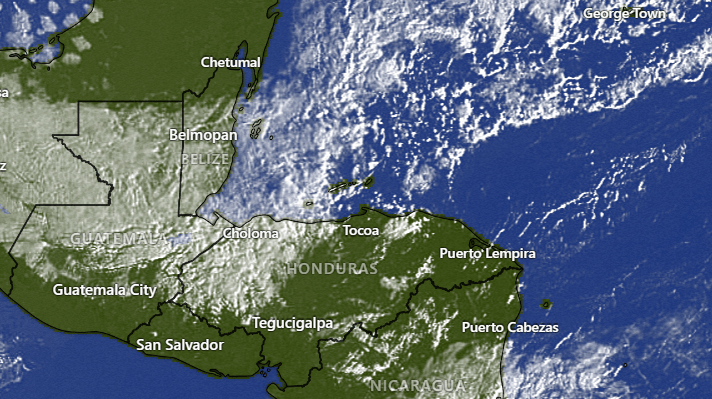
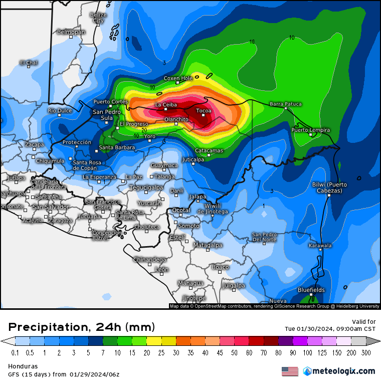
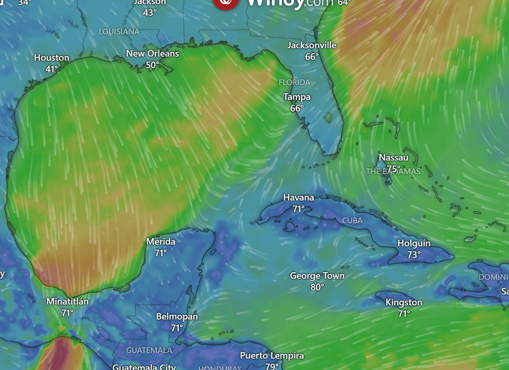
In the wide view, we can see the low pressure system just east of The Bahamas and the cold front behind coming toward us. At 7 a.m. our winds and seas aren’t too bad. In fact the seas are around 1 foot. By 9 a.m. that should change, with north winds 17-22 mph and seas around 4 feet. Tonight and tomorrow morning will be the worst winds, with winds 25-35 mph from the northwest and seas 8-9 feet especially on the north side. They will be a little better tomorrow afternoon with seas to 6 feet. By Wednesday, winds will be fairly calm but seas will still be around 4 feet. Rain chances are 50/50 today, 20 percent tomorrow and 40 percent for Wednesday morning.
Wanted to mention also that we will have cooler temps today through Wednesday, but not as cool as the last norther because we will have more sun. Highs should be around 80.
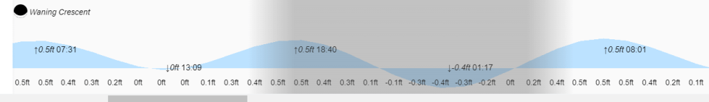
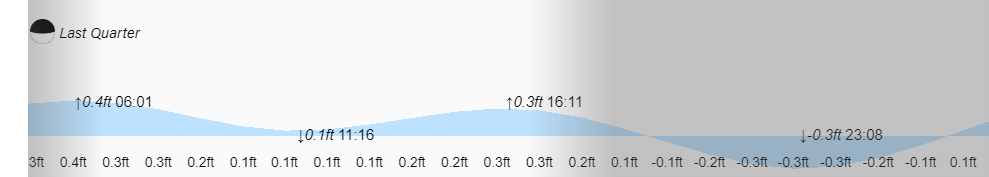
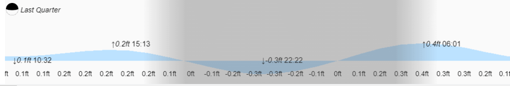
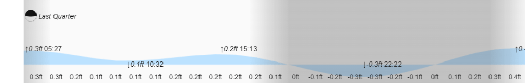
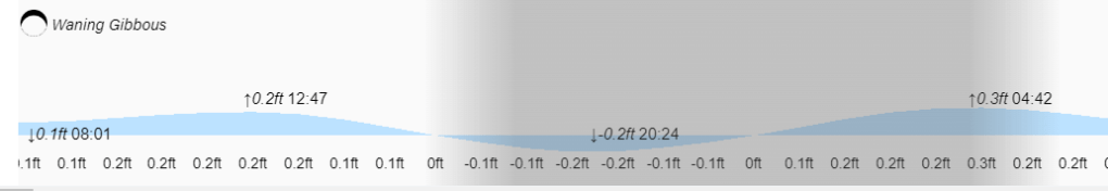
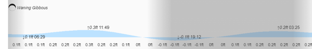
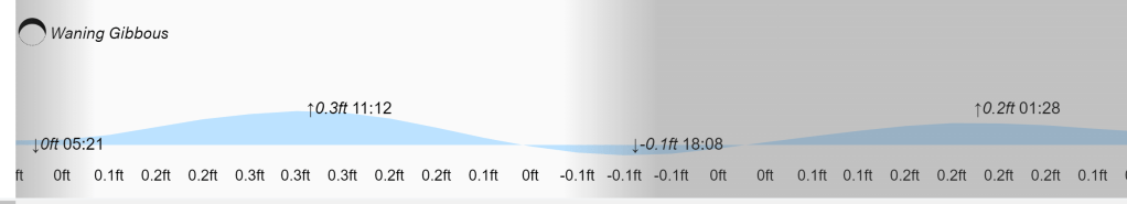
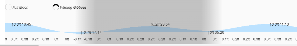
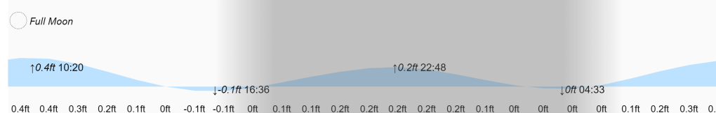
Low tides are 1 p.m. and 1 a.m. Have a great week!