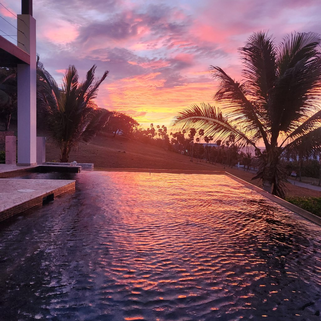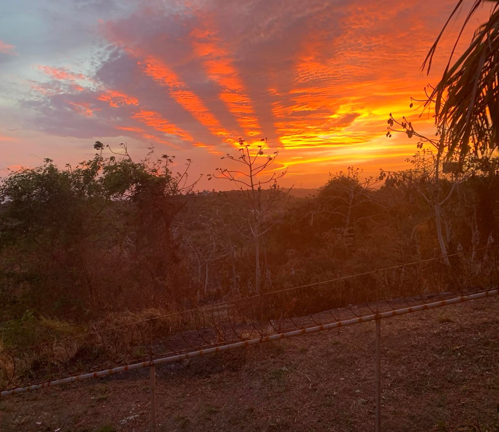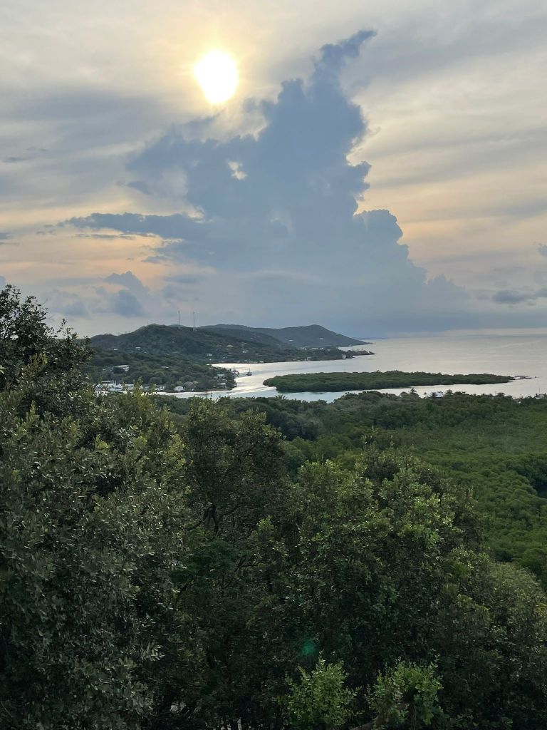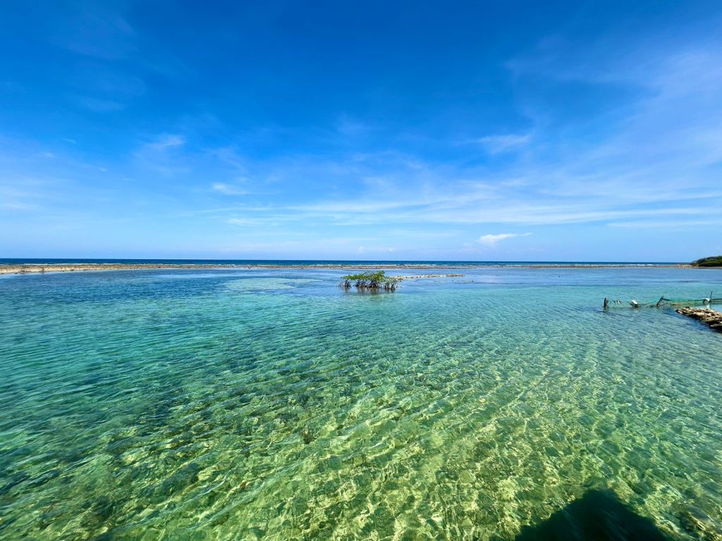
Good morning Bay Islands. This morning’s beautiful shot comes from Elena Gonzalez in Brick Bay. I love the ripples in our clear waters. We’re actually getting a shower in West Bay this morning.
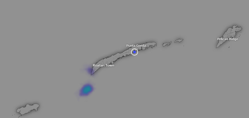
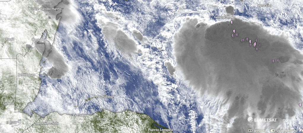
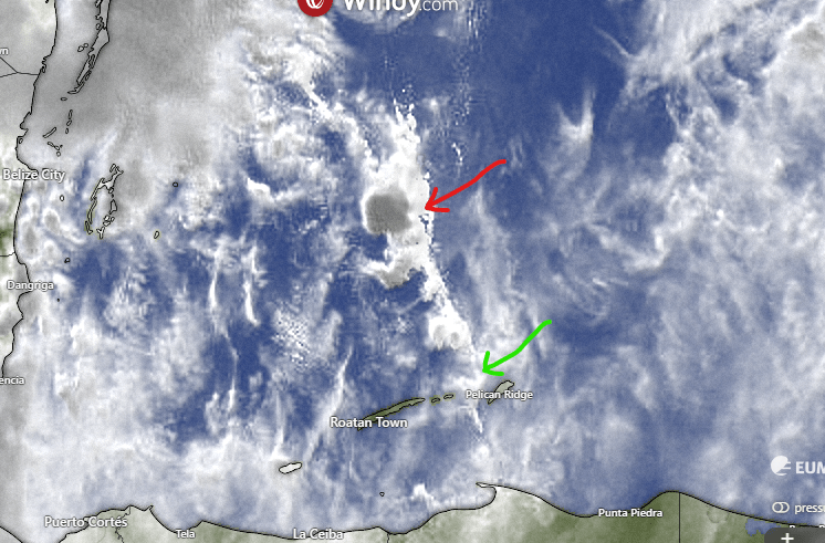
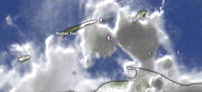
On radar at 7 a.m. you can see a small shower that has brought a quarter of an inch to one location in Lighthouse Estates. Unfortunately this shower is very small and moving slowly to the north, so most of us will miss out.
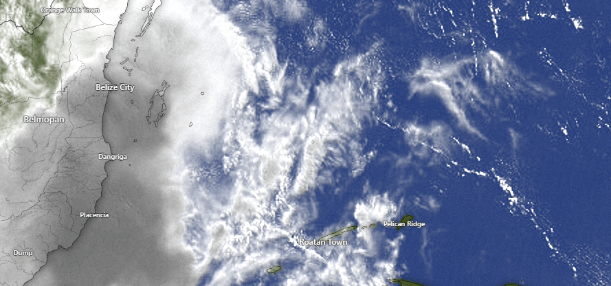
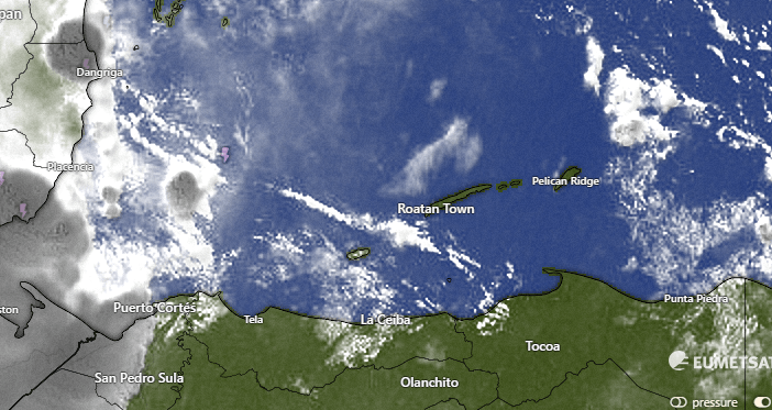
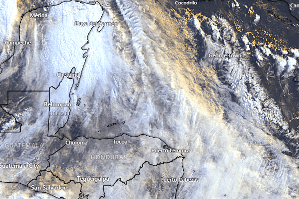
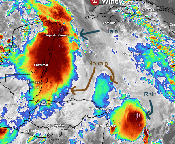
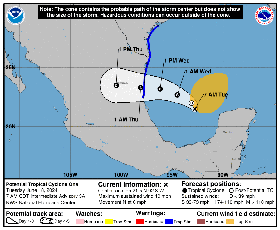
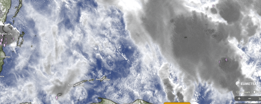
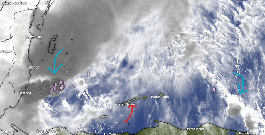
On our satellite we can see the Belize is having most of the fun with thundershowers and we just have a few clouds. We will keep a very small chance of a shower for the early morning, but we will be partly cloudy and mostly dry today and tomorrow. Starting Wednesday evening through the weekend we will have better chances of scattered showers.
Wind and Galaxy Wave forecast: Much like yesterday, we start the day on the east side of the island with 20 mph southeast winds and seas 3 feet on the southside, but those winds get light and turn to the west on the west side of the island and Utila. We will have lighter winds for everyone (except Guanaja who will have 15 mph east winds) midday and afternoon with seas on the south side at 2 feet. Tomorrow winds will be from the southeast at 10-15 with seas 2-3 feet.
All in all seas will be pretty good and they will be great wherever Jolly Roger Roatan takes you for your cruise excursion.
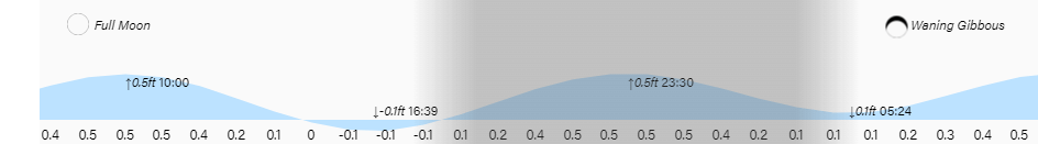
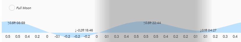
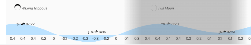
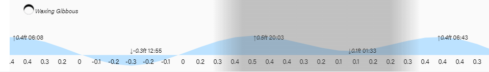
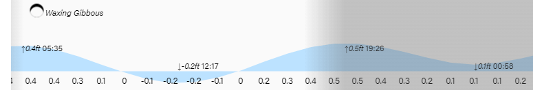
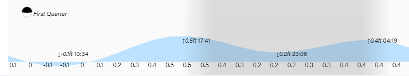
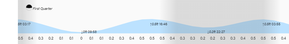
Low tide is 4:40 p.m. as our full moon starts to wane. Have a great week!