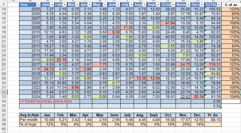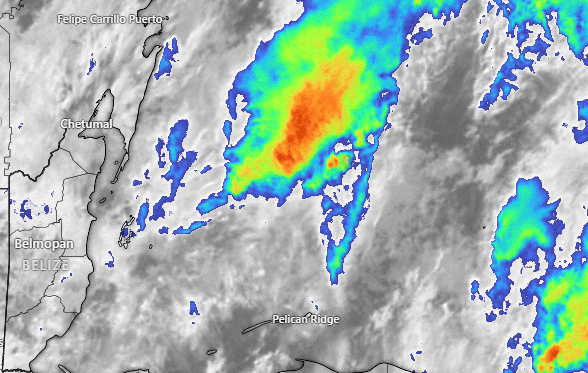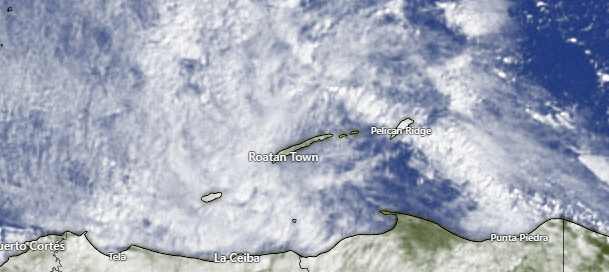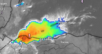
Good morning Bay Islands. We all got a good downpour of rain, mostly 11 p.m. to midnight last night. Rain totals were between .5 and 1.5 inches last night. Things should be drier during the day today, but we have rain in the forecast through Saturday.
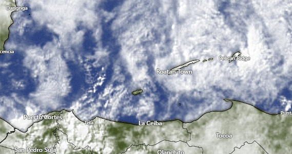
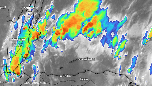
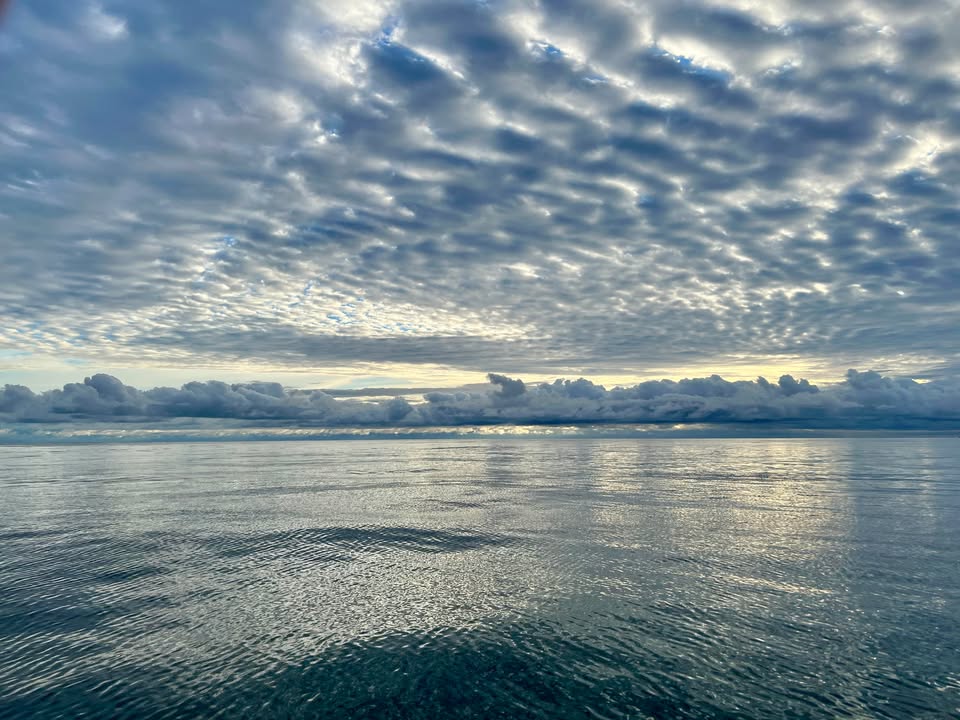
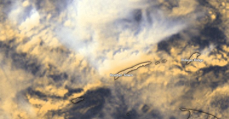
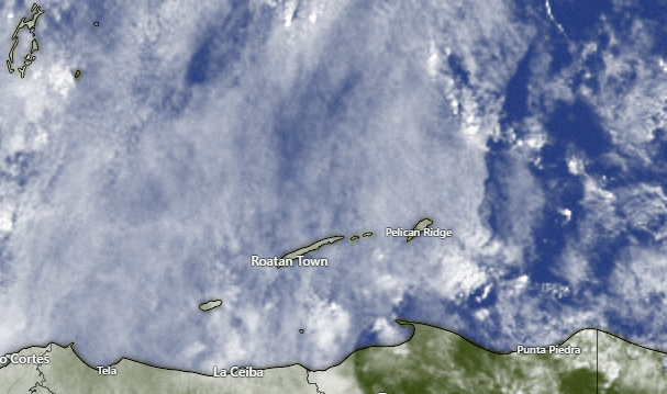
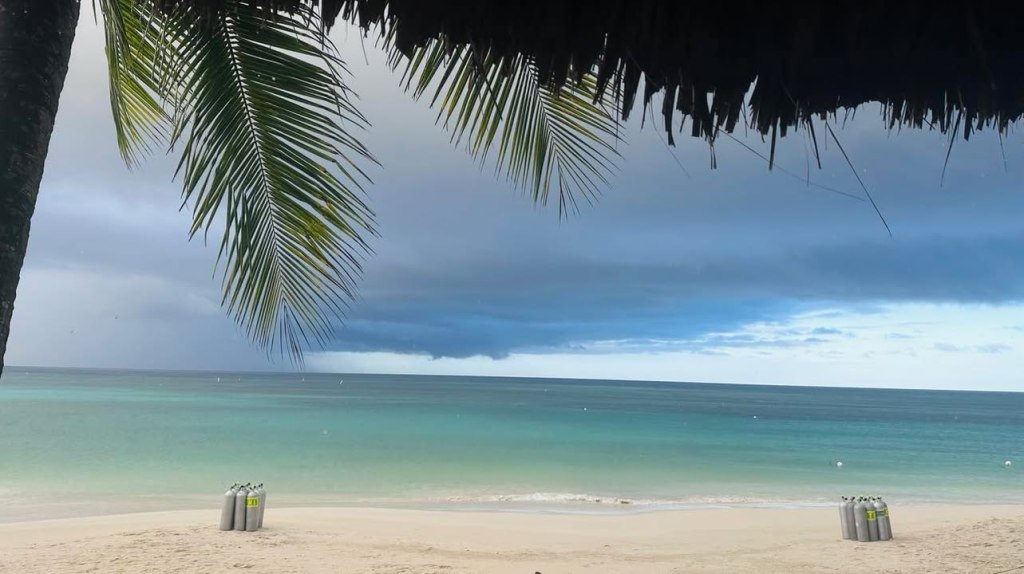
We wake up to mostly cloudy skies. We will have few peaks of sunshine through the day and only a small chance of a shower here or there midday and afternoon. We have a good chance of getting a shower overnight into tomorrow morning. Friday night into Saturday morning we have the best chance of seeing some downpours from the next norther, while the windiest conditions should be Saturday evening into Sunday morning. Next week still looks nice with small daily rain chances.
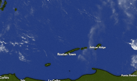
Wind and Galaxy Wave forecast: We wake up to east winds 5-10 mph and seas 2-3 feet. Winds should remain from the east 7-12 mph today and tomorrow, with seas 2-3 feet today and 3-4 feet tomorrow. Saturday winds increase to 15-20 mph from the northeast and seas to 4-5 feet. Sunday calms back down to 3-4 feet and the first of next week looks calmer still, with 2-3 foot seas and the possibility of a small norther Wednesday into Thursday.

If all the holiday hubbub has been ruff on your pooch, give him or her a special treat of Roatan Pets food, specially designed by Mitch Cummins for your canine’s dietary needs.
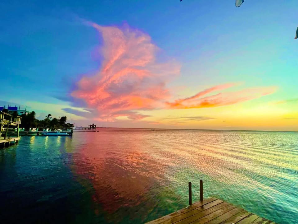
Congratulations to Claudia Quiroz, winner of the December Photo of the Month and a $50 gift certificate to Roatan Oasis (roatanoasis.com).
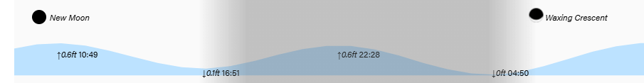
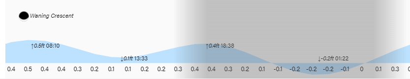
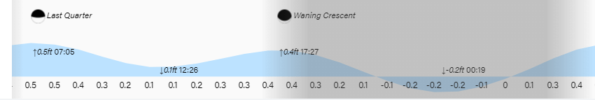
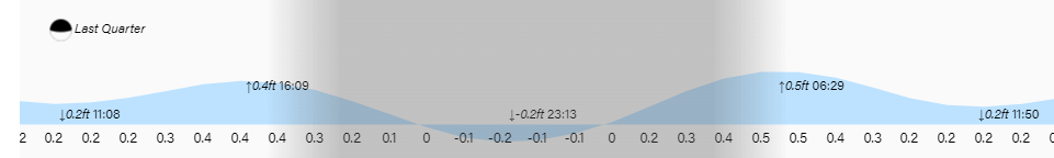
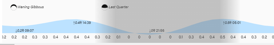
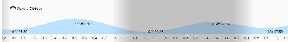
Low tides are 5 p.m. and 5 a.m. Have a great Thursday! And Go Dawgs!