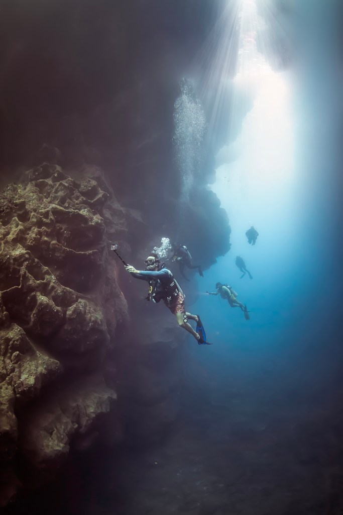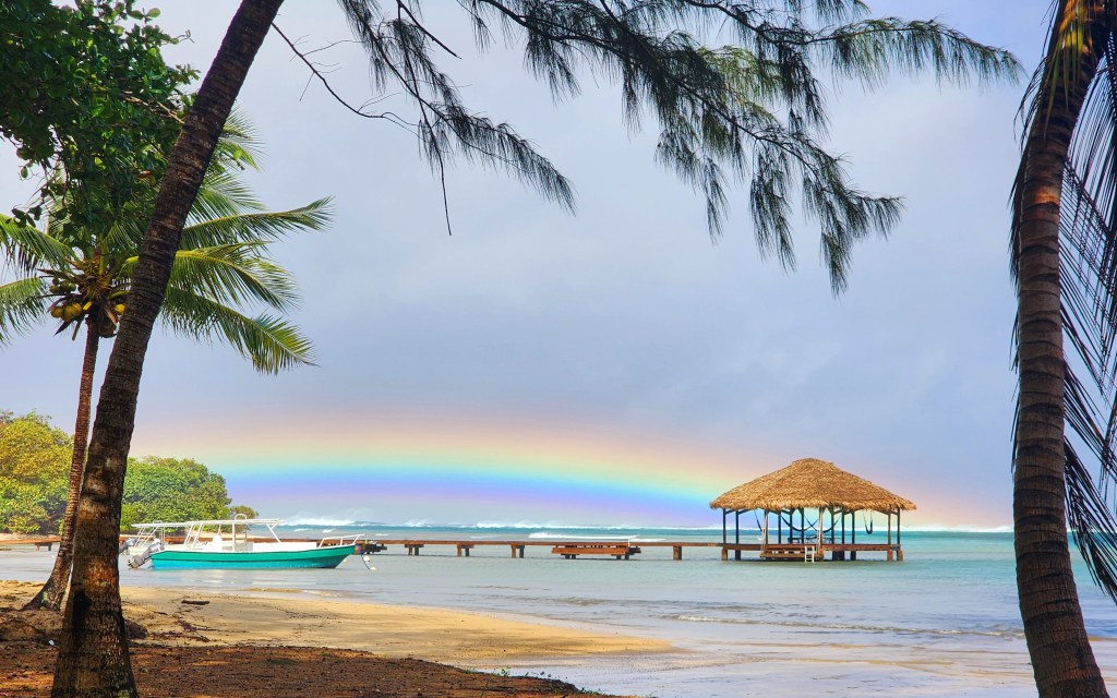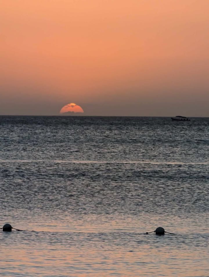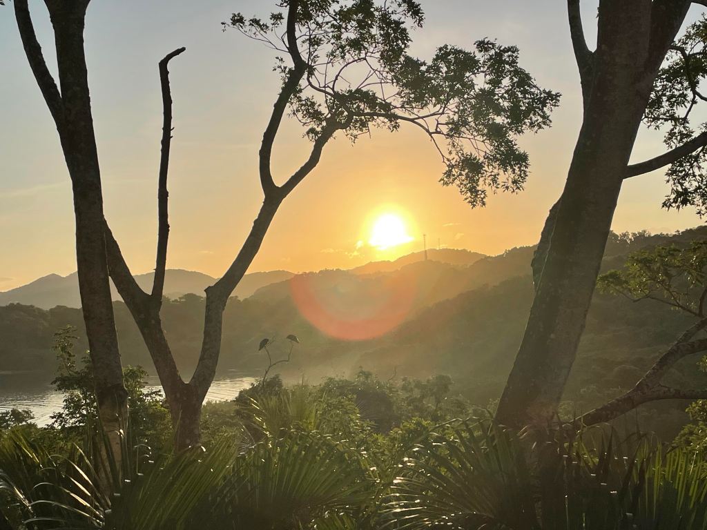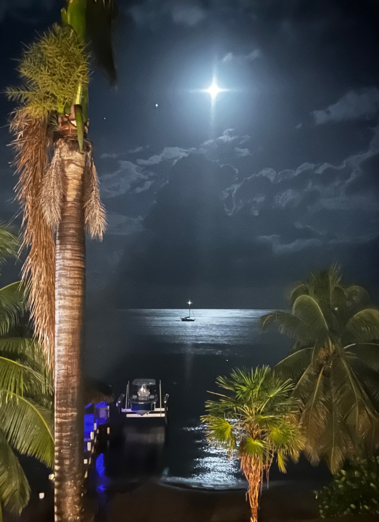
Good morning Bay Islands. Our photo of the day comes from Sarah Anderson between West Bay and West End. I like to call it Twinkle Twinkle Little Moon. The moon goes full next week and we will get to see a lot of it since there will be fewer clouds next week.
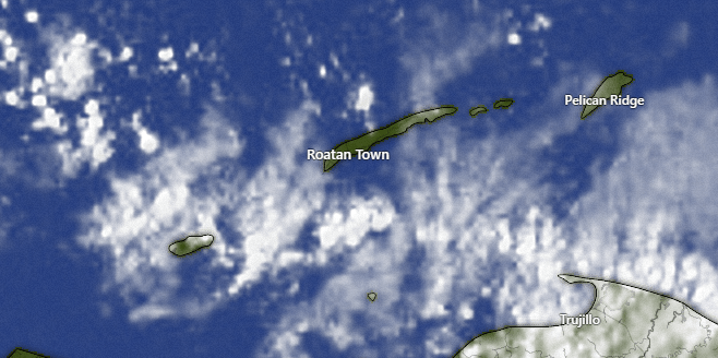
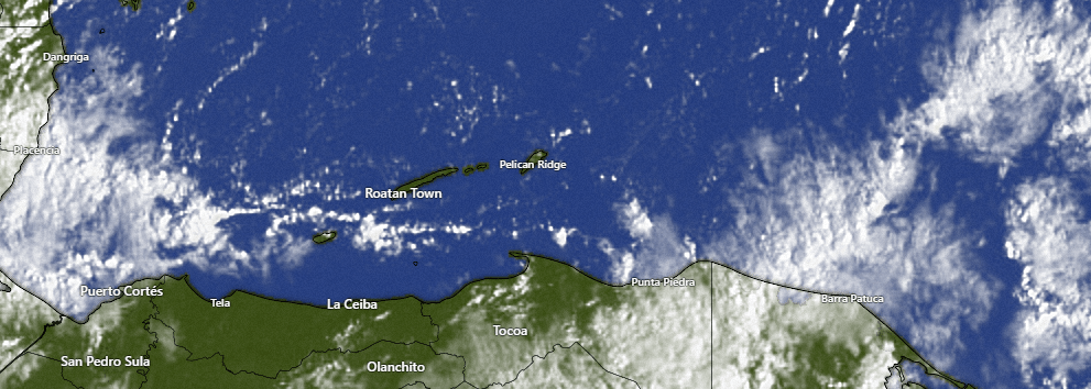
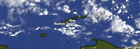
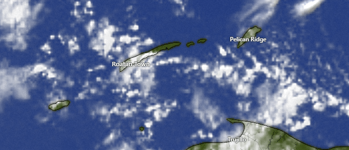
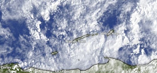
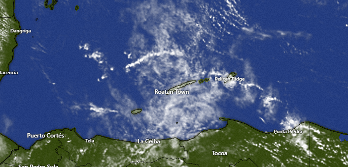
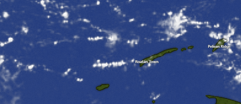
We have scattered clouds, especially further south and west toward Utila at 8 a.m. West Bay has picked up a third of an inch this morning, but most of the rest of us have been dry. Most of us got around half an inch yesterday.
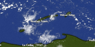
Today there will be a chance of a shower, especially this evening and overnight. Tomorrow should be dry. There will be a small chance of a shower early Monday morning, but other than that the week ahead looks quite dry … and windy.
Wind and Galaxy Wave forecast: We’ve been pretty steady at east winds 15-20 mph and seas 3 feet. Tonight and tomorrow night winds will gust to 25 mph and seas to 4 feet. Tuesday night is when the gusty winds really start, getting to 30-35 mph from the east. Daytime winds starting Wednesday will be 20-25 mph.

Feeding your dog commercial dried food every day is like eating at McDonalds every day, Switch to Mitch Cummins locally sourced wet food from Roatan Pets and your pets’ coat will be softer, it will be glossier, and it will be shinier.
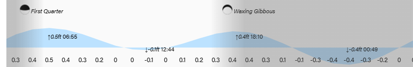
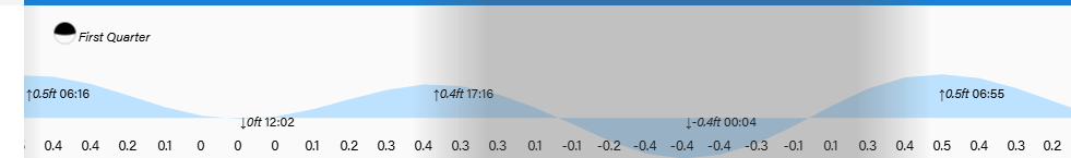
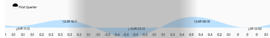
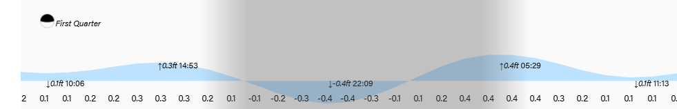
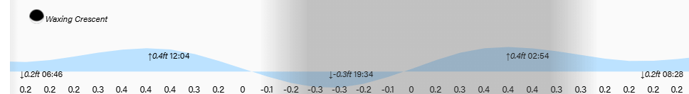
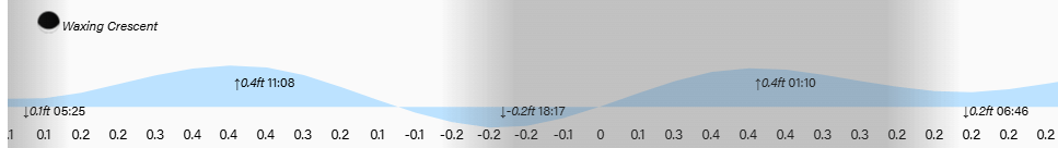
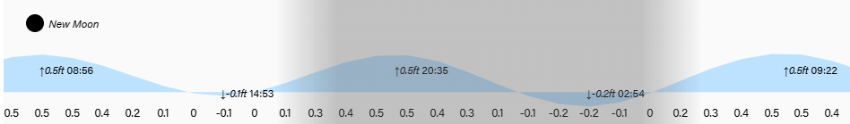
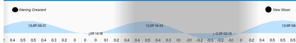
Low tides are 12:45 p.m. and 12:45 a.m. Have a great weekend!