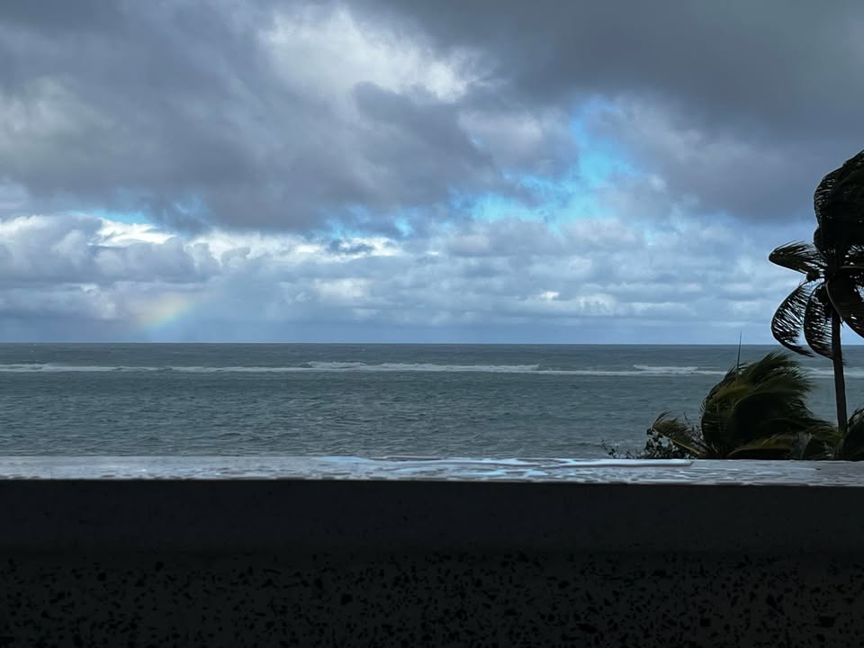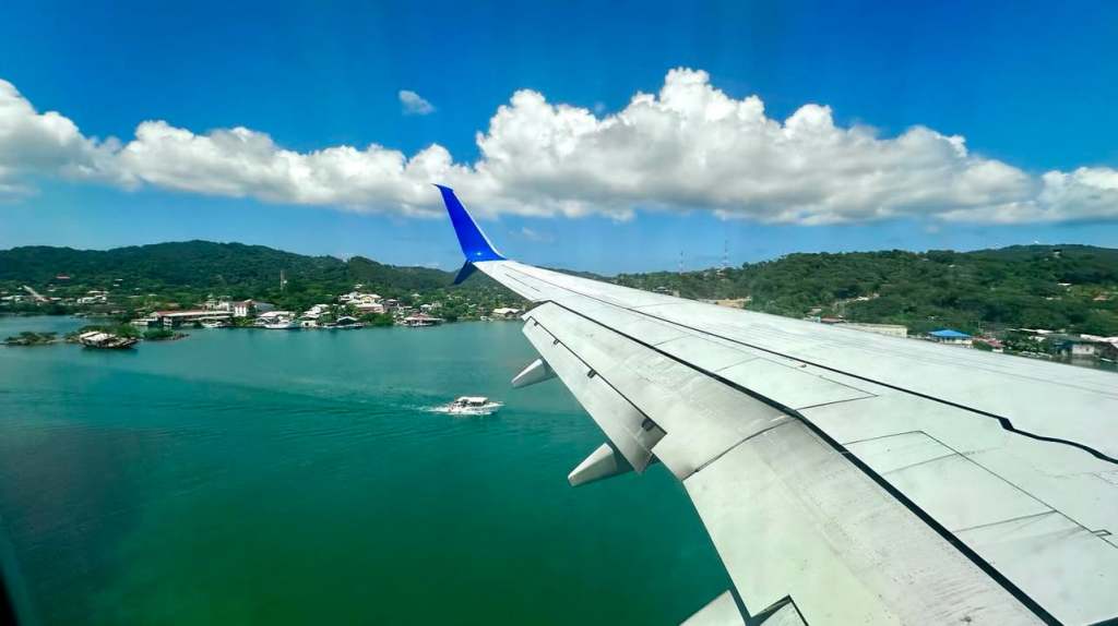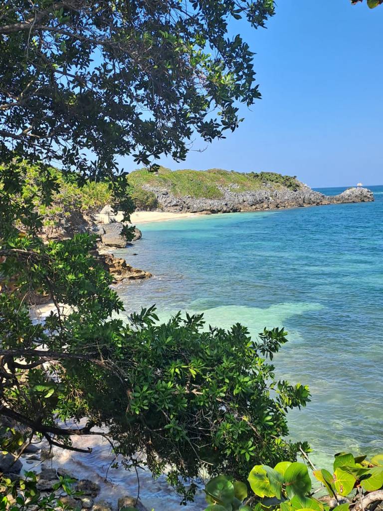
Good morning Bay Islands. Our photo of the day comes from Davinci McNab at Paya Bay Resort. This was taken on a clear day but today we have plenty of clouds and some rain around.
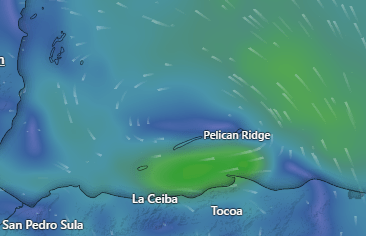
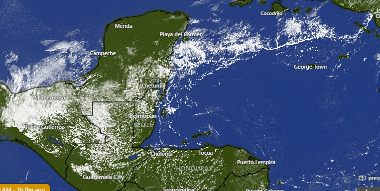
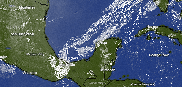
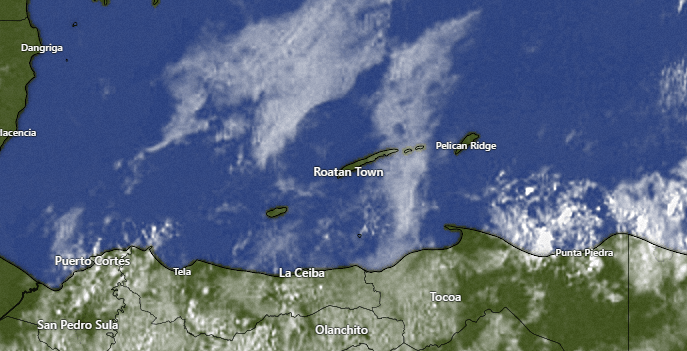
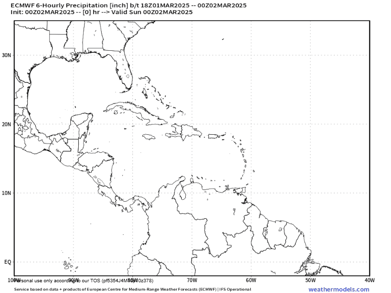
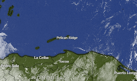
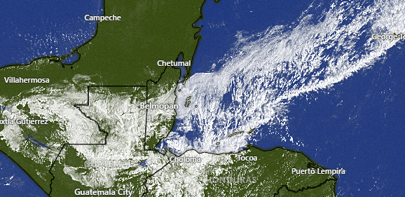
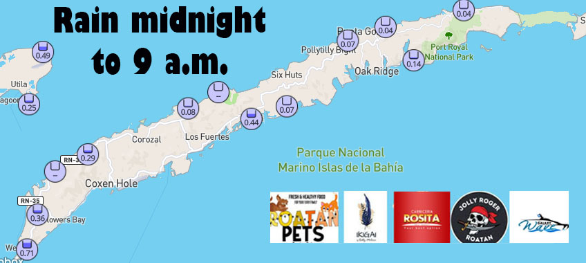
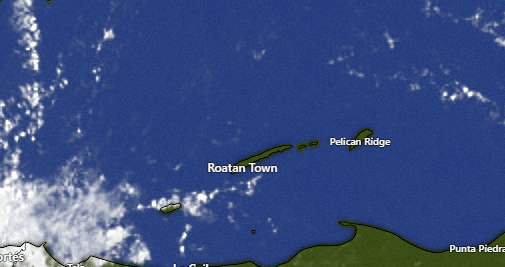
On satellite at 8 a.m. we can see the cold front over us. Individual rain clouds are moving from north to south. We also have a few breaks in the clouds. At 8 a.m. West Bay has gotten almost an inch of rain, while Sandy Bay has received between a quarter and half an inch and points east have gotten little or no rain. Rain should decrease as the day goes along, but we will keep chances of a few scattered showers around all day.
We will have a small chance of rain tomorrow morning, but after that we should stay dry and sunny the rest of the week into the weekend. We are watching another system that could bring rain next Monday into Tuesday.

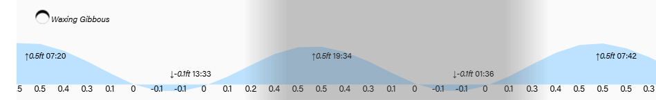
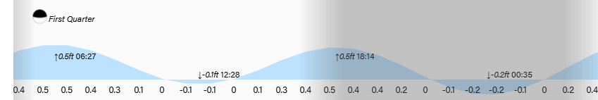
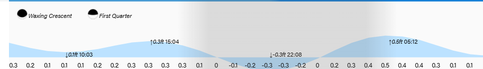
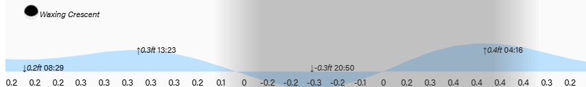
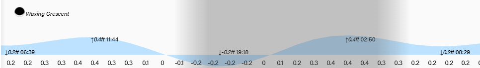
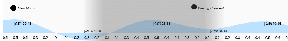
Low tides are 1:30 p.m. and 1:30 a.m. Have a great Tuesday!