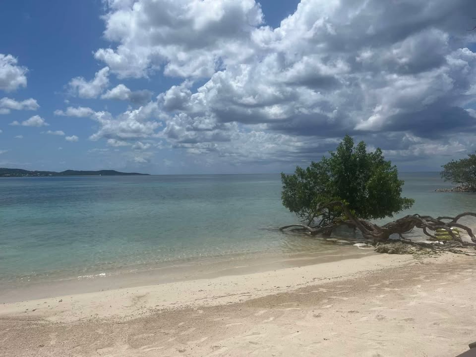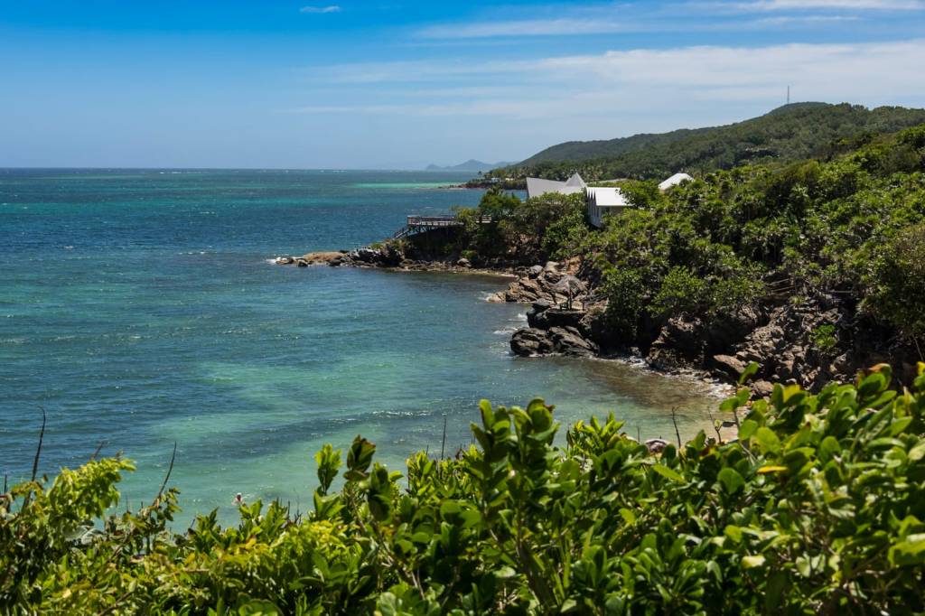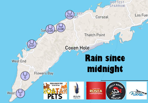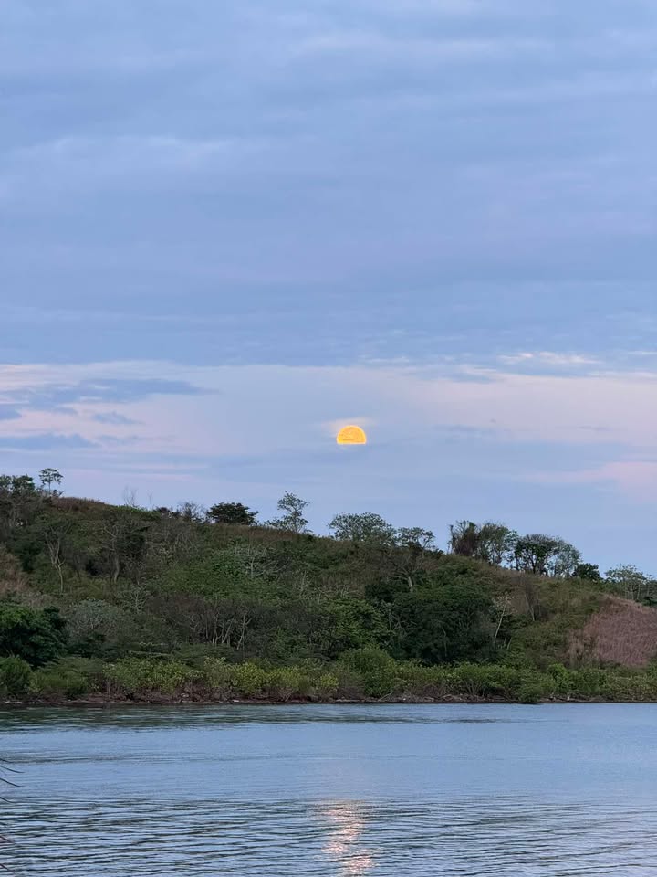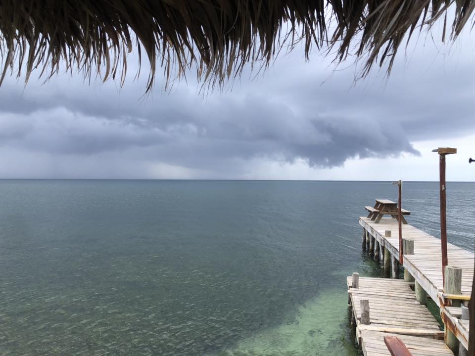
Good morning Bay Islands. Our photo of the day comes from Jimmy Andrade who caught the rain coming in yesterday evening to La Sirena de Camp Bay, Restaurant & Bar. A few locations picked up a third of an inch yesterday evening, but the big story is the thunderstorm we are getting this morning, moving very slowly from west to east across our islands and giving up between an inch and 2 inches by 7 a.m. and more on the way.
This is the radar from 1 a.m. to 7 a.m. and show the approach of the thunderstorm. You can see numerous lightning strikes are recorded
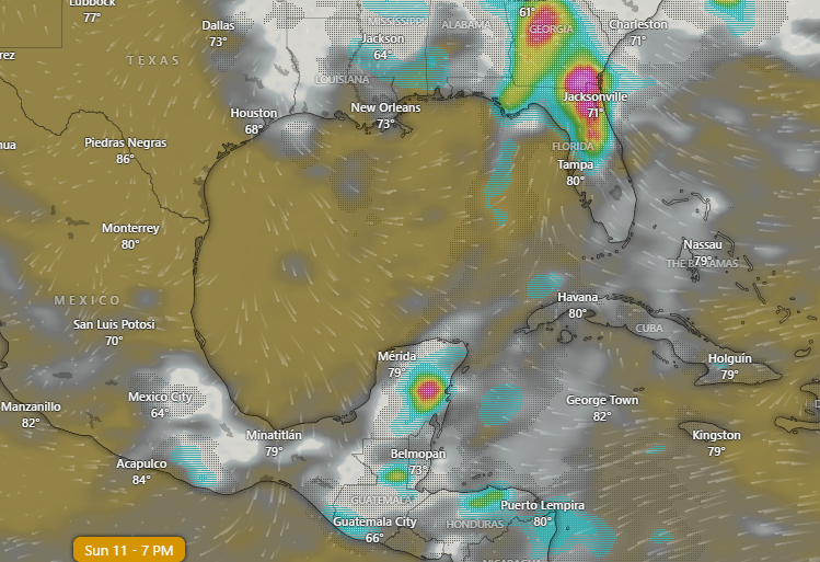
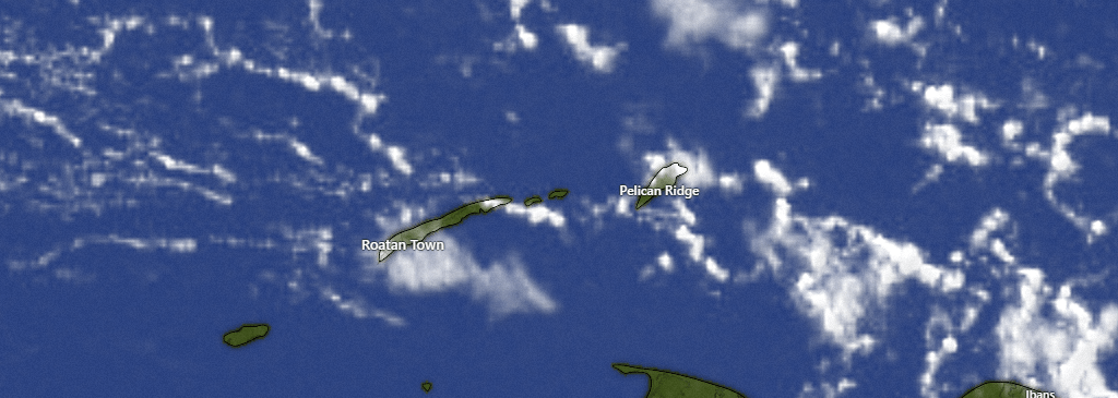
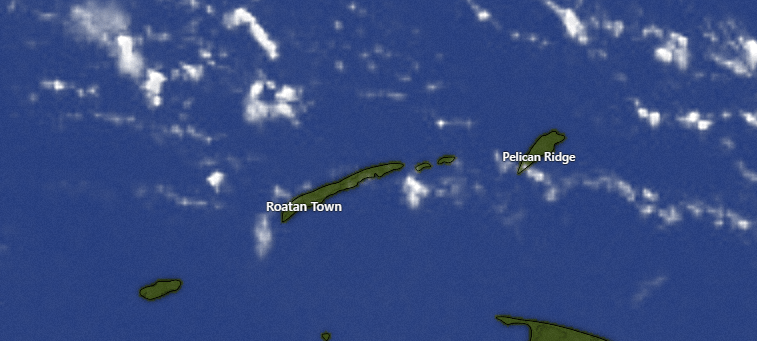
Here is the infrared satellite from 1 a.m. to 7 a.m. You can see deep red, which indicated very high cloud tops supporting this storm. It is moving slowly and also rebuilding on its western side, so it is hard to say how long it will take to get out of here. This morning we will definitely have periods of heavy downpours with lightning. I think this afternoon we should see less rain, though I can’t rule it out. Rain gets heavier again this evening through tomorrow morning. There is a decent chance of rain throughout the day tomorrow. Tuesday morning we may again see showers, but Tuesday afternoon we begin to clear things up and Wednesday through the weekend looks dry.
Wind and Galaxy Wave forecast: This morning most of us are seeing 15 mph west winds with seas around 3 feet. The wind direction forecast is a little tricky because we are close to the center of a low pressure system, so we will say winds will be light and variable, except in squalls where we may see gusty winds. Seas should calm to around 2 feet, except when they are stirred up by squalls. Tuesday we will see winds turn back to the east at a typical 15 mph and 3 foot seas, stronger in the evenings, into the weekend.
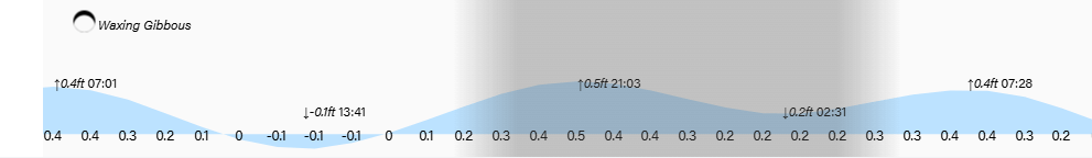
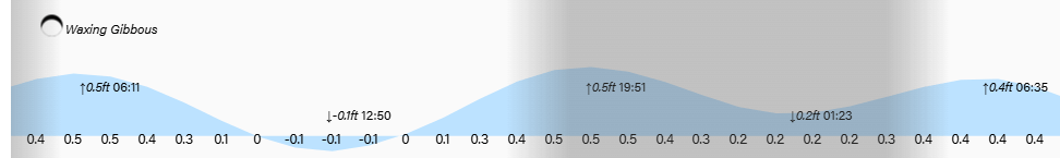
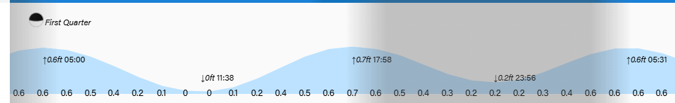
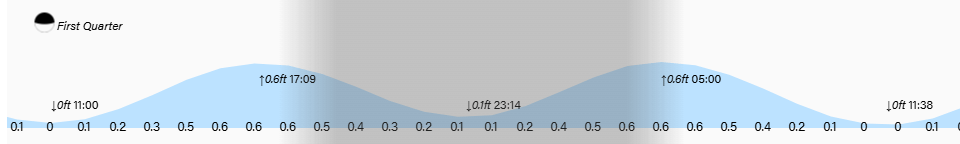
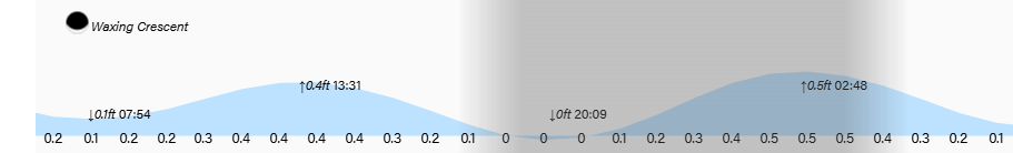
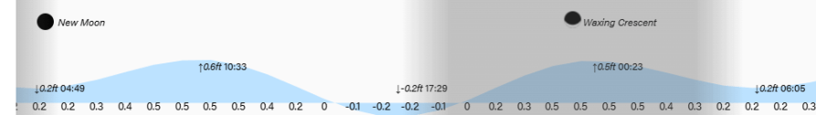
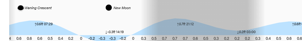
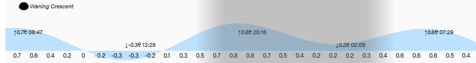
Lowest tide is 2:40 p.m. Be careful out there and have a great Sunday!