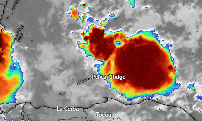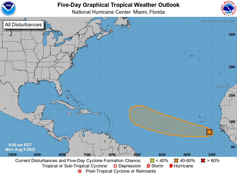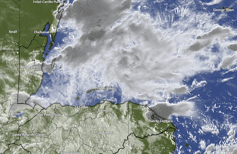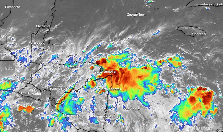
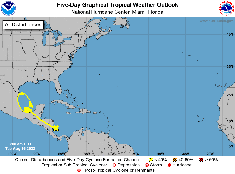
Aug. 16, 2022: Good morning, Roatan! We have had a dry 24 hours. The news of the day is that the wave of moisture we are expecting for tomorrow now has a 20 percent of tropical development over five days. That is a small chance and it won’t happen until it passes by us into the Gulf of Mexico. Actually a lot of the models aren’t terribly excited about the amount of rain we will get.
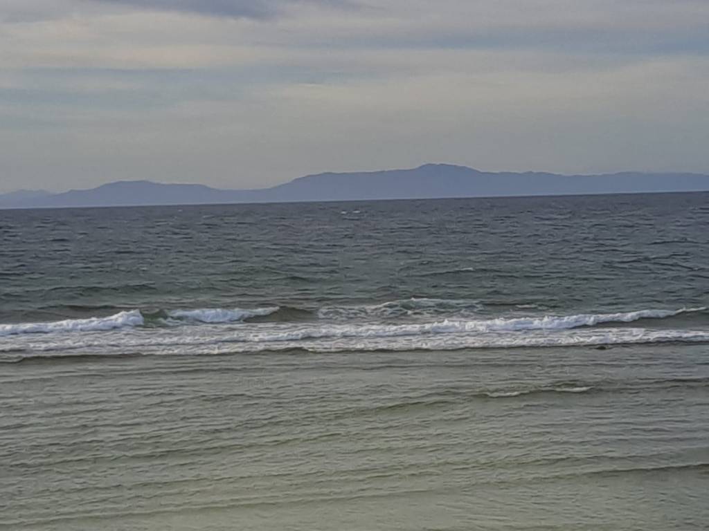
Today we will have partly to mostly cloudy skies and winds 15-20 mph during the day and 20-25 mph during the evening with seas 3-4 feet (1-1.3 meters) rain chances will get better as we get toward evening.
Tomorrow we will have a good chance of at least seeing a shower with mostly cloudy skies but perhaps some moments of sun. There is a good chance thunder will accompany some of those showers. Winds will be 15-22 mph and seas will be 2-3 feet.
Thursday rain chances go way down. Sunday and Monday rain chances may get a little better with calmer winds. Have a great Tuesday!