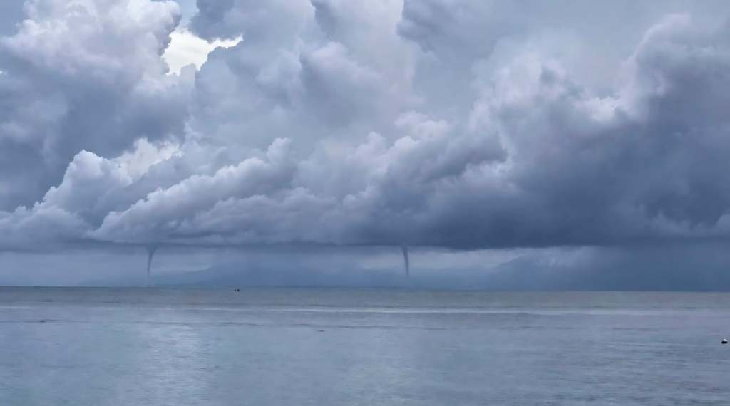
Good morning Bay Islands. Brad Ryon captured these twin water spouts looking south from Utila on Tuesday. With a stormy weekend in the forecast, it possible we will see more of these. They are not as dangerous as land tornadoes, as their winds are generally around 40 mph, but still stay away from them.
At 8:30 a.m. we have mostly sunny skies over our islands with a storm over the Mosquito Coast. That storm should stay over there and we should be partly cloudy today, but we can’t rule out a shower here or there. Rain chances increase overnight into tomorrow morning. Friday looks much like today, but the weekend still has the potential to be quite rainy with the cold front stalling to our north, keeping the moisture pretty thick over our islands. Most models predict 2-3 inches. Winds remain mild, mostly from the east 5-10 mph and seas 1-2 feet. Have a great Thursday!

