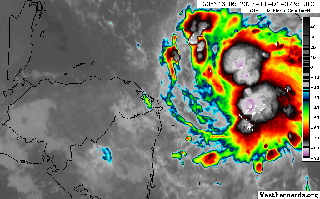
I am writing this at 4:55 a.m. and will try to update as often as possible. We start the morning with the current satellite image of Tropical Storm Lisa. The U.S. Air Force is on the way to take direct readings, but right now we have estimates based on this image. The National Hurricane Center estimates that this storm has sustained winds of 45 mph, just barely a tropical storm, but it is predicted to get stronger as the day goes along. Right now you cannot see a good center on this storm. The longer it takes to get organized, the better it is for us.
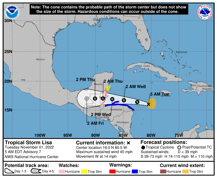
Here is the latest forecast track from the National Hurricane Center. It is forecast to go just to the north of the Bay Island and it has Guanaja very close to the center. There are two things that will determine how strong our winds are: 1. When does this storm form a well defined center (an eye)? If it forms a center before it reaches the islands and that center passes over the islands, the strongest winds will be right along the eyewall. 2. How close does this storm come to the islands? A change of a few miles makes a big difference.
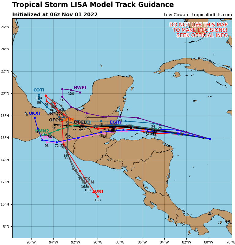
You will notice that most computer models have the storm passing to our north. The south side of tropical storms is generally weaker than the north sides. Many models are still only giving us 30 mph winds from this storm. Hurricane force winds are still a possibility; that is why we are under a Hurricane Watch, but there is also a good chance we come away from this with only strong winds in the 30-40 mph range, not much worse than our worst windy days.
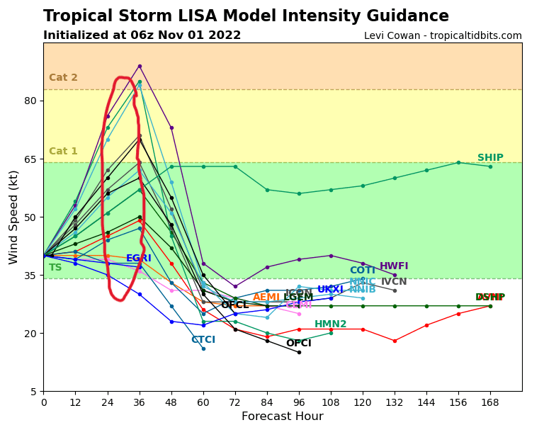
I have marked in red the computer intensity forecasts for the time period from midnight to 6 a.m. tomorrow when we should be experiencing the worst winds. A few models have the storm as a hurricane, some even going toward a Category 2 (96 mph winds) but most have it staying a tropical storm. If it stays a tropical storm as it passes north of the islands that is the best scenario for us.
Keep an eye on the strength of the storm. If it passes near us or makes landfall on the island, our worst winds will be early Wednesday morning as they switch to the southwest. That is when some minor storm surge (1-3 feet) will affect the south side of the island.
After all this passes, we still have decent rain chances Thursday and Friday with east winds 10-15 mph. Saturday afternoon looks nice and there is a chance of rain returning for Sunday.
