June 13, 2022: Good morning, Roatan! Most of us have seen a litttle rain, with the emphasis on a little. As of 6:30 a.m. the big winner has been Punta Blanca with a quarter of an inch, but for most of us it has just been a few hundredths.
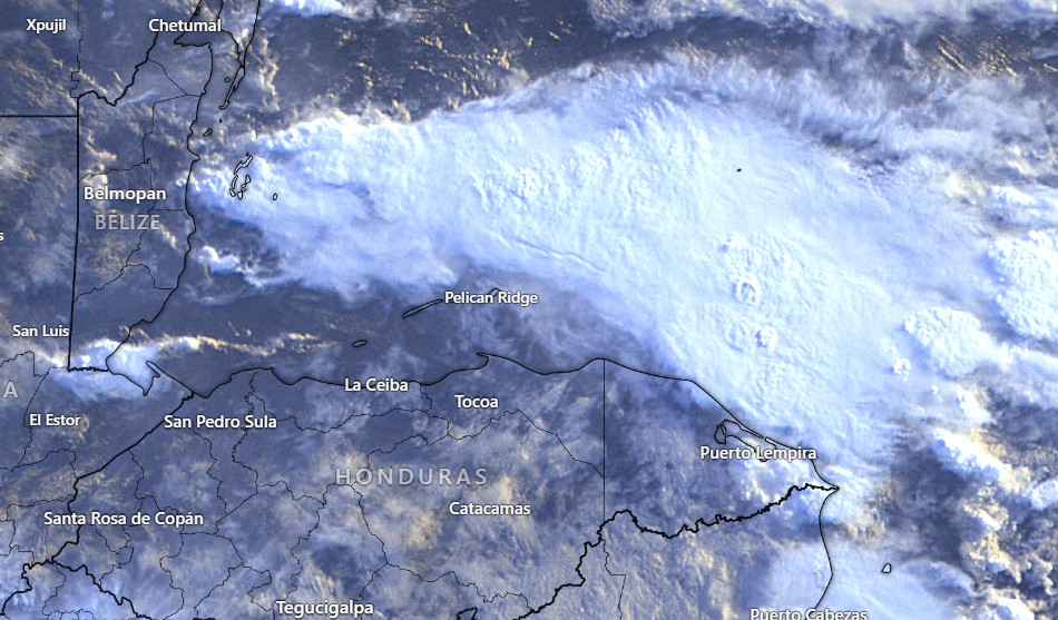
As you can see in this morning’s satellite, there is a big bank of clouds to our north and west. That will keep us in the clouds most of the day and with a decent chance of rain, especially on the east side of the island and definitely for Guanaja. Winds should pick up this evening, from the east around 25 mph.
Tuesday and Wednesday still look like the dry days of the week.
Tuesday will be especially windy put of the east at 20-25 mph, but Wednesday will be calmer at 12-17 mph.
Thursday the winds calms and the rain chances increase into the weekend.
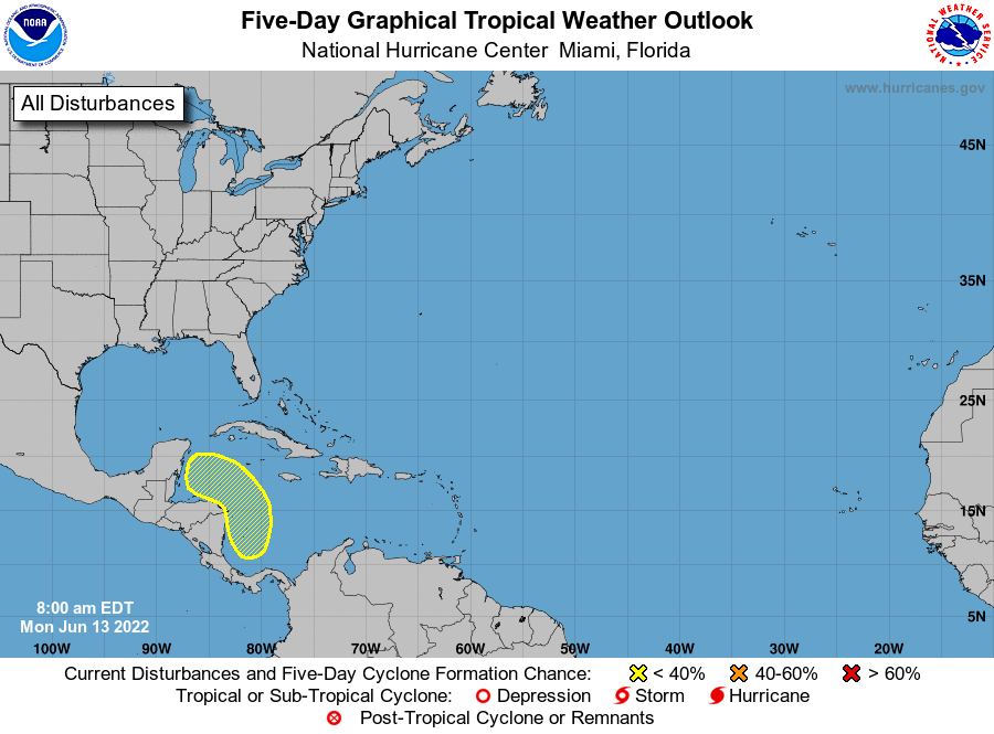
The GFS is trying to spin up a tropical storm to pass just to our north on Friday, while the European model puts it into the weekend. The National Weather Service gives it a 30 percent chance of development over the next five days. I’ll be very interested in seeing their opinion tomorrow.
