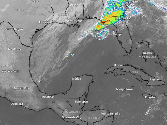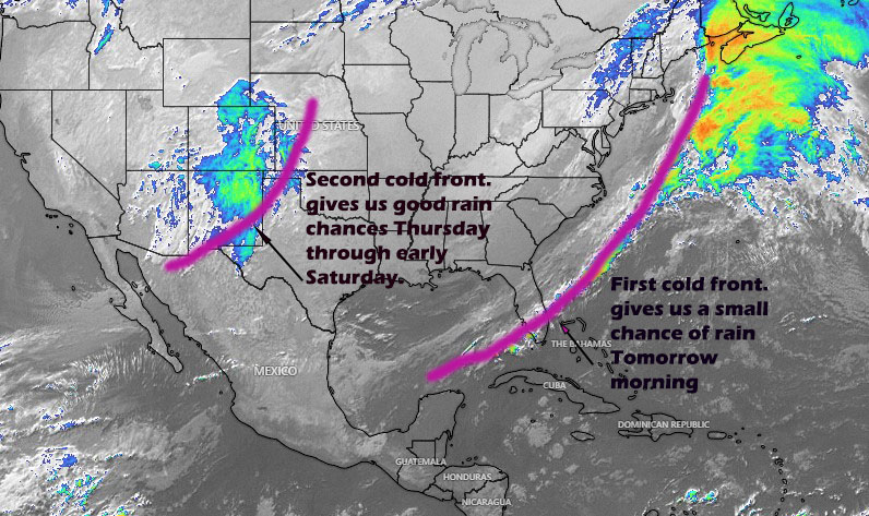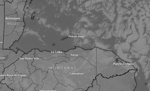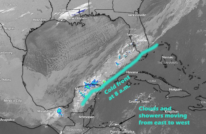
Jan. 26, 2023: Good morning Roatan! This morning we have a front (norther) to our north and some clouds and showers to our south and east.
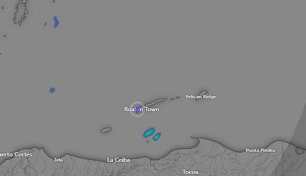
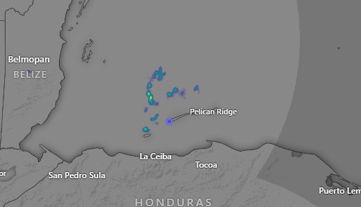
At 8 a.m. radar is picking up some showers near Cayos Cochinos.
Today we will have calmer winds than we’ve been having, with winds from the east at 15 mph in the morning and from the northeast at 10 mph in the afternoon. Seas will calm to around 2 feet (.6 meters). We will have increasing clouds and an increasing chance of rain through the afternoon. Rain chances will be highest overnight.
Tomorrow after a chance of morning shower, the afternoon should be partly sunny with only a small chance of a shower. Winds will be from the east around 15 mph and seas 2-3 feet.
Tomorrow night there is a decent chance of rain, but there should be less rain tomorrow night than tonight.
Saturday there is a small chance of a morning shower but we will be mostly dry with east winds 15-20 mph and seas 2-3 feet.
Saturday night into Sunday morning there is a very small chance of rain, perhaps 20 percent, and Sunday should be mostly sunny with east winds 15 mph, gusting to 20 mph Sunday night, and seas 3 feet Sunday and 4 feet Sunday night. Monday there is some indication of scattered showers, but after that the week should be mostly dry. We are still watching the possibility of a norther the following weekend. Have a great Thursday!