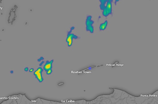
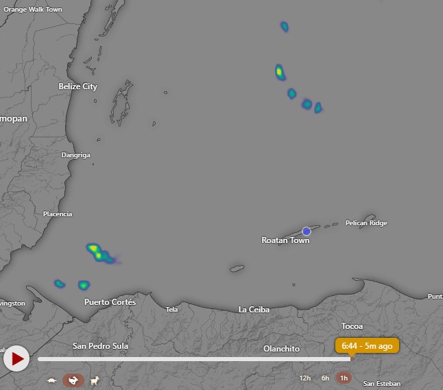
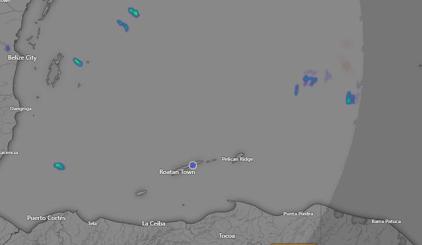
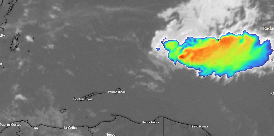
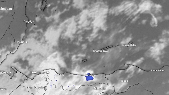
May 2, 2023

May 2, 2023: This is what I was worried about. As of 8 a.m., visibility at the airport was down to 2000 meters (just over a mile). At 9 a.m. it was back up to 4000 meters. Yesterday it was 8000 meters much of the day. When flights were being cancelled it was down to 1000 meters.

The fire map shows fewer fires than before the weekend, but still some intense fires toward the coastline of Gracias a Dios Department, to our southeast where much of our smoke comes from. Over the next few days winds will be mostly from the east, but occasionally shift to the northeast or southeast. Northeast winds are better; southeast winds are bad because they bring smoke. There is a small chance for rain on the mainland the next few days and basically no chance of rain for us. We will have varying degrees of smoke for the next few days. Today and tomorrow we will have moderate winds 10-15 mph and 3 foot seas during the day and 20-25 mph winds and 4 foot seas at night. Thursday and Friday the east winds will be even stronger, before getting back about where we are now for the weekend. We’re still hoping for some rain in a week and a half. Have a great Tuesday!

May 1, 2023

May 1, 2023: Good morning Bay Islands. No rain last night on the island and the big winner yesterday was West Bay with over half an inch. Winds got dead calm overnight and seas are 1-2 feet. We have high clouds this morning, but should stay dry. Winds will come back this afternoon and evening from the northeast at 10 mph. Tomorrow winds will turn more to the east and by nightfall should be up to 20-25 mph with seas around 3 feet. The rest of the week looks dry and breezy.
A big question is whether the smoke will return. It is hard to tell how much rain fell in northeast Honduras with poor radar coverage and no reporting stations, but my guess is not much. Unlike us, they will have small chances of rain this week, but as the wind turns back to the east watch for signs of returning smoke.
The longrange forecast is trying to give us rain chances around the middle of May. Low tides are 12:04 p.m. and 12:28 a.m. Have a great week!

April 30, 2023

April 30, 2023: Good morning Bay Islands. The good news is that visibility at the airport is 5000 meters (3 miles) this morning, much better than 1000 meters (about half a mile) yesterday. Winds are from the west at 10 mph and seas are 3-4 feet mostly on the north and west sides.

The video here shows the rain coming down out of Belize last night. Sadly, most of the rain fell between San Pedro and La Ceiba, not where we really need it, toward Trujillo and to the east of there. The reporting station in Utila seems to getting a shower at 7:45 a.m. as I am writing, giving them .14 of an inch. Locations on Roatan either got no measurable rain or .01, but we will have a chance of a shower through today. Winds will remain from the west at 15-20 mph and seas will be 3-4 feet especially north and west sides. We will have a decent chance of rain tonight with winds from the northeast at 5-10 mph and seas at 2 feet. Tuesday will be partly cloudy with a small chance of a morning shower and light winds turning back to the east. Starting Tuesday night we get strong east winds, high clouds and little to no chance of rain. Let’s hope that by then the northeast of the mainland has gotten enough rain to knock down the fires. Low tides are 11:41 a.m. and 11:57 p.m. Have a great Sunday!

April 29, 2023

April 29, 2023: Good smoky morning Bay Islands. This morning winds have calmed considerably, which doesn’t move the smoke anywhere. But we have hope starting tonight for some improvement.

A front is sweeping through the Gulf of Mexico that should do two things. It will bring us a chance of rain, as early as tonight. Perhaps more important for the short term is that starting around midnight it will shift our winds to the west at around 20 mph. That means the wind will no longer be coming from the smoky mainland of Honduras but from less smoky Belize.

The wind forecast map here is for 10 a.m. tomorrow showing a decent breeze from the west.

The GFS is giving us a chance of rain as well starting tonight between midnight and sunrise. It’s not a lot of rain, and unfortunately it is mostly for the western half of Honduras, but the rain chances return Sunday night when they will be better for the eastern half of Honduras, the source of our smoke.

The Euro is a little less hopeful for a lot of rain, especially in the places where we need it. the northern coastal areas of eastern Honduras. If the rain doesn’t knock the flames back enough, we could be right back in the smoke starting Tuesday when the east winds come back pretty strongly and dry conditions return for the rest of the week.

In the meantime tonight and tomorrow we will have that 20 mph west wind meaning 2-3 foot waves, especially on the north and west sides of the island. Monday will be relatively calm, but what wind we have will be from the north. Let’s hope for a strong westerly breeze and good rain, especially in northeastern Honduras. Low tides are 11:12 a.m. and 11:23 p.m. Have a great weekend!

April 28, 2023

April 28, 2023: Good smoky morning Bay Islands! The question on everyone’s mind is when will all this smoke go away. The answer is perhaps we will get some relief this weekend, but it isn’t a sure thing.

On the satellite image from this morning you can see the smoke, which is low in the atmosphere, bad for breathing and landing planes. Unfortunately, this time of year we are dominated by high pressure which keep the smoke from getting to the upper levels of the atmosphere and blowing away.

This map shows the concentrations of fires on the mainland, which are mostly to our southeast, which is bad because our dominant winds come from the southeast.

This is the Euro forecast for rainfall through Monday. This is not a good forecast for us.

This is the GFS forecast for rainfall through Monday. Let’s hope this is more accurage. The yellows and oranges represent an inch or two of rain, especially in Colon, although we could really use it in Gracias a Dios as well. This would help with the fires if we can get this kind of rain Sunday night.

Our winds are calmer this morning and will be calmer through Monday, but what winds we will have will switch to being from the west tomorrow evening. That should give us a little relief. Winds will be fairly calm during the day through Monday, 15-20 mph at night from the west Saturday night and from the north on Sunday night. Sunday night we have a 50/50 chance of rain. Things get dry and windy again, especially starting Tuesday night. Low tides are 10:45 a.m. and 10:48 p.m. Have a great Friday!

April 27, 2023

April 27, 2023: Good morning Bay Islands. We got windy last night, up to 37 mph and seas up to 5 feet. This morning we have calmed to 15 mph and 2-3 feet. We have one more windy night before things start calming down tomorrow. Tomorrow through Monday we will have daytime winds that are fairly calm, seas 2-3 feet, and nighttime winds 15-20 mph.

We are still watching for a chance of rain Monday morning.

The forecast map here shows the storm system winding up through North America and a line of showers along a front. As you can see, we are at the very end of the front, where the rain sometimes dries up, so rain on Monday morning is not a sure thing, but I’m saying there’s a chance, and that’s better than nothing.

Low tides are 10:16 a.m. and 10:10 p.m.

April 26, 2023

Good morning, Bay Islands! We awake to 10-15 mph winds and 3 foot seas on the south side and 2 foot on the north side. Winds and seas will be about the same through the day today, but get a little higher tonight at 15-20 mph and 3-4 feet. Tomorrow and Thursday look windier, with daytime winds 15 mph and seas 3 feet and nighttime winds 22-27 mph and seas 4-5 feet.

Friday into the weekend things get a little calmer as a weak cold front approaches from the north. It is too late in the season for a norther with cool temperatures and strong north winds, but there is hope that we could get a little rain, especially Monday.

The map shown here is the forecast map for noon on Monday. As you can see it is forecasting rain in the area. Let’s hope it falls right on our heads. We really need it. After Monday it looks like chances of morning showers will be better than they have been through our dry month of April.

Low tide is 9:22 p.m. Have a great Wednesday!

April 25, 2023

April 25, 2023: Good morning Bay Islands! We had a lot of clouds pass over last evening, but sadly they didn’t contain rain. Today we have very calm winds and seas 2-3 feet. Those calm conditions will continue through today with seas 1-2 feet. Tonight winds will get up to 20-25 mph and seas to 3-4 feet. Wednesday and Thursday we will have 15 mph winds and 3 foot seas during the day and 25-30 mph winds and 4-5 foot seas at night. Things should get a little calmer Friday and Saturday.
When it comes to hopes for rain, we are watching a system the might sweep down out of the north around May 1. We’re hoping it gives us some showers.

Low tide is 8:24 p.m. Have a great Tuesday!

April 24, 2023

April 24, 2023: Good morning, Bay Islands! We wake up this morning to 15 mph winds and 3 foot seas. Last night was a bit windier than I expected. We got close to 30 mph winds and up to 5 foot seas. Winds should be moderate today at 7-12 mph and 2 foot seas and 17-22 mph tonight and 3-4 foot seas. Winds and seas will be quite calm tomorrow, with seas 1-2 feet by Tuesday afternoon.

Satellite at 8 a.m.

The major thing you see on the satellite is a bunch of storms near the Veracruz area of Mexico. Unfortunately these storms are going to move south into Guatemala and not east toward us. They will bring us a few more clouds, especially tomorrow night, and I have a feeling someone somewhere will get a shower, especially tomorrow night, but the chances are still low.
Tuesday and Wednesday night both will be windy, but we get calmer Friday into the weekend. I am still hoping to have better rain chances toward the first of May.

Low tide is 6:58 p.m. Have a great week!

April 23, 2023

April 23, 2023: Good morning, Bay Islands. We awake to 15 mph winds and seas at 2 feet. Winds and seas will remain moderate through the day. Starting tomorrow we will have daytime winds quite calm, around 7-12 mph and seas around 2 feet and nighttime winds breezier, around 15-20 mph and seas around 3, maybe 4 feet. Our only clouds will be those high, dry cirrus clouds. Smoke from mainland fires will continue to drift our way with moderate east winds, especially at night. I am still hopeful for some rain chances around the first of May.

Low tide is 5:41 p.m. Have a great Sunday!