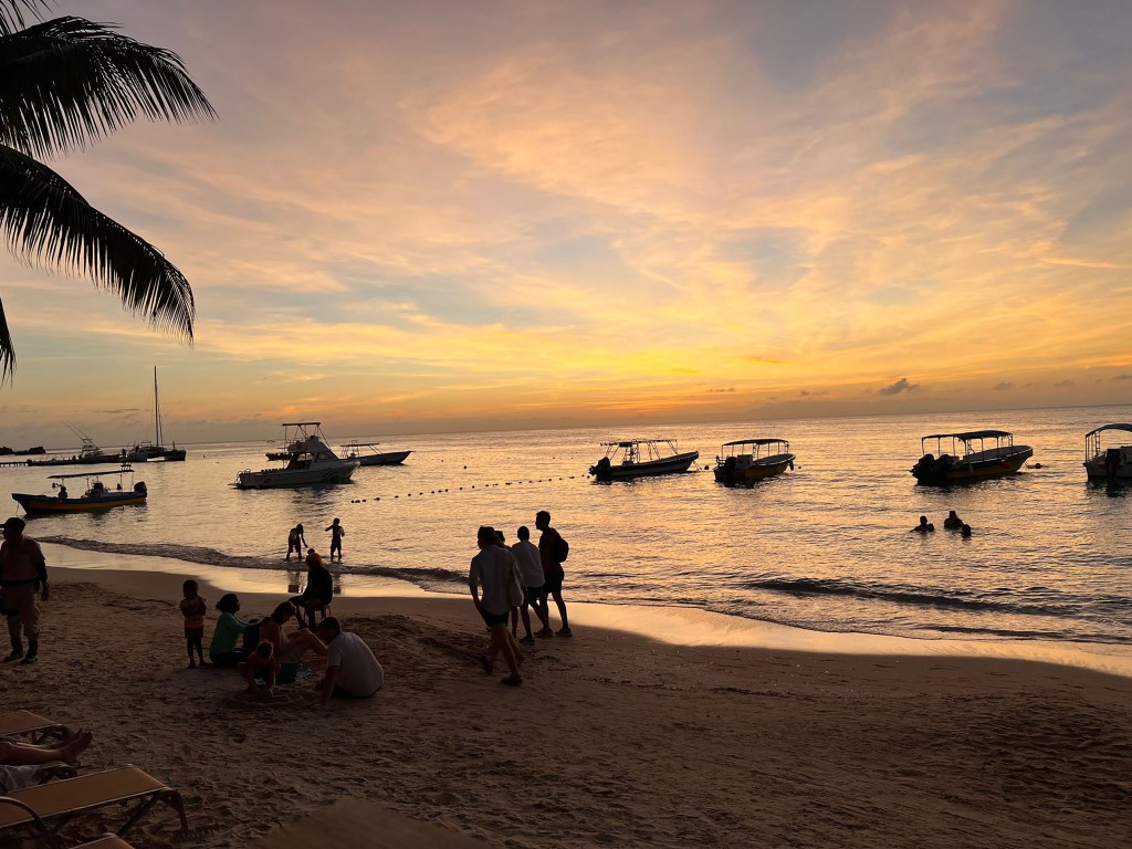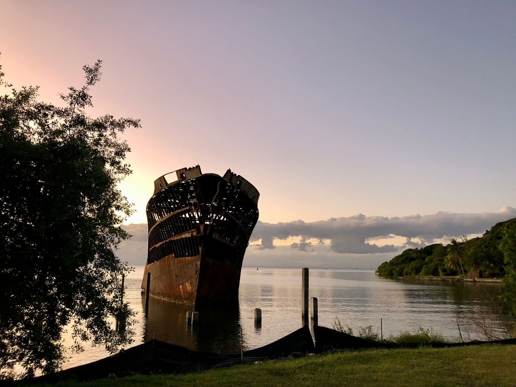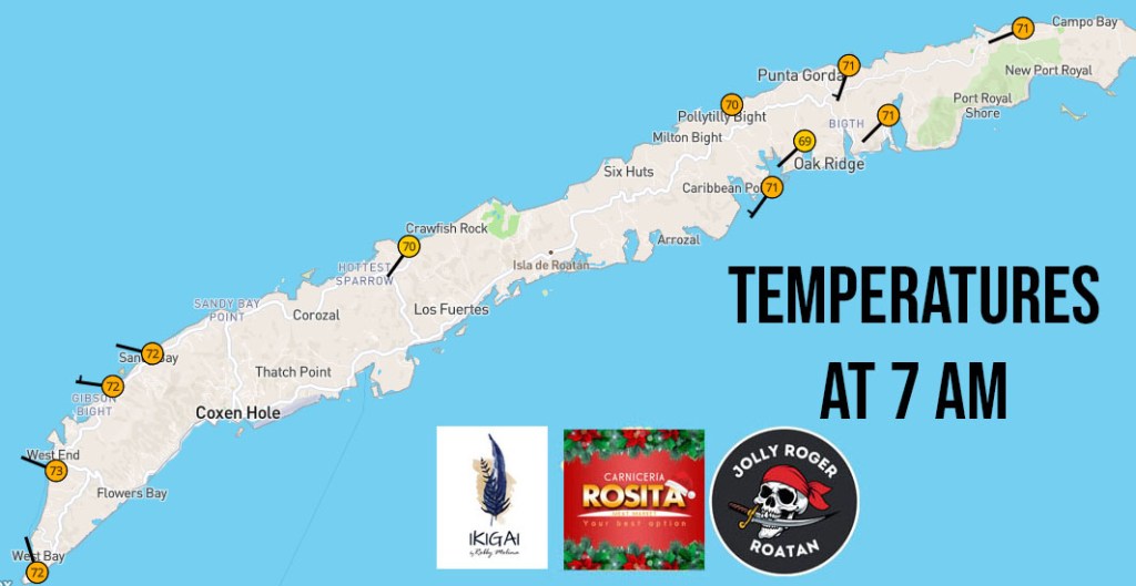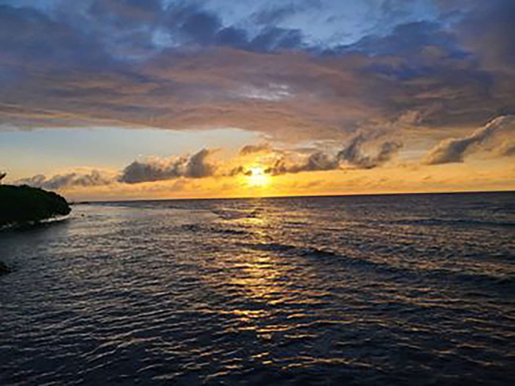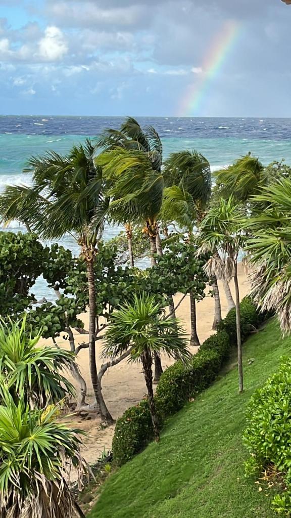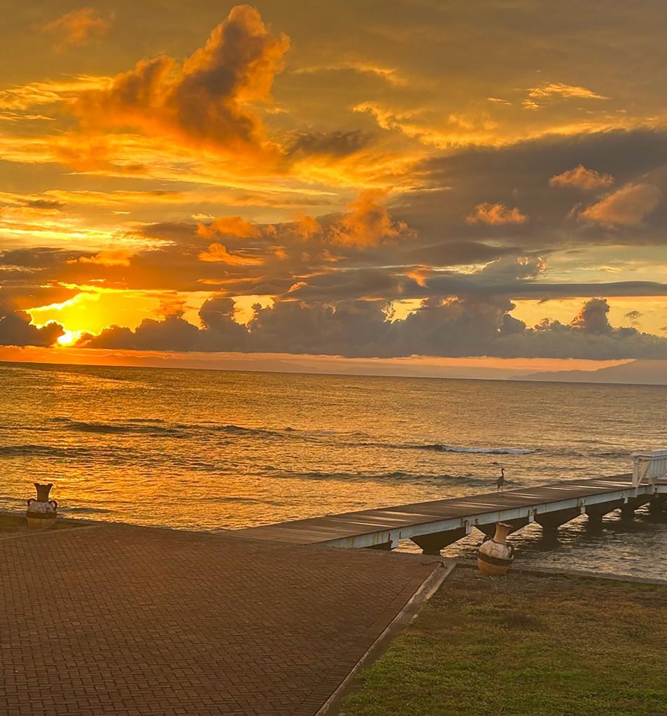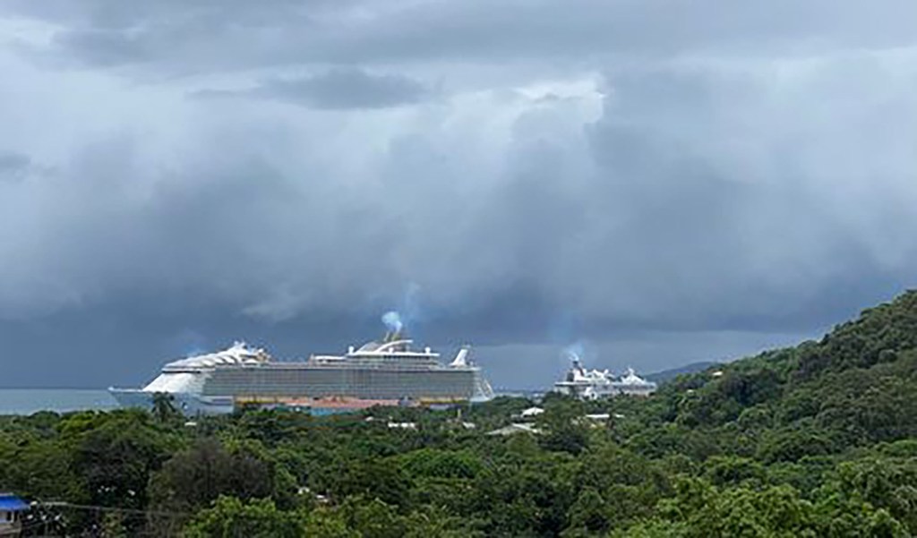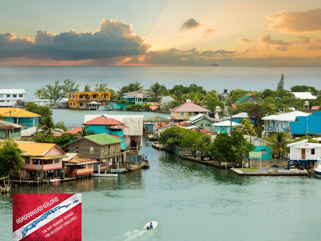
Good morning Bay Islands. Our photo of the day comes from Pam Peters in Calabash. We get one more perfect day of weather before the winds start to turn to the north and rain chances increase.
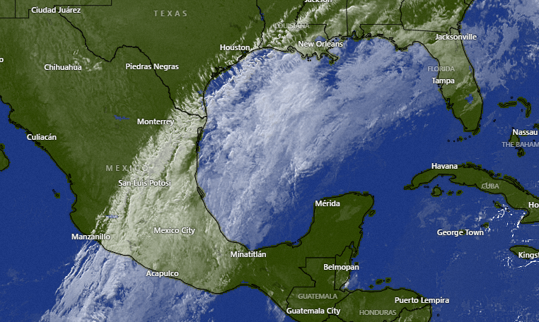
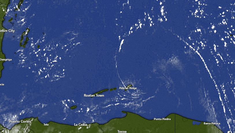
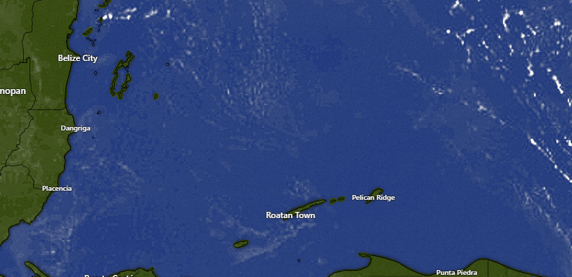
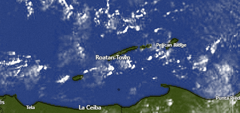
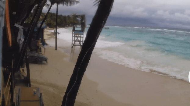
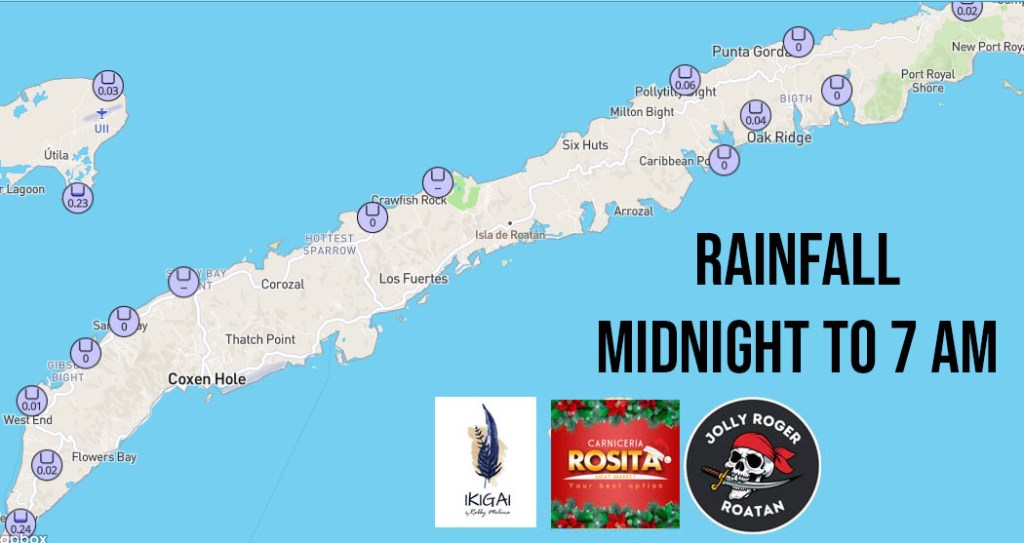
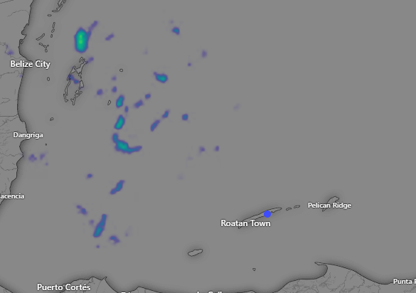
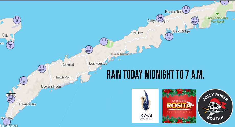
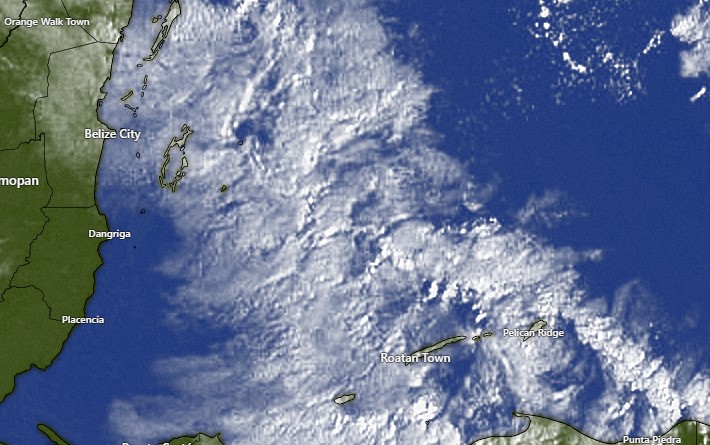
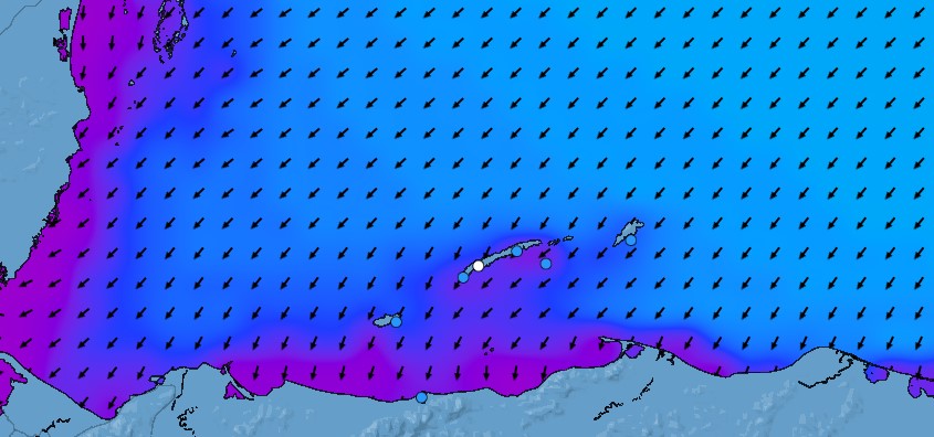
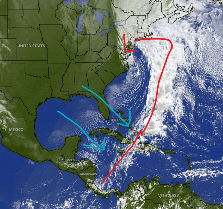
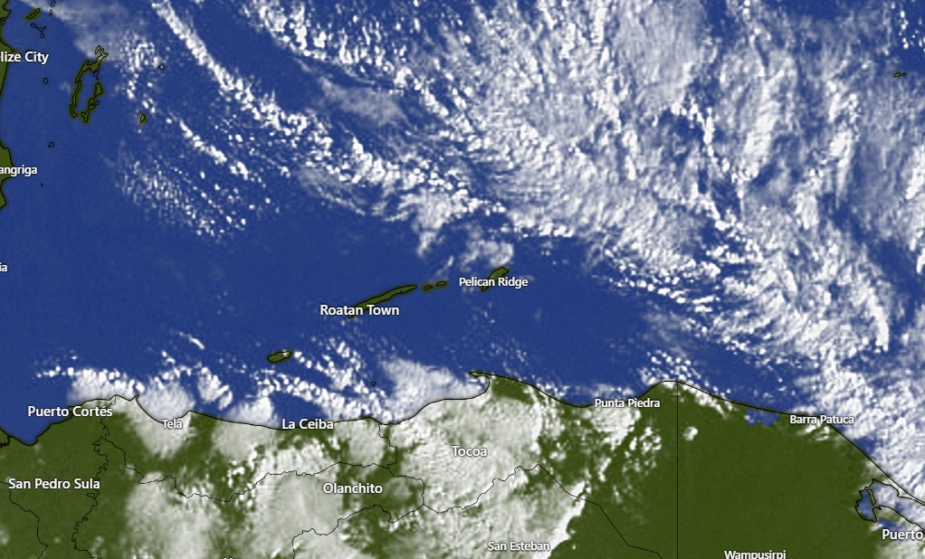
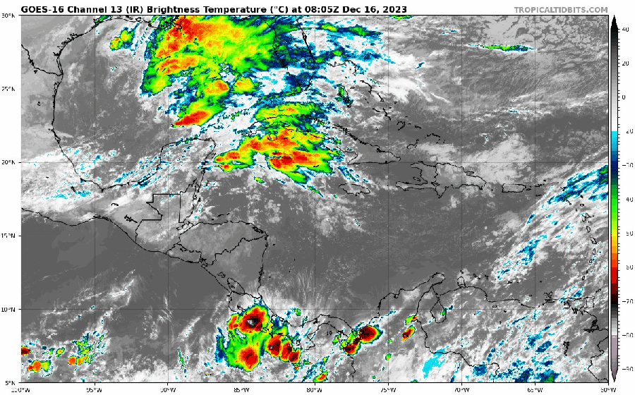
On the satellite we can see the approaching cold front. Our winds will start to turn to the north tomorrow around midday and seas will increase from 1-2 feet to 2-3 feet. Rain chances increase, especially tomorrow evening into tomorrow night with about half an inch likely. Rain chances are good on Friday with seas 3-4 feet. Saturday will be the windiest and rainiest day with very heavy seas especially on the north side, perhaps 6-8 feet midday. Things should calm down Sunday with lingering rain showers, especially in the morning. Sunday evening into the first day of the New Year could be chilly.
Want fresh meat for the New Year? You can do no better than Rosita’s Meat Market. Thanks to Trish Symons for helping us out with a price list in English.
We have a new link for the calendar if you want to order it in the US or Canada. Thanks so much for your support.
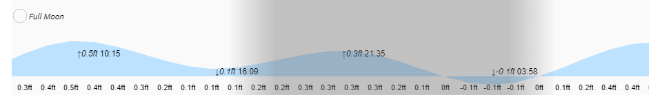
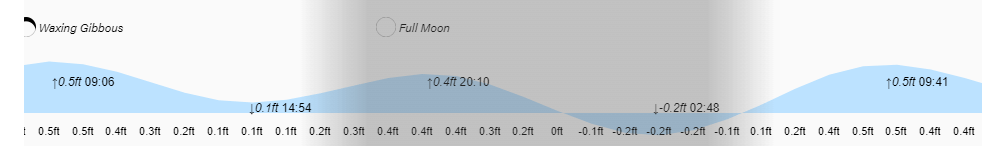
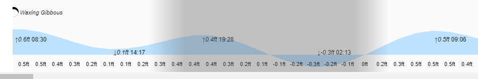
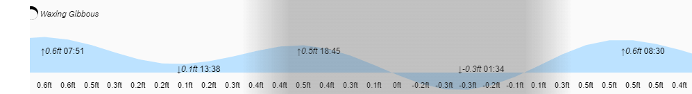
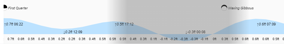
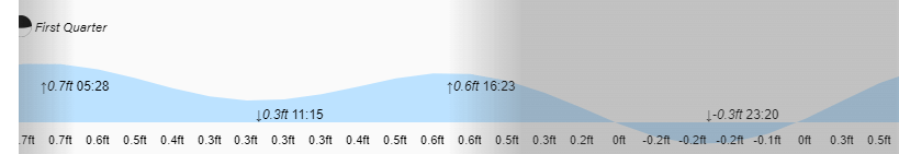
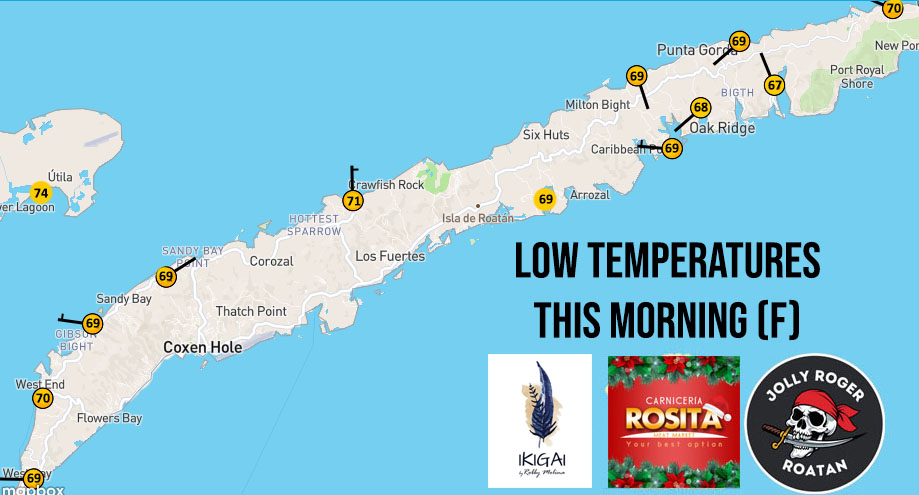
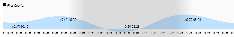
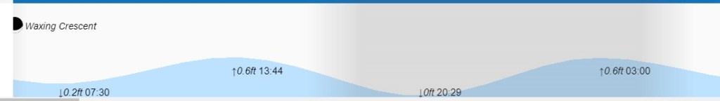
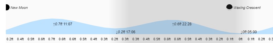
Low tides are 3:30 p.m. and 3:30 a.m. Have a great Wednesday. We’ll be doing a video this morning to talk about the norther that’s coming.