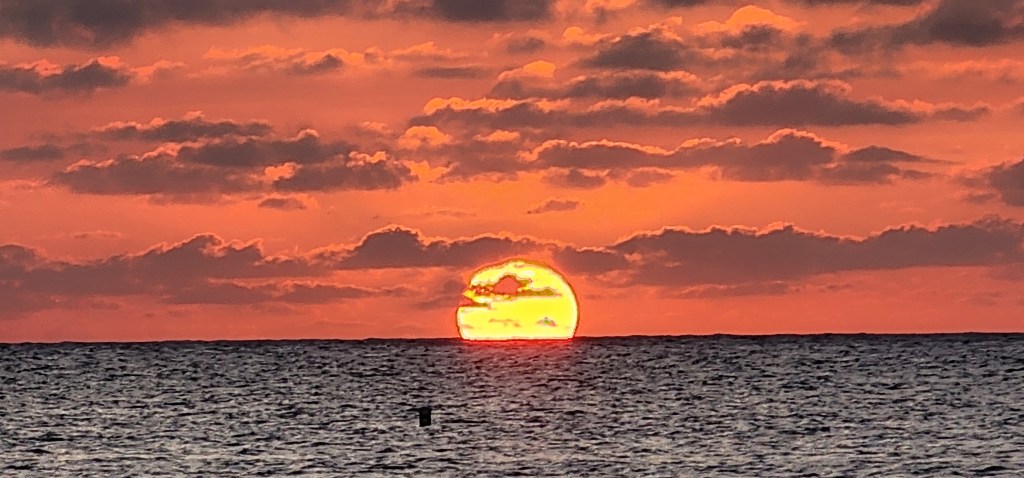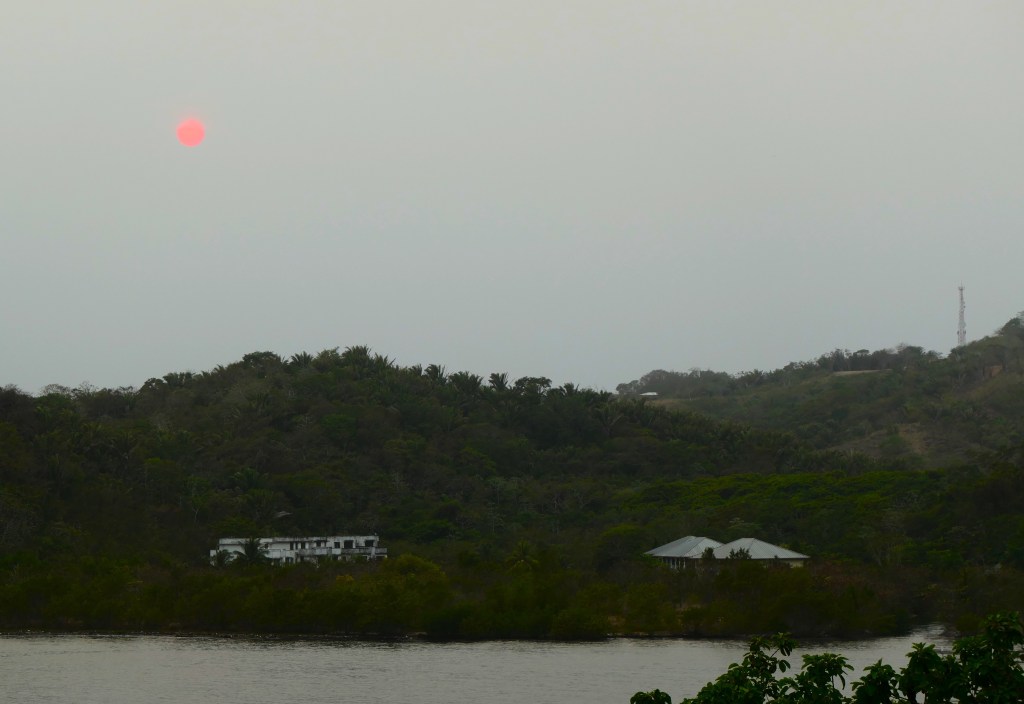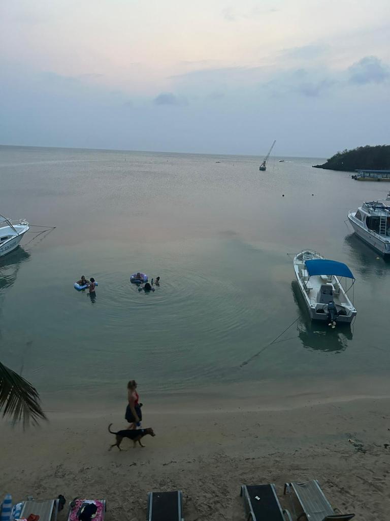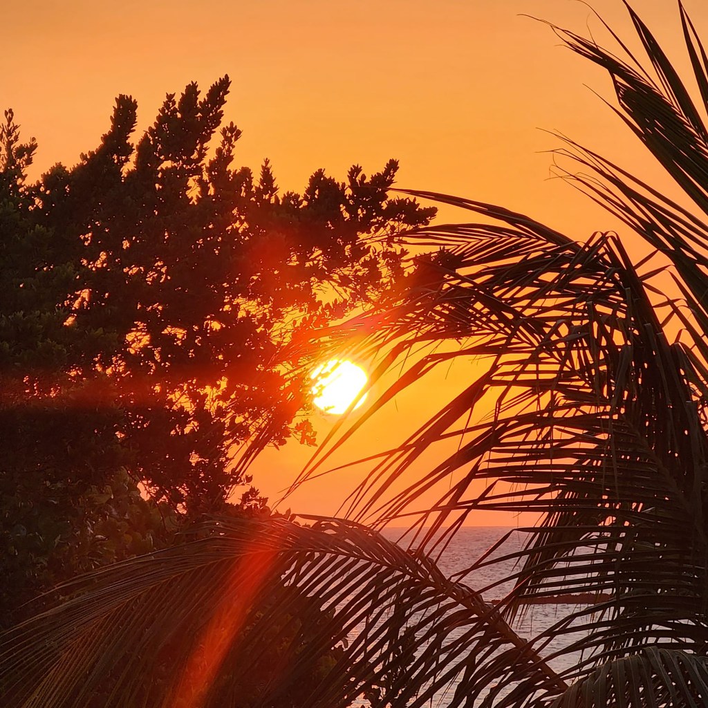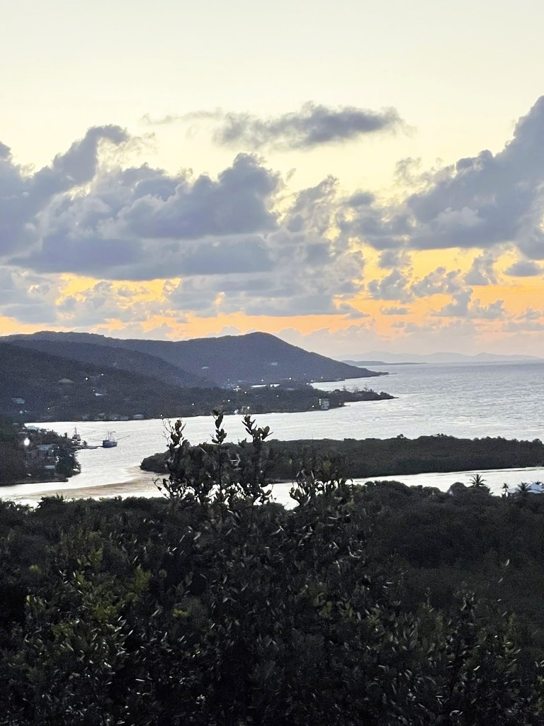
Good morning Bay Islands. I choose to call this photo sunrise over Reco. It was taken in Jonesville Point by Milena Štefaniková. I don’t know about you, but my Reco has been flickering off and on quite a bit lately. Maybe it is the effect of the wind. If so, that should calm a bit over the next couple of days. It is also quite smoky today.
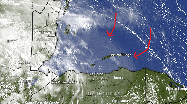
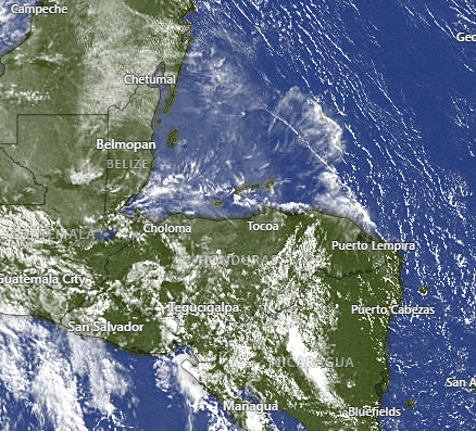
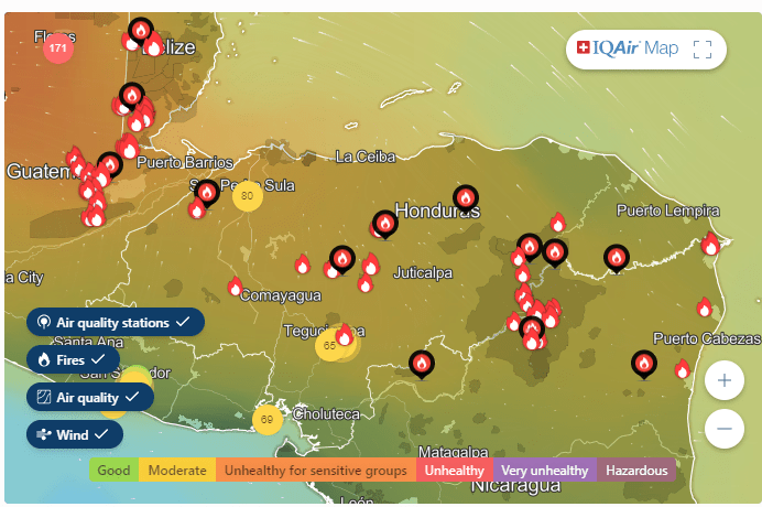
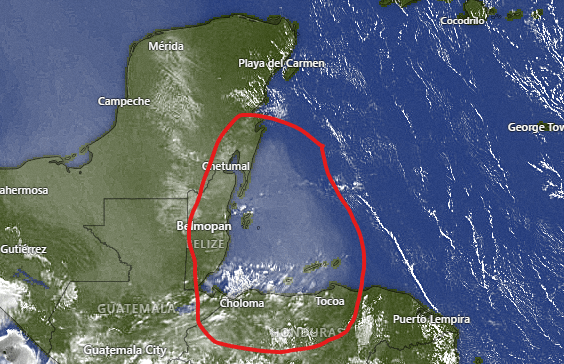
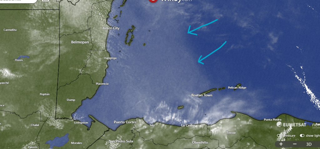
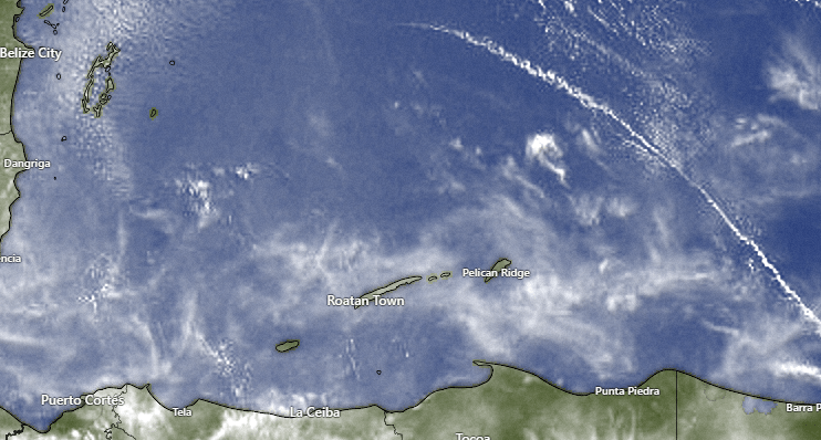
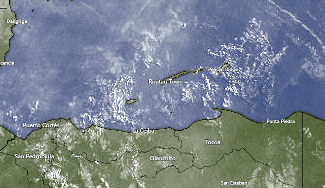
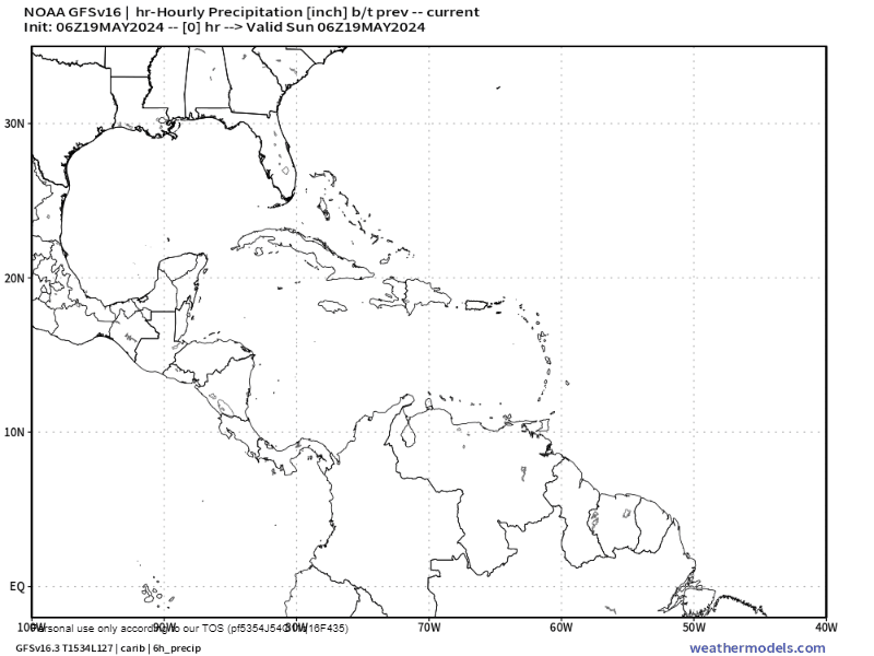
We start as we usually do, with a look at our satellite. We can again see our smoke plume overhead and quite a bit of cloudiness to our west. It seems that the mainland was dry last night and we are dealing with the smoke, perhaps even worse than previous days.
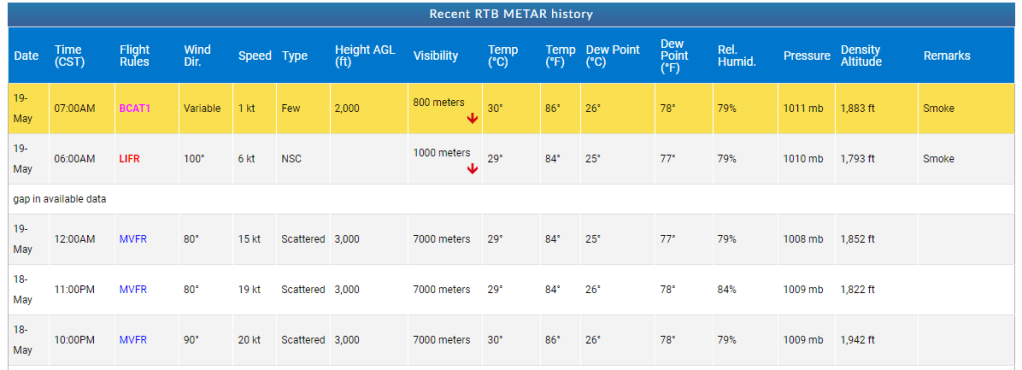
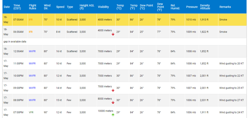
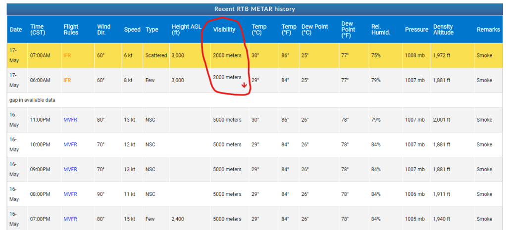
The 7 a.m. report at the airport said that flight conditions were BCAT1, meaning “below category 1”. Even if they had the best instrument landing system available, those aren’t good conditions for flying. Visibility is only 800 meters. At 7:30 a.m. the Agencia Hondureña de Aeronáutica Civil – AHAC has not announced closures yet, but I don’t see how the airport can be open in these conditions. Again, like previous days, hopefully things get clearer in the afternoon and the North American flights can land.
Wind and Galaxy Wave forecast: We wake up to east/southeast winds 20 mph and seas 4-5 feet southside. We should see a bit of a calmdown today, with winds midday 10-15 mph and seas 3-4 feet. Tonight we will get back to 20-25 mph and seas 4-5 feet but tomorrow, winds will be 10-15 mph and seas 2-3 feet. We are still hoping to see winds coming a little more due east over the course of this week instead of from the southeast, thereby decreasing our smoke.
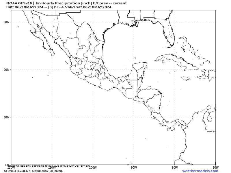
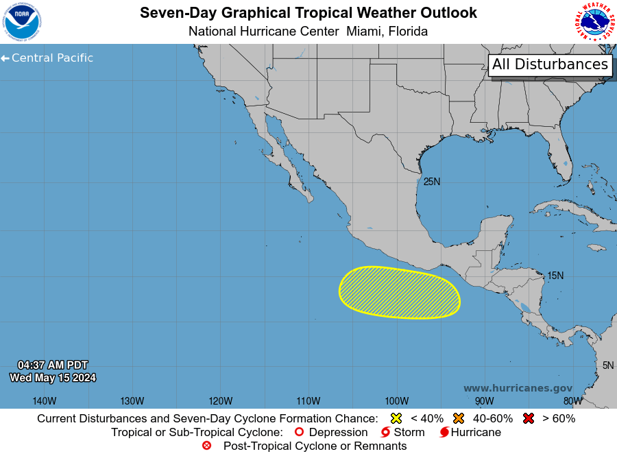
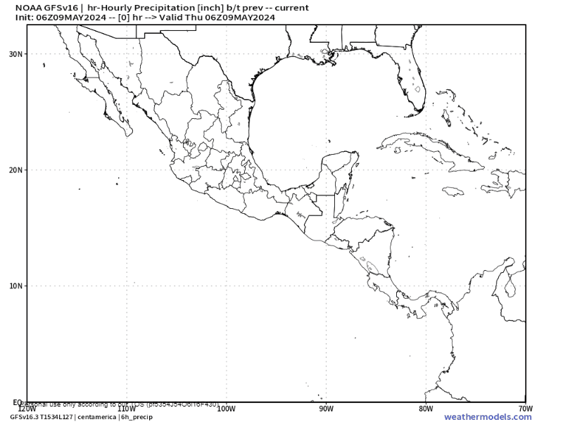
The GFS forecast is not only trying to forecast some rain for the end of May/beginning of June, it is also forecasting a tropical cyclone. I imagine someone will put out a scary post saying we’re about to have a hurricane in Roatan. Don’t believe it. The GFS is famous for forecasting tropical storms in the extended forecast. These storms rarely develop and it would be quite unusual for one to form this time of year. That said, I sincerely hope they are correct about the chances of rain.
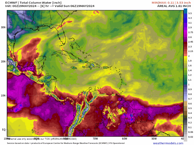
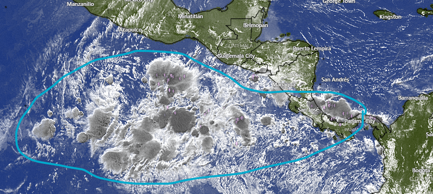
On the bright side, the Euro also agree that as we get to the end of May, we will have more moisture in the upper atmosphere and, therefore, a better chance at showers. The moist air is represented by yellows and reds, the dry by green and blue.

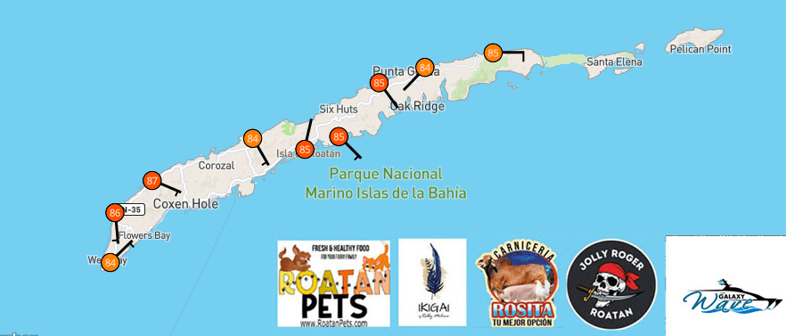
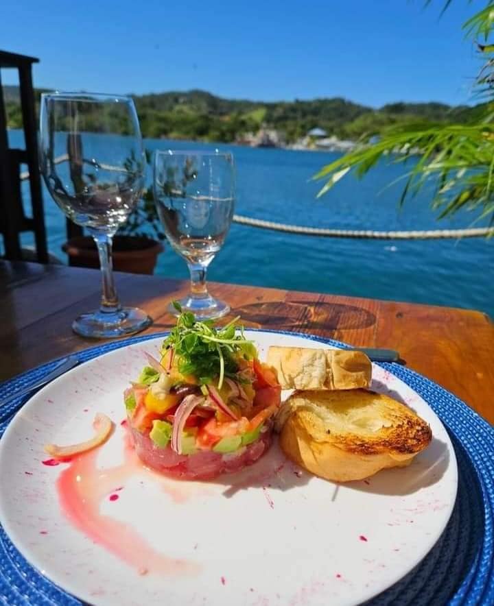
Don’t forget that today is Lobster Sunday at Ikigai by Robby Molina. It’s a deal you can’t beat, with a cocktail to go with it.
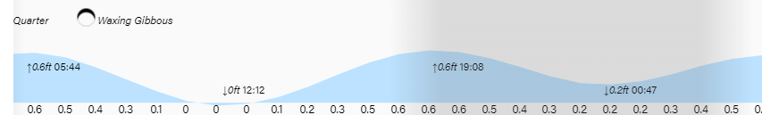
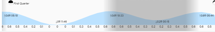
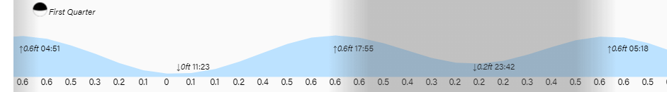
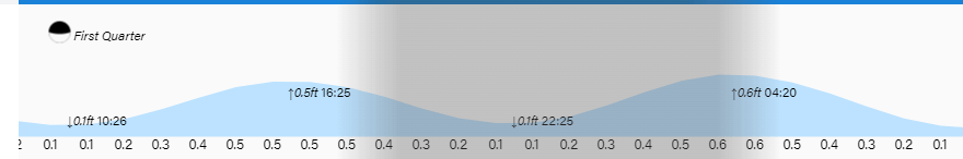
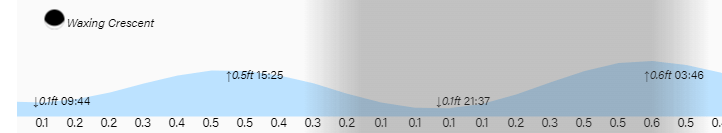
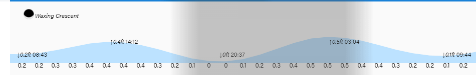
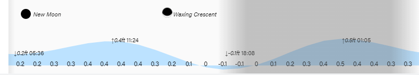
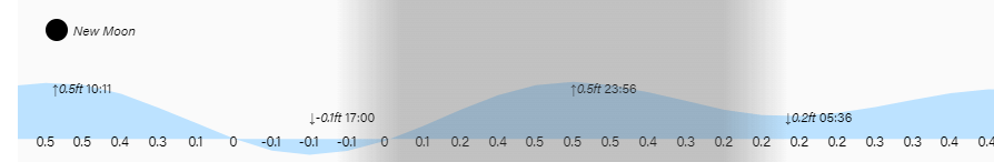
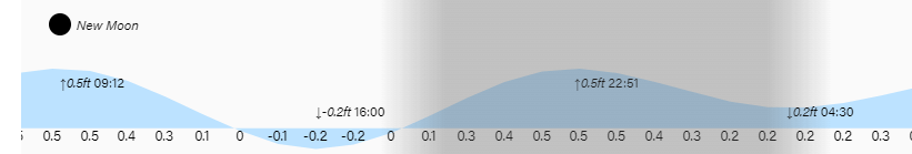
Low tide is around noon. Have a great Sunday!