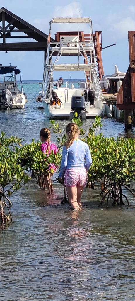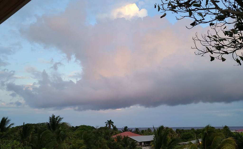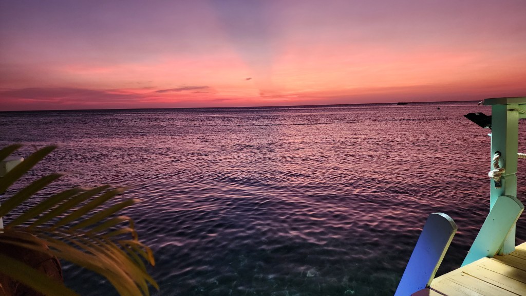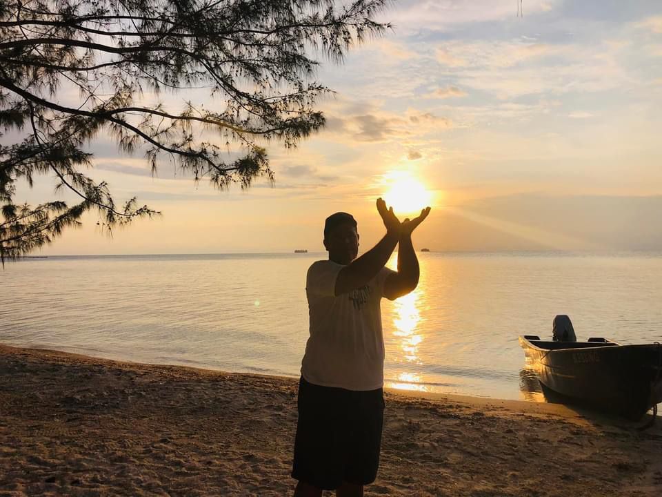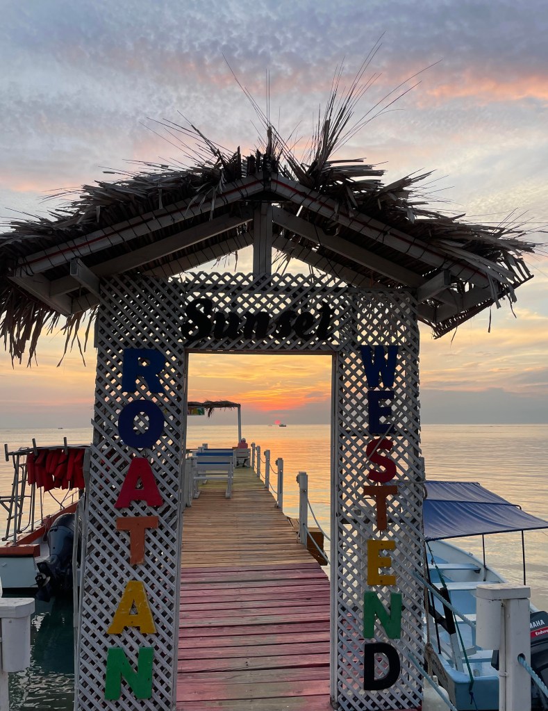
Good morning Bay Islands. Our photo of the day comes from Ariane Baltodano and I’m going to take a wild guess that it is from West End. We continue to have mostly clear skies with the hope of some rain Thursday night into Friday morning.

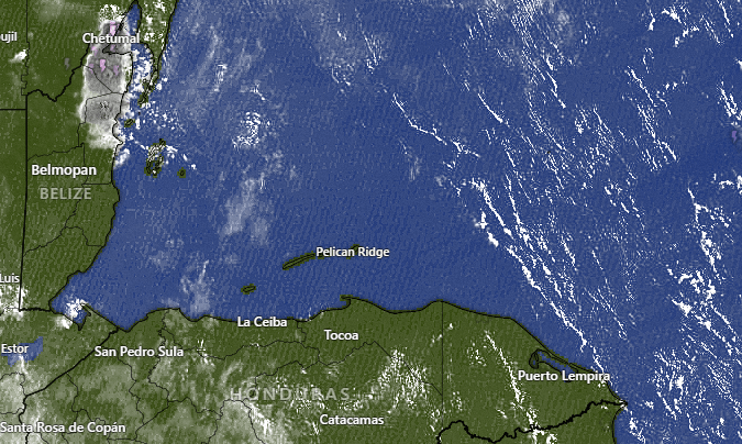
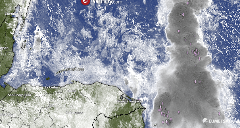
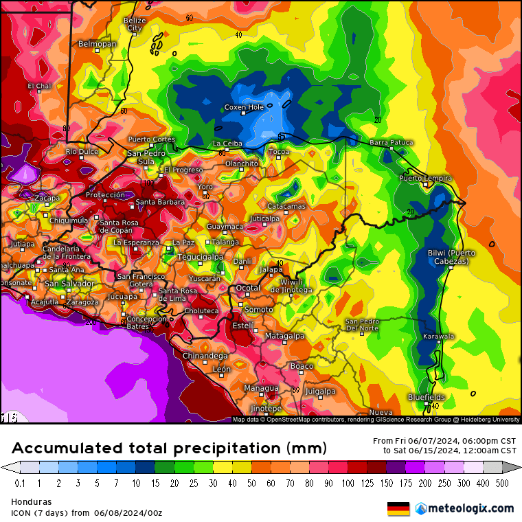
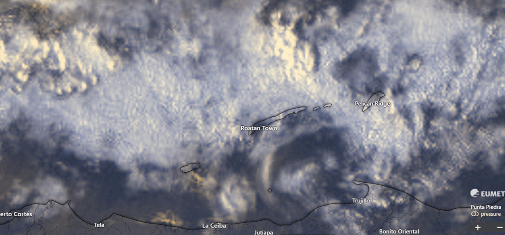
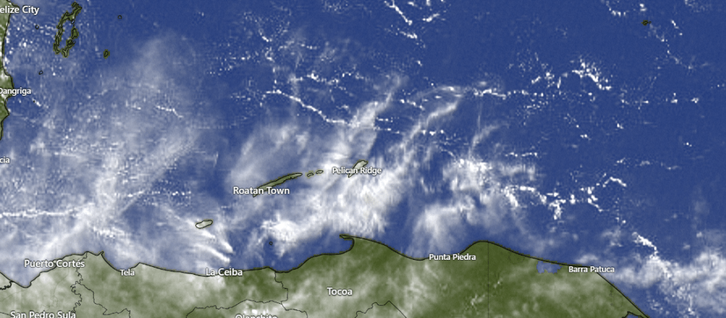
This morning we see a few showers north of Gracias a Dios Department on the Mosquito Coast. The storms are moving southwest very slowly and probably won’t make it here. But it is better than yesterday when we saw nothing on satellite. Our rain chances will increase into the weekend. It’s not a guarantee that we will see rain, but Thursday evening through Saturday morning we will have a 35 percent chance of rain. Let’s hope we get it, because Sunday into the first part of next week looks dry.
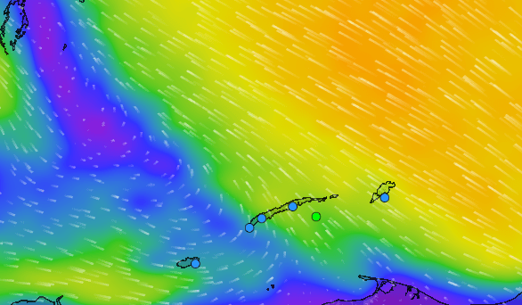
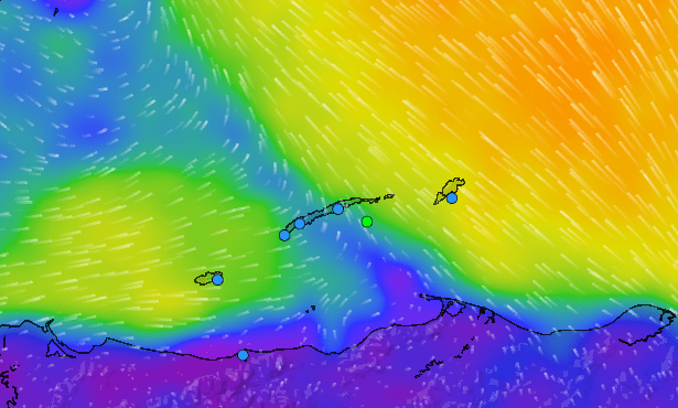
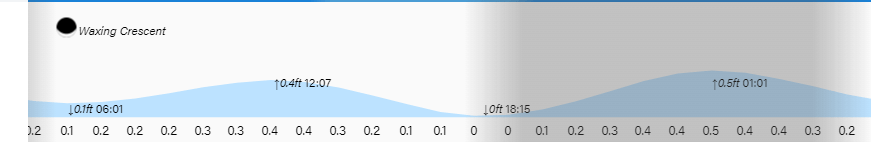
Wind and Galaxy Wave forecast. We wake up on the east side of the island to 20 mph southeast winds, the strongest we’ve felt in awhile, with 3 foot seas. As the day goes on, winds will become much lighter and they will be coming from various directions. The next two days we will have light winds and seas mostly 1-2 feet, but the easterly winds get stronger this weekend, up to 30 mph Saturday night and 20-25 mph through the day on Sunday.

Sunday is the big day for Roa Fest sponsored by Galaxy Wave and among the band lineup is Mid-life Paradise and Ley Seca, two bands that cover a lot of your rock n roll favorites in English and are guaranteed to bring back those memories of your misspent youth. Entry is only 50 lempira and it’s all happening at Sol Y Mar in Sandy Bay.
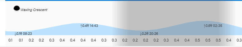
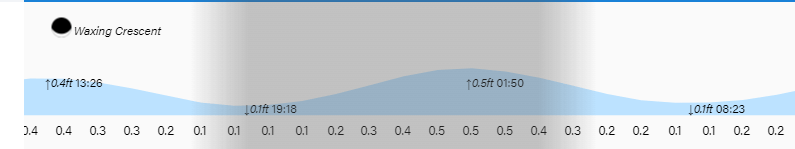
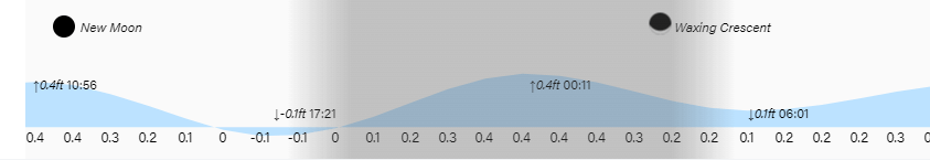
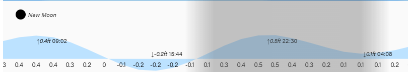
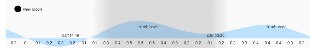
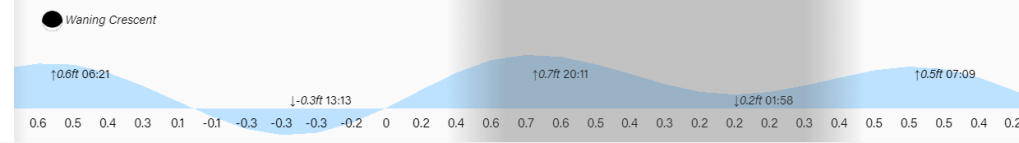
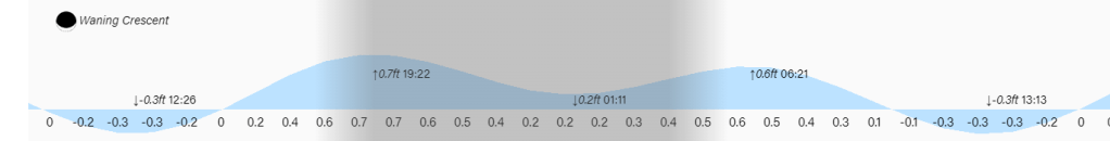
The difference between low and high tide won’t be much. Have a great Wednesday.