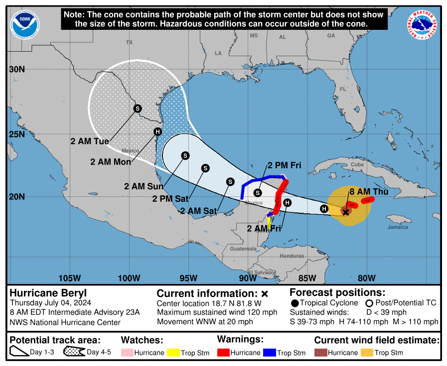
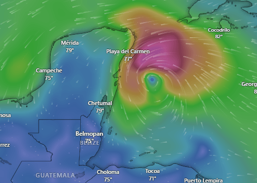
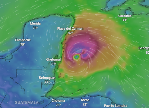
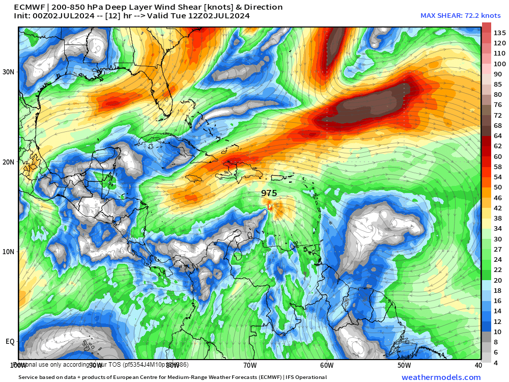
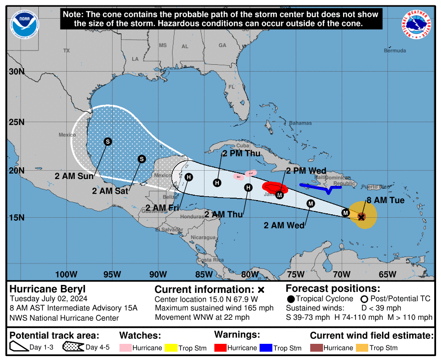
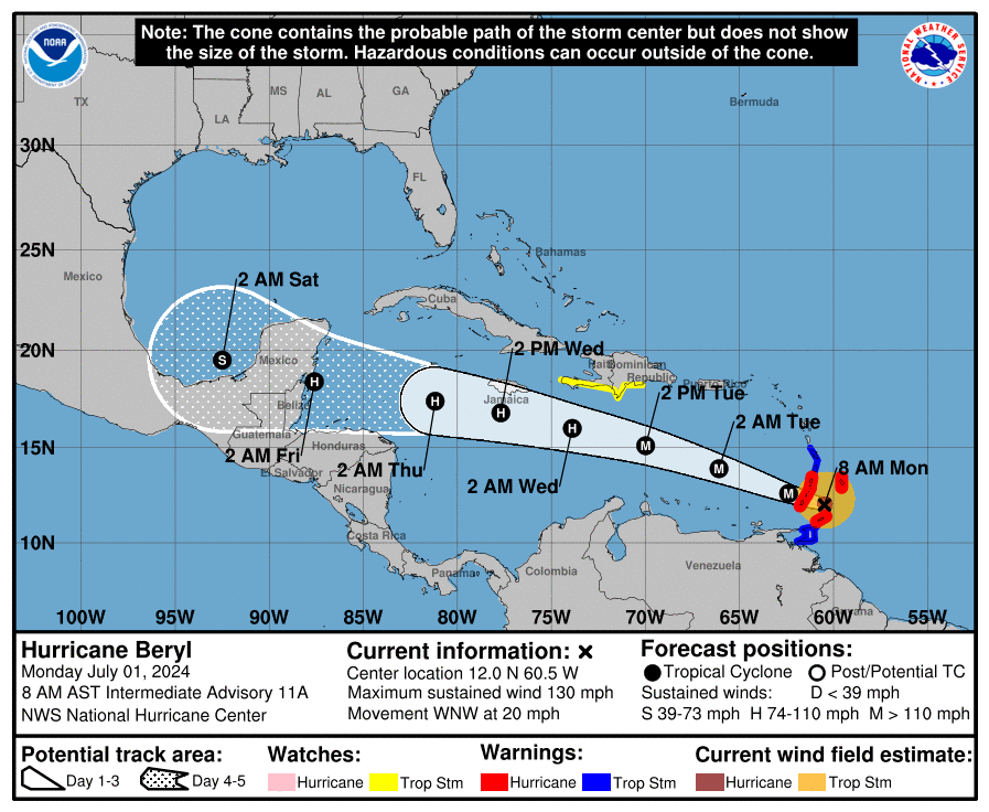
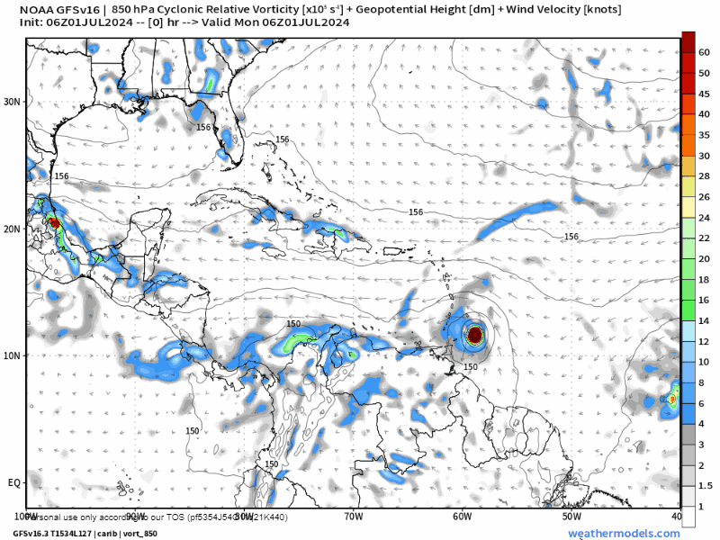
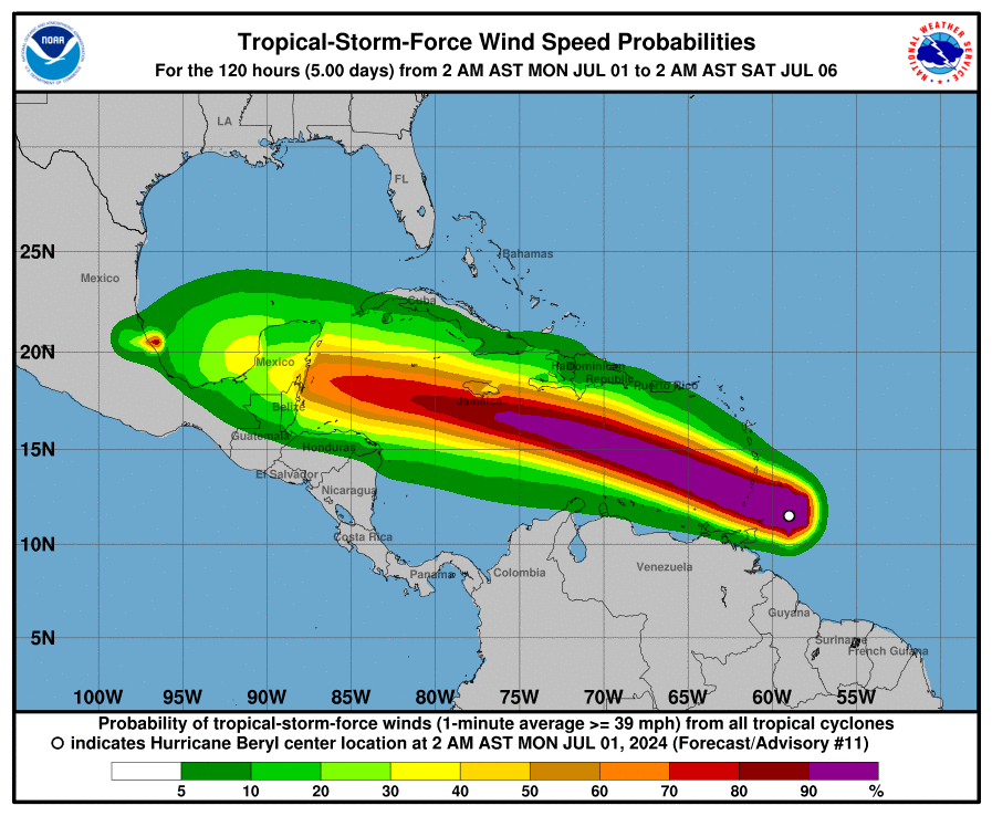
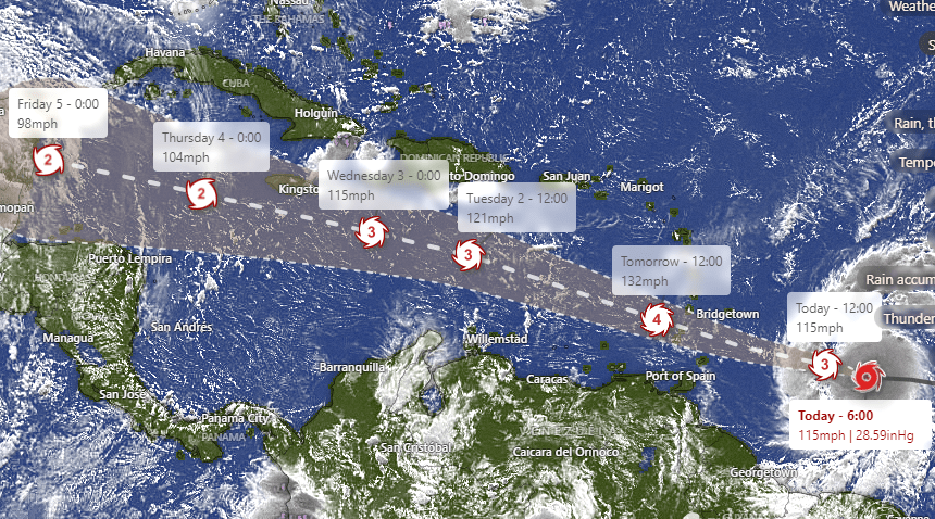
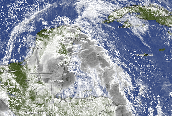
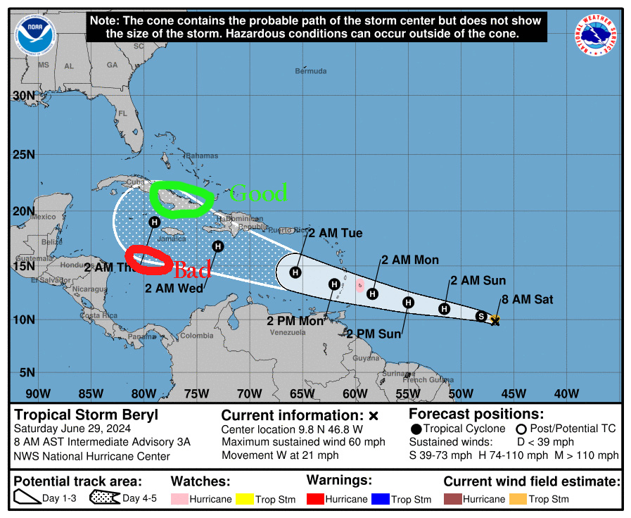
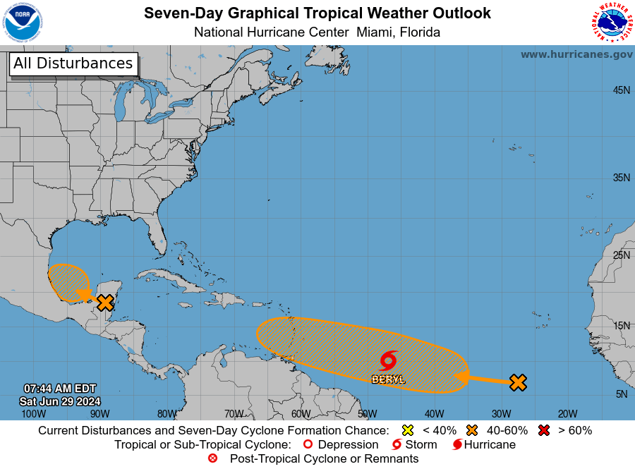
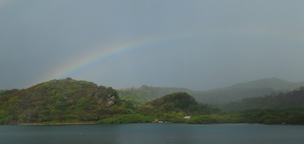
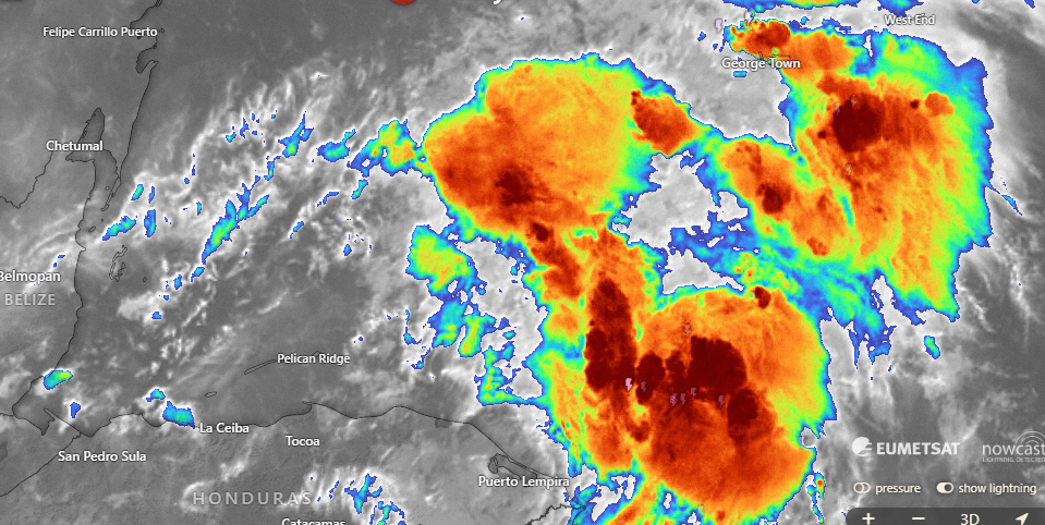
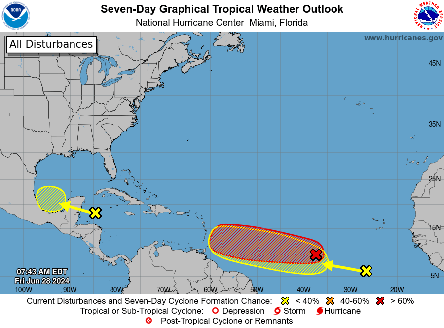
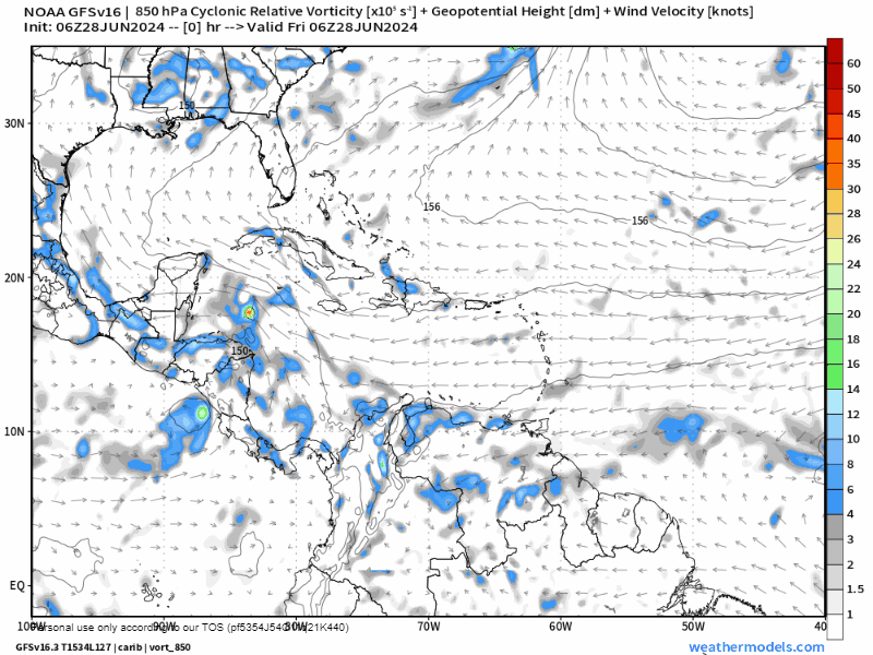
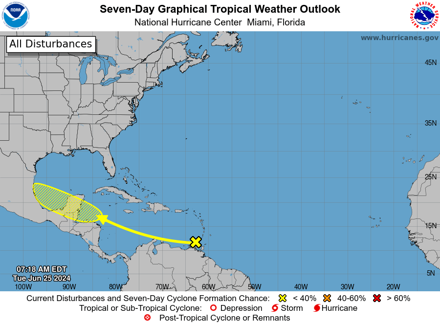
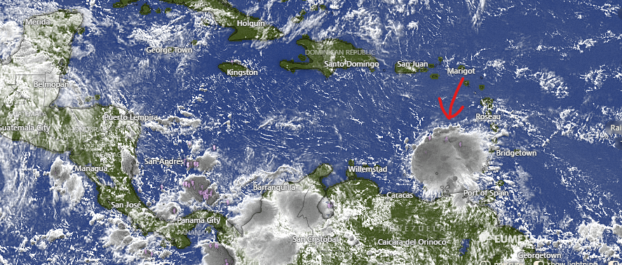
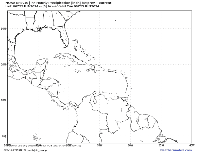
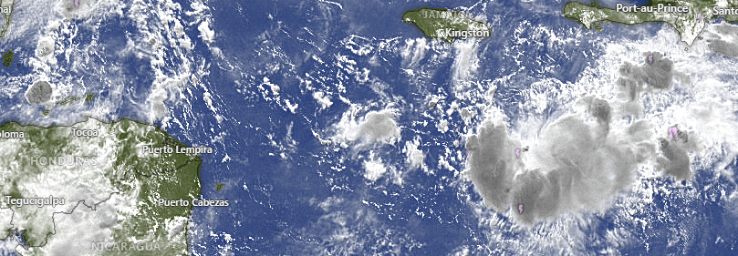
Good morning Bay Islands. Hurricane Beryl moved a little north of predictions and hit the island of Cozumel dead on. It had around 115 mph winds when it hit there, and is now entering the mainland of Yucatan at 100 mph. It is expected to emerge into the Gulf of Mexico and threaten Deep South Texas. As for us, all of us got a little rain out of Beryl, mostly just under an inch, though Sandy Bay got around 2 inches. Winds and seas should calm today through the weekend. There is a storm popping up north of Utila. We’ll see if it grows, but right now we’ll keep a small chance of rain through the morning, mostly dry this afternoon through tomorrow, and we hope the Storm Behind Beryl brings us Sunday afternoon rains.
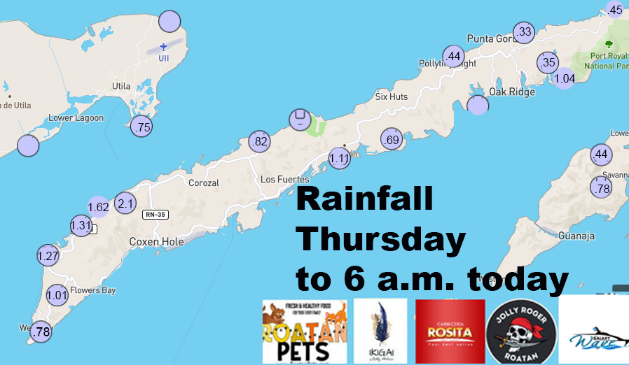
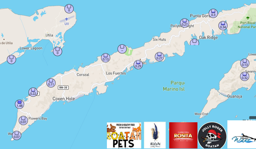
Here are the rainfall totals. Guanaja and Utila have been dry this morning, but they got in on the fun yesterday.
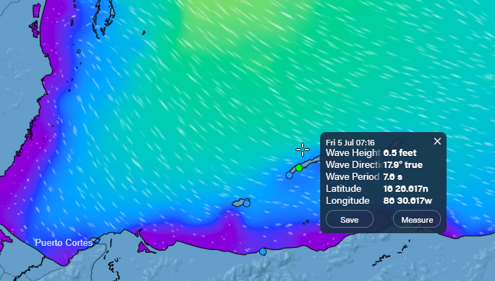
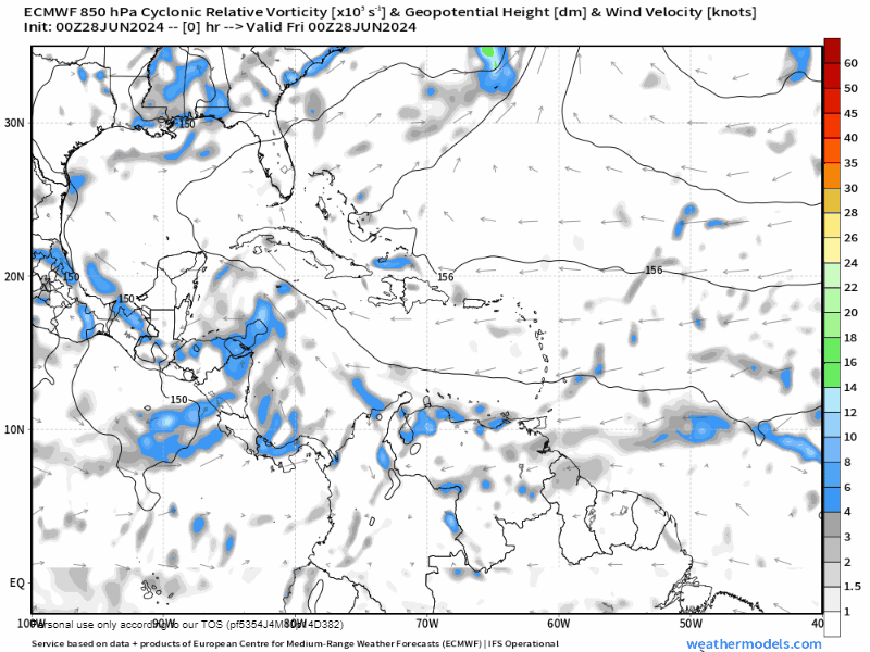
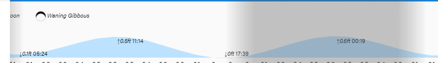
Wind and Galaxy Wave forecast: We start the morning with northwest winds 10-15 mph and seas 4 feet north side. Winds will get quite calm by midday, though seas on the north side will stay choppy, around 3 feet most of today. The weekend looks quite calm for both wind and sea. Easterly trade winds return Monday into next week.
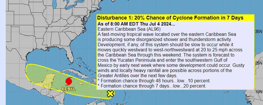
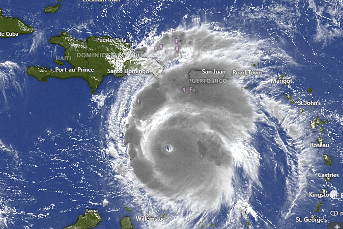
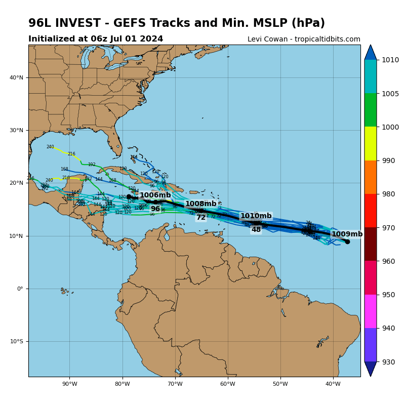
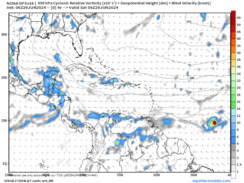
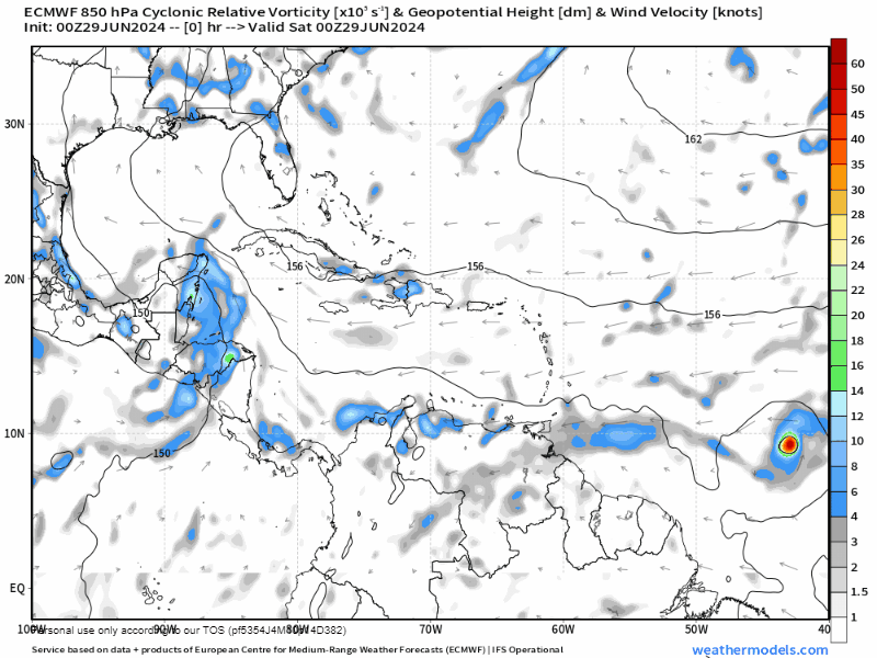
Here is the Storm Behind Beryl. The NOAA NWS National Hurricane Center has dropped any expectation it will turn into a tropical storm, but it still brings us hope for rain, especially Sunday afternoon and Sunday night.
Many thanks to all who have contributed at buymeacoffee.com/roatan and patreon.com/roatanweather, but thanks especially for the kind comments. We try to give an honest forecast without being too extreme either way. Weather is never certain, but there are things that are likely and things that are unlikely and during this hurricane season we want to be prepared. If you buy meat at Carniceria Rosita or dine at Ikigai or take a Jolly Roger excursion or ride the Galaxy Wave or buy your pet Roatan Pets food, let them know you heard about them here.

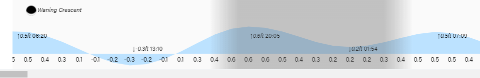
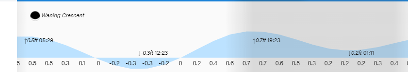
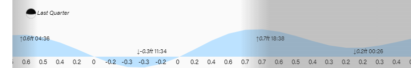
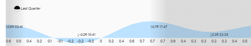
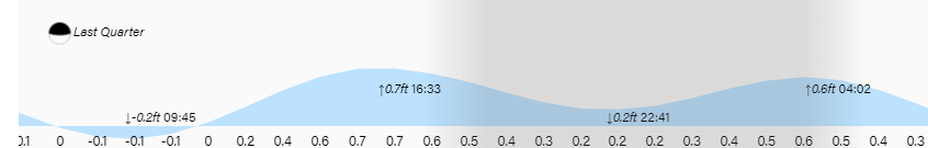
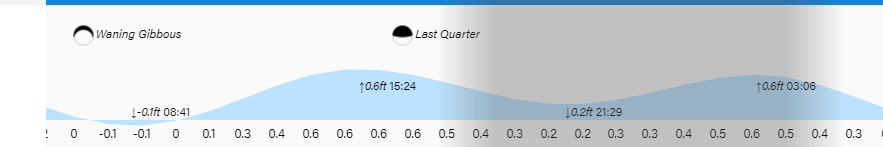
Low tide is 2:30 p.m. Have a great Friday.