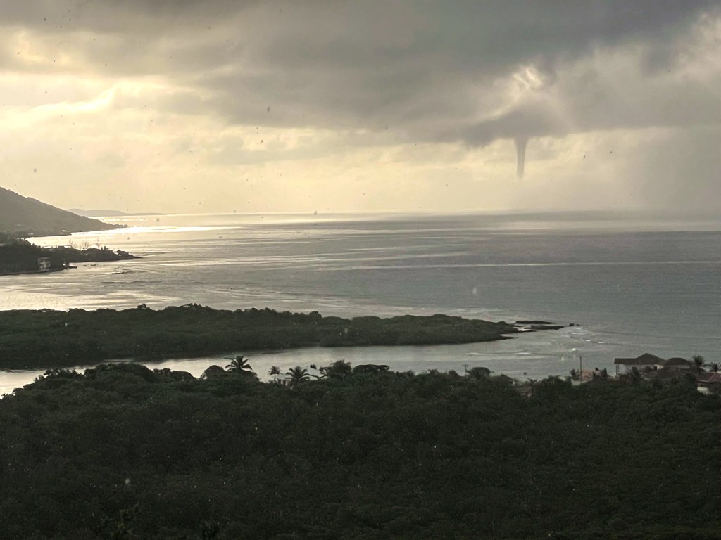
Good morning Bay Islands. Our photo of the day comes from Jeffrey Hill who, ironically, lives up the hill from me in Jonesville Point. This was a waterspout yesterday morning that was the first waterspout I had actually seen in my five and a half years in Roatan.
We have some showers around this morning. The dry conditions we’ve been expecting are coming, they are just coming later than we thought. Tonight through tomorrow and most of Monday should be dry and, at least for the evening and tomorrow, fairly calm.
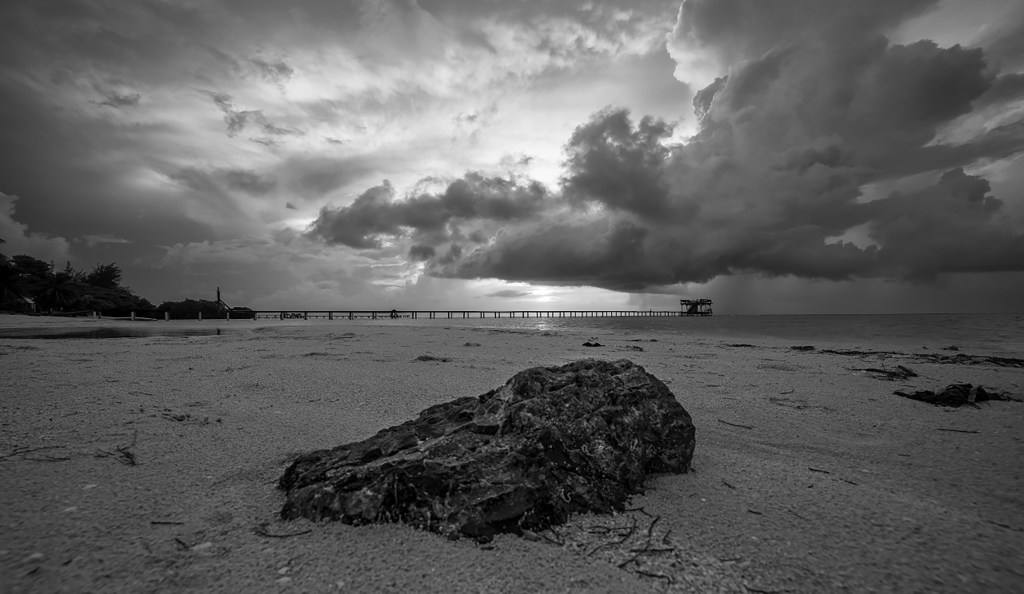
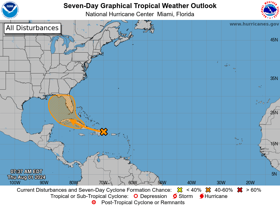
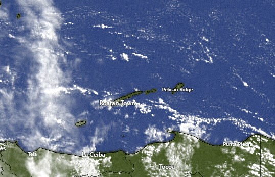
This morning you probably heard some thunder, especially on the west side. The strongest storms are moving south away from the island at 7:30 a.m., but a few stubborn clouds are hanging on. We will keep a chance of showers through the morning hours, but we should have a very low chance of rain this afternoon and evening and near zero chances tonight and tomorrow. Chance of rain Monday is around 20 percent and 30 percent Tuesday and Wednesday. Rain chances look better for Thursday into next Saturday.

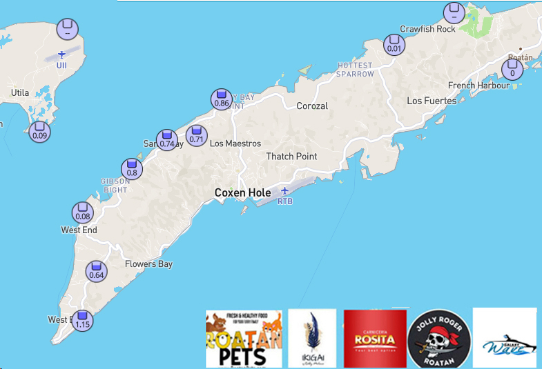
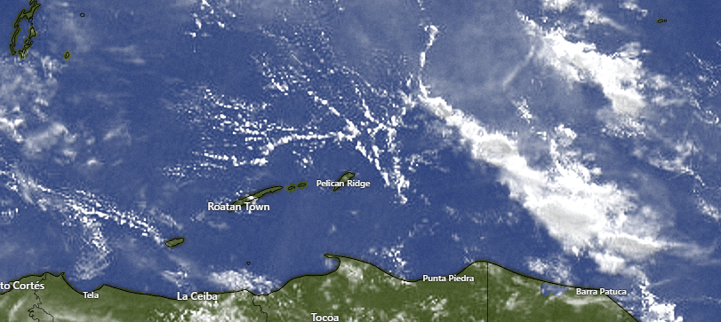
Here are rain totals since midnight. Those storms kind of danced around West Bay and West End, giving them minimal rain.
Wind and Galaxy Wave forecast: We wake up to 10-15 mph WEST winds. That’s the first time I’ve said that in a long time. Those winds are giving us 2 foot seas north and west sides. This afternoon through tomorrow those winds should calm down and I’m still looking for near flat calm conditions the rest of the weekend.
Winds will get back to 15 mph from the east/southeast on Monday and seas 2-3 feet, but next week winds and seas look very moderate to calm some days.
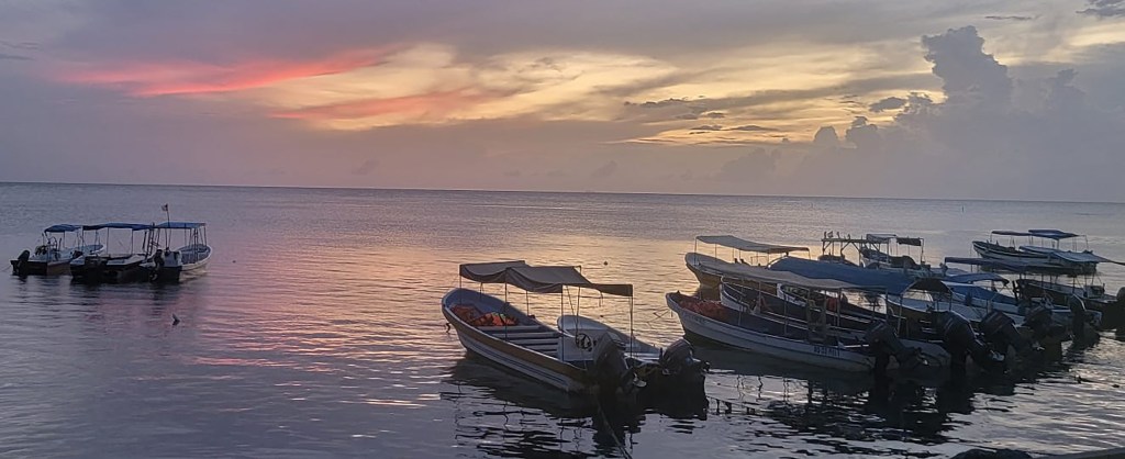
If you are a cruiser planning your excursion, the seas will be awesome, any showers should be brief and Jolly Roger Roatan will give you the best time possible and get you back on ship on time.
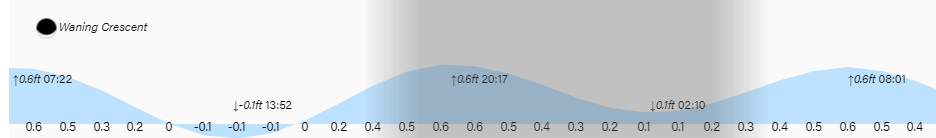
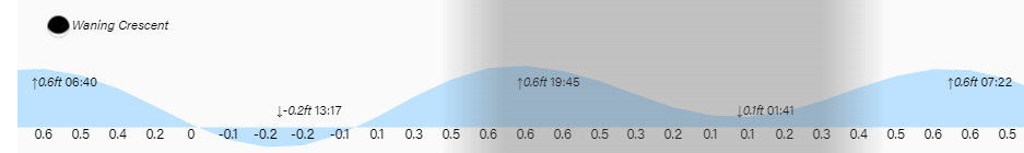
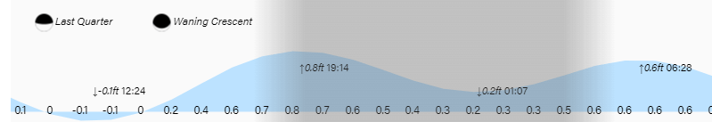
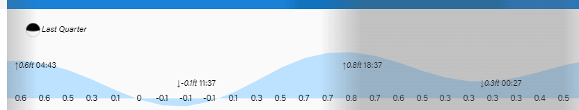
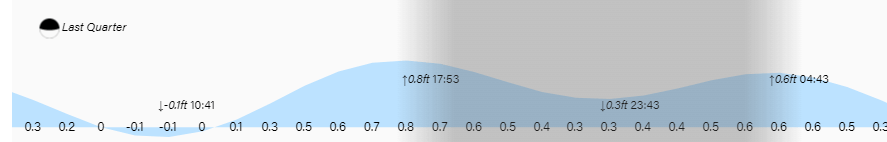
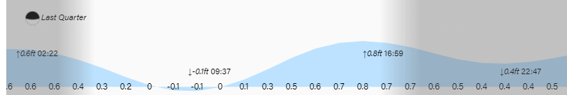
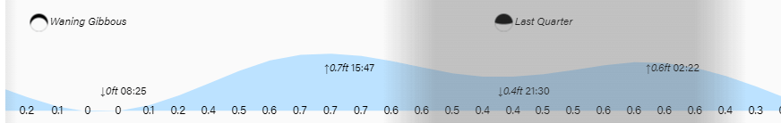
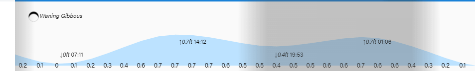
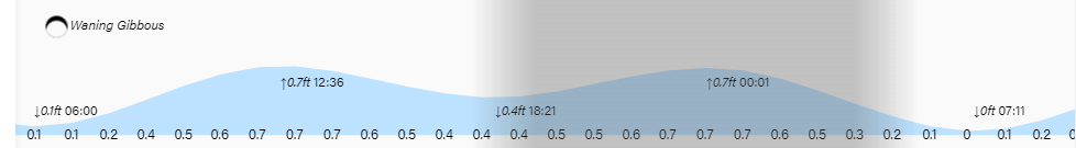
Low tide is 2:20 p.m. and we are getting close to new moon phase. Have a great weekend!