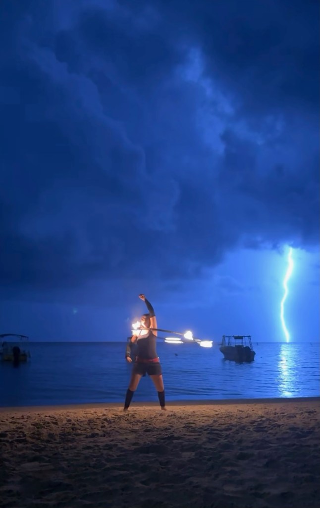
Good morning Bay Islands. This morning’s photo comes from Christina Matthews and shows a fire dancer in West Bay bringing quite a bit of fire. Last night was kind of strange. I was getting all kinds of messages about meteors (Perseids peaked last night) but also about strange white lights at dusk going back and forth. If you saw anything stranger than lightning or meteors, let me know at bookmybio@gmail.com.

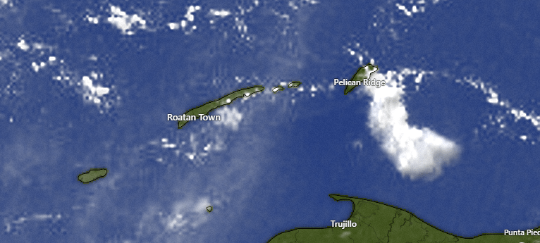
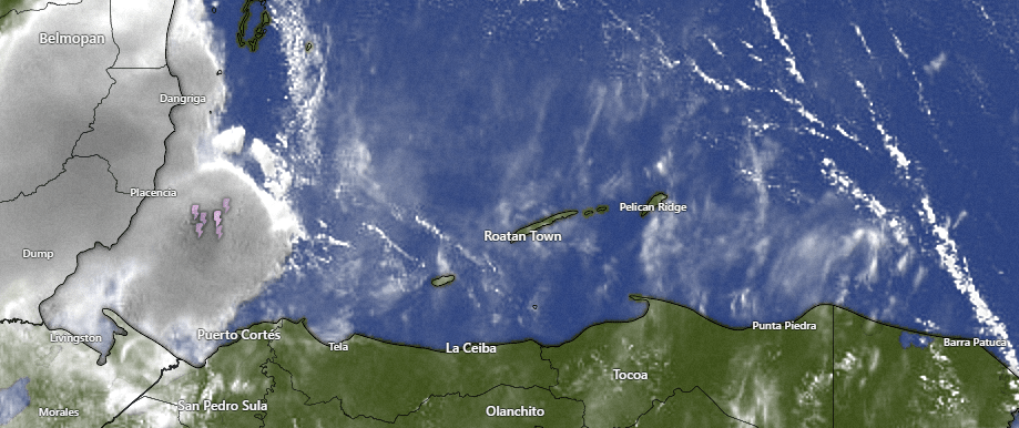
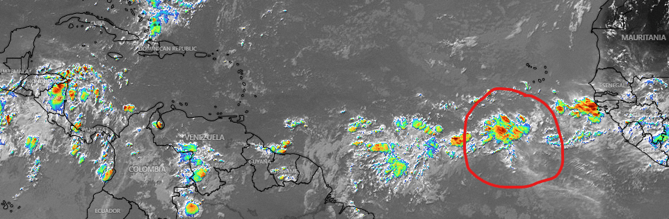
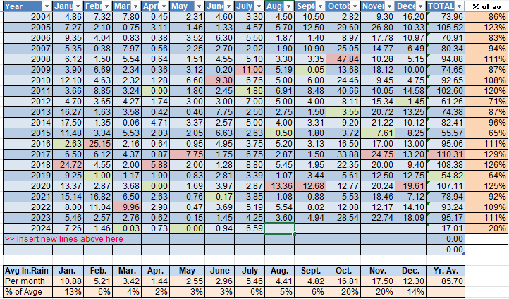
Here’s the rainfall from last night, which mostly concentrated on the west side, though Guanaja got a little rain this morning.
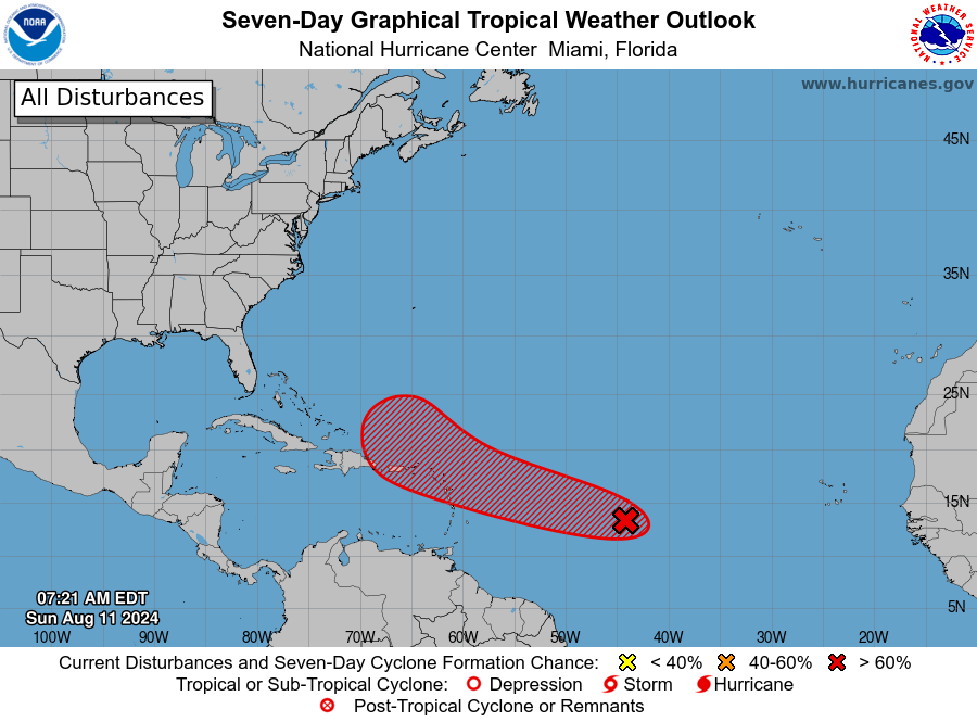
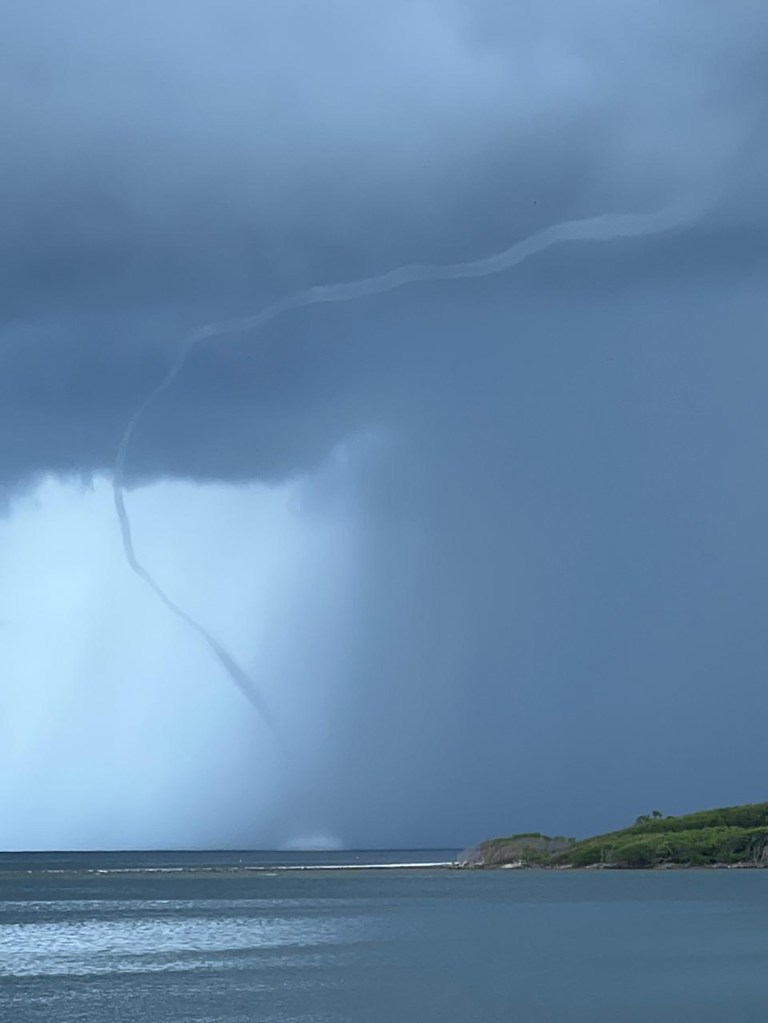
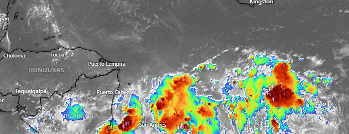
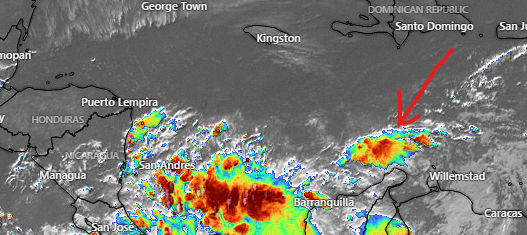
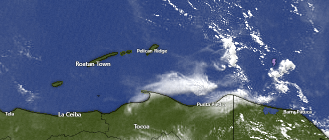
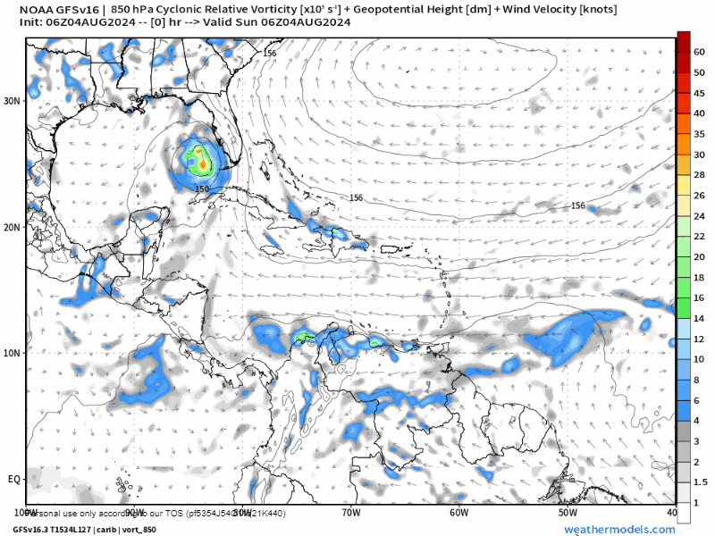
At 7 a.m. we see a few popcorn showers moving westward, one that produced some thunder east of the island, but seems to be weakening as it moves west. We have plenty of popcorn clouds out there, so I will go with partly cloudy skies today and a small chance of a thundershower during the day, and a better chance again tonight. We are in this cycle of a few scattered daytime showers and even stronger nighttime storms. But, hey, it’s better than a drought.
Wind and Galaxy Wave forecast: We continue to have nighttime and early morning winds from the east at 15 mph and 2 foot seas southside, with 5-10 mph winds middays and 1 foot seas. Those will continue this week but, as always, watch out for winds and waves in squalls.

We have another fairly calm week to take advantage of the great sale that Galaxy Wave has going on at roatanferry.com and the many locations across the island. $25 each way for the Roatan/La Ceiba ride. I will be on that ride next week Wednesday morning on my way to a Christian convention in San Pedro Sula. I can’t wait!
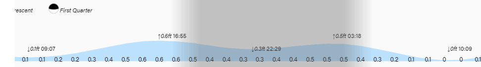
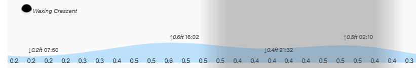
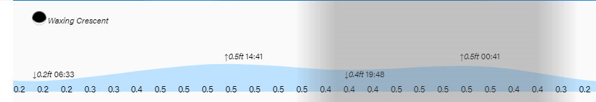
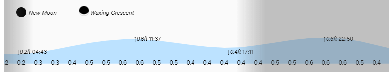
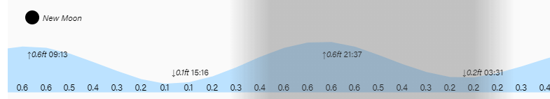
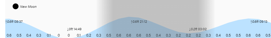
Low tide is 9:10 a.m. Have a great week!