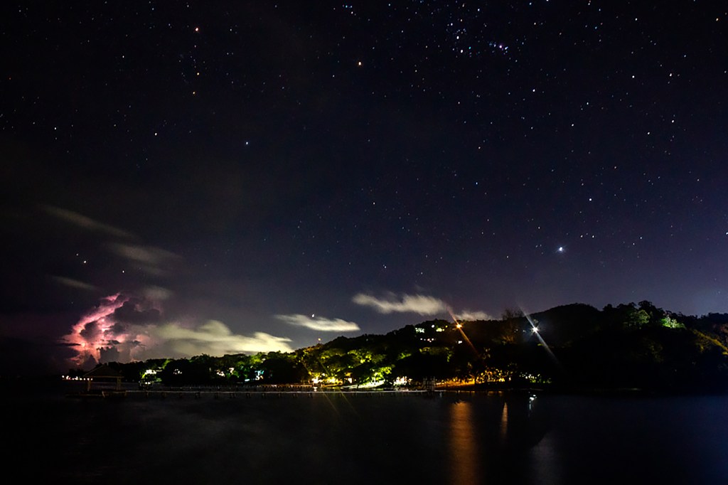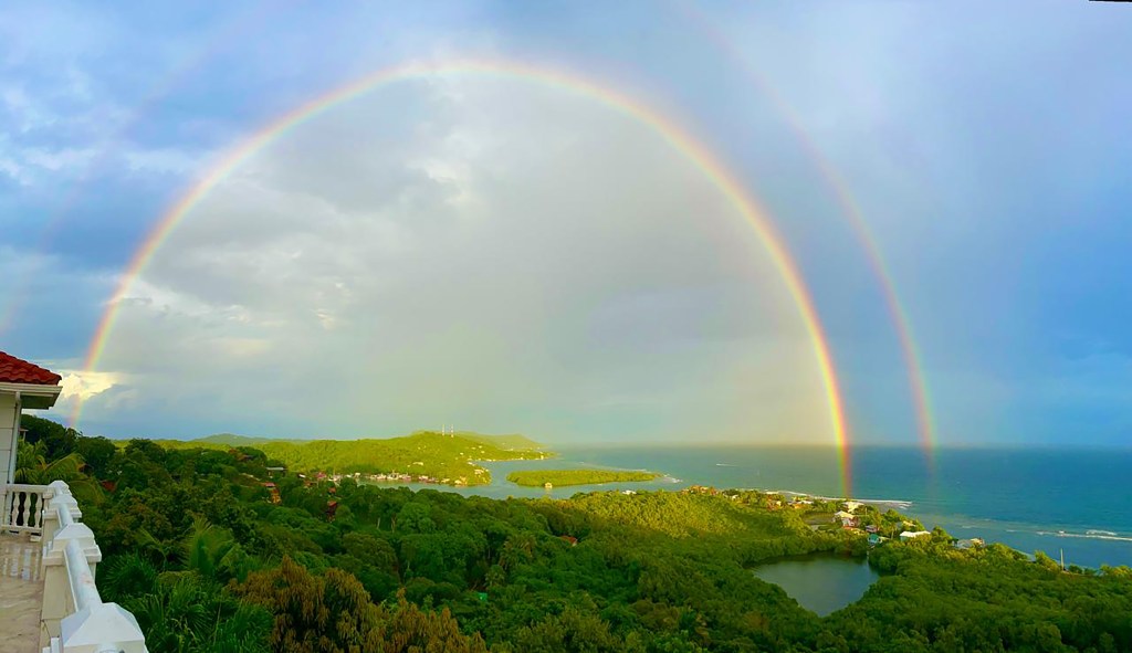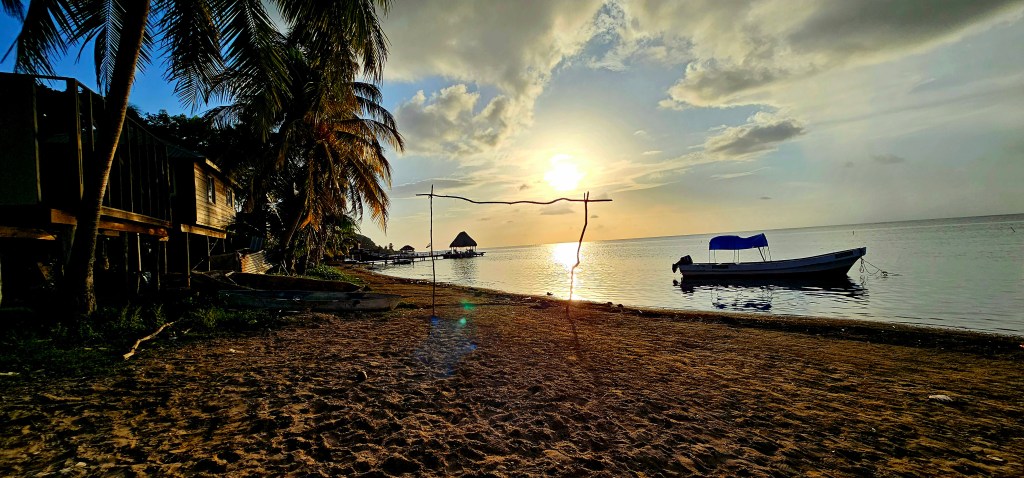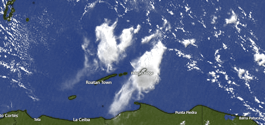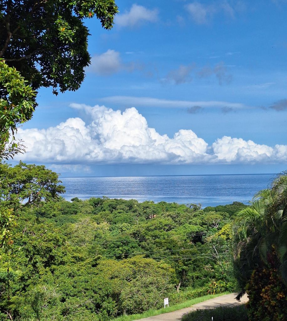
Good morning Bay Islands. Our photo of the day comes from Helen Murphy and shows some nice cumulus clouds in the distance on an otherwise sunny day. We see this a lot on the islands and these clouds are the source of scattered showers. We will see less of these today and tomorrow.
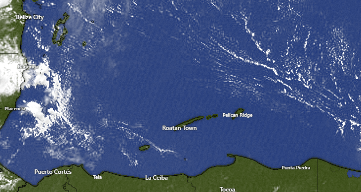
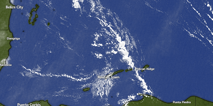
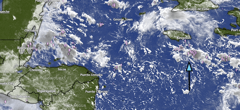
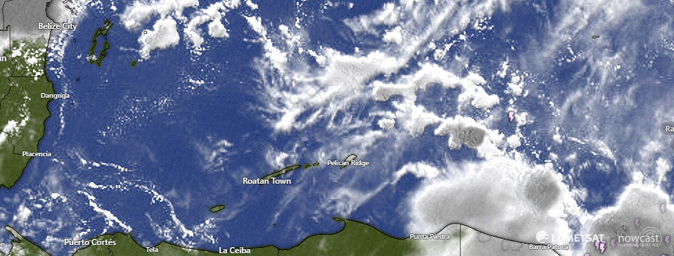
Our satellite is mostly clear at 6:45 a.m. with only a very few popcorn clouds and those are well to our east. Today and tomorrow chances of daytime rain is quite low and only about 20 percent overnight. I know a lot of the young ones who have been practicing their drumming are concerned about the weather Sunday into Monday and there will be a better chance of rain, around 40 percent each day.
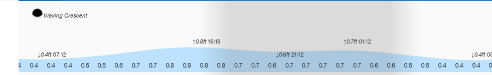
Wind and Galaxy Wave forecast: We wake up a little windier than we’ve been the past few days, with east winds around 15 mph and seas 2-3 feet. Winds should calm quite a bit midday to around 5 mph and turn a bit to the west, calming our seas to 1-2 feet. We will continue to have that cycle, around 15 mph at night and around 5 mph winds middays.
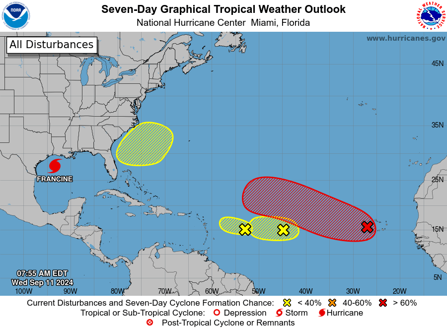
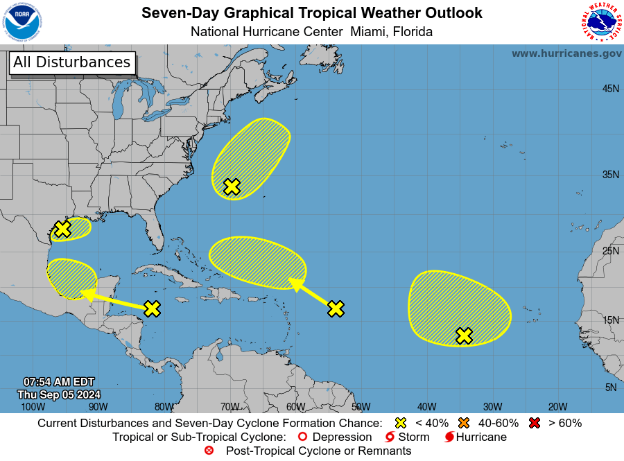
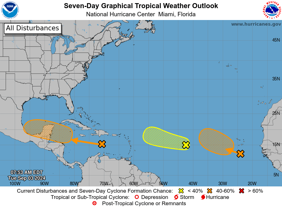
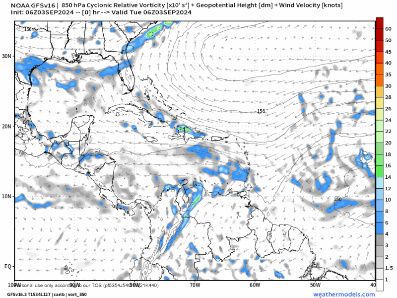
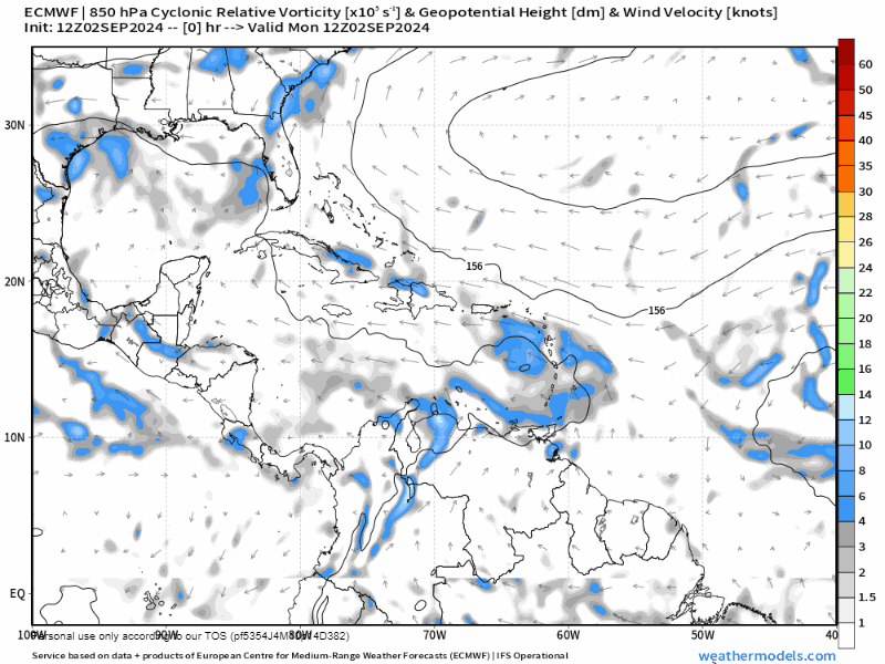
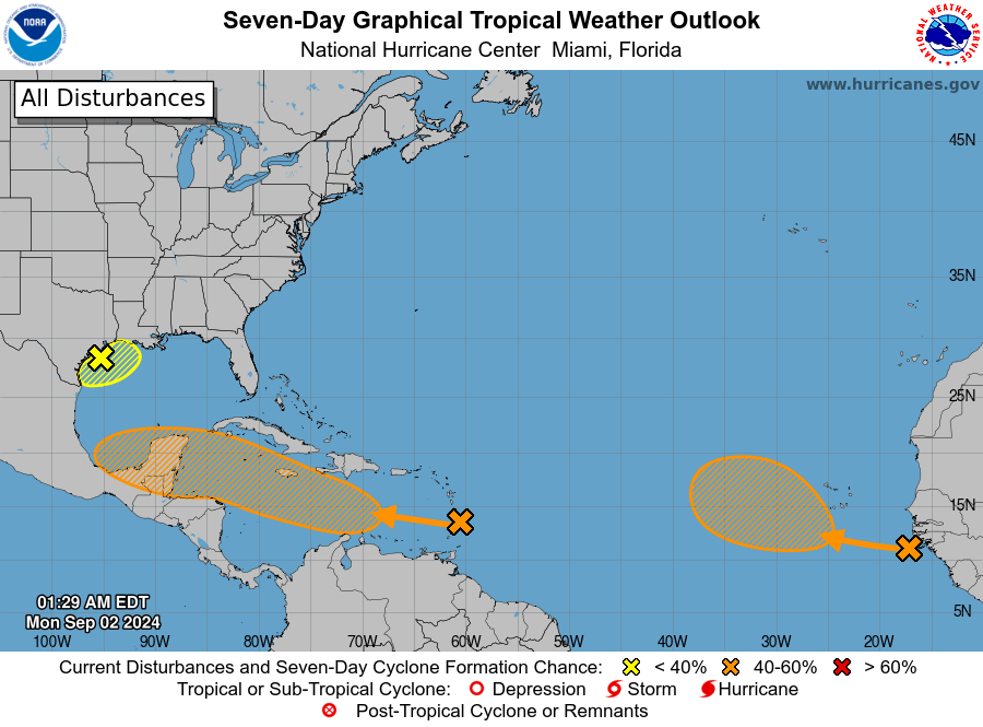
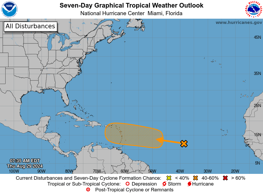
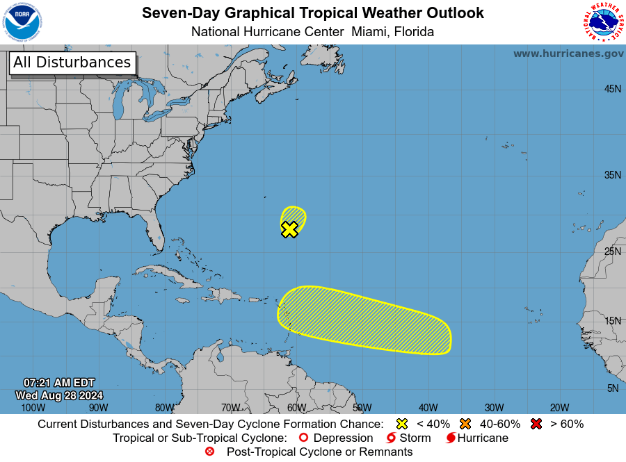
Yesterday was the annual peak for hurricane season and boy can we see a lot of activity out there. Fortunately none of it threatens us. The tropical wave that passed over us last Thursday is now Hurricane Francine and is slamming into the coast west of New Orleans today. There are several candidates for storms in the Atlantic, but all should go to our north.

We just bought one of those fancy cat water fountains for our Tigre, so we know how picky pets can be. And if you have a picky dog, let Mitch Cummins test out some specialized recipes catered to your pooch’s tastes. I can about guarantee you he will figure out just the right formula to please your furry friends.
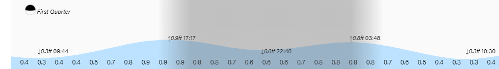
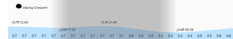
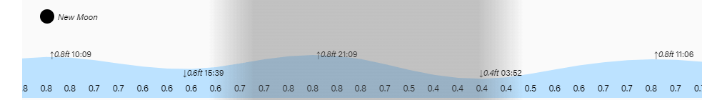
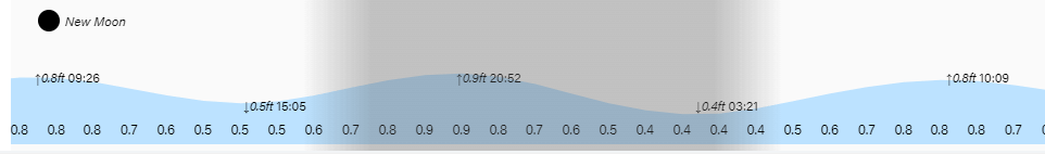
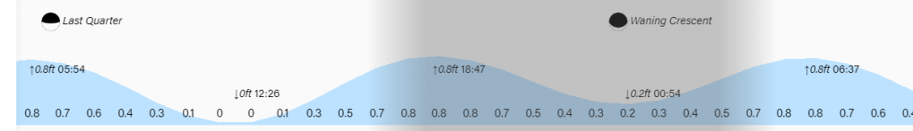
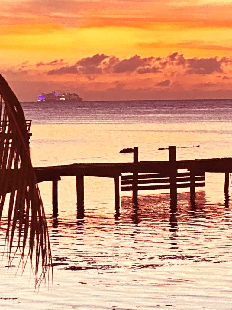
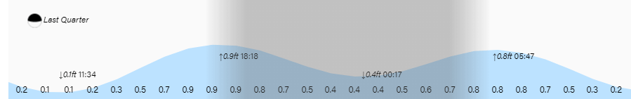
Tides continue to run on the high side. Have a great Wednesday!